MyCOLORADOLife.net
7 days ago my island circle tour left Reykjavik. Traveled first across southern Iceland (viewed waterfalls, geysers, icebergs & glaciers), looped up into the eastern fjords (discovered fish leather fashions), then encountered 3 days of unseasonable snow travelling over mountain passes in Iceland’s North (Viking snow swim in Mývatn).
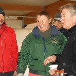
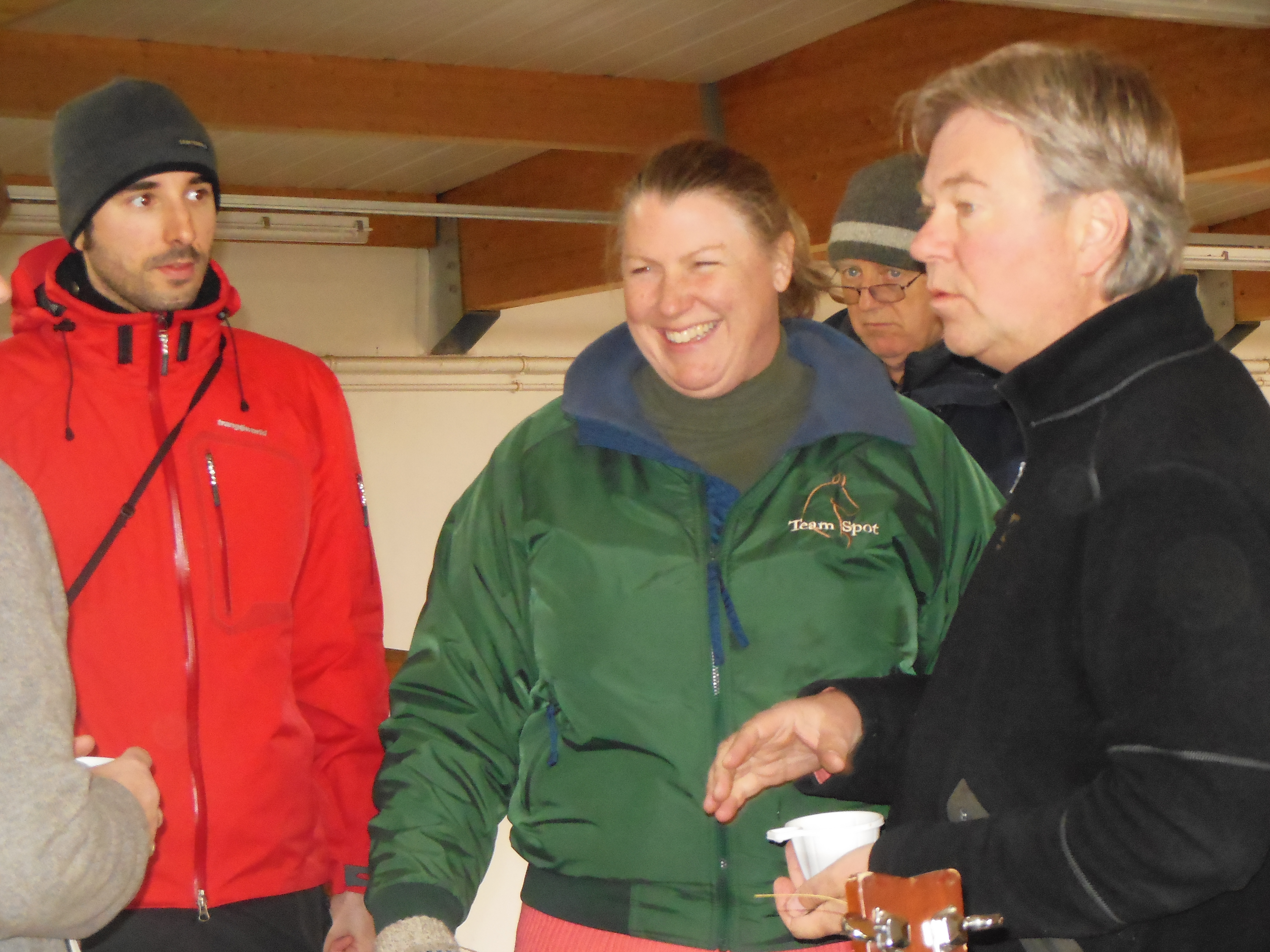
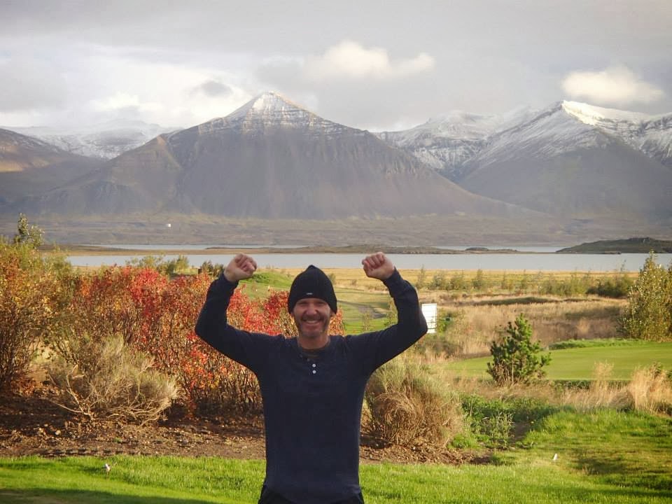
Today, SUNSHINE 🙂 as we completed the loop through Western Iceland.
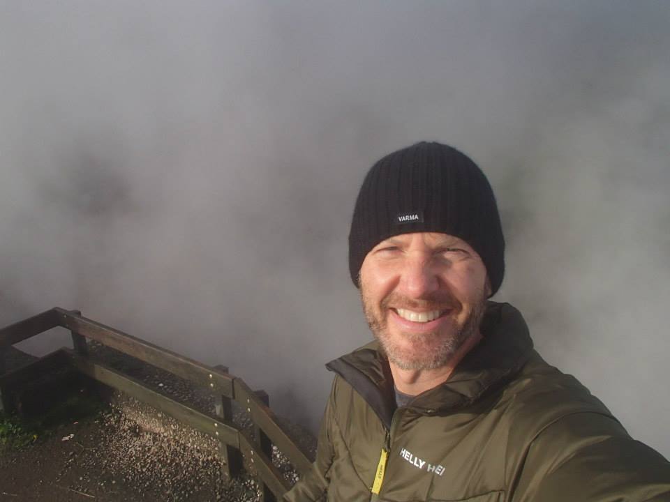
First stop – Deildartunguhver, the world’s largest and most powerful hot springs – gurgling at a piping hot 200°F.
WATCH my short clip ‘Deildartunguhver (Iceland)’!
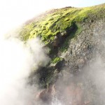
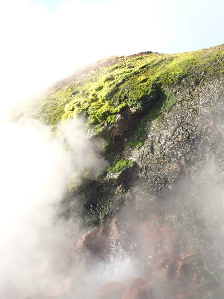
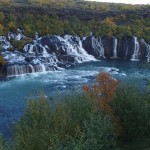
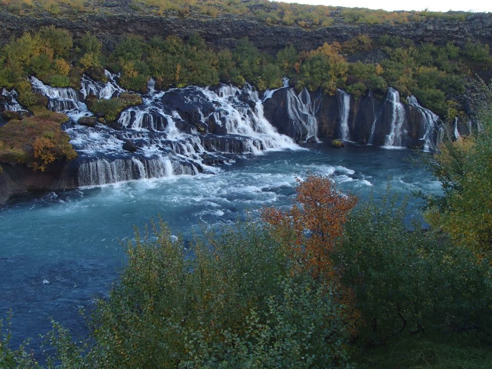
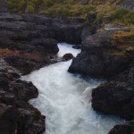
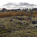
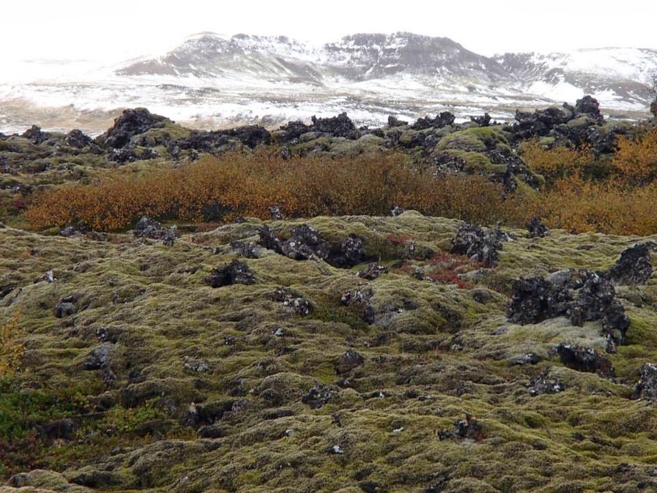
2nd stop – Hraunfossar & Barnafoss waterfalls. A series of cascading waterfalls, Hraunfossar (Lava Falls) pours from a lava field lying under the glacier Langjökull. In layman terms – BEAUTIFUL!
Barnafoss (Children’s Falls) on the other hand pushes through a volcanic rock canyon before also emptying into the river Hvítá.
Many Icelandic folk tales have been associated with Barnafoss, the most famous being about two boys from a nearby farm, Hraunsás. One day, the boys’ parents went with their ploughmen to a church. The boys were supposed to stay at home, but as they grew bored they decided to follow their parents. They made a shortcut and crossed a natural stone-bridge that was above the waterfall. But on their way, they felt dizzy and fell into the water and drowned. When their mother found out what had happened, she put a spell on the bridge saying that nobody would ever cross it without drowning himself. A little while later, the bridge was demolished in an earthquake.
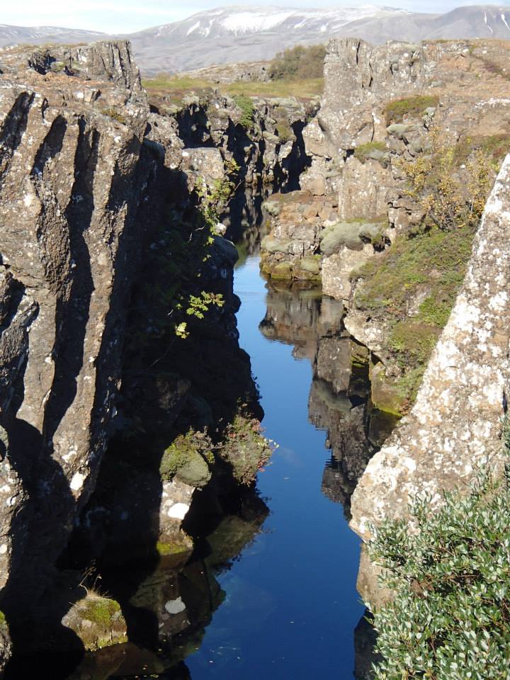
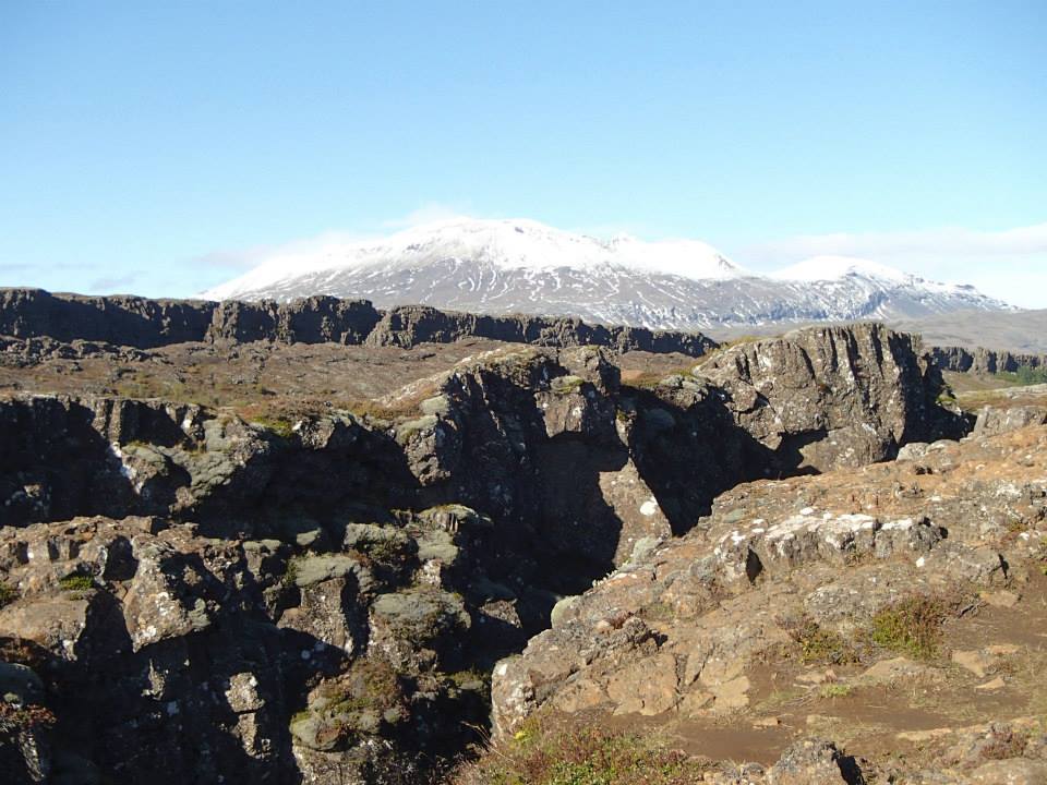
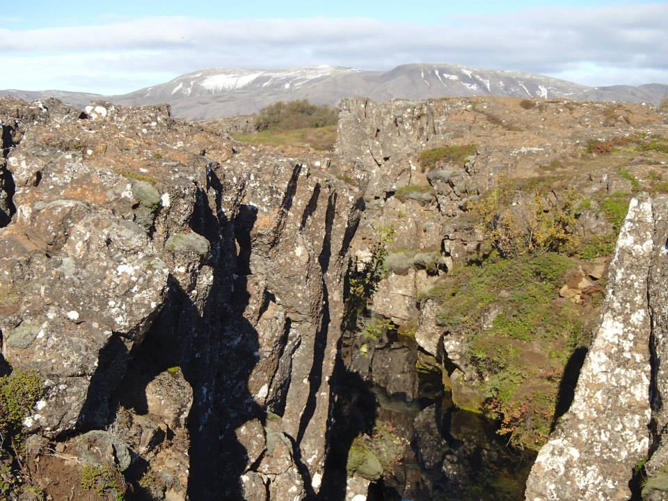
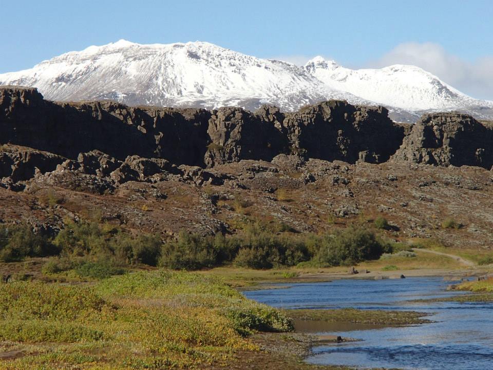
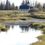
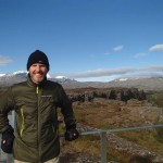
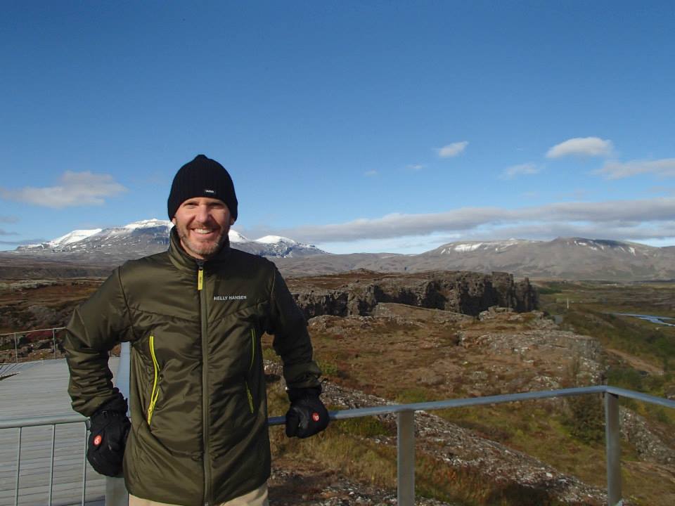
Finale – Þingvellir (Thingvellir) National Park where the Alþingi, an open-air assembly representing the whole of Iceland, was established in 930 and continued to meet until 1798. It was here that Christianity was introduced as the official religion of Iceland. AND in 1944, Iceland declared its independence (from Denmark) at Þingvellir.
All super interesting but for me – Today’s Highlight: the Eurasian & North American tectonic plates jutting dramatically from the valley’s volatile surface. An active fault line runs diagonally across Iceland (SW to NE) & is the source of earthquakes and major volcanic eruptions (every 4 years on average).
Amazing tour end – STUNNING!
Back in Reykjavik with 20 hours ’til my return flight to Denver. Rest, relax? Heck, no. Shelled out a fast 5400 ISK (Icelandic króna) – tonite’s my last chance to see the Northern Lights!
-
- Western Iceland
-
- Delidartunguhver, world’s largest & most powerful hot springs
-
- SUPER hot, 200°F!
-
- Hraunfossar waterfall (Lava Falls)
-
- Barnafoss (Children’s Falls) – sadly, named for 2 boys believed to have fallen into the river below
-
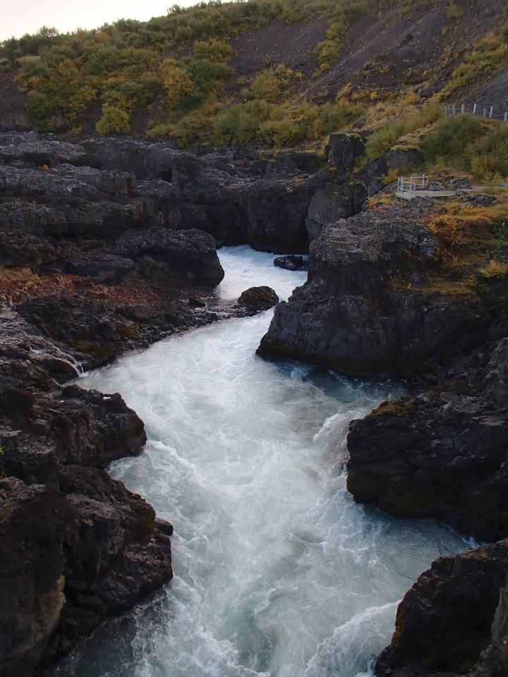
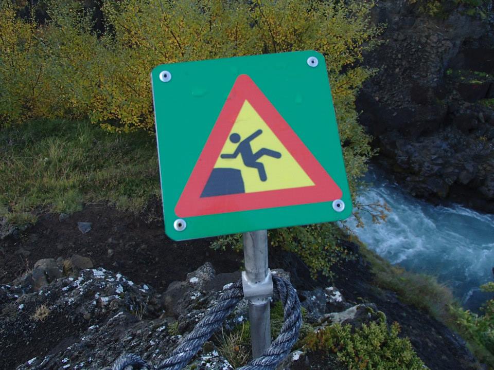
- funny, yet on-point warning
-
- Thingvellir Nat’l Park
-
- Eurasian (foreground) & North American tectonic plates
-
- stunning natural beauty
-
- scenic North American tectonic plate & fault line area
-
- Althing, Icelandic parliament, was established in 930 and continued to meet until 1798

-
- sunshine, snow & volcanic rock – nope, can’t stop smiling
Ended Sunday in snow & continued the next 2 days across Northern Iceland stuck in the same weather pattern.
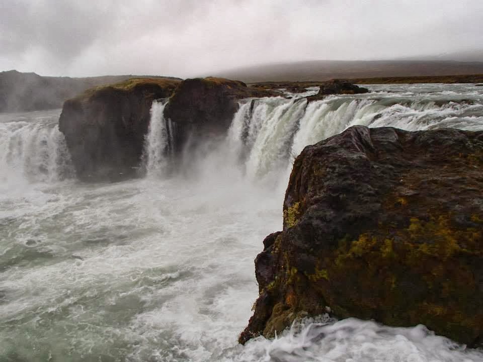
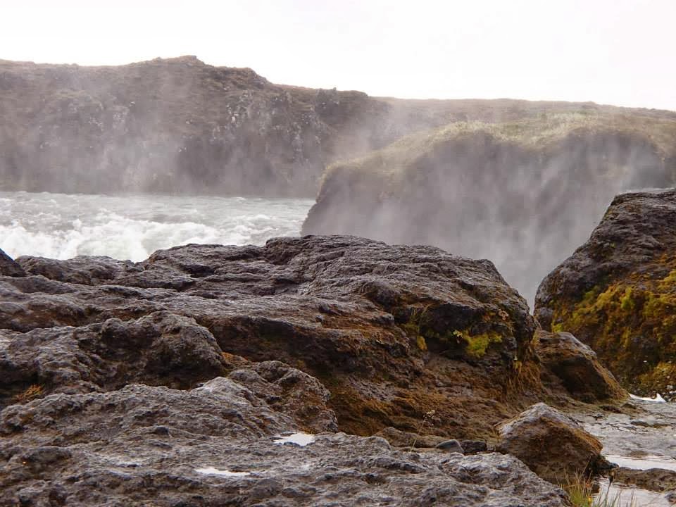
After a late start from Mývatn, visited Goðafoss (waterfall of the Gods) and a traditional turf farm, Laufás – before reaching Akureyri, Iceland’s 2nd largest city (approx 18,000 population). Highlight: Arctic Char at Rub 23.
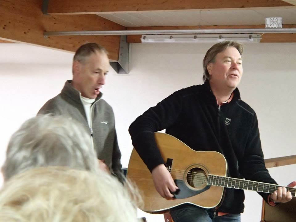
Woke early Tuesday, destination: the Icelandic horses of Skagafjörður. Watched a horse demonstration & listened to Icelandic folk songs at Varmilækur, a horse farm nestled beneath multiple volcanic mountains in Iceland’s far North.
Skagafjörður is the only county in Iceland where horses outnumber people.
After a day filled with music, trip favourite was the Riding Song sung by our guide Ingi Gunnar Jóhannsson, a former Iceland Eurovision finalist (2nd place – 1988).
WATCH: Ridum Ridum (Icelandic riding song)
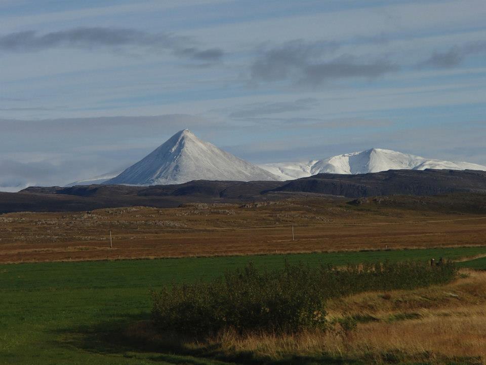
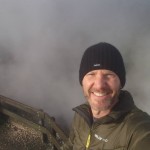
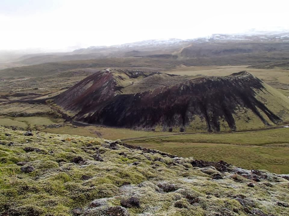
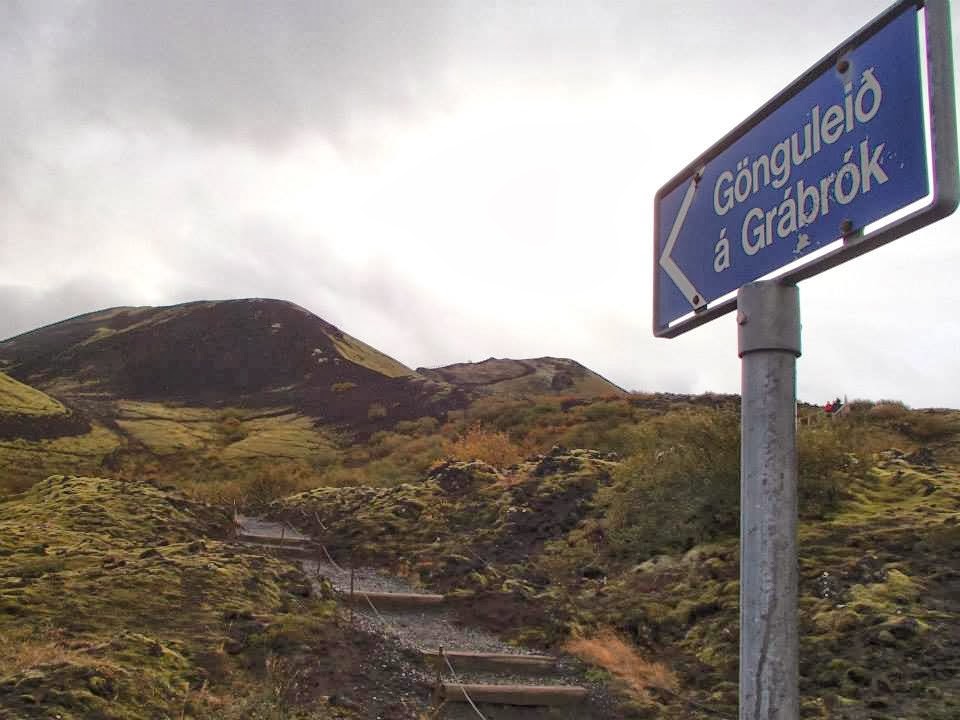
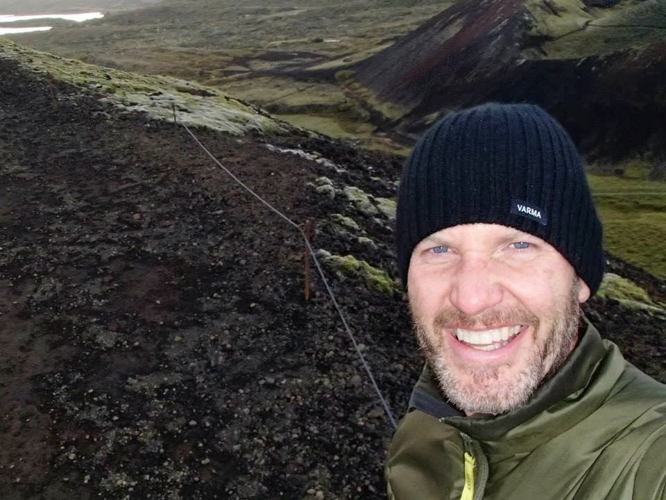
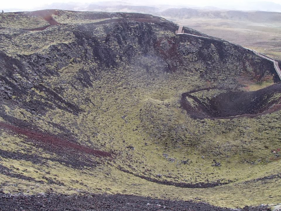
Finished the day with a quick hike UP Grábrók, a 3400 year old volcanic crater.
Actually, didn’t just hike UP but ran the loop twice 🙂 AMAZING view, AMAZING day!
-
- Godafoss (waterfall of the Gods)
-
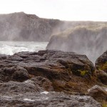
- light rain, volcanic rock & moss = slick footing
-
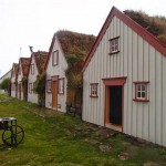
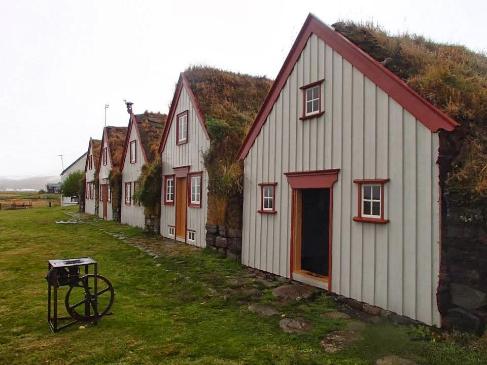
- Laufas turf farm (circa 1877)
-
- Akureyri, Iceland’s 2nd largest city
-

- Arctic Char at Rub 23 – TASTY!
-
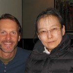
- sweet Keiko from Japan
-

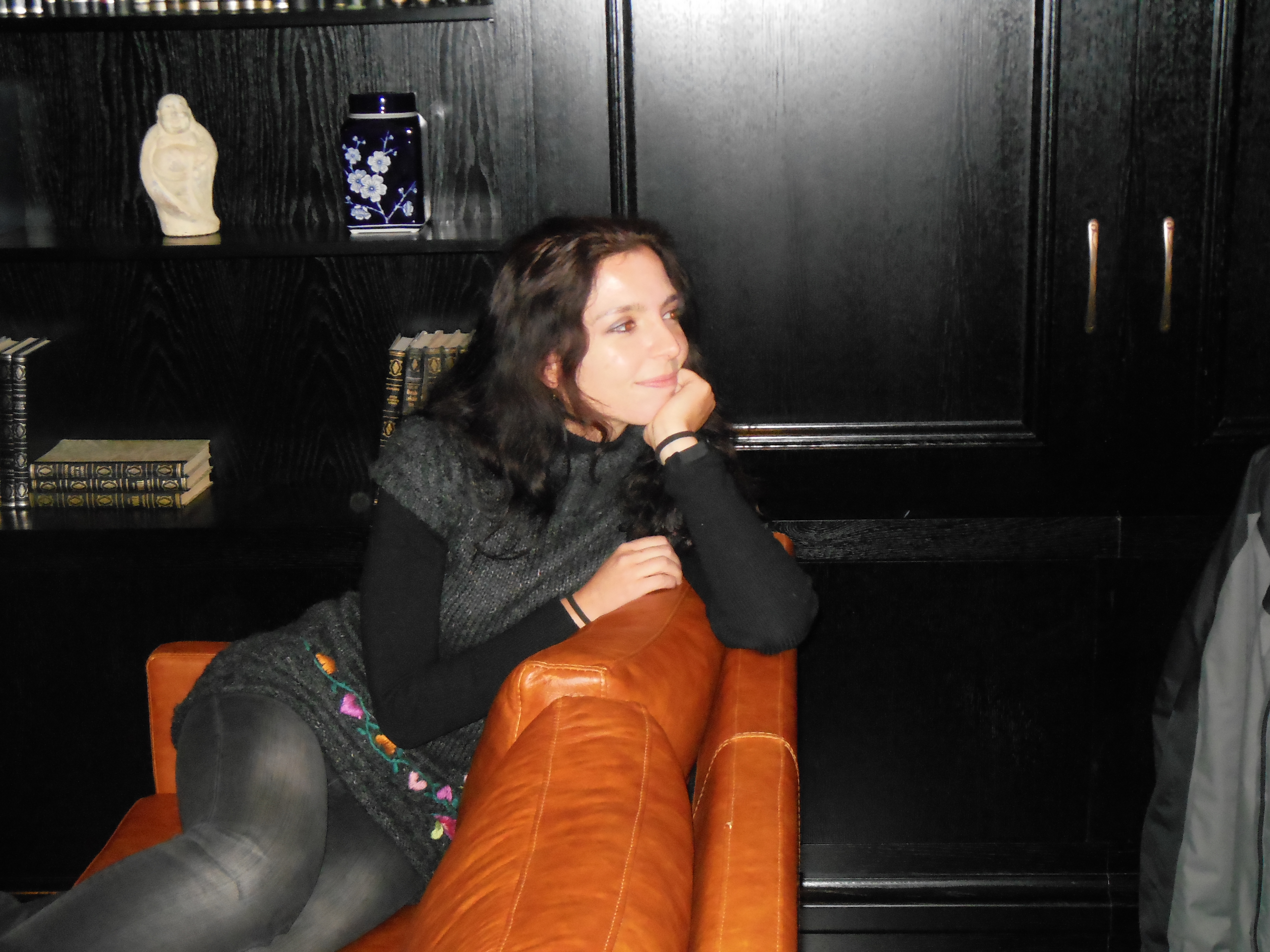
- Julia from Portugal
-
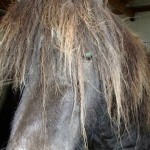
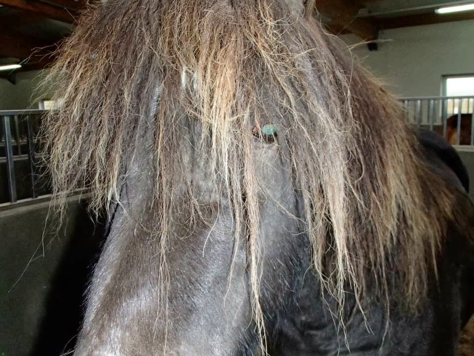
- Icelandic Viking Horse at Varmilaekur (www.varmilaekur.is)
-
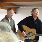
- Icelandic folk music, LOVED it! (Ingi Gunnar Johannsson & Bjorn Sveinsson)
-
- biggest smile of the day
-
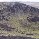
- Grabrokarhraun lava estimated 3400 years old
-
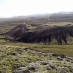
- one of 3 volcano craters
-
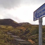
- Grabrok volcano hike

-

- first to the top – BIG smiles!
-
- ran the crater trail twice – FANTASTIC day!
-
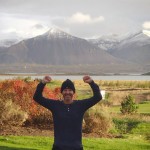
- celebrating sunshine – first rays in 3 days
My flight to Reykjavik was weather-delayed Tuesday night because of heavy fog in Iceland. While waiting at DIA, it started to rain. Little did I know, this rain would not end ‘til Friday and create Boulder County’s worst flood since 1976.
Most of the small towns toured in Iceland had limited TV & Internet access. That said, could not have been more surprised to see military helicopters airlifting folks from Boulder County on BBC News. How could this be happening? I live in an arid climate which relies on heavy winter snowfall to fill local reservoirs.
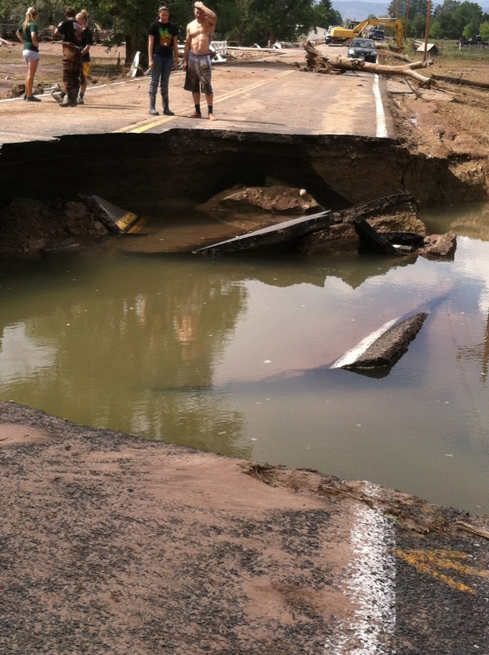
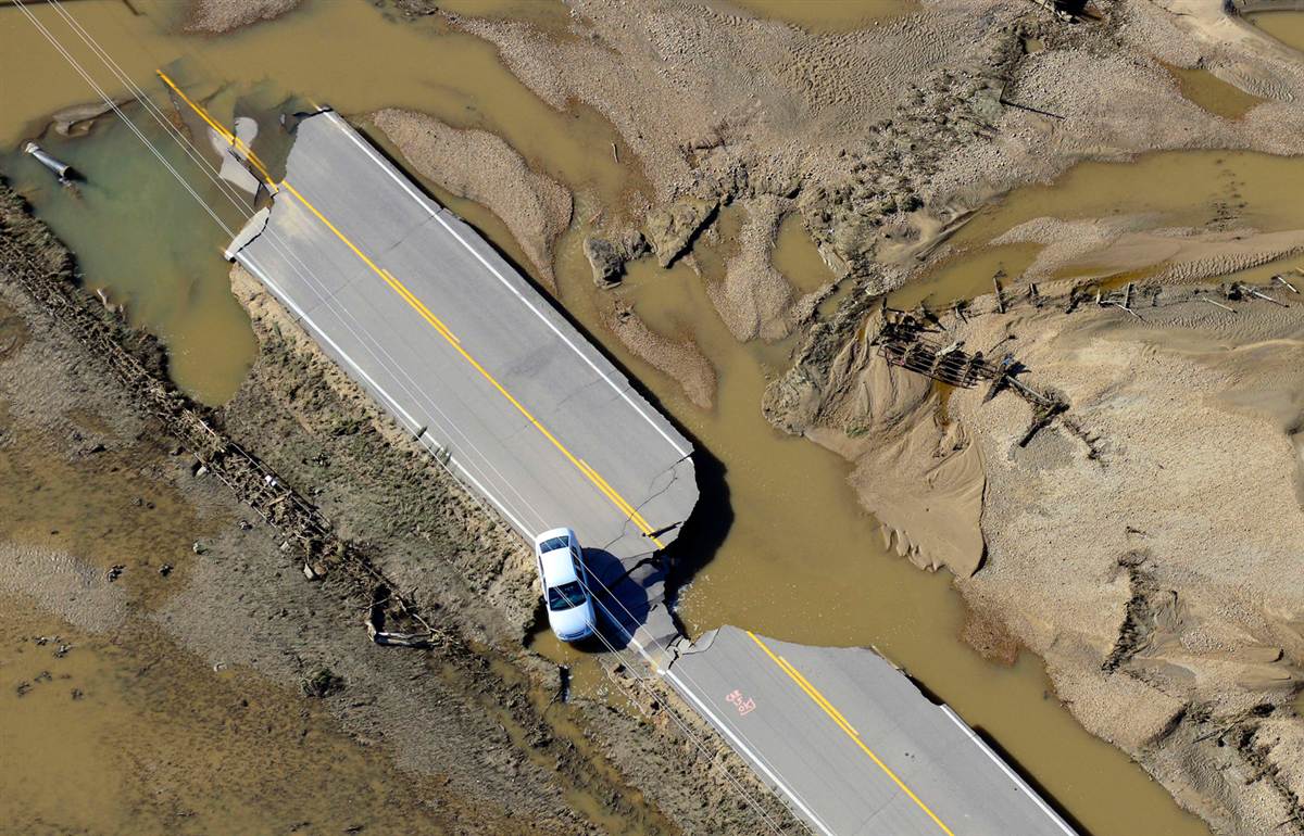
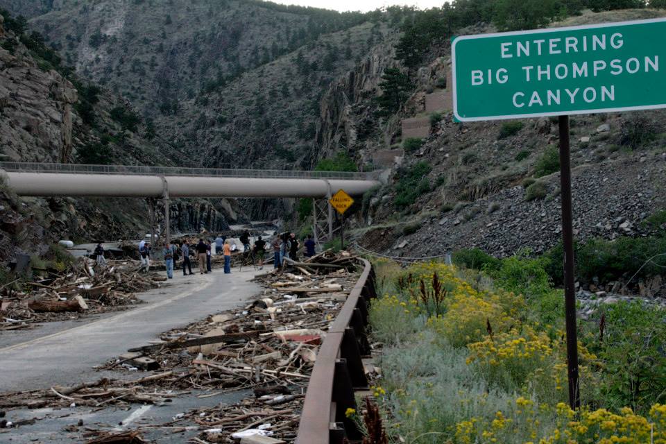
South Boulder was overwhelmed with flood waters causing damages in the tens of millions. Towns such as Jamestown & Lyons are significantly damaged. Both Highways 36 & 34 were washed-out/destroyed, isolating Estes Park & access to Rocky Mountain National Park. I’ve hiked in all of these towns along the Front Range.
Highway & bridge reconstruction will last 8 months to 2 years. Trails in Boulder County are closed & come with a Warning — $1,000 fine and/or 90 days in jail if rescue crews are diverted from flood efforts to rescue hikers. Additionally, our governor has hired a Chief Recovery Officer from the private sector to oversee rebuilding efforts – principally, creating temporary road & bridge access by December 1st when winter weather sets in.
Luckily my home suffered zero damage. Many thanks to friends & family who reached out. Much appreciated 🙂
WATCH Boulder Flood 2013 (YouTube video)