After three days of rain, woke Wednesday to SUNSHINE.
Skipped my morning run, opting for an afternoon harbor trek in nearby Oamaru. Easy coastal drive on New Zealand’s Highway 1. Cool morning temps. Rural, flat. No traffic, landscape void of the Island’s Southern Alps.
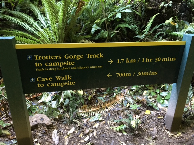
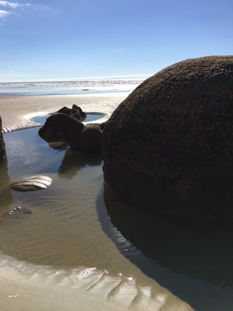
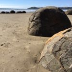
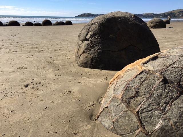
right, Moeraki Boulders. left, Trotters Gorge. 1030am – how ‘bout both?
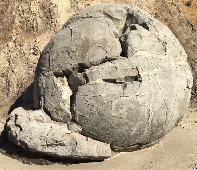
One hour rainforest jaunt toward the Gorge. After multiple days in ‘civilization’, GREAT to be outside again & hiking. Sounds of cicada, giant ferns wet with moisture – LOVE LOVED this morning. Cave explored, then rental car’d another 2 miles north to the Boulders. $5 in an ‘honest’ jar, then descended on Koekohe Beach using stairs created by the gift shop.
The Moeraki Boulders are unusually large and spherical boulders lying along a stretch of Koekohe Beach on the wave-cut Otago coast of New Zealand between Moeraki and Hampden. They occur scattered either as isolated or clusters of boulders within a stretch of beach where they have been protected in a scientific reserve.
Local Māori legends explained the boulders as the remains of eel baskets, calabashes, and kumara washed ashore from the wreck of Arai-te-uru, a large sailing canoe.
Wonder of nature. Like giant fossilized sea turtle eggs, pushed up/eroded from the sand. Precisely spherical, randomly dropped/isolated on NZ’s Pacific shore. Walked an hour up & down the beach – enjoying the ocean breeze, soaking up Vitamin D.
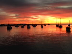
whatta sunrise – WOW!
Lunch & an ice cream bar, then road-warrior’d 45 minutes further to Oamaru.
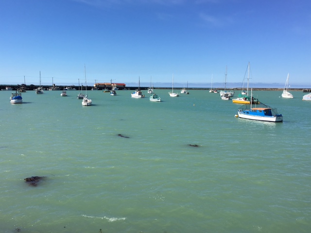
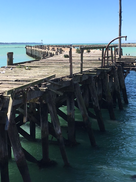
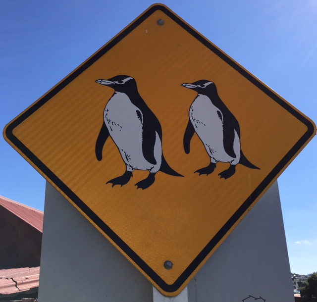
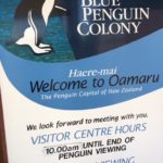
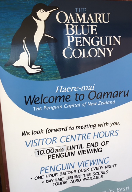
Hotel check-in, harbour-walked past old rotting bridges covered with sea birds – to tonite’s adventure destination: Oamaru’s Blue Penguin Colony. Purchased our VIP tickets (worth every dime) – laced up/got my afternoon run on.
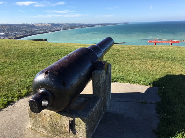
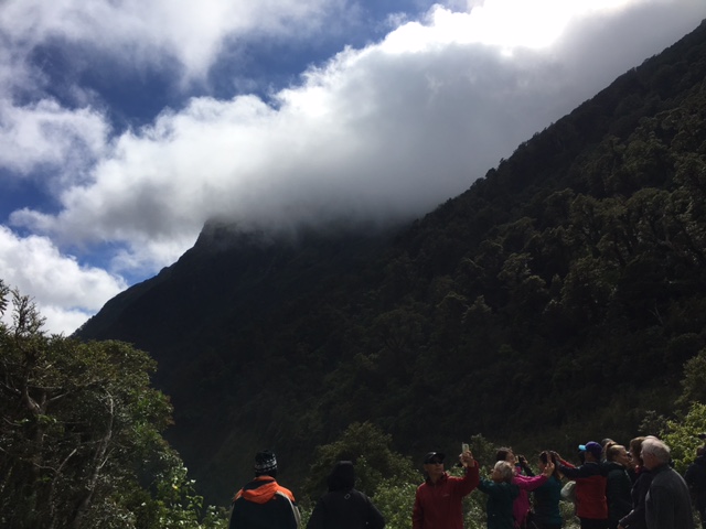
Penguin Crossing sign (don’t see THAT every day), then switchback’d UP, UP, UP. Climbed Cape Wanbrow Reserve, trail-ran high above Oamaru – WOW views of the mighty Pacific below. Last long run before Saturday’s Kirikiriroa Marathon.
Dusk. Nature guides kept eyes on the ocean while ‘paying customers’ quietly huddled in a small outdoor amphitheatre (unfortunately, no pics allowed). Pods of 6, 10, 15 small penguins banded together, beached, then waddled uphill past our premium seats. Man-made boxes constructed on shore would act as the birds’ evening home – returning back to the ocean early pre-dawn. WOW WOW WOW!
South Island, super sad to say goodbye. Glaciers, waterfalls, rainforest. Jetboated the Waimakariri, cruised Doubtful Sound, climbed to the top of Larnach Castle & witnessed magic – the world’s smallest penguins returning home after day-fishing the Pacific.
Next up: Hamilton, on New Zealand’s tropical North.
-

- hiking & caving
-
- wonder of nature
-
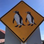
- don’t see THIS every day 🙂
-
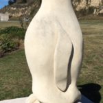
- Penguin Capital of New Zealand
-
- pods of 6, 10, 15 small penguins banded together, beached, then waddled uphill past our premium seats
-
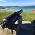
- Cape Wanbrow Reserve
-
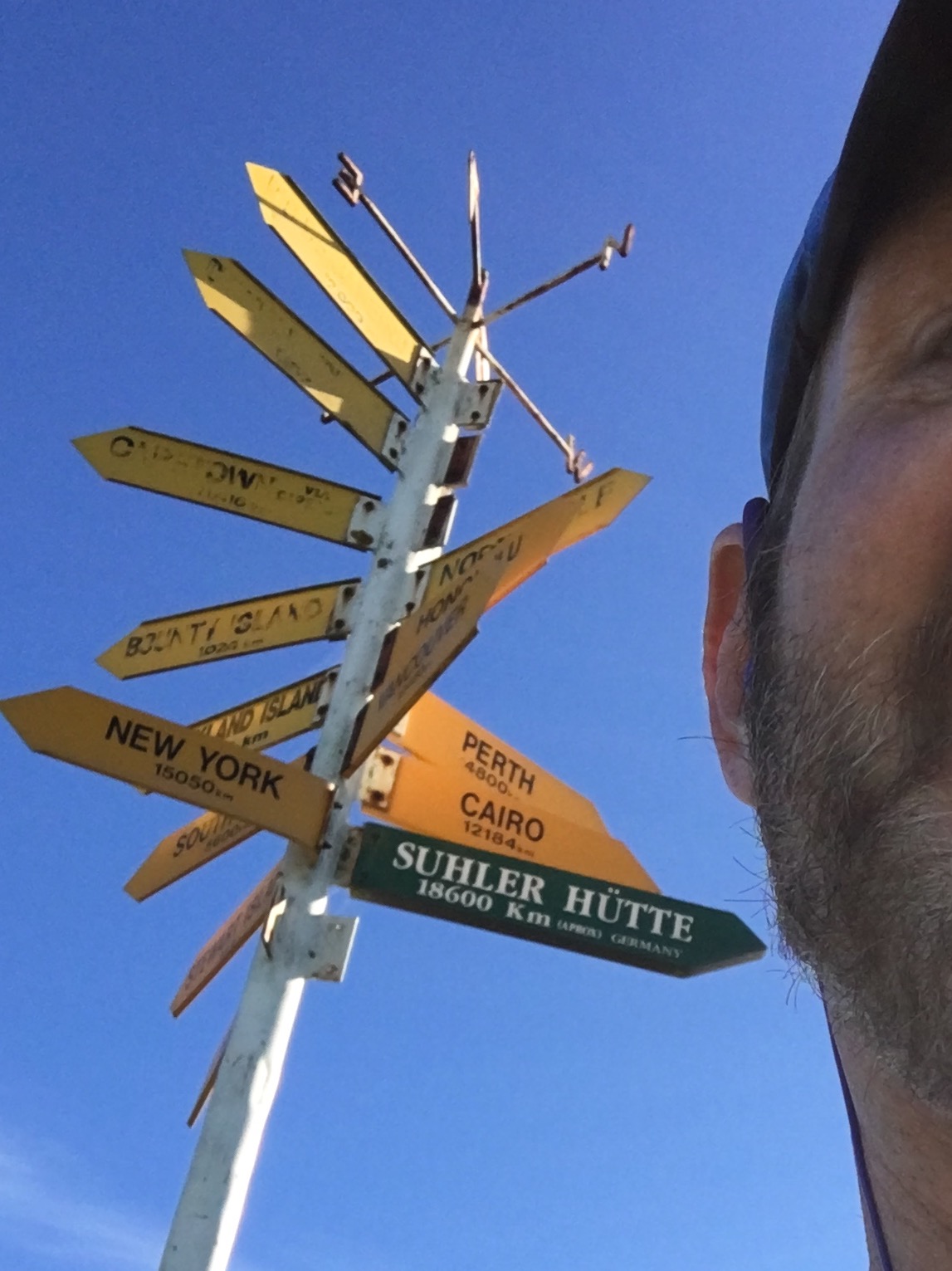
- Suhler Hütte?
Koekohe Beach, NZ
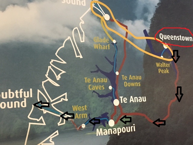
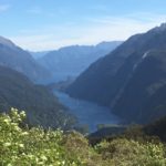
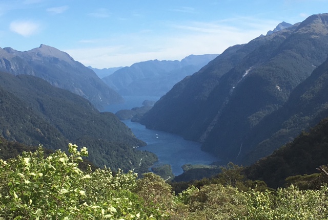
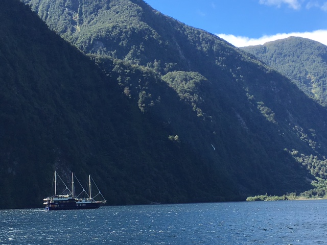
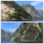
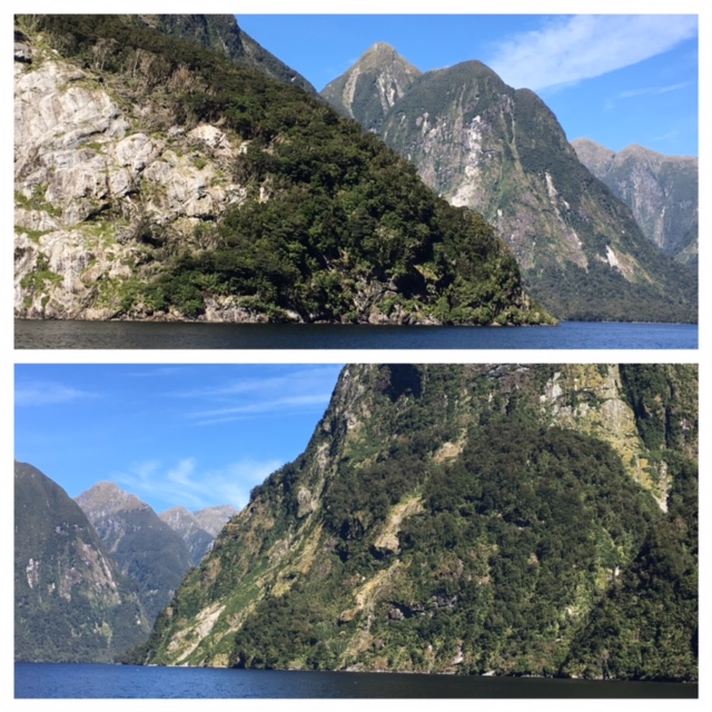
Queenstown ⇨Lake Manapouri ⇨Doubtful Sound
2 buses, 2 boats. 7:15am pickup, 8pm return. FULL day – but first, a 3-mile pitch-black run along Lake Wakatipu thru Queenstown Gardens. Would purchase a flashlight later in the day – last time getting spooked in the early a.m. 🙂
 2 hour 45 minutes west over the Southern Alps to Lake Manapouri. Box lunch purchase, then ferried ‘cross glacier-fed water, where a 2nd motor coach awaited. Travelled on New Zealand’s most expensive road over Wilmot Pass, stopping twice to walkabout/experience the dense rainforest of Fiordland National Park. Clouds parted, sun appeared – snapped several shots of Deep Cove, our catamaran entrance on West Arm.
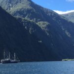
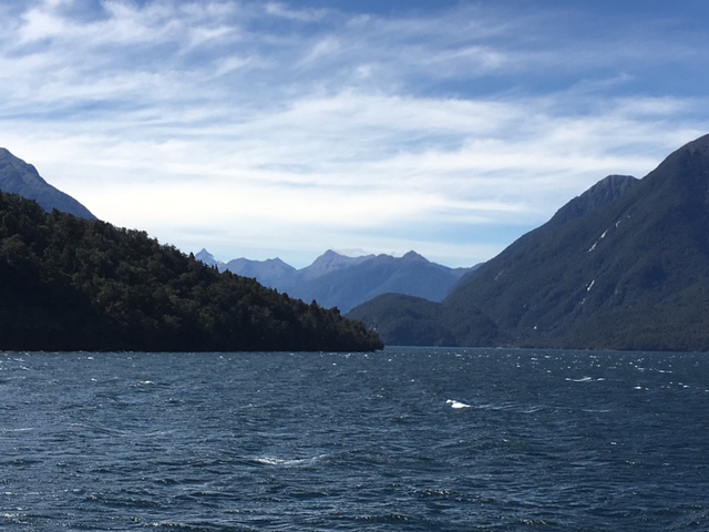
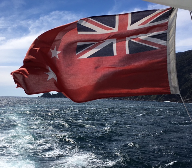
3 hour cruise thru pristine water, surrounded by lush volcanic mountains. If you’re limited on funds, this is the one place to splurge. Just WOW! Gotta/hafta/must [see] Doubtful Sound (or Milford Sound) on NZ’s Tasman Sea.
Doubtful Sound was named ‘Doubtful Harbour’ in 1770 by Captain Cook, who did not enter the inlet as he was uncertain whether it was navigable under sail. It was later renamed Doubtful Sound by whalers and sealers, ‘though it is not technically a sound but a fiord.
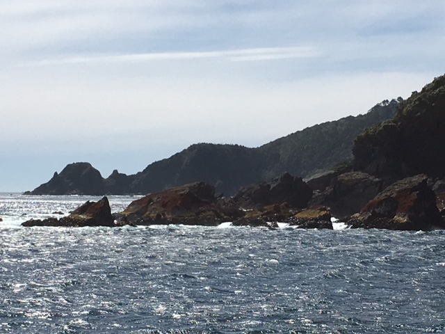
Beautiful sunshiny day. Deep Cove to Crooked Arm, Crooked Arm to First Arm, First Arm past the Shelter Islands.
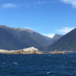
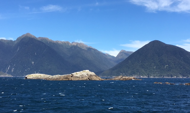
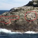
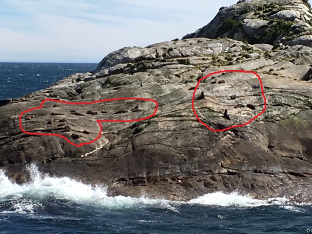
Fur seals sunbathed on the tiny boulder-faced islands, last land before entering the turbulent Tasman Sea. Boat lurched in ocean waves – up, back, side-to-side – before turning back, returning to the Sound.
Extra time available so…explored First Arm’s inlet waters. Stopped our Patea Explorer, cut the engines entirely. Ship staff asked for 2 minutes of silence, [would be] the day’s most memorable takeaway. Island waterfalls splashed, saltwater lapped against our drifting vessel. Silence. Emotional, visceral & exotic.
Easy half-day adventure tomorrow – panning for gold…in New Zealand.
-
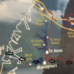
- Queenstown ⇨Lake Manapouri ⇨Doubtful Sound
-
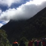
- Fiordland National Park
-
- Deep Cove
-
- Crooked Arm
-
- Shelter Islands
-
- SEALS!
-
- the Tasman Sea
-
- First Arm
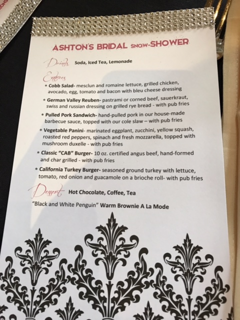
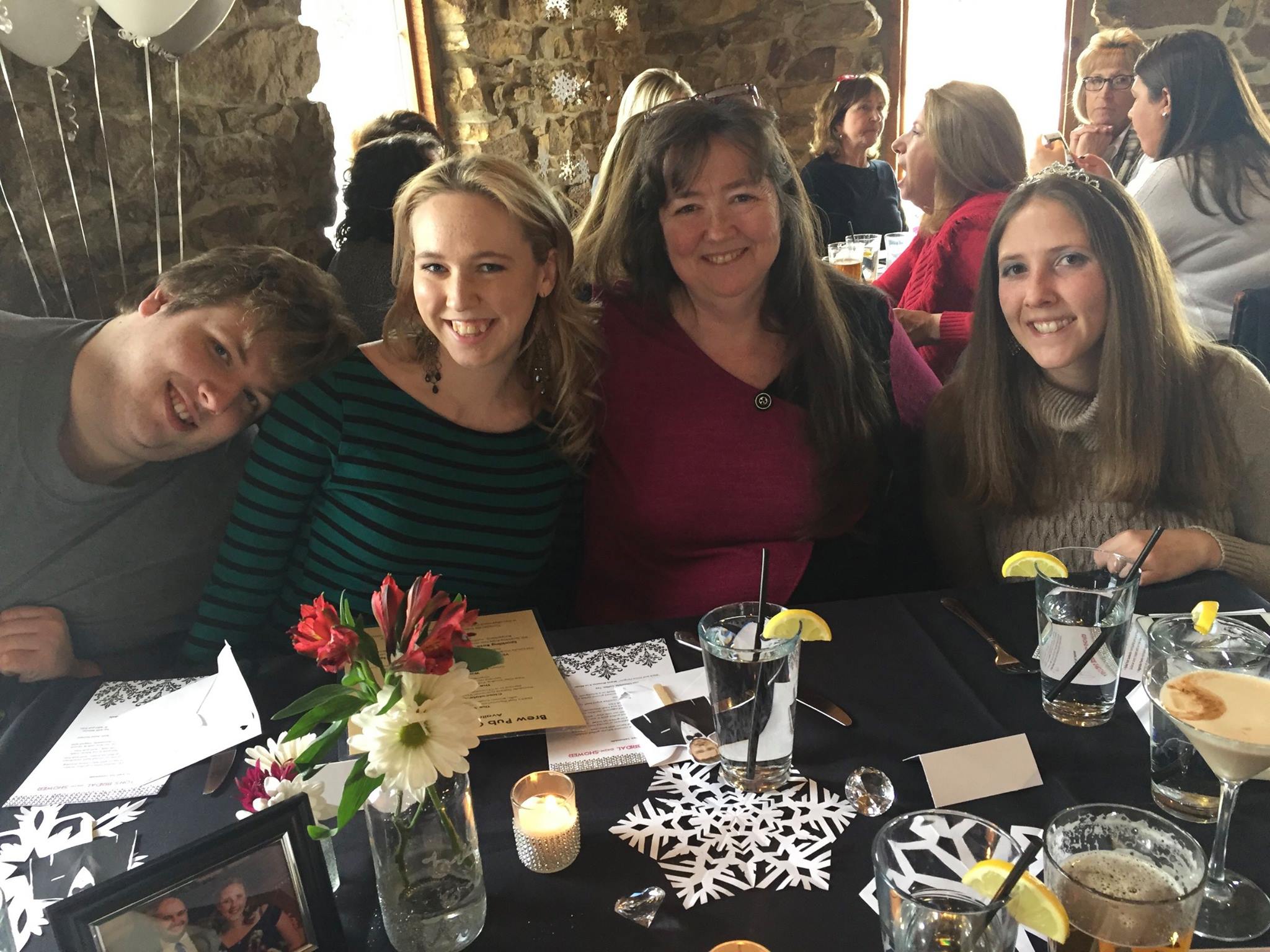
…meanwhile, far far away in New Jersey — Ash’s bridal shower; next up: a Colorado wedding
-

- Maid-of-Honor


-

- Mom
-

- Mom-in-law

 Driving 4 hours post-marathon can be rough (body gets mighty stiff), scheduling a massage at 6pm – pretty sweet idea 🙂 Passed entrances to both Canyonlands & Arches National Park(s). Giddy feeling, LOVE LOVE the massive towering rock. Hotel check-in, Spa Moab on Main Street, Thai dinner. Early to bed, early to rise.
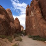
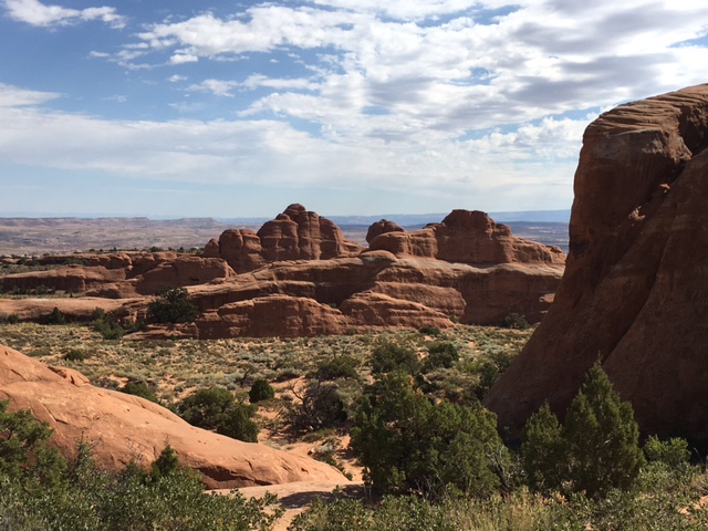
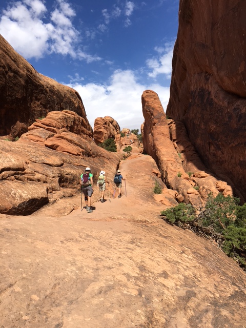
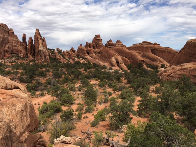
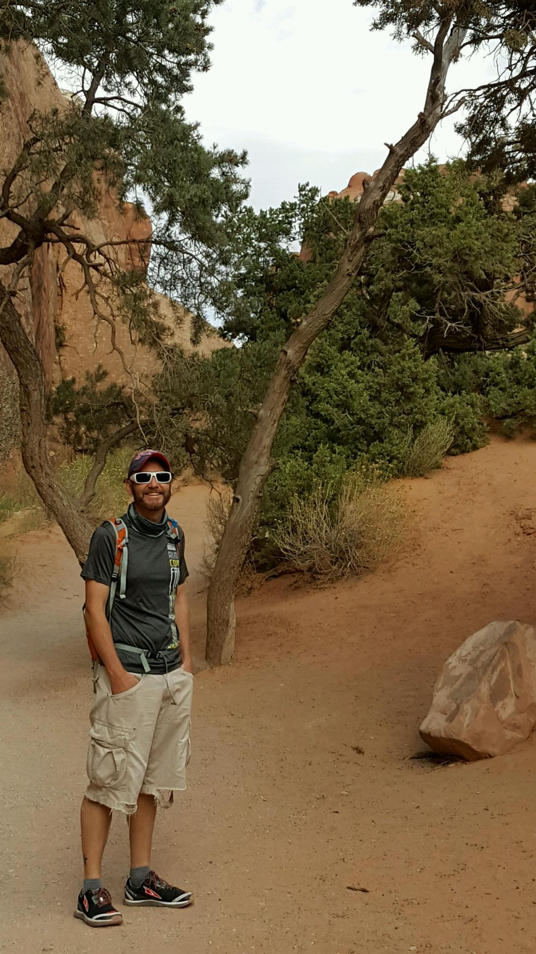
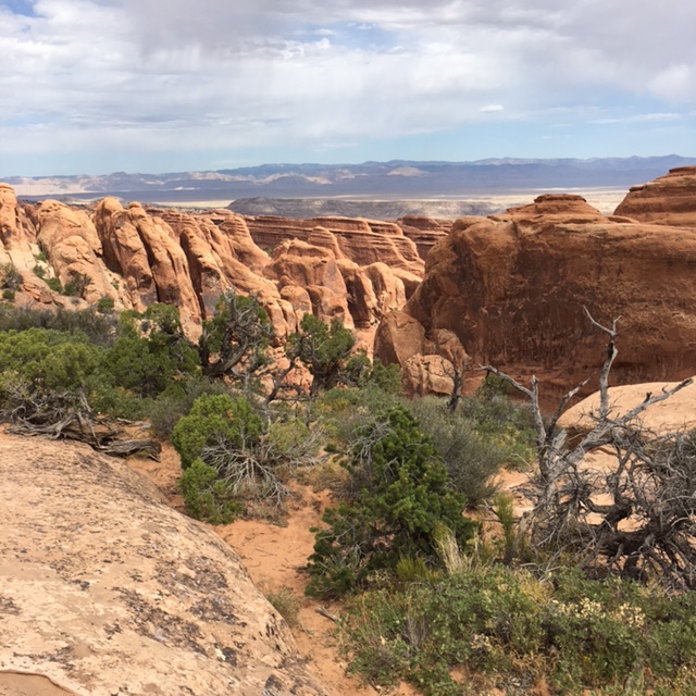
Not early enough to catch sunrise, but still able to secure parking at Devils Garden Trailhead, far edge of Arches. Backpack heavy with water. Perfect post-marathon therapy: 4.2 mile desert hike, up & over boulders, dense sand, landscaped by tall canyon walls. Panorama more reminiscent of New Mexico than neighboring Colorado.
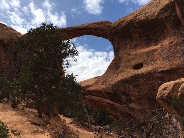
Under a mile to Landscape Arch, longest of the Park’s natural sandstone arches. Photo stop, long drag on my CamelBak, hike terrain shifted from ‘easy’ to ‘Difficult’. Brochure description: ‘Requires rock scrambling, climbing, and descending steep slopes near drop-offs.’ Marathon Saturday, Rock Scramble Sunday – heck yeah, count me in!
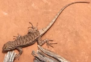
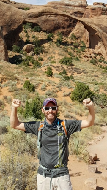
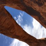
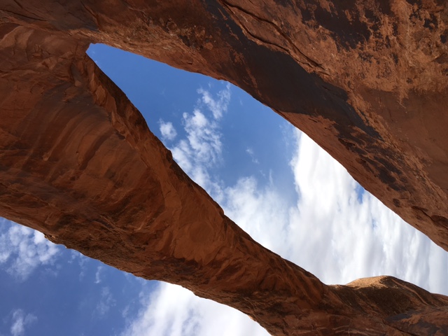
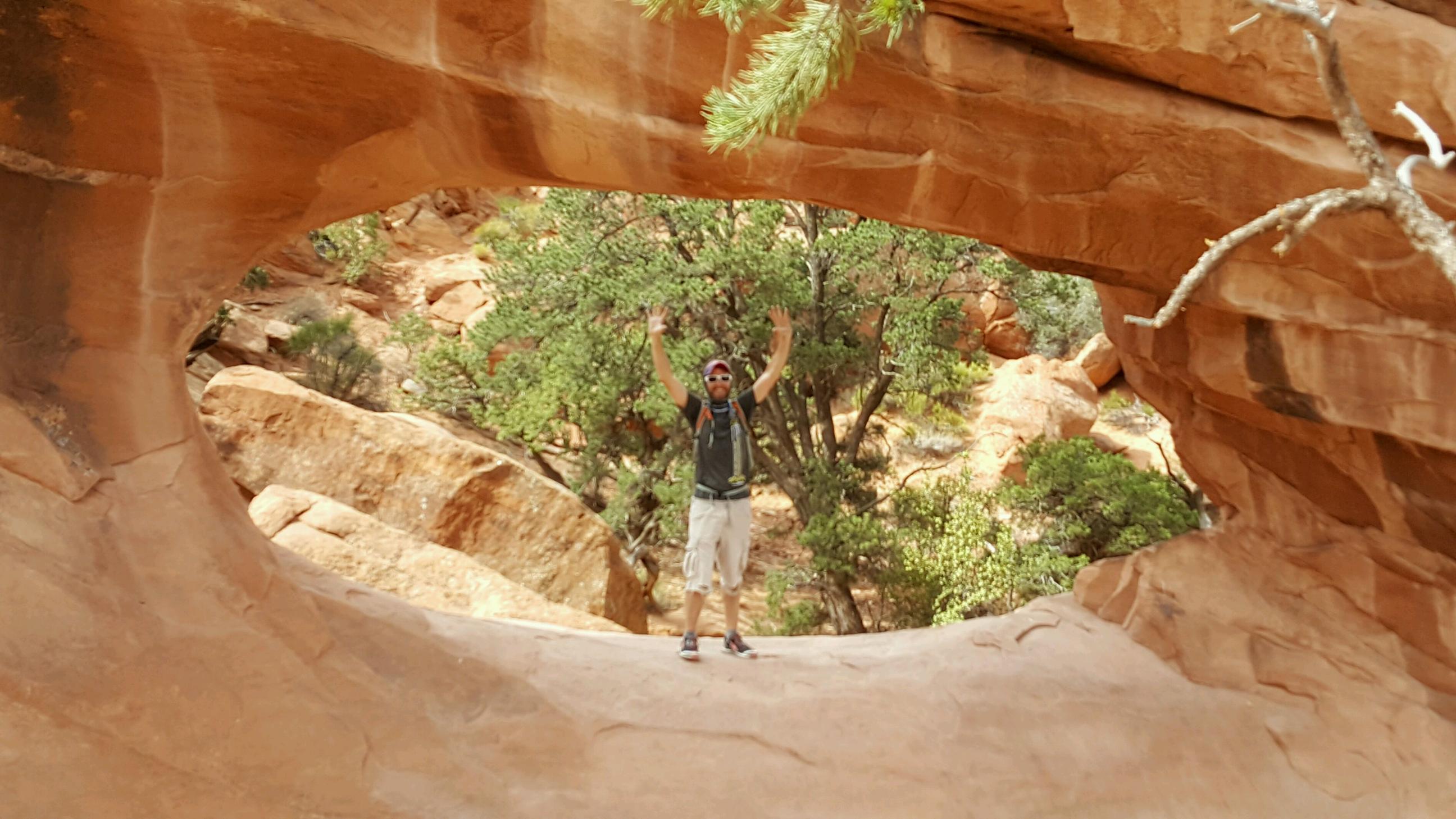
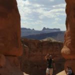
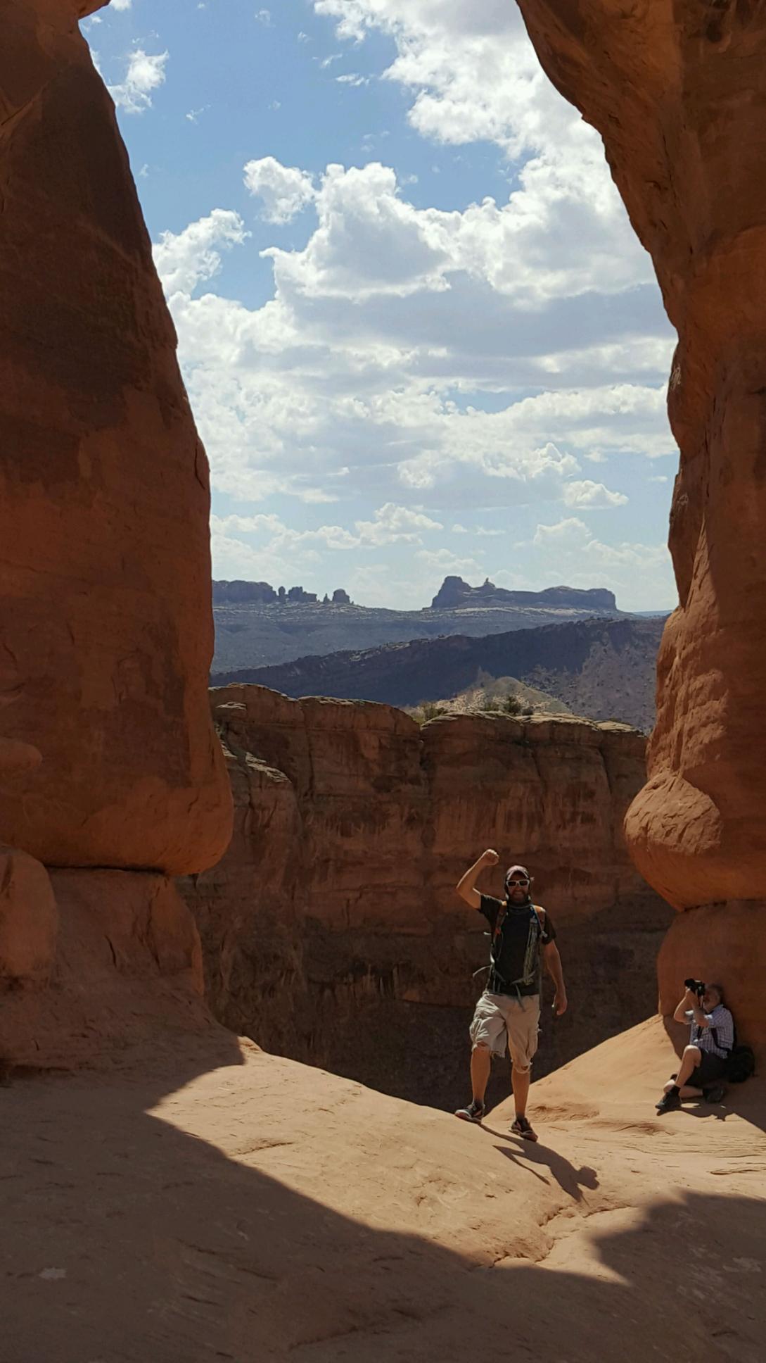
Scaled large sandstone boulders, UP UP UP – uneven arid terrain, but not 14er hike difficult. Cactus, sage, whole lotta SAND & lizards. Amazing vista, landscape opened for miles. Trekked another mile to today’s hike destination: Double O Arch. Brochure description: ‘Sandstone fin, reached via a challenging hike, with a large upper & a smaller lower opening.’ What they didn’t mention? You can actually climb thru the lower arch opening. FAAANNNTASTIC!
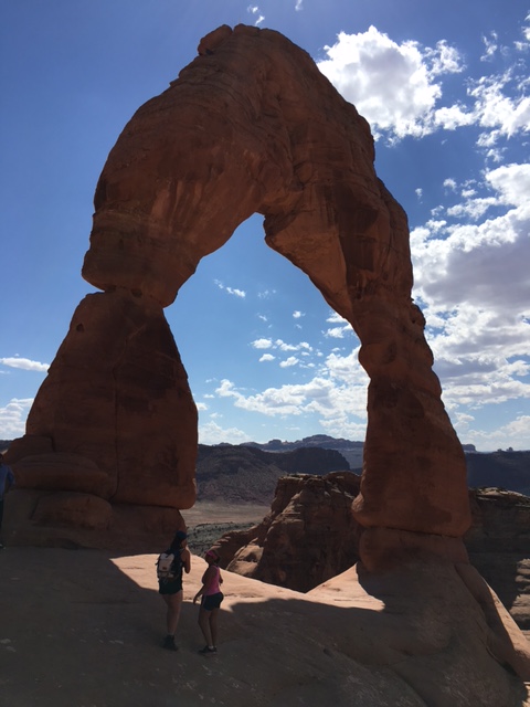
Mercury struck 90; car returned for lunch (ice-chest’d turkey/avocado wraps). 4-5 drive hour from home, work day tomorrow, what to do? Refilled my (CamelBak) bladder & started the 3.2 mile hike to Delicate Arch (Park’s most infamous landmark) 🙂
65-foot-tall freestanding natural arch…most widely recognized landmark in Arches National Park and is depicted on Utah license plates and on a postage stamp commemorating Utah’s centennial anniversary of admission to the Union in 1996. The Olympic torch relay for the 2002 Winter Olympics passed through the arch.
…formed of Entrada Sandstone. The original sandstone fin was gradually worn away by weathering and erosion, leaving the arch. Other arches in the park were formed the same way but, due to placement and less dramatic shape, are not as famous.
UP, down, UP down, UP UP UP – temps now soared above 100. Crazy hot. Body bypassed sweating, [went] straight to secreting salt – human salt caked ’round my eyes, sides of my face. …but that view. Yea, it was worth it.
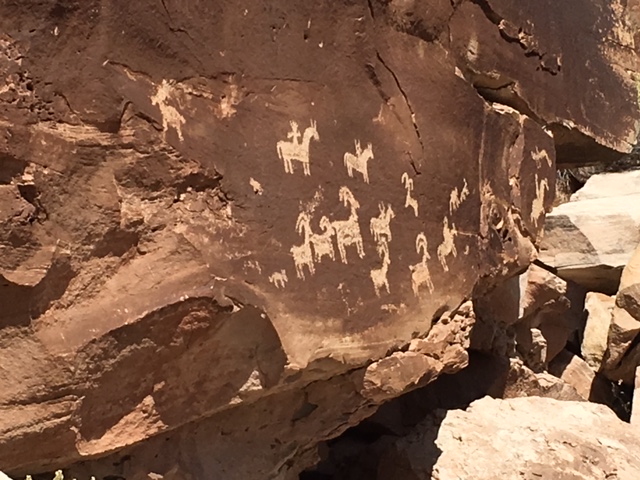
Native American petroglyphs on the hike return. WOW!
my 10 day future: enjoying a marathon mini-break. Next up: R-U-S-S-I-A #noregretlife
-
- desert hike Sunday

-
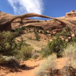
- Landscape Arch

-
- Double O Arch
-
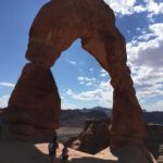
- Delicate Arch
-
- today’s WOW shot!
-
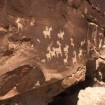
- Native American petroglyphs
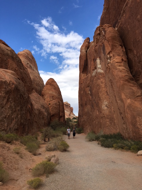
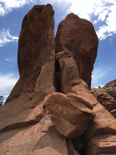
Arches National Park (Moab UT)