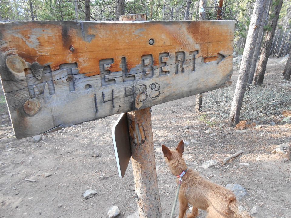
Lofty goal setting this week: Mt Elbert. Colorado’s highest and USA #3 behind Denali in Alaska & California’s Mt. Whitney.
Out of work early, rushed home, packed up Ro — destination Leadville CO, 3 hours away. Weather on the high peaks doesn’t clear for more than half day, even during summer. And if I’m to complete additional 14ers this year, probably have only 6 more weeks left ’til snow. Packed a throw blanket, pillow, and rested snuggy behind my Prius front seat. Set the alarm for 5am — living BIG on a Friday nite. LOL>
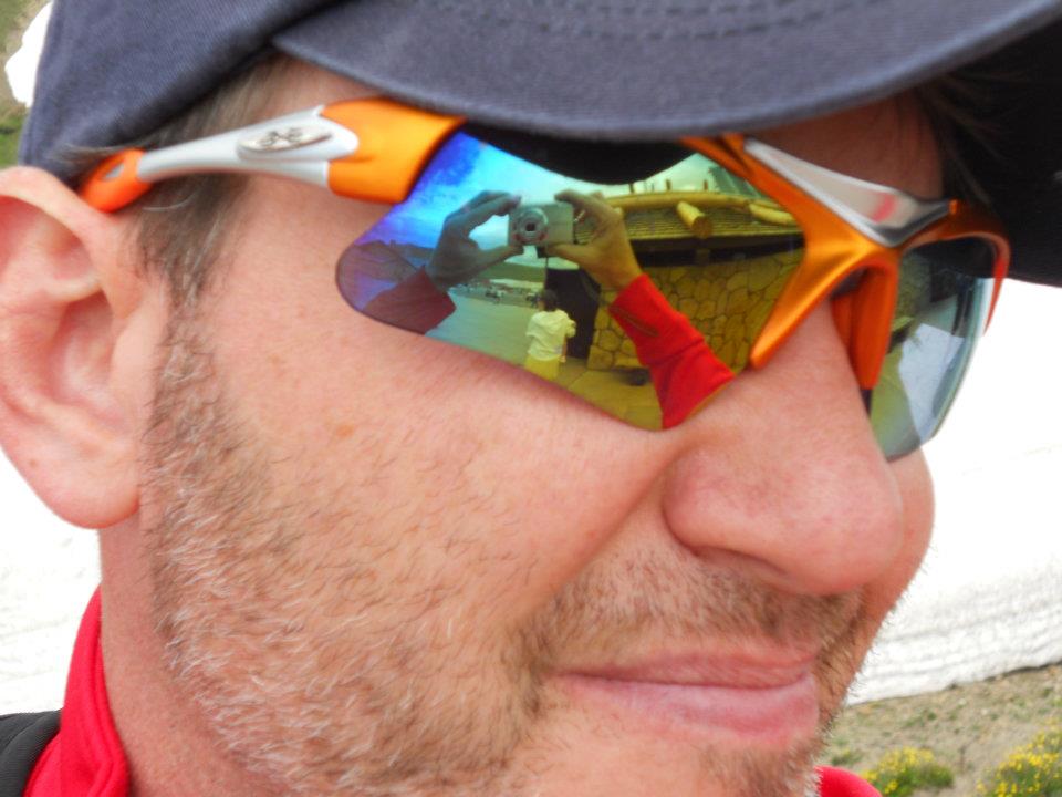
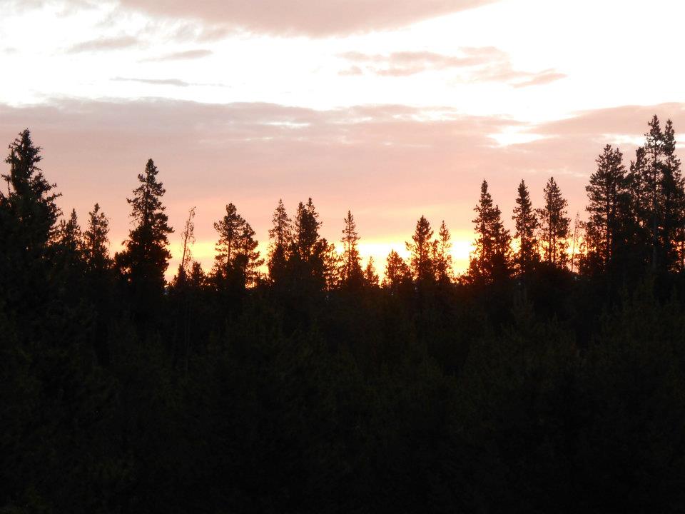
5 miles of dirt down Halfmoon Road to our hike start. Took a shot of Saturday morning’s sunrise noticing I was not ‘lone hiker’ today — parking was already half-full. LOVE, LOVE, LOVE this place! 🙂
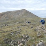
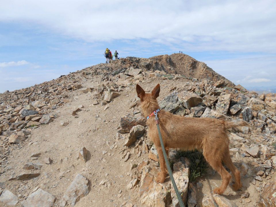
Today’s hike was our most ambitious — not only our highest peak to date but also our longest elevation trek: 4700 feet UP. After a mile half hike thru lodgepole pines, we cleared treeline and caught first glimpse of the ‘false’ summit — a well-known ‘lesser’ peak, elevation 13,900. Stopped every hour for water and a quick meal break — friends advised this would better refuel my tank vs. holding out for summit lunches. Goal — happy, healthy, no puke hike day (last 2 weeks have ended with lunch ‘on the trail’).
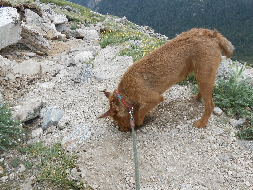
Enjoyed the company and chatter of many hiking groups on today’s trail. Ro met 2 other four-legged friends, both well-behaved & carrying their own water on backpacks. I can only dream; my 8-month old is still all over the trail — after black squirrels, marmots and pikas this day. 600 more feet to go — straight UP of course but adrenaline was gonna make this happen.
SUCCESS! Ro’s 4th 14er summit of 2012 — and they say most dogs are not fit enough for high altitude climbs. My Ro’s a machine!
Summit pics, short video, quick 10 minute nap…then the treacherous trek down. Dog on a rope — tied around my waist to slow the energetic tug down [the mountain]. Drop, drop, drop — a steady light rain begins. All the ingredients/in-the-moment motivation for a fast-paced jog return. Unfortunately, I hampered today’s slog back by emptying my stomach & lost some mojo — 3rd straight week. Argh!
Knowing I couldn’t blink myself home, sent up prayers to my maker and continued steadily down for the next 3 hours — stopping along the way until I was left to nothing but dry heaving. Pretty visual this week, huh? Sorry, they can’t all be ROCKSTAR days. An hour nap in the car, then targeted Georgetown — an hour-half away (mid-point) & much-needed, civilized visitors centre. Water clean-up, quick dog walk, and a 6-inch cold-cut sub for Ro (heated of course), that’s his fav road-trip fast food — lucky dog 🙂
Next morning — showered Ro (just didn’t have the energy nite before), off to church, then paid to get ‘smelly dog’ scent out of the Prius.
Dang, we hiked USA Peak #3 — look at our bad selves. That said, might take a ‘pass’ on next year’s resolution. HA!
-
- early morning drive on (dirt) Halfmoon Road to trailhead

-
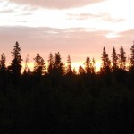
- Saturday morn sunrise
-
- 2 mile hike thru lodgepole pines
-
- ‘false’ summit on the horizon
-
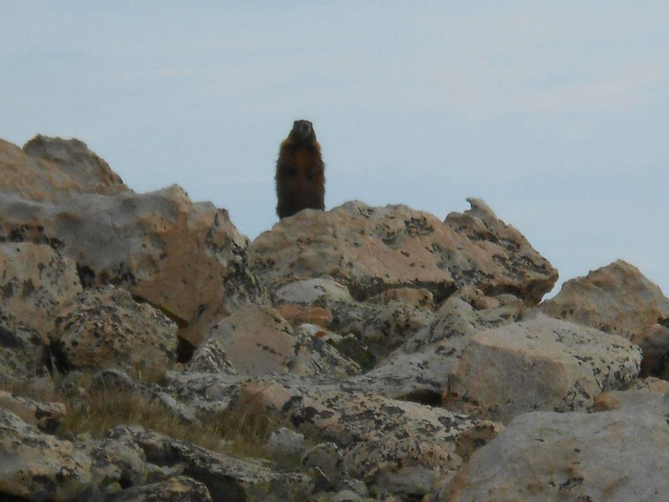
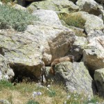
- local marmot watching Saturday parade of hikers
-
- ‘false’ summit break (13,900ft)
-
- 600ft more to top – UP!
-
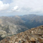
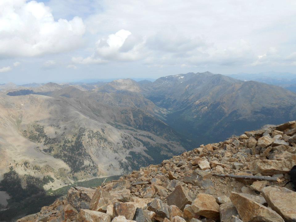
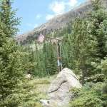
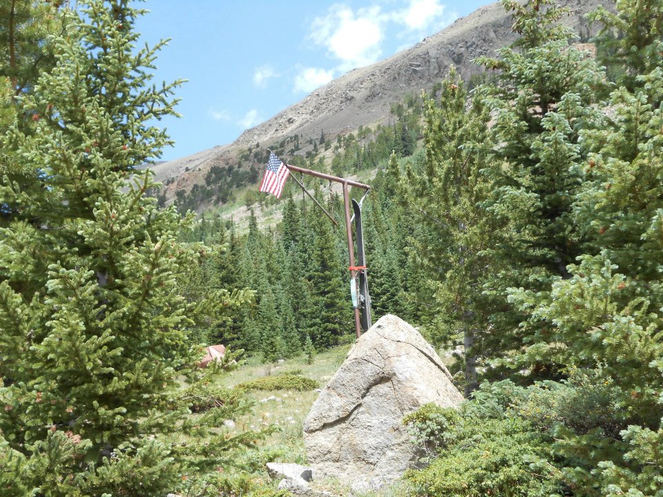
- SUMMIT!

-
- W-O-W!

-
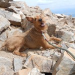
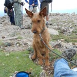
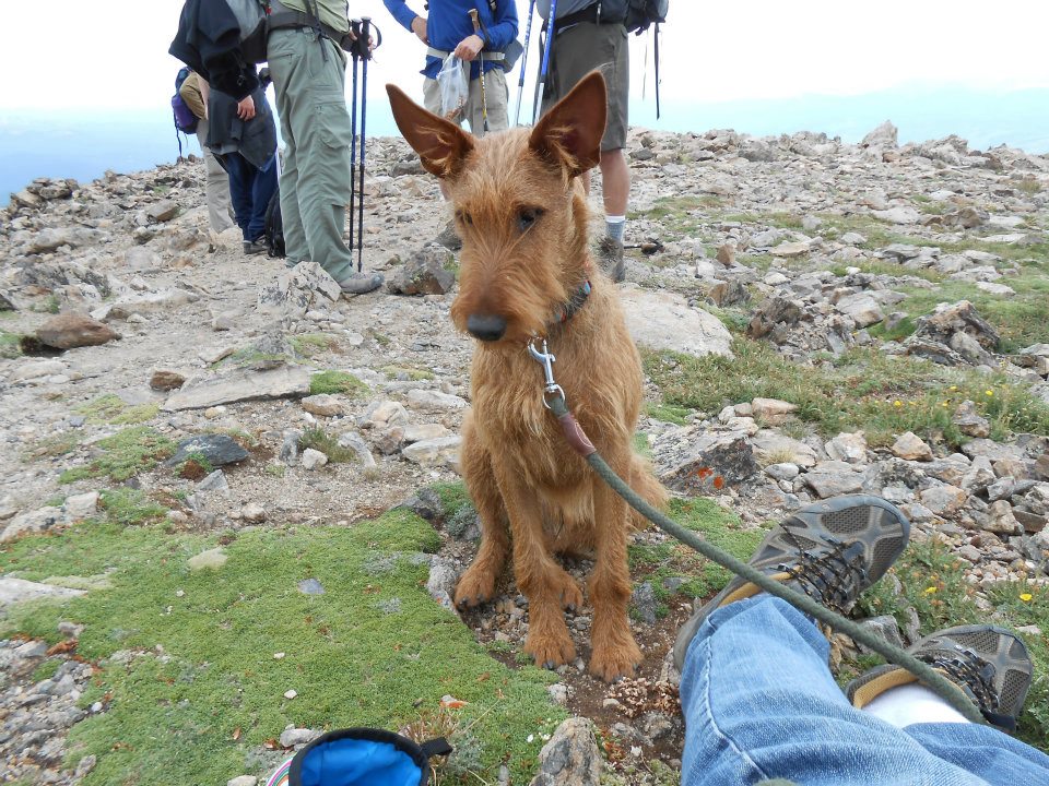
- Ro’s fourth 14er summit – BRING IT!
Still under the weather with (smoke-related) bronchitis and would have stayed locked indoors had it not been for my New Year’s pledge. Soooo very last minute on Sunday morning, I fast-n-furious scoured for a weekly hike. I remember a lady at my local dog park once mentioning Lake Dorothy as challenging – today’s destination Lake Dorothy, elevation 12,061 feet.
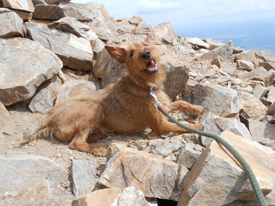
Didn’t arrive in Nederland until 10am on a sunny summer day morning – so the place was packed, no parking to be found. Parked and started the 2 mile hike to ‘4th of July’ road. Lucky for us, a bus stopped and asked if we wanted a ride. Sweet, huh? From the bus drop-off point, sign read 4 miles to ‘4th of July’ trailhead. Ugh ’cause I remember the hike being 7.3 miles roundtrip from the trailhead. Go big or go home — today’s hike was gonna cure me (with a rush of happy endorphins) or kill me.
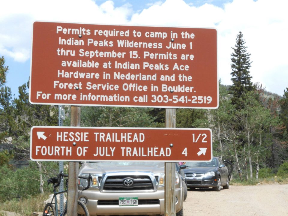
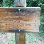
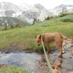
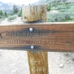
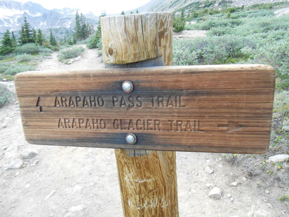
I’m ‘all in’ and focused on banging out these first 4 miles as soon as possible. The road hugged a large rushing river so Ro enjoyed two water/swim breaks – all before we ‘technically’ started today’s trail hike. Unfortunately my notes were kinda sketchy but knew Arapahoe Pass Trail was the initial trail choice to Lake Dorothy once we reached the trailhead.
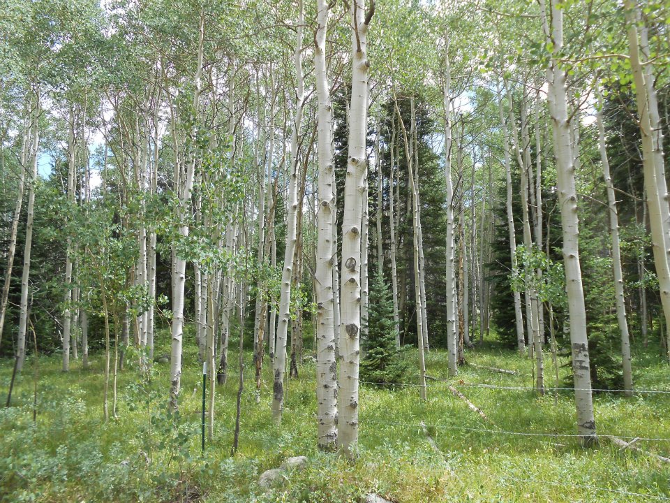
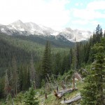
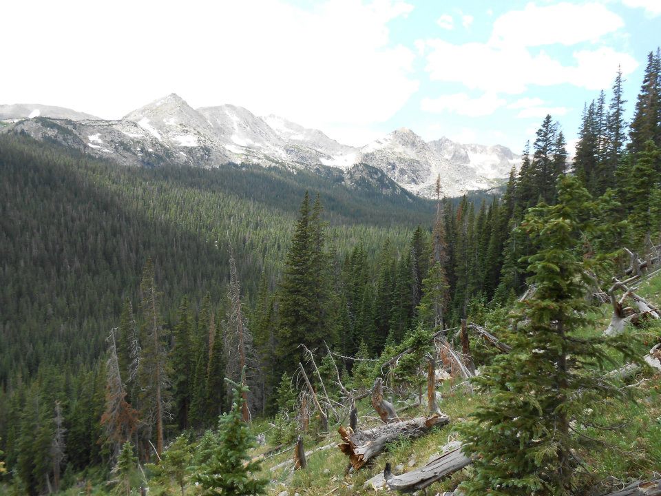
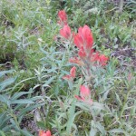
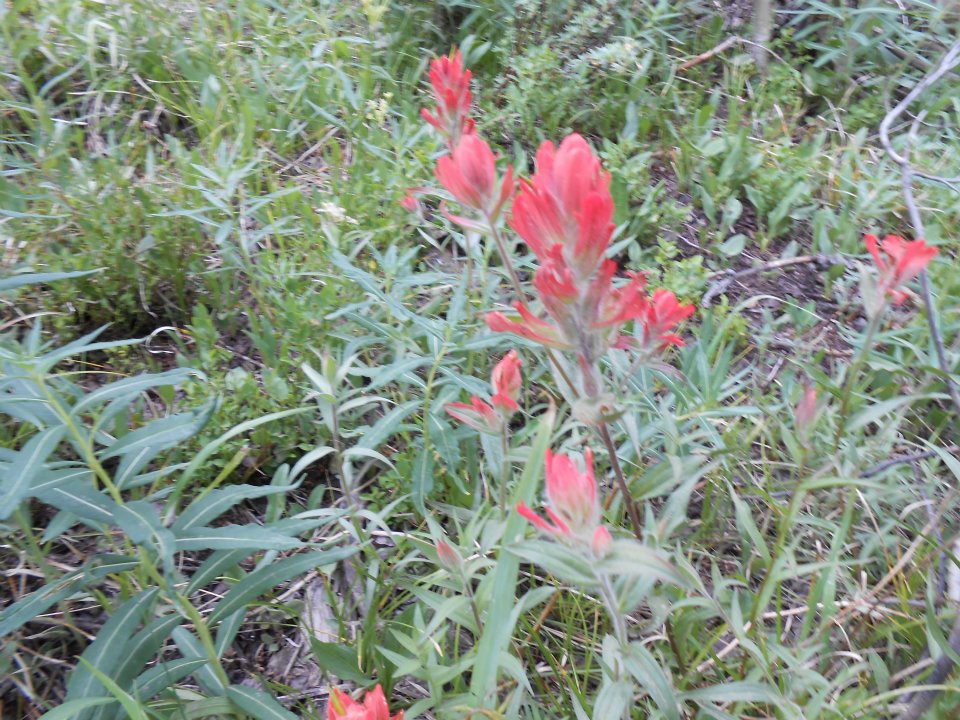
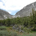
The MOST wildflowers year-to-date of any hike we’ve done. All ROYGBIV rainbow hues represented – fed by mountain streams which created 2 healthy waterfalls both intersecting our hike – beautiful! The climb ascended into a green valley surrounded by glacier-riddled mountains. Colours were all so vivid – like being interposed into a Ravenswood jigsaw puzzle of the Swiss Alps. W-O-W!
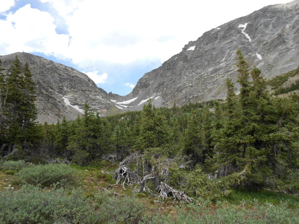
So I’m now 6 miles in after the bus ride and make a HUGE directional mistake – taking Arapahoe Glacier trail at the 2-mile junction. This trail led Ro & I across a tundra marsh and then up a series of switchbacks up the base of Mount Neva.
The trail moderates through a broad krummholz flat (1.65 miles : 11,110′) to the Arapaho Glacier Trail split (2.05 miles : 11,236′), and continues past the historic Fourth of July Mine into open tundra. The trail is well-defined but markedly rugged once above treeline.
A mile and half into this trail we see our first hikers, who confirm we are on the wrong trail. Disappointing. Altitude made my lungs ache for air – bronchitis creating an asthmatic reaction. Time for a lunch break. Two bites of bean burrito and whoof – I empty my stomach like an East Coast tourist. I catch 20 minutes of zzz’s on a large rock and contemplate the meaning of life.
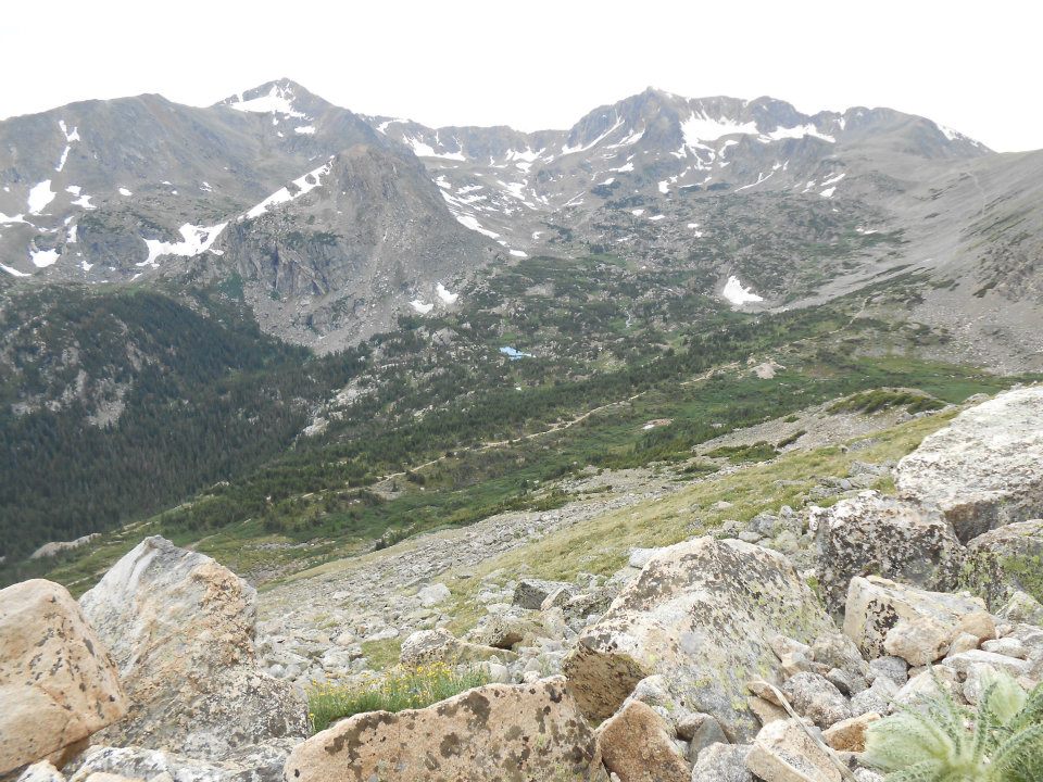
Do I hike back and then another mile and half in the other direction to see Lake Dorothy? OR (after doing the math) do I focus on just getting back: 1.5 miles + 2 miles (to trailhead) + 4 miles (to 4th of July road) + 2 miles (to Nederland)?
I take the losers’ ‘tude this day and head home 🙁 Leaves me with unfinished business for another day – maybe 4th of July week…seems appropriate [this hike] starting from 4th of July trailhead.
-
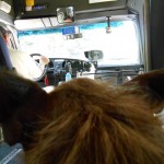
- free bus ride from Nederland
-
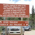
- then a 4-mile walk to trailhead
-
- USA!
-
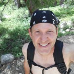
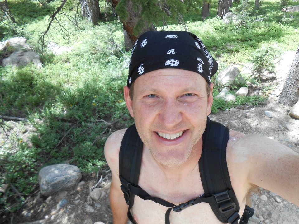
- farmer’s tan
-
- 2 miles to Arapahoe Glacier Trail

-
- July 1st mountain snow
-
- all ROYGBIV (rainbow) hues represented today
-
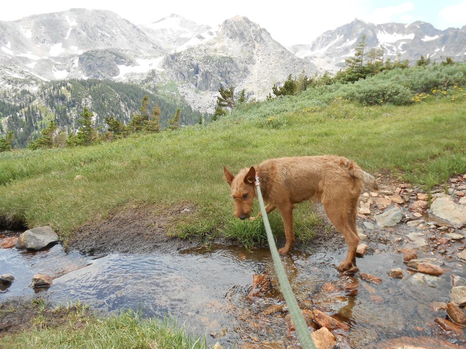
- good day to be Ro – look at that view!
-
- straight past Arapahoe Glacier junction – not, a right on Glacier trail (ugh)
-
- W-O-W moment!
-

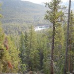
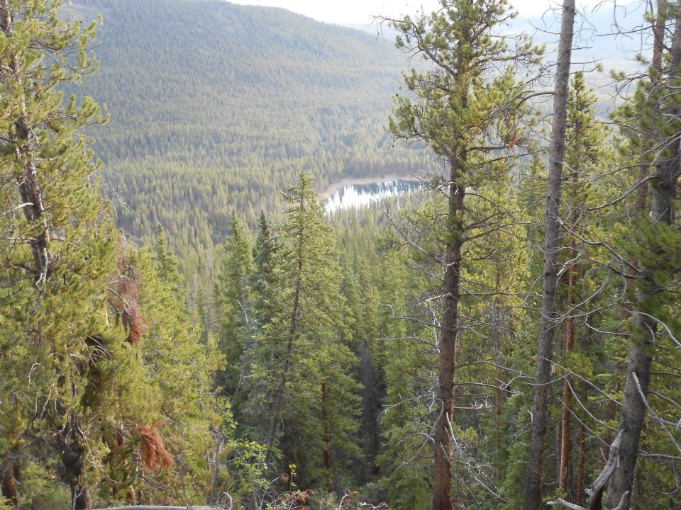
- blue speck is Lake Dorothy (1.5 miles back to junction & another 1.5 miles in opposite direction)
-
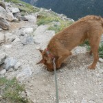
- dig, dig, digging…
-
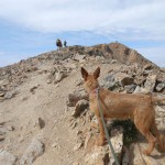
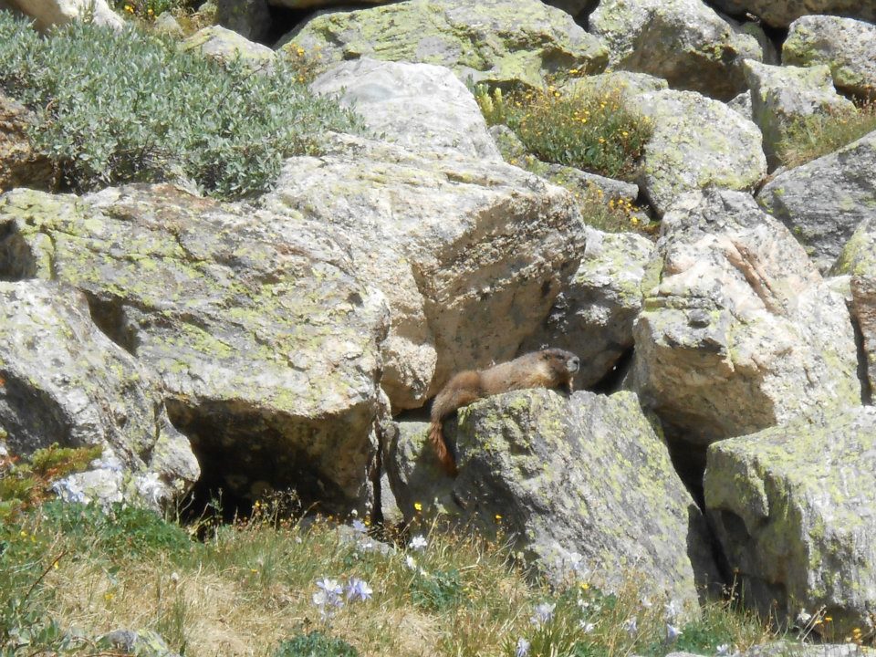
- & the one that got away (marmot)
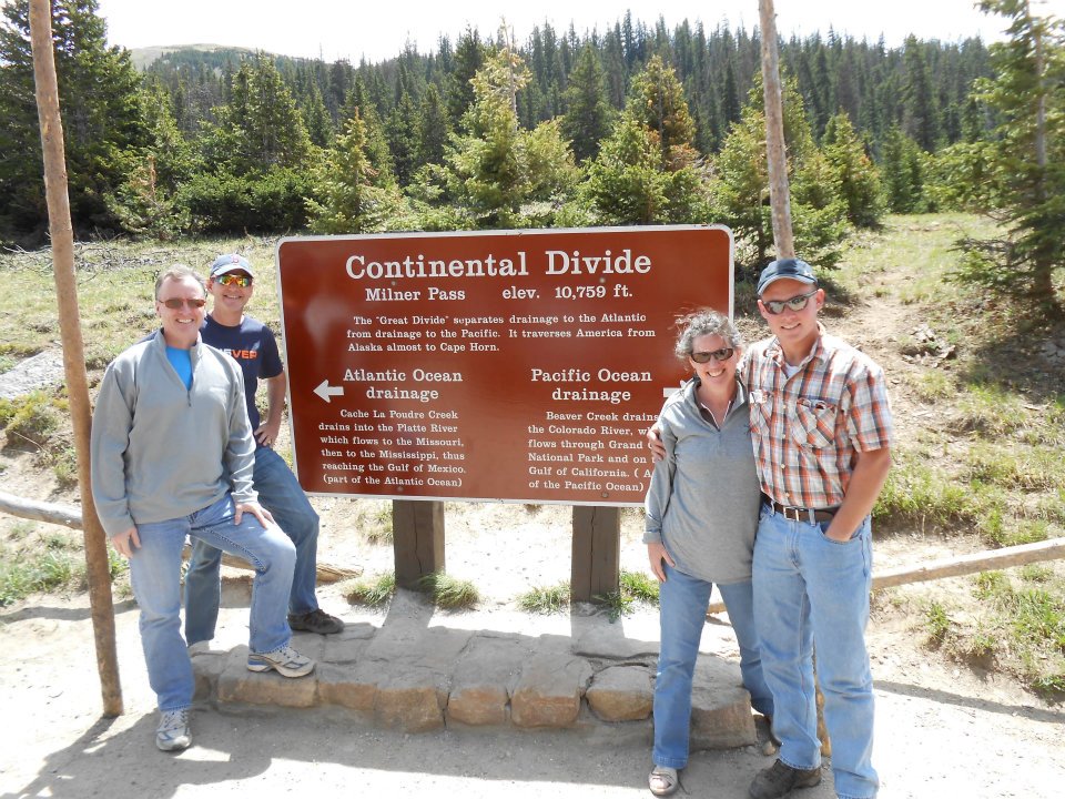
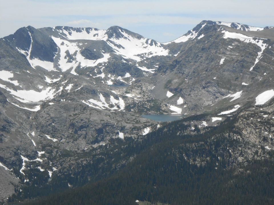
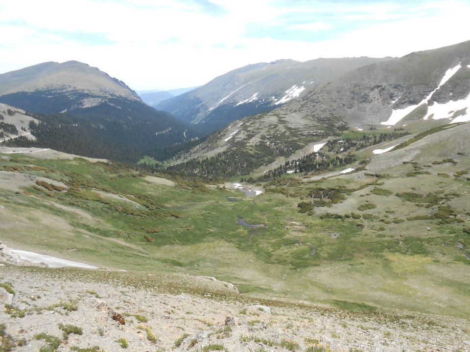
Day Two with my Flatlander guests included a drive through Colorado’s most famous natural treasure – Rocky Mountain National Park.
Have previously visited RMNP a few times BR (before Ro) but only [driven] from Estes Park, ending my journey at the Alpine Center (RMNP top). But since our day began in Glenwood Springs, had the opportunity to enter the park from the West via Grand Lake. Trail Ridge Road is only open to cars from Memorial Day to Labour Day so this was a treat!
Stopped at Milner Pass and provided a brief (USA) geography lesson to my friends. East of the Continental Divide, rivers flow toward the Atlantic; west of the Divide, toward the Pacific. Two of my friends had never been West in their lives – ROCKSTAR geography lesson!
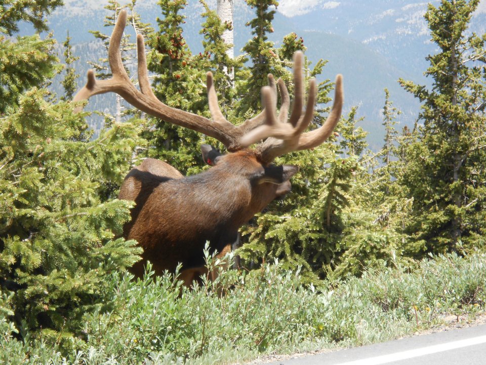
National parks = wildlife sightings
Today’s roadside – stop your car NOW – visitor was a HUGE adult elk with an equally massive rack. Ro would have gone crazy – could be why they don’t allow dogs in the park 🙁
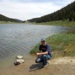
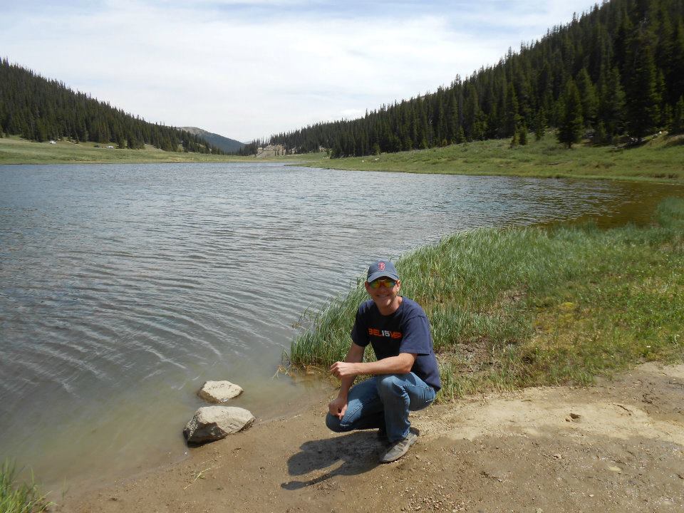
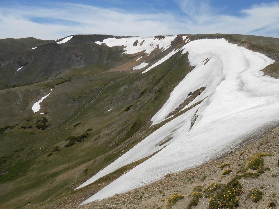
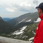
Up to the Alpine Center for lunch and snow pics. Unfortunately, this Colorado day was abnormally warm – more than 60 degrees (but still 30+ degrees cooler than the park entrance). Only snow remaining was Glacier snow – but still counts. For the record: I promised snow & I came through 🙂 Looked back at last July’s (2011) pics. Lot more snow, wearing a jacket and even sported a beard. Hmmm…
Here’s hoping we cycle back to MAJOR snow this winter. Fingers crossed!
https://www.nps.gov/romo/index.htm
-
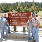
- taught Flatlanders about USA river flow
-
- Milner Pass
-

- HUGE rack on this elk!
-
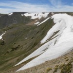
- only Glacier snow on a warm Colorado day
-
- same shot from July 2011 (more snow & I’m wearing a jacket)
-
- sporting a ‘wilderness look’ last year too