Keenan Haga Off to South Dakota – climbing Harney Peak, their state’s highest. No Mt Rushmore though – closed because of our inept federal government. Reason 101 – why we should all be Libertarians 🙂 October 4 at 12:53pm
Plan B? Someone forgot to check the weather forecast but it’s only October, right?
Dropped Ro at Windstar Kennels, finished work – TGIF!, then north on I-25 – weekend hiking destination: South Dakota’s Black Hills. Nearing the Wyoming border saw a flashing road sign warning I-80 West to Laramie was closed due to drifting snow. That’s odd – we only received a dusting this morning, stopped altogether before noon.
Brief fuel stop in Cheyenne, stocked up on road-happy provisions. Crazy wind. I overhear truckers talking about road closures (while eating at Wendy’s – I know, but chili sounded tasty) so asked the Love’s station guys about road conditions ahead. All roads are closed. Yeah, yeah I saw the sign but I’m not heading west – I’m travelling north, then east to South Dakota.
No ALL roads are closed – freak blizzard. What?
Being completely hard-headed…maybe we can travel east, then cut north thru Nebraska somehow. Ok, calling ahead – we had reservations at Custer State Park. 20 inches of snow already, roads are closed – no end in sight. ARGH!
One of the worst blizzards in South Dakota history plowed through the region during the first weekend of October, leaving a wake of destruction in its path. In Rapid City, nestled in the Black Hills, 19 inches of snow fell on Oct. 4 alone. By day three, total snowfall reached 31 inches near Mount Rushmore and close to 5 feet of snow blanketed the hardest hit parts of western South Dakota. Hurricane-force wind gusts raged through the hills, breaking branches and uprooting massive pine trees already covered in ice. It will be days, maybe weeks, before ranchers can locate missing livestock, but estimates are they will find tens of thousands of dead cattle.
Sullen, turned around & headed back to Colorado. Plan B – I need a Plan B. I’m not beaten…just gotta think.
Limited myself to one hour on the Internet – think, think quick.
I’ve never been to Steamboat Springs. Heard there are natural hot springs (similar to Iceland) & assume hiking trails since Steamboat is a Colorado ski destination. Check, done 🙂
Caught some sleep, breakfast burritos at Whole Foods, then hit the highway (again).
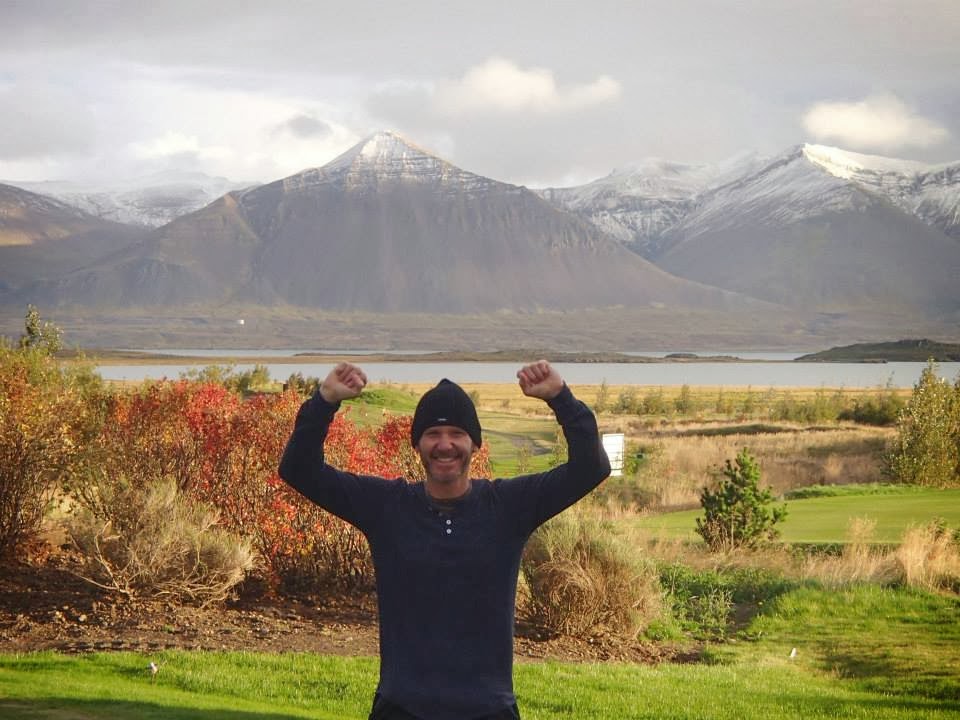
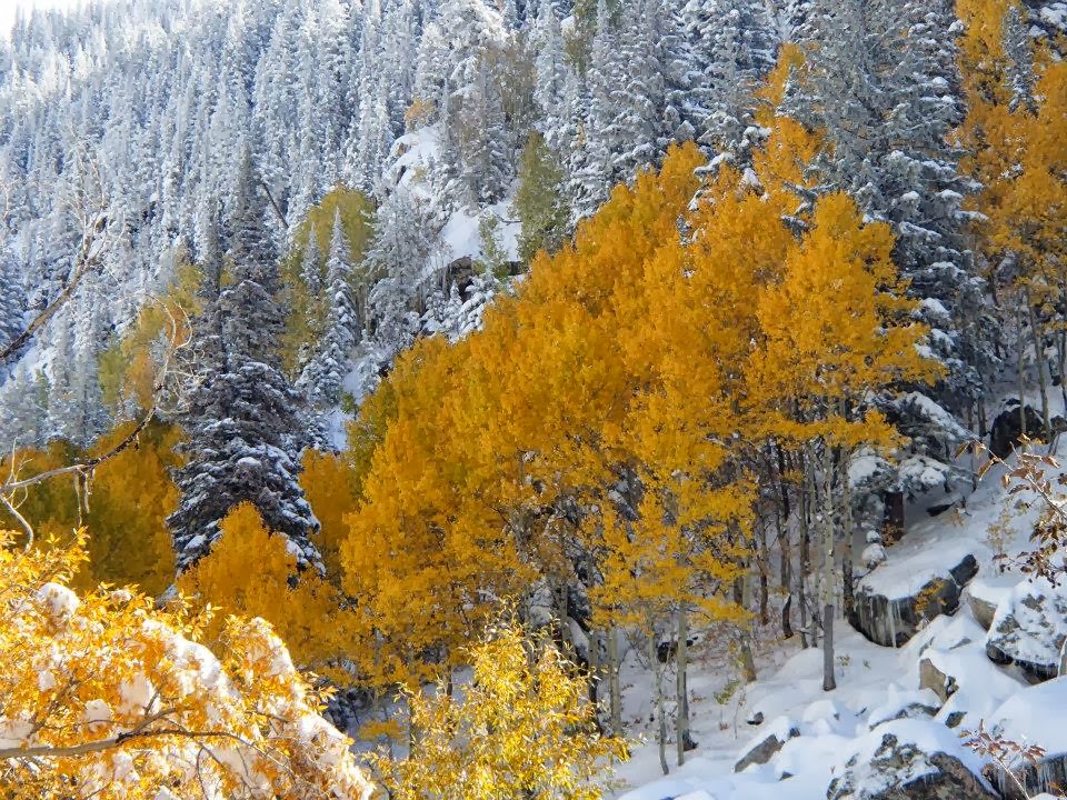
Enjoyed beautiful autumn colour travelling west past Silverthorne, north on 9 to Kremmling, then another hour to Steamboat on Hwy 40. Bit of a late start for a hike – but wow, was not disappointed with my choice. Aspen last weekend, Steamboat Springs this weekend – both fantastic foliage selections plus snow plus chilly 20-degree camping overnights. ROCKSTAR life!
Quick ½ mile hike to Fish Creek Falls, then a longer trek thru knee-deep snow to Second Falls where a group of CSU engineering students offered a hit from their blunt (thanks work friends for the terminology share).
[Nope I didn’t partake but found the situation funny enough to include in my post. Come on, you gotta laugh. Not happening.]
Return hiked to Steamboat, grabbed some chili, then back on the road – day’s only half over, right? 🙂
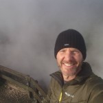
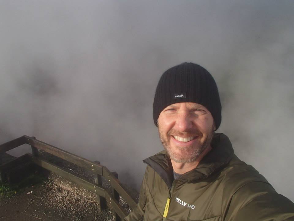
Drove two miles up a muddy road riddled with pot holes. Strawberry Park Hot Springs looked like a resort spa on the web. Sun was disappearing fast. Was this the right place? Paid a guy the $10 cash-only entrance fee. Seemed kinda shady. And where do you change clothes? Yeah, the experience was a bit out of my comfort zone.
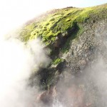
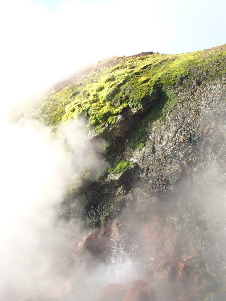
Temps plummeted with the fading light, steam from the natural hot pools created a dense fog.
Slipped on a suit & kerplunked into the pool – awkward, missed a step completely & all but fell in. LOL>
Ahhhhh. Warm, relaxing. Lowered the voice control in my head.
Perched against a rock wall, kicked back & enjoyed the show – the heavens opened up, exposing every imaginable star. Little Dipper, Milky Way, Cassiopeia. Never thought I’d soak ‘til almost midnight – one AMAZING nite.
Flash-bathed at McD’s next morning (another proud moment), then enjoyed oatmeal & blueberries at the Steaming Bean. Quick walk-around F. M Light & Sons (western store advertised in every farm field from Kremmling to Steamboat), followed by a stop at historic More Barn, before the return drive to Boulder County.
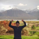
SPECTACULAR ‘Plan B’ weekend – South Dakota can wait, I’ve got time 🙂
WATCH my short clip – ‘Second Falls (Fish Creek Falls trail)’
-

- Hwy 40 to Steamboat Springs

-
- another ‘fall’ hike in snowy Colorado

-

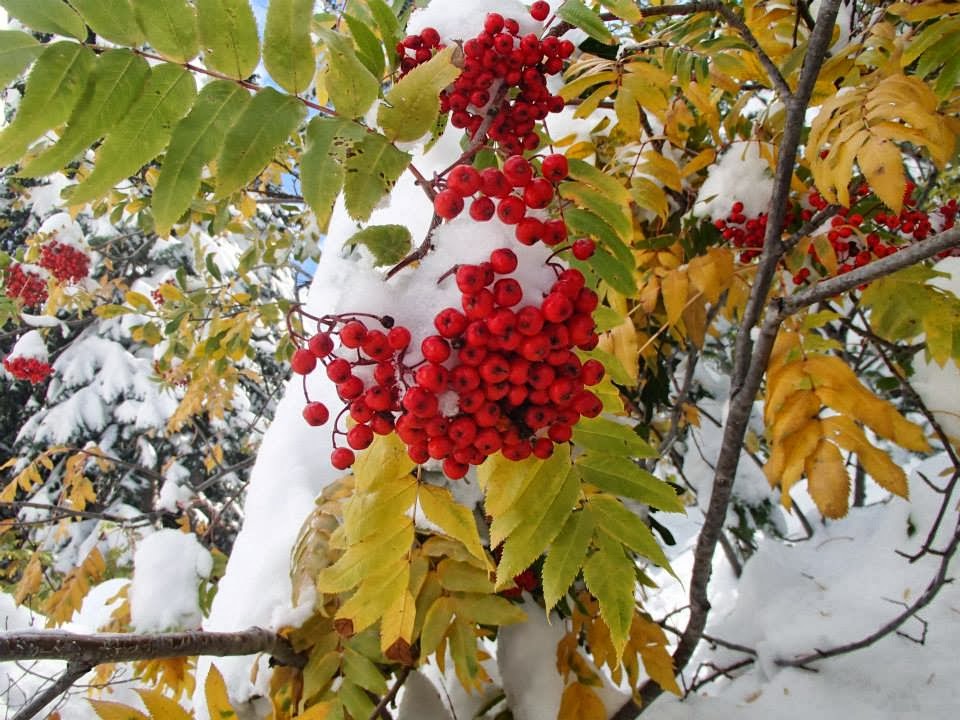
- mountain ash berries
-

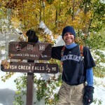
- beautiful Fish Creek Falls

-

- autumn yellow

-
- spring green

-

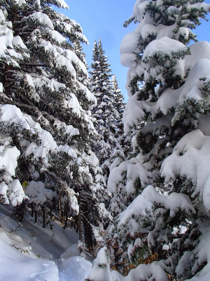
- & winter white
-

- snow hiking in October – LOVE it!

-
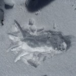
- Sasquatch?

-

- flash of Aspen yellow
-
- Steamboat overlook (amidst mighty amazing colour)

-

- temps in the 20’s & snow camping (again)

-

- Second Falls (Fish Creek Falls trail)

-

- ROCKSTAR breakfast at Steaming Bean — highly Recommended!

-

- weird but true

-

- and another fun one

-

- More Barn

-

- celebrating autumn — Colorado style

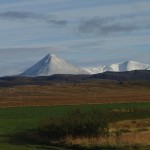
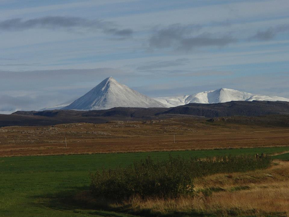
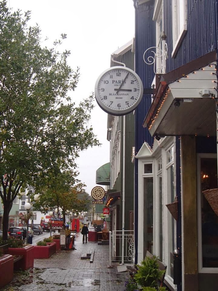
7 days ago my island circle tour left Reykjavik. Traveled first across southern Iceland (viewed waterfalls, geysers, icebergs & glaciers), looped up into the eastern fjords (discovered fish leather fashions), then encountered 3 days of unseasonable snow travelling over mountain passes in Iceland’s North (Viking snow swim in Mývatn).
Today, SUNSHINE 🙂 as we completed the loop through Western Iceland.
First stop – Deildartunguhver, the world’s largest and most powerful hot springs – gurgling at a piping hot 200°F.
WATCH my short clip ‘Deildartunguhver (Iceland)’!
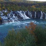
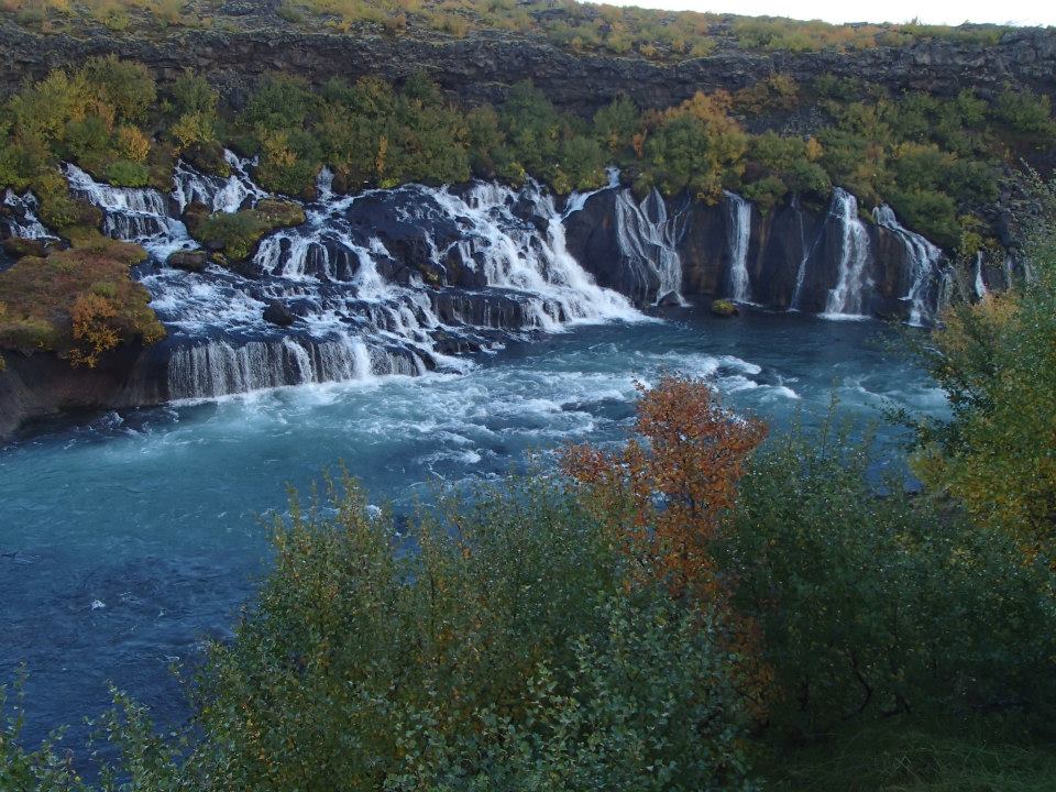
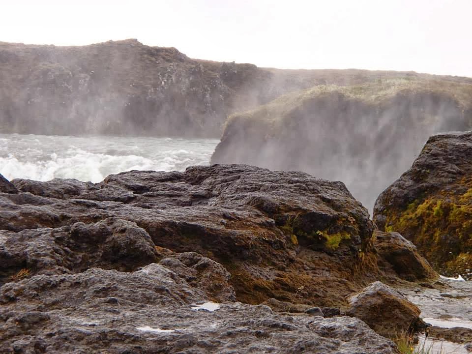
2nd stop – Hraunfossar & Barnafoss waterfalls. A series of cascading waterfalls, Hraunfossar (Lava Falls) pours from a lava field lying under the glacier Langjökull. In layman terms – BEAUTIFUL!
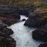
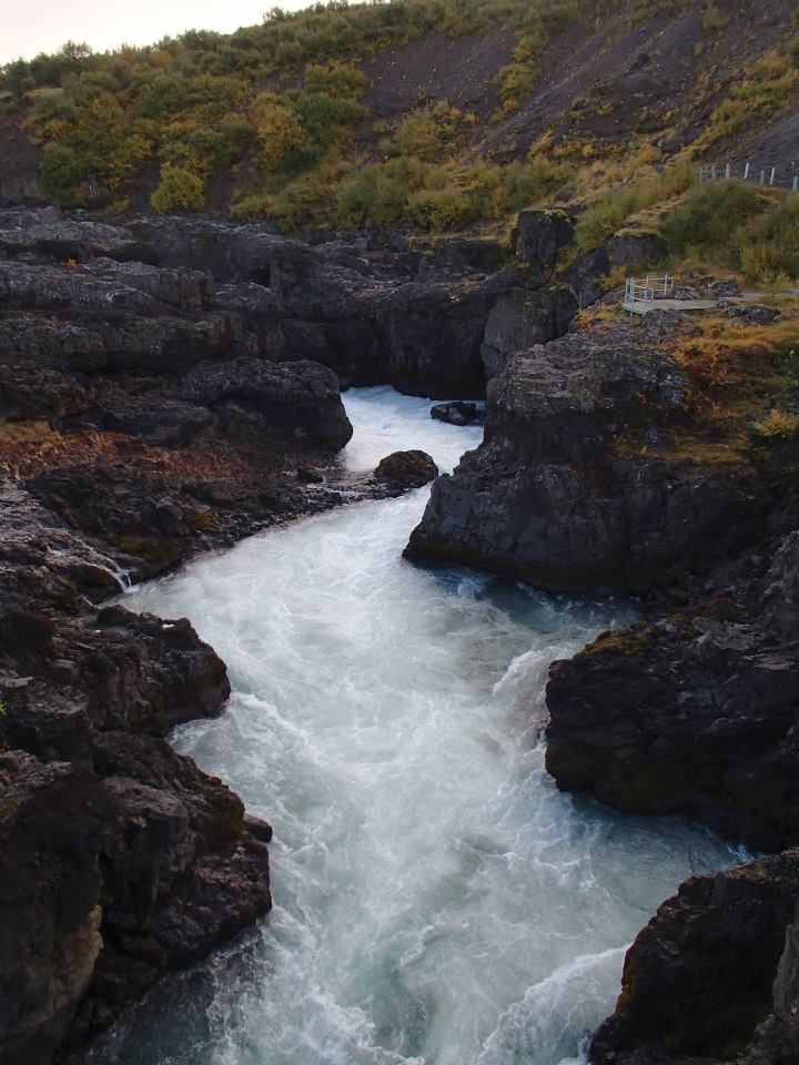
Barnafoss (Children’s Falls) on the other hand pushes through a volcanic rock canyon before also emptying into the river Hvítá.
Many Icelandic folk tales have been associated with Barnafoss, the most famous being about two boys from a nearby farm, Hraunsás. One day, the boys’ parents went with their ploughmen to a church. The boys were supposed to stay at home, but as they grew bored they decided to follow their parents. They made a shortcut and crossed a natural stone-bridge that was above the waterfall. But on their way, they felt dizzy and fell into the water and drowned. When their mother found out what had happened, she put a spell on the bridge saying that nobody would ever cross it without drowning himself. A little while later, the bridge was demolished in an earthquake.
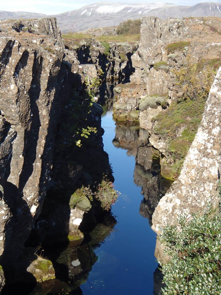
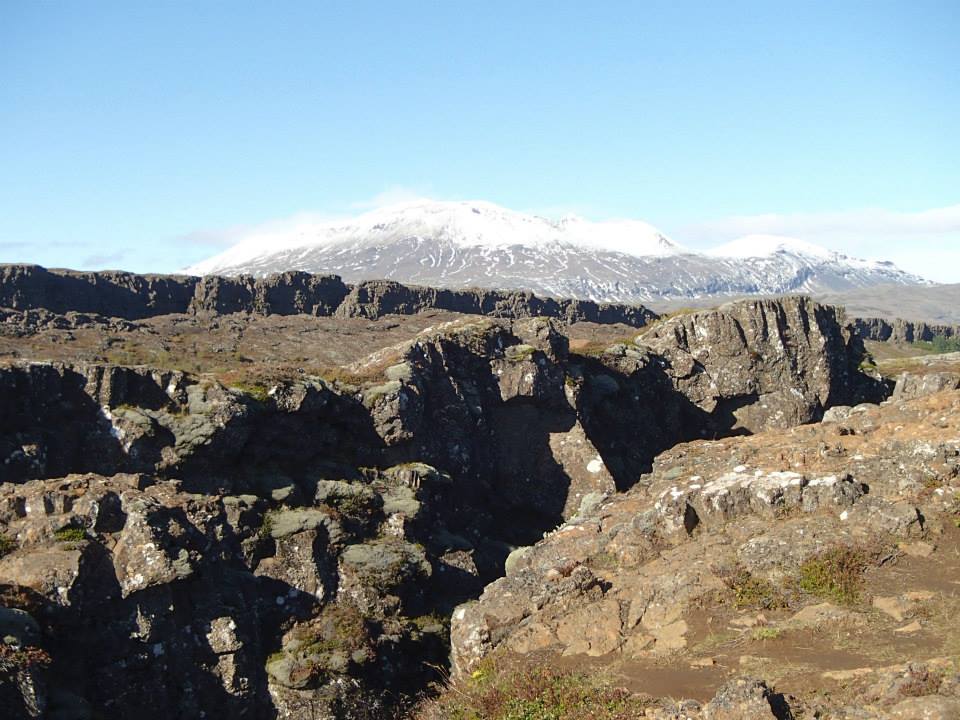
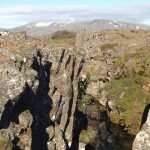
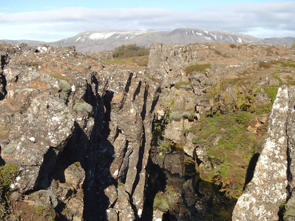
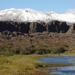
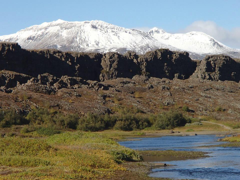
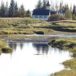
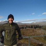
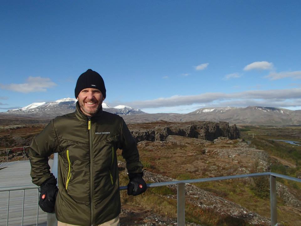
Finale – Þingvellir (Thingvellir) National Park where the Alþingi, an open-air assembly representing the whole of Iceland, was established in 930 and continued to meet until 1798. It was here that Christianity was introduced as the official religion of Iceland. AND in 1944, Iceland declared its independence (from Denmark) at Þingvellir.
All super interesting but for me – Today’s Highlight: the Eurasian & North American tectonic plates jutting dramatically from the valley’s volatile surface. An active fault line runs diagonally across Iceland (SW to NE) & is the source of earthquakes and major volcanic eruptions (every 4 years on average).
Amazing tour end – STUNNING!
Back in Reykjavik with 20 hours ’til my return flight to Denver. Rest, relax? Heck, no. Shelled out a fast 5400 ISK (Icelandic króna) – tonite’s my last chance to see the Northern Lights!
-
- Western Iceland
-
- Delidartunguhver, world’s largest & most powerful hot springs
-
- SUPER hot, 200°F!
-
- Hraunfossar waterfall (Lava Falls)
-
- Barnafoss (Children’s Falls) – sadly, named for 2 boys believed to have fallen into the river below
-
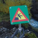
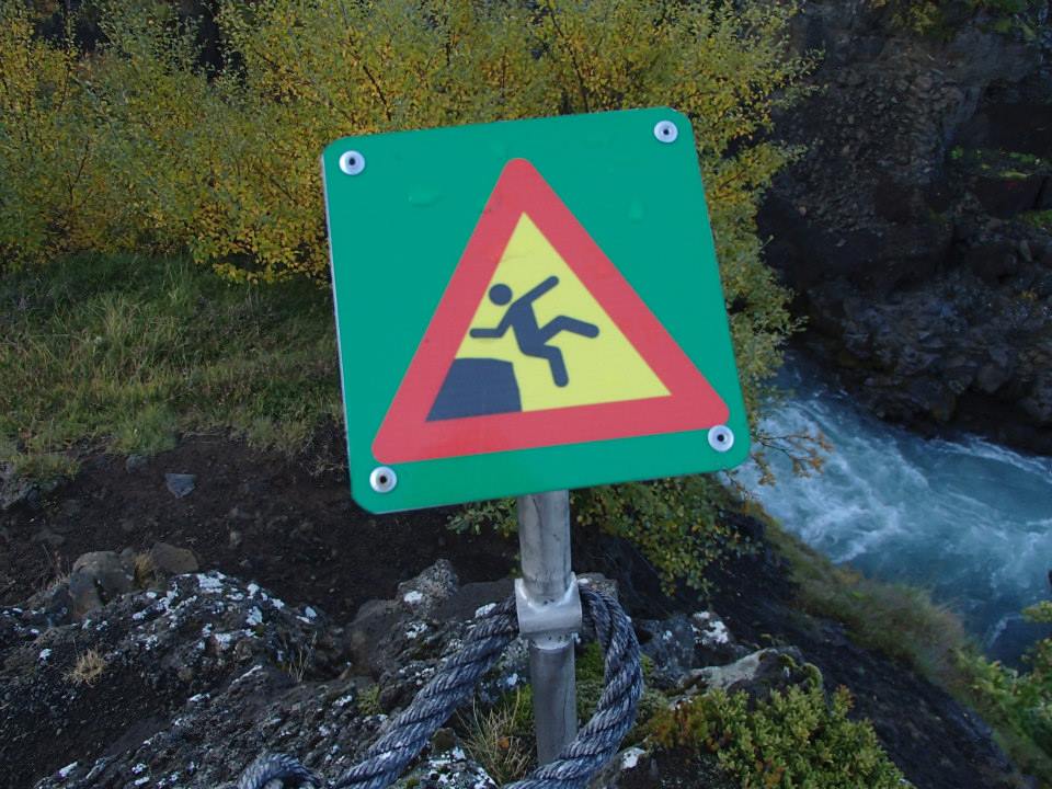
- funny, yet on-point warning
-
- Thingvellir Nat’l Park
-
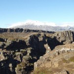
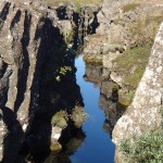
- Eurasian (foreground) & North American tectonic plates
-
- stunning natural beauty
-
- scenic North American tectonic plate & fault line area
-
- Althing, Icelandic parliament, was established in 930 and continued to meet until 1798

-
- sunshine, snow & volcanic rock – nope, can’t stop smiling
Ended Sunday in snow & continued the next 2 days across Northern Iceland stuck in the same weather pattern.
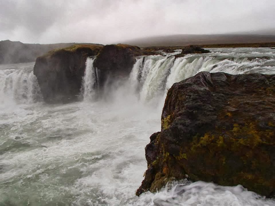
After a late start from Mývatn, visited Goðafoss (waterfall of the Gods) and a traditional turf farm, Laufás – before reaching Akureyri, Iceland’s 2nd largest city (approx 18,000 population). Highlight: Arctic Char at Rub 23.
Woke early Tuesday, destination: the Icelandic horses of Skagafjörður. Watched a horse demonstration & listened to Icelandic folk songs at Varmilækur, a horse farm nestled beneath multiple volcanic mountains in Iceland’s far North.
Skagafjörður is the only county in Iceland where horses outnumber people.
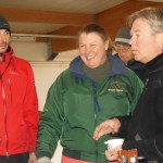
After a day filled with music, trip favourite was the Riding Song sung by our guide Ingi Gunnar Jóhannsson, a former Iceland Eurovision finalist (2nd place – 1988).
WATCH: Ridum Ridum (Icelandic riding song)
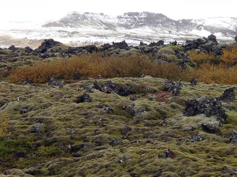
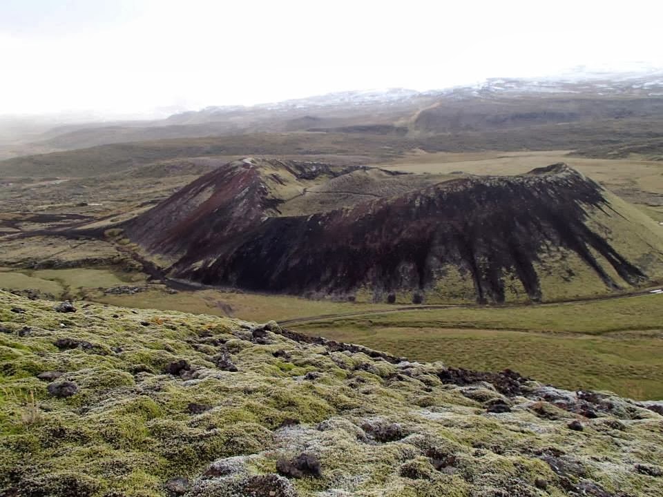
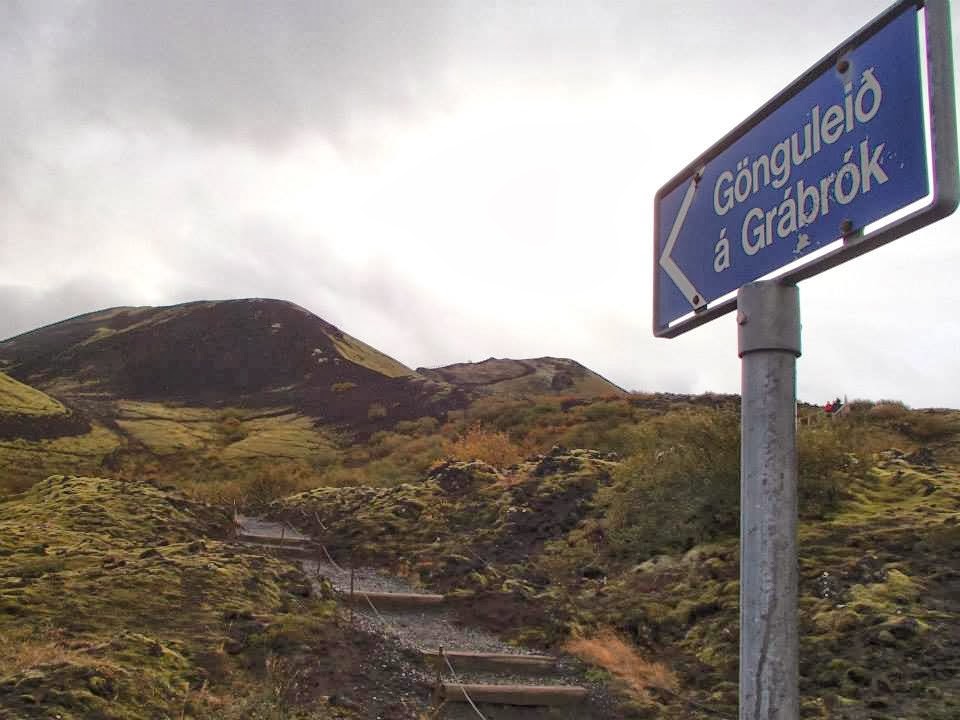
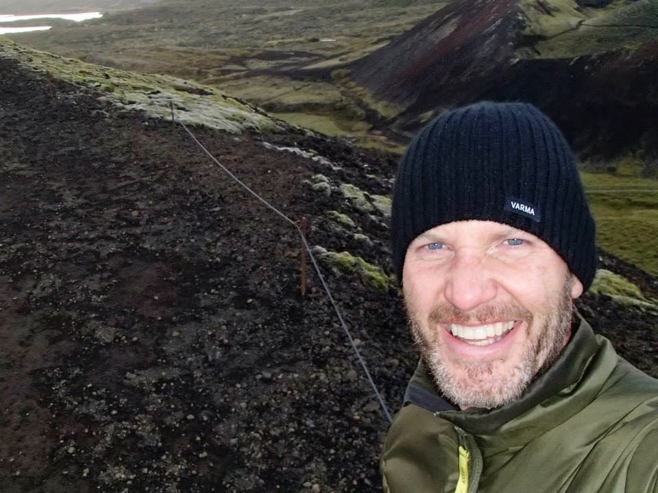
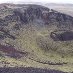
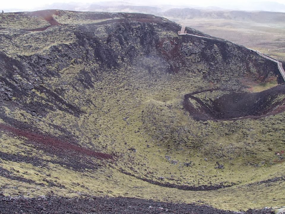
Finished the day with a quick hike UP Grábrók, a 3400 year old volcanic crater.
Actually, didn’t just hike UP but ran the loop twice 🙂 AMAZING view, AMAZING day!
-
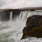
- Godafoss (waterfall of the Gods)
-
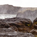
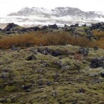
- light rain, volcanic rock & moss = slick footing
-
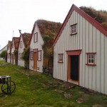
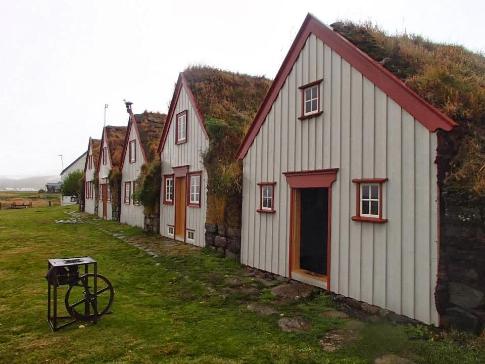
- Laufas turf farm (circa 1877)
-
- Akureyri, Iceland’s 2nd largest city
-
- Arctic Char at Rub 23 – TASTY!
-

- sweet Keiko from Japan
-

- Julia from Portugal
-
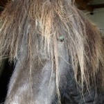
- Icelandic Viking Horse at Varmilaekur (www.varmilaekur.is)
-
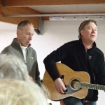
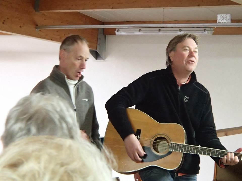
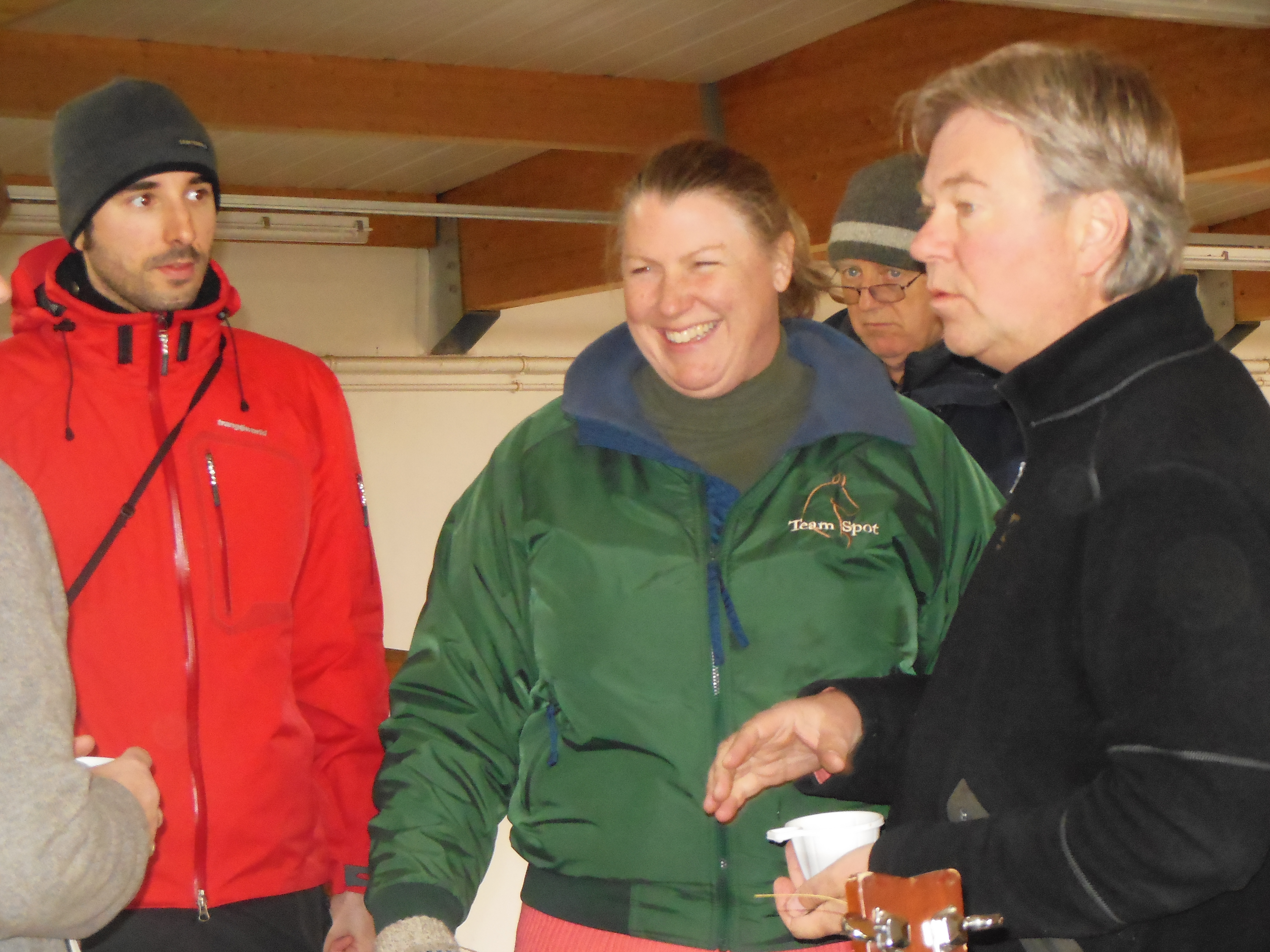
- Icelandic folk music, LOVED it! (Ingi Gunnar Johannsson & Bjorn Sveinsson)
-
- biggest smile of the day
-
- Grabrokarhraun lava estimated 3400 years old
-
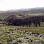
- one of 3 volcano craters
-
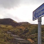
- Grabrok volcano hike

-

- first to the top – BIG smiles!
-
- ran the crater trail twice – FANTASTIC day!
-
- celebrating sunshine – first rays in 3 days