Afternoon rain forecast with light evening snow – goal was to locate a unique hike but be back before the weekend’s precip started.
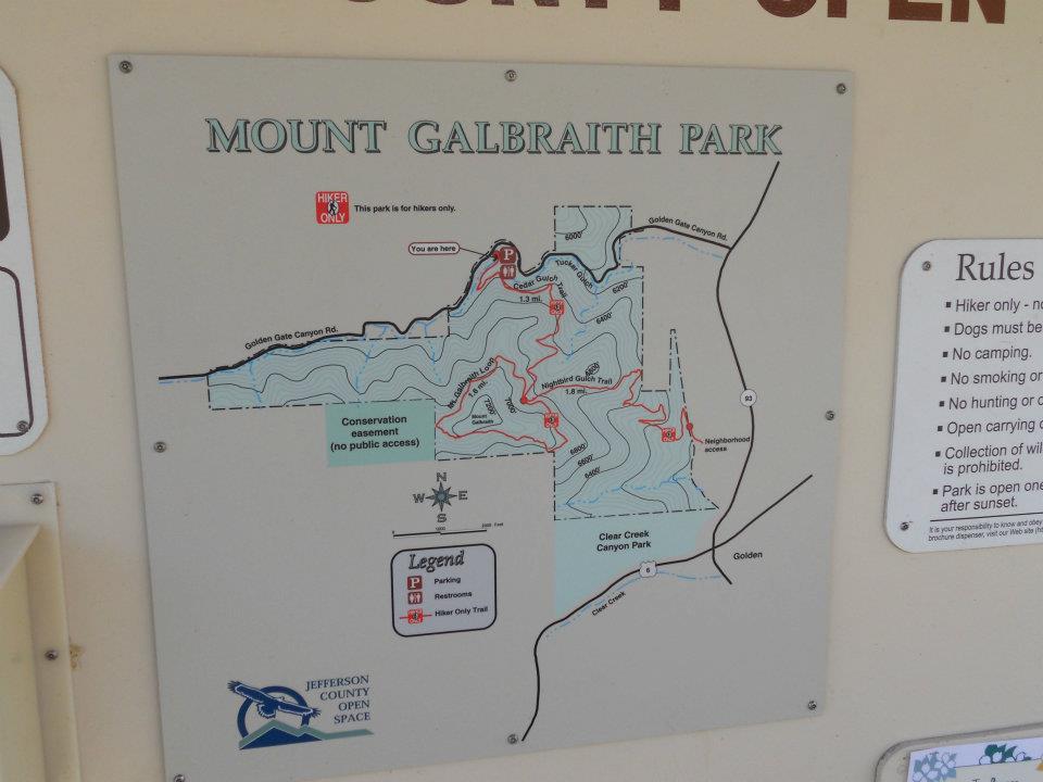
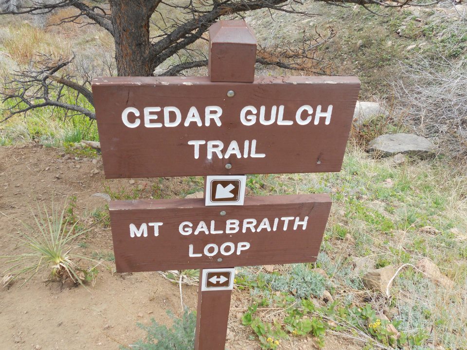
Plan A – Golden Gate Canyon State Park in Golden. Plan B – today’s hike in Golden when I could not easily locate our Plan A trailhead, could see the sky clouding up, and had already passed Mt Galbraith’s trailhead twice in my Golden Gate search.
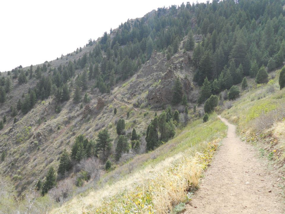
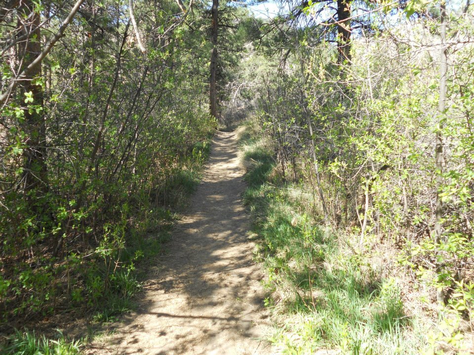
Mount Galbraith was our dog-friendliest hike to date. Nearby Denverites – also exercising their dogs – flooded the trails while between intermittent spring (rain/snow) showers.
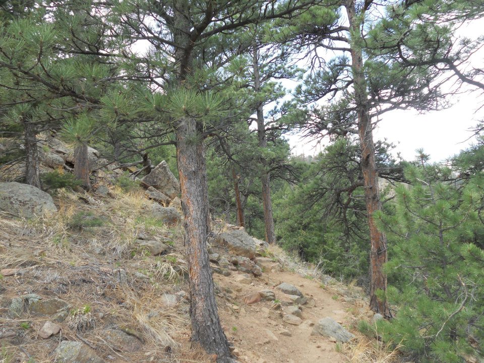
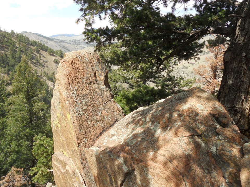
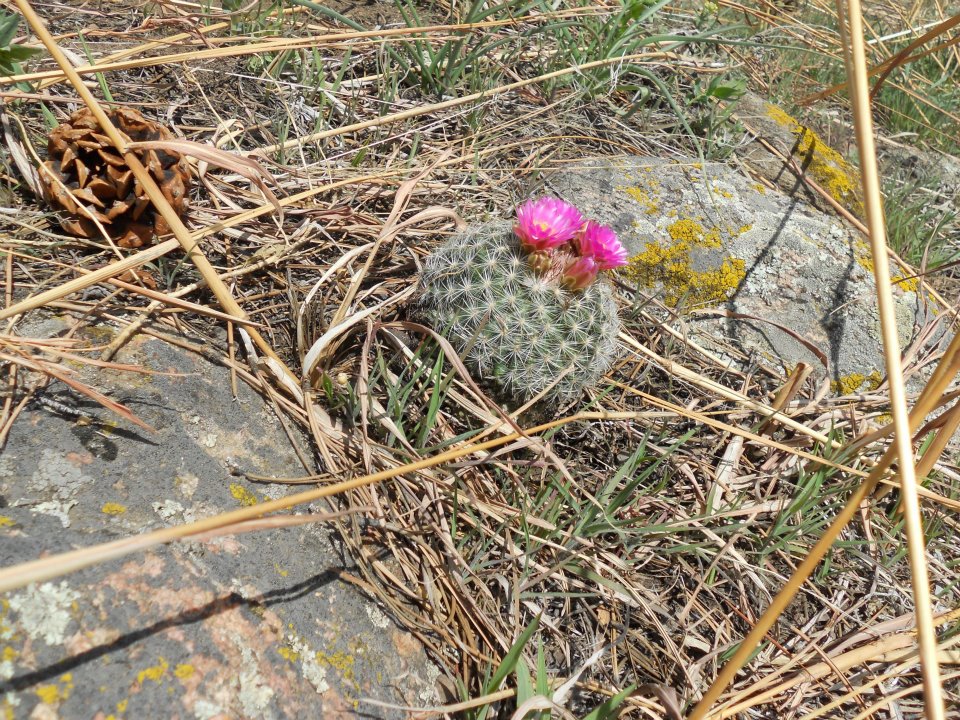
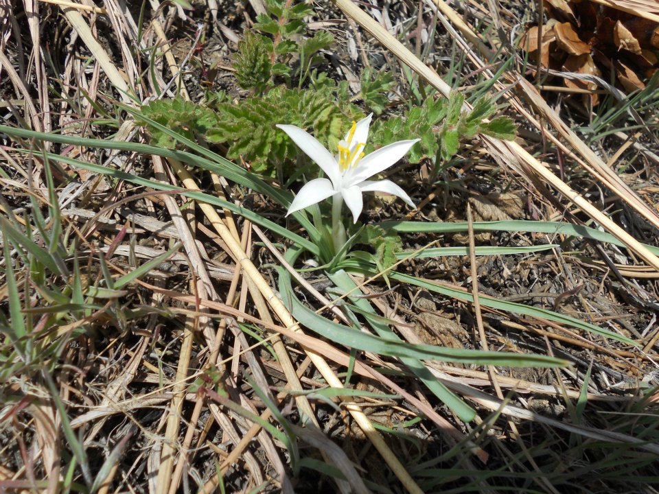
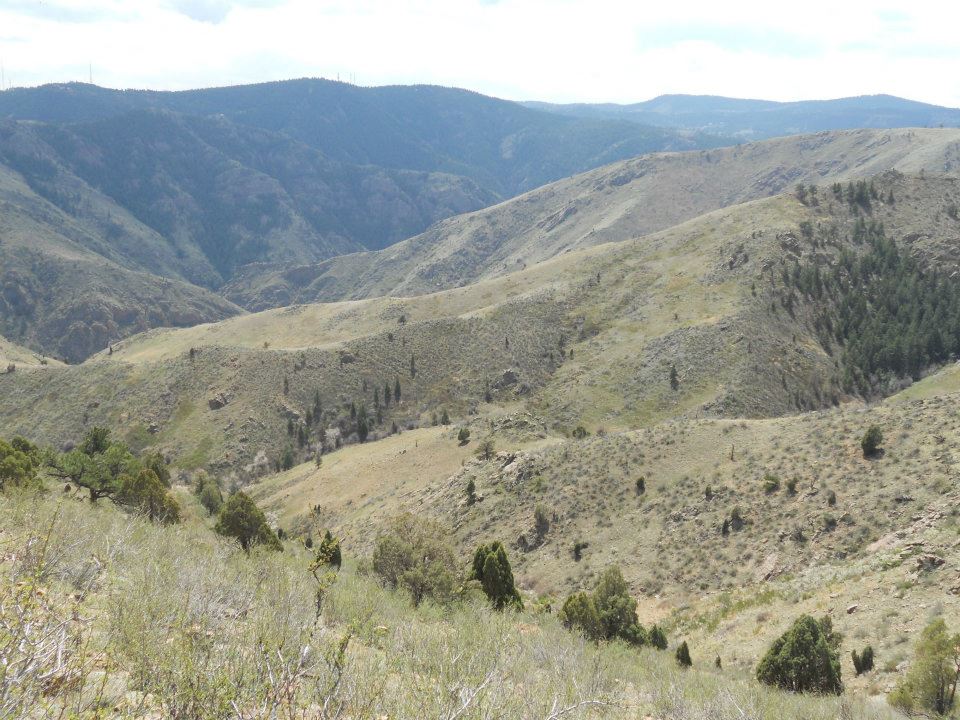
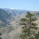
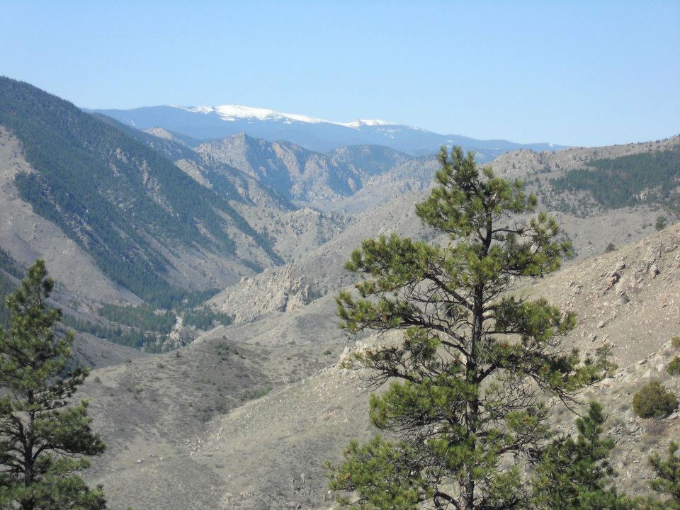
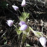
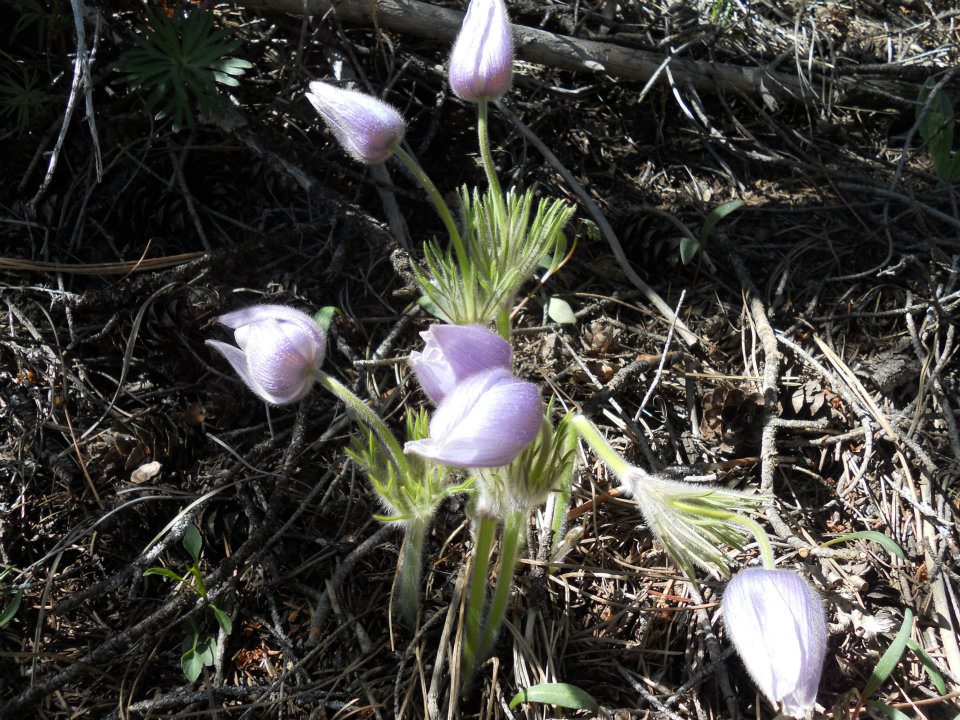
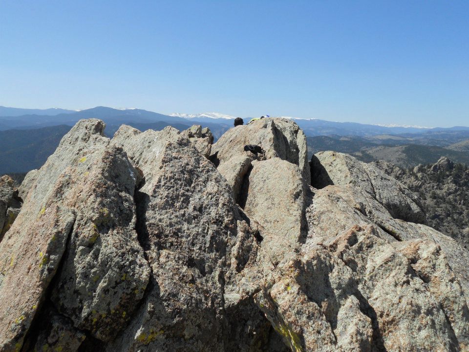
Saw SPRING all along today’s hike – even the lowly cactus was sporting bright, vivid-coloured blossoms. Continued tradition with a bean burrito (backpack) lunch and snapped a few pics from the ‘mountain’ high spot.
4.7 miles roundtrip, trail ran return loop back. Not exactly ‘high altitude’ but we got in and out before the day’s rain 🙂
-
- 5 miles roundtrip; up and back before afternoon rain and evening snow

-
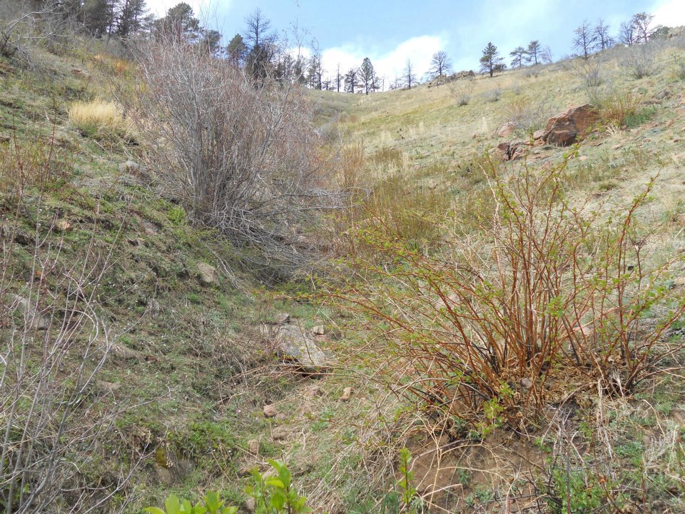
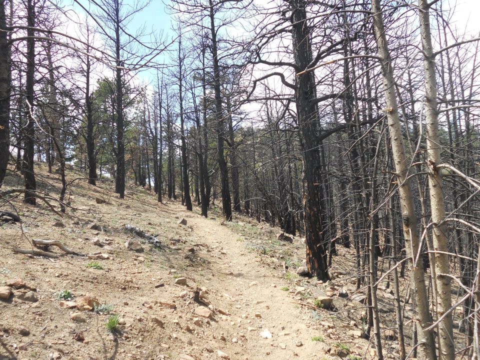
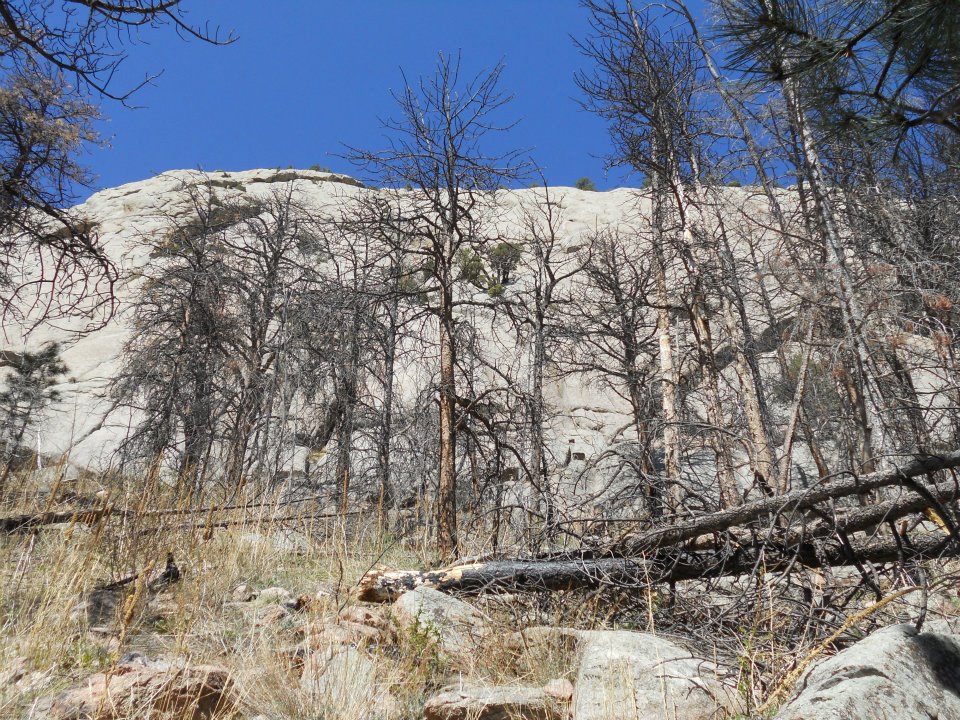
- patch of forest fire past
-
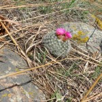
- even the cactus is celebrating spring
-

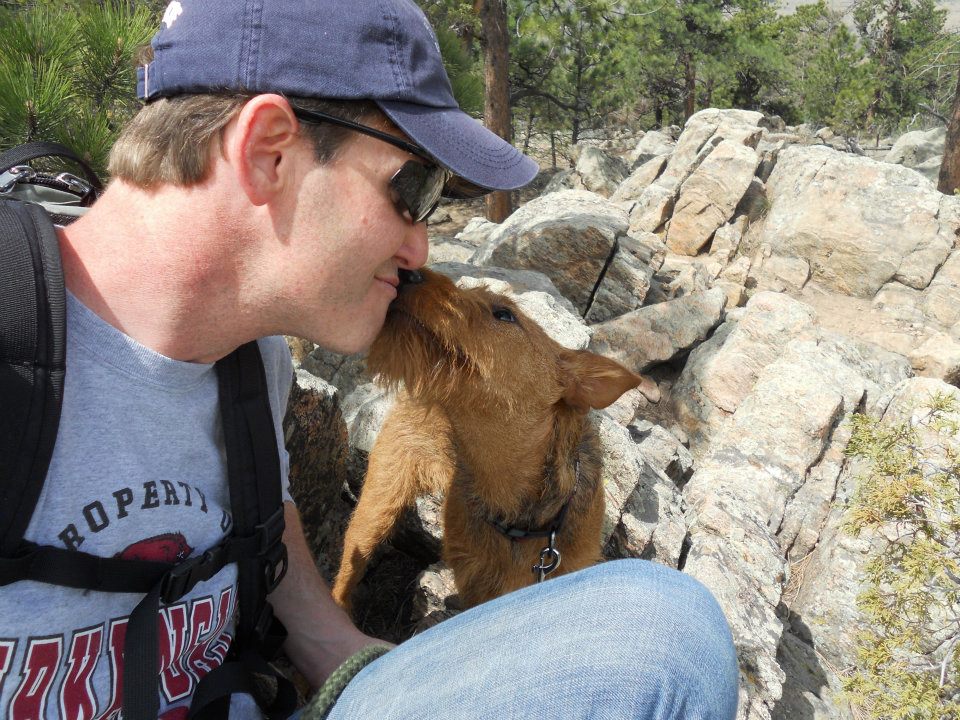
- summit smooch
After two weeks of missing our summit targets, needed a new mountain to re-gain some ‘altitude attitude’.
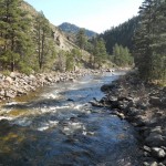
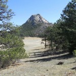
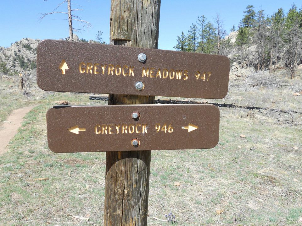
Greyrock Mountain is 20 minutes west of Fort Collins – knew it was gonna be a great hike when GPS coordinates were required to locate the trailhead. LOVE LOVE LOVE this place!
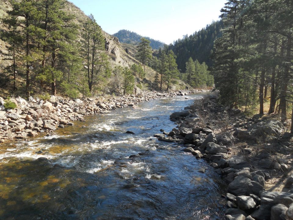
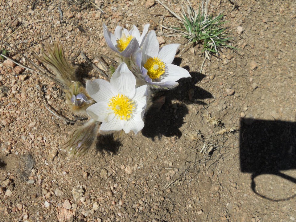
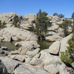
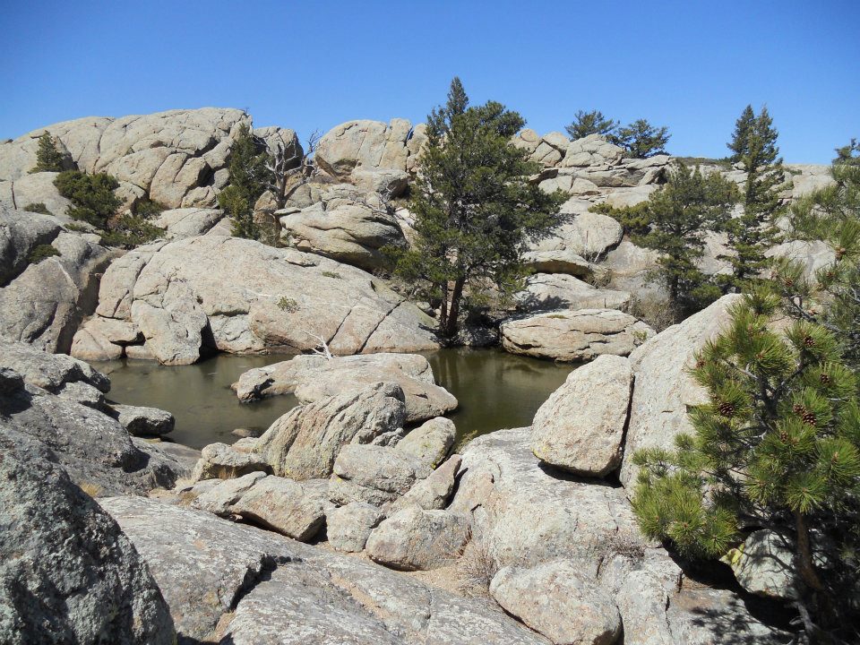
A bridge, then a lazy mountain hike spilled into Greyrock Meadow. Saw our first spring flowers poking through mountain soil, then BAM – Greyrock. Amazing how these HUGE geological wonders can stay completely hidden from view until you reach forest threshold.
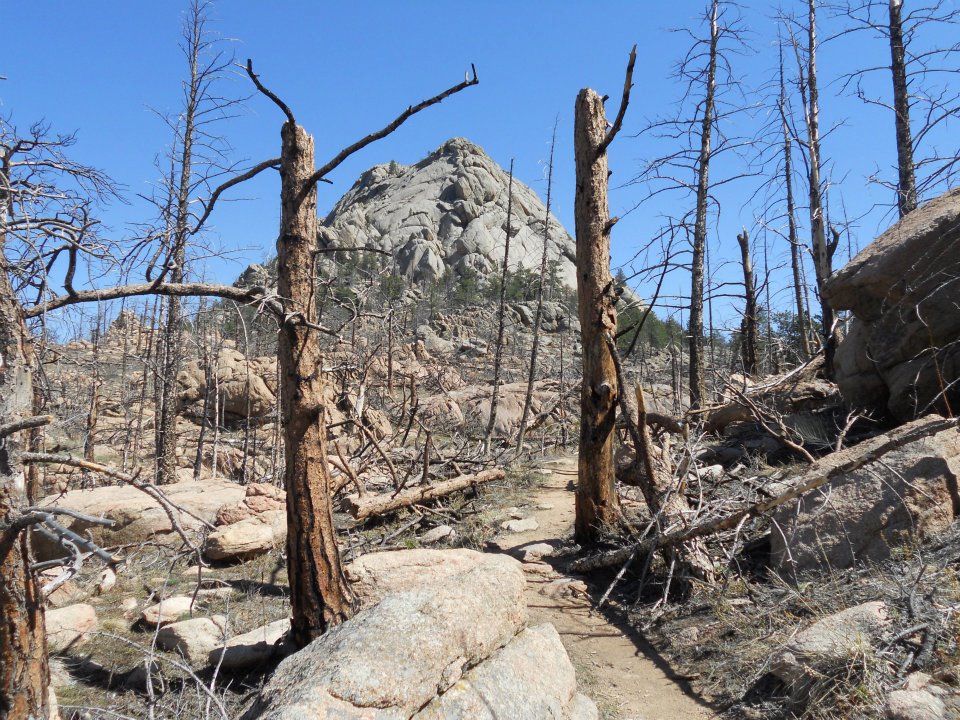
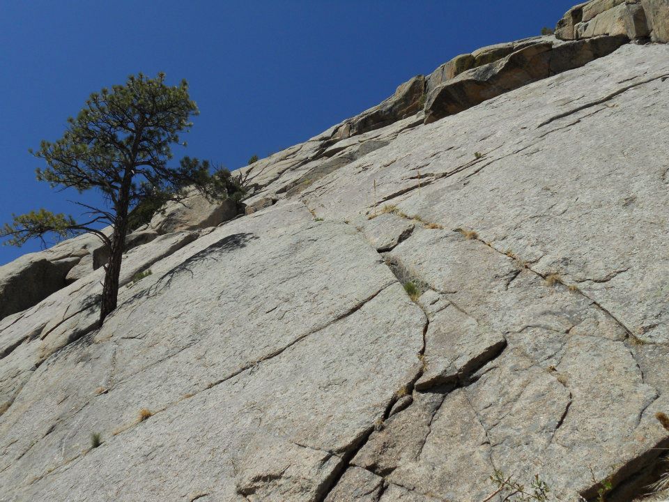
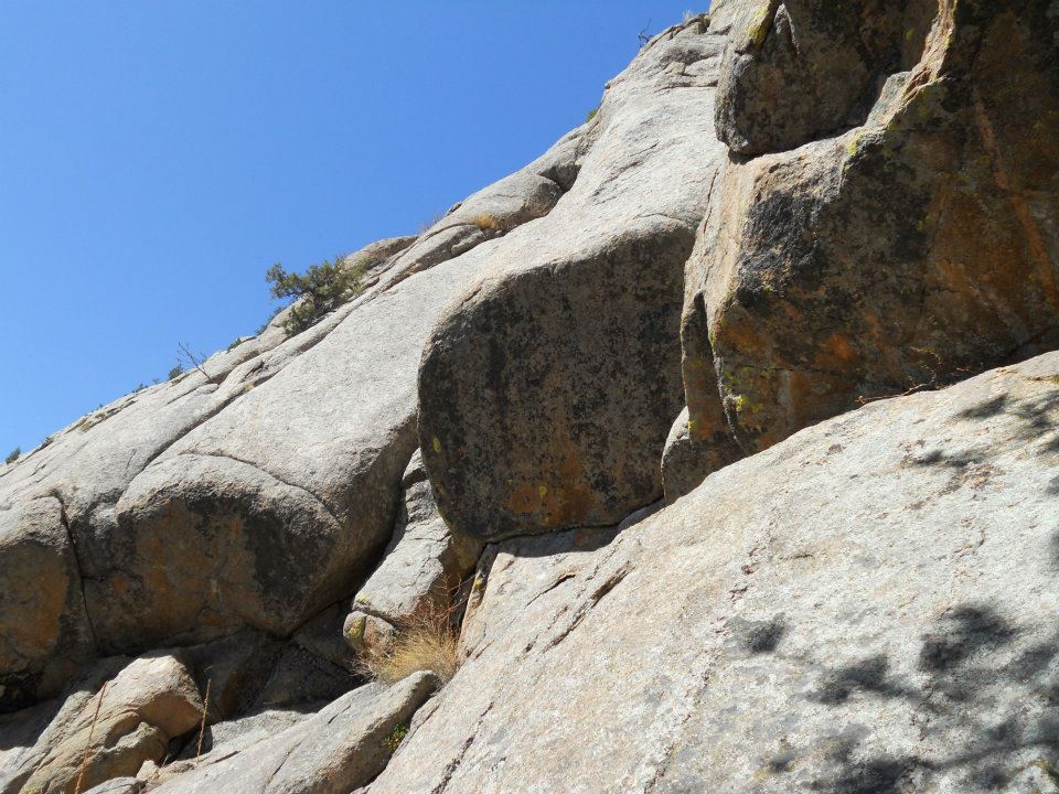
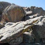
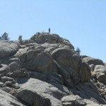
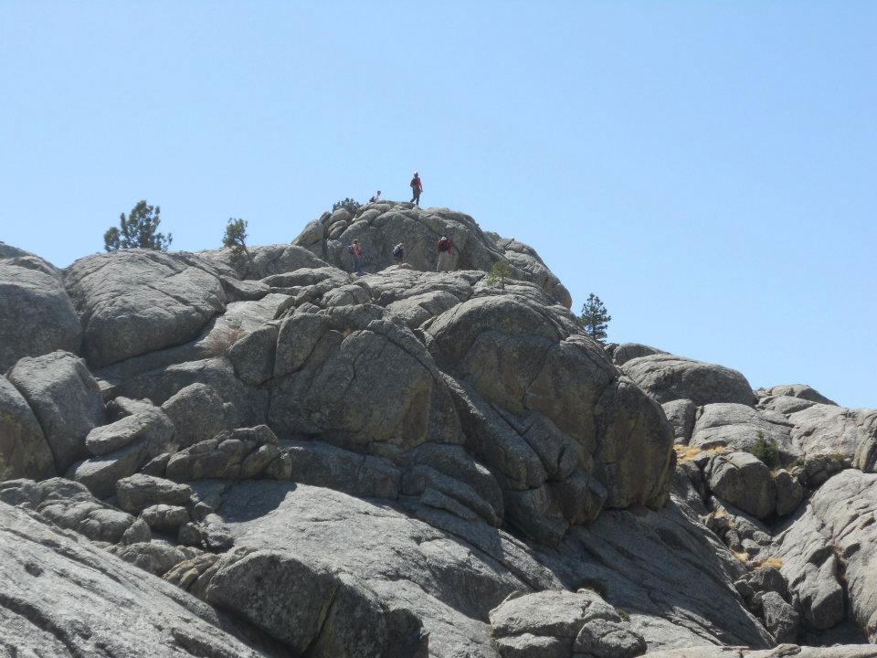
From spring meadows and ‘green’ Greyrock, we hiked to GREY-ROCK towering straight UP. Layered up, then scrambled around and created our own switchbacks – Ro was doing this climb UNassisted.
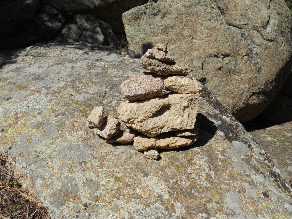
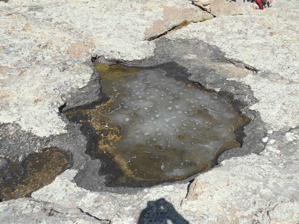
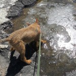
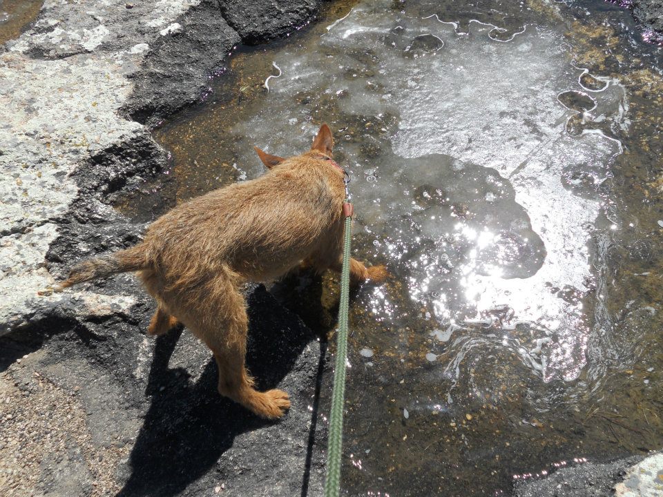
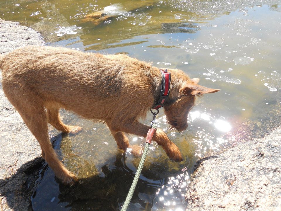
Multiple Inukshuks marked the trail UP ‘til we reached a mini-oasis of ice-water trapped on the rock basin below our summit. No more ice walks for Ro, but not quite swimming weather either — highlights our present winter/spring season break.
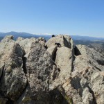
One last push to the top, then SUCCESS! Our summit drought has ended 🙂
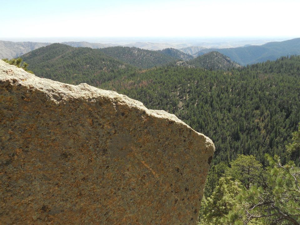
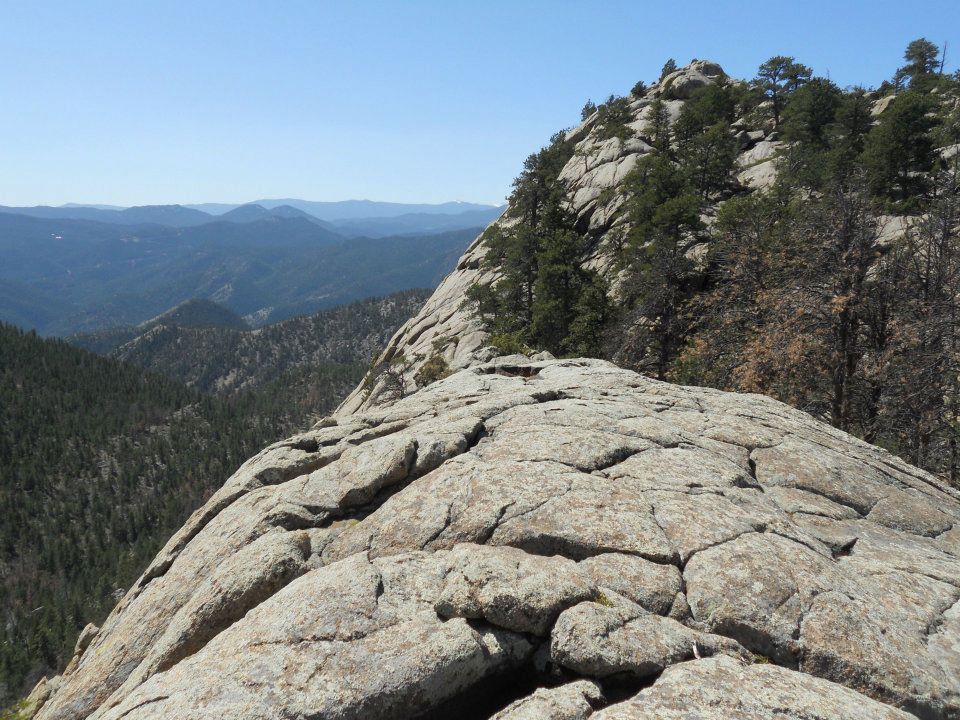
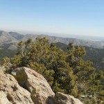
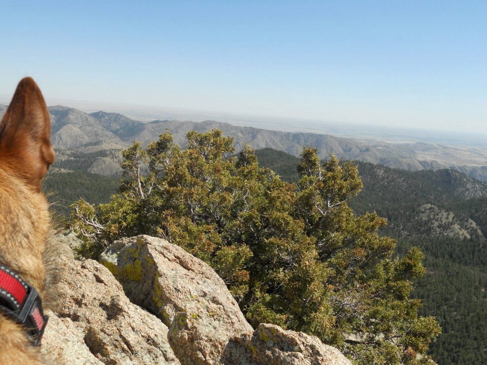
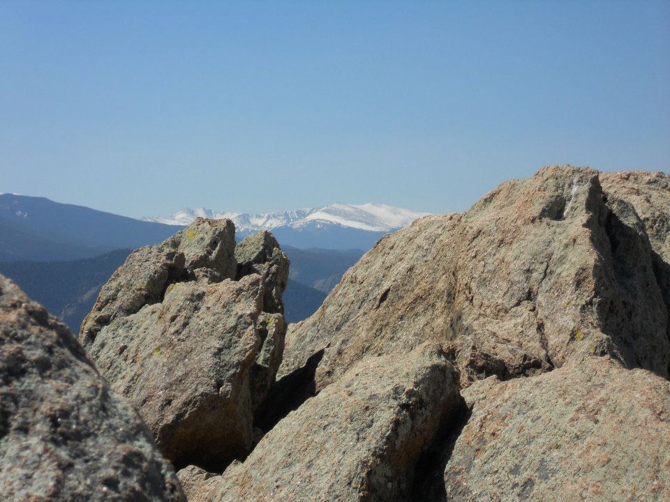
FAAANTASTIC high altitude view – why we call this HOME!
-
- N40 41.690 W105 17.061: Greyrock Mountain (you know it’s gonna be amazing when you plug in GPS coordinates to find trailhead)
-
- beautiful pre-Easter hike to Mountain
-
- first mountain flowers
-
- Greyrock Meadows
-
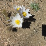
- more Easter colour
-
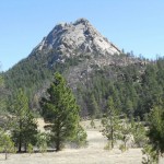
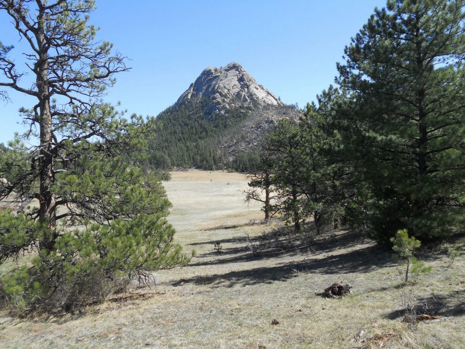
- (green) Greyrock

-
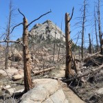
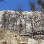
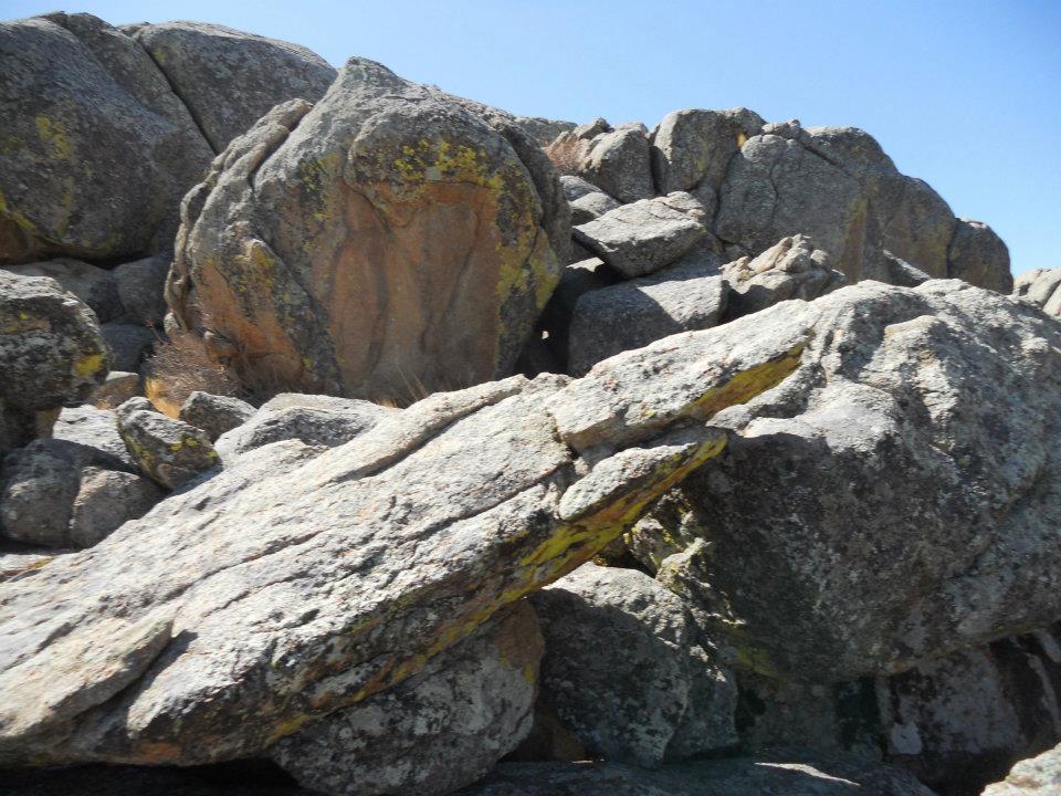
- (apocalyptic) Greyrock
-

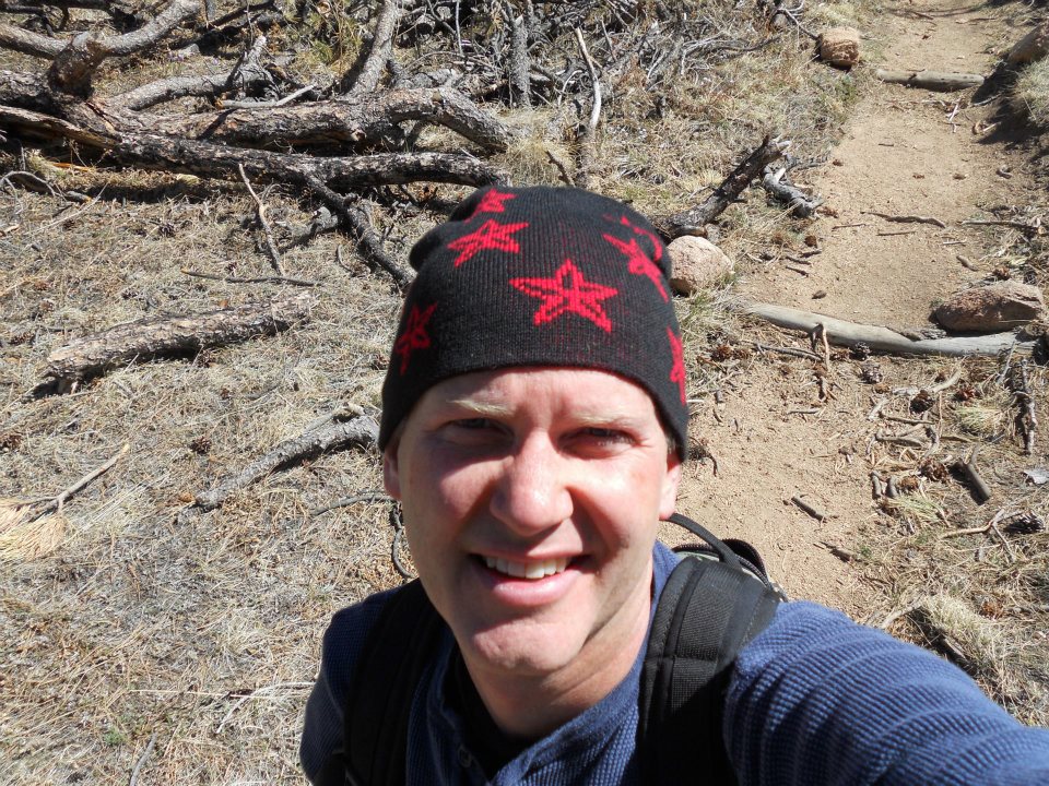
- layering up before our scramble to the top
-
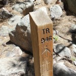
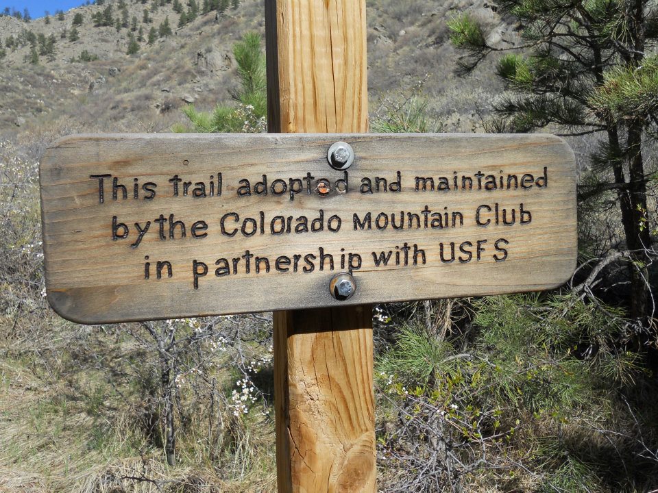
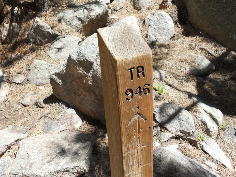
- when you drop off trail, these posts are welcome signs
-
- GREY-ROCK
-

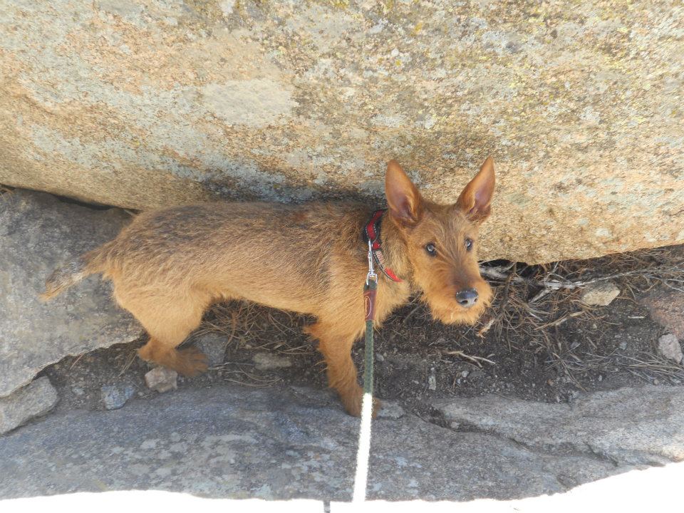
- finding his way
-
- multiple Inukshuks guide our way to Summit http://www.inukshukgallery.com/inukshuk.html
-
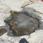
- Ro high-altitude water find
-
- mini-oasis of trapped water
-
- ice water bath
-
- last push to top
-
- SUCCESS!
-
- quiet, peaceful & spectacular
-

- Ro cam

-
- Summit Farewell http://www.youtube.com/watch?v=LR4j8iWu-OI
Hour and half drive to trailhead but think I have my pre-Easter hike set!
Quote Clincher: “If you chose to summit Grey Rock mountain know that the last part of the trail is fairly difficult and is more of a rock scramble than a hike but the views at the top will blow your mind!”
365 things to do in FORT COLLINS: Hike the Grey Rock Trail!