3 East Coast visitors here for a few days – hooray! Wanted to show off my state – but limiting that tour to parts of Colorado not currently on fire 🙁 Fires to the north, a new fire to the south (near Colorado Springs) – Go WEST young man!
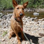
Dropped Ro off at Cottonwood Kennels for 2 days. He’ll play for a solid 48 hours, then crash at home for the next 24 after being out day & night with the boys. That’s his history after Ashton’s graduation in early May. Expect the same this go-around.
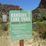
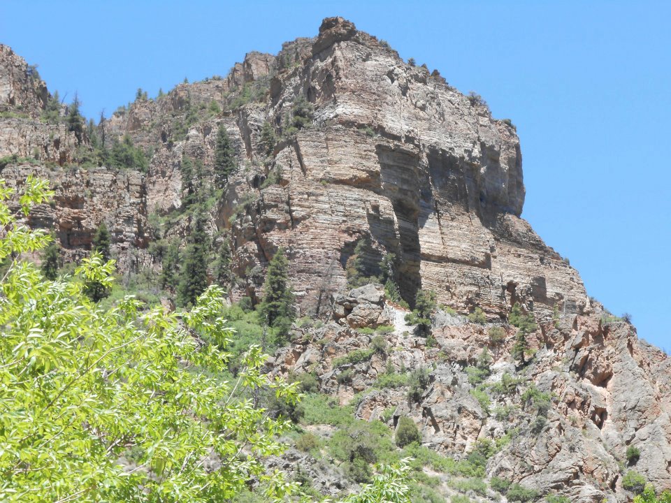
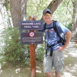
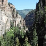
South to Denver, then 2 ½ hours west on I-70 to Glenwood Springs. Probably the most amazing stretch of interstate highway in America – traversing through staggering Glenwood Canyon. Refueled in Georgetown, then full-steam ahead to Hanging Lake – a ‘no dogs allowed’ hike. Since Ro was at Cottonwood, decided to fit in many ‘no dogs allowed’ points into our all-Colorado itinerary.
https://www.youtube.com/watch?v=LNqcNH7ez4k&feature=related (I-70 thru Glenwood Canyon)
4 of us started the trail at Hanging Lake – one little Indian suffered altitude sickness, then there were 3 (poor Sheila).
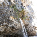
1.2 mile vertical climb to the top – SPECTACULAR view! Crystal clear water, emerald green hue, and a mountain waterfall. Sure that mountain spring was cold but I needed to be in the water – that’s the W-O-W moment! Shot a video short of the waterfall. SUCCESS!
Hanging Lake (waterfall video)
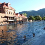
Did the return hike in just over 30 minutes, regrouped and eased to our evening vacation activity – Glenwood (mineral) Hot Springs. (Naturally) geo-thermally heated, then cooled down to 104-degrees so we guests are not boiled alive 🙂
Day One ended with smiles – good sign for tomorrow!
https://en.wikipedia.org/wiki/Hanging_Lake
-
- ‘difficult’ is only a state of mind


-
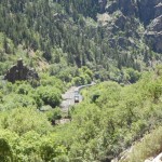
- approaching tunnel

-
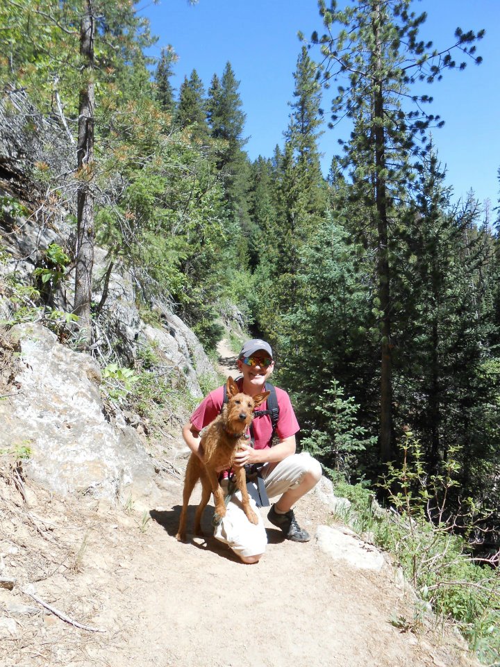
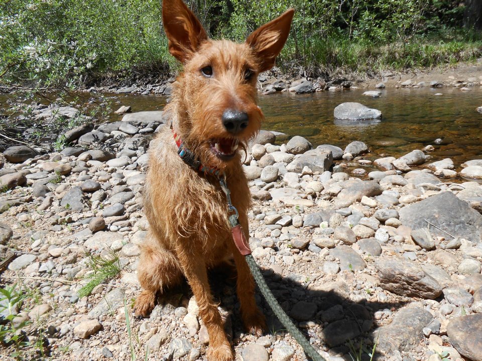
- No Rowan this hike (just seems wrong, huh?)

-
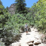
- young Dan leads the way


-
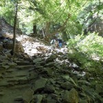
- 1.2 mile vertical climb

-

- SUCCESS!

-
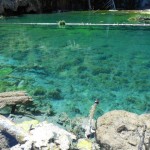
- clear & emerald green

-

- mountain waterfall

-

- Hanging Lake (from behind the Falls)


-
- Spouting Rock

-
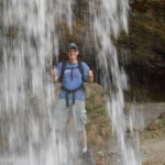
- behind the Falls

-
- W-O-W moment!

-
- hike followed by mineral hot springs (hmmm..smell of sulphur – LOL)

-
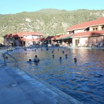
- geo-thermally heated, then cooled to 104-degrees for guests

-

- still all smiles after Day One

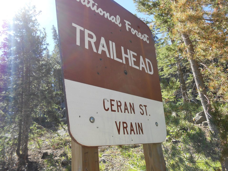
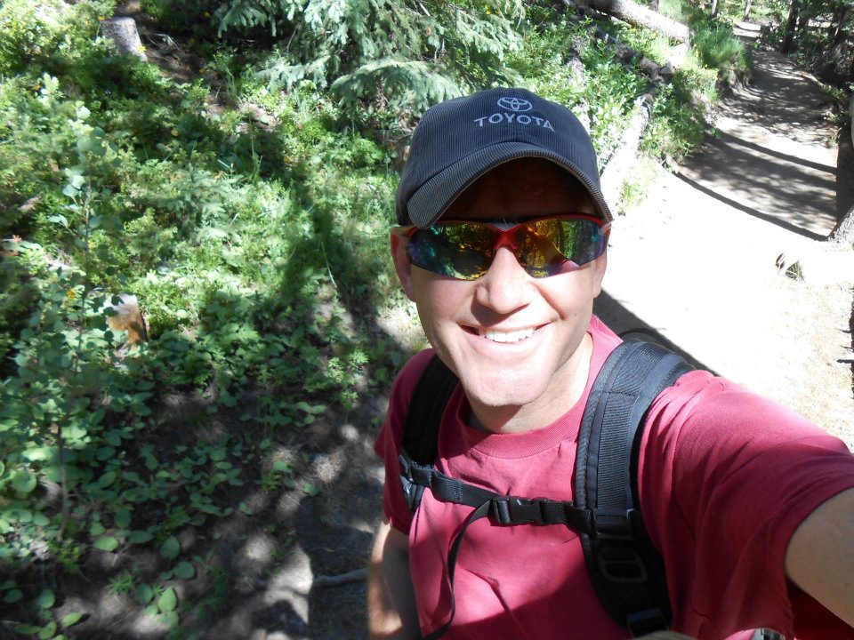
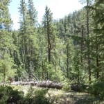
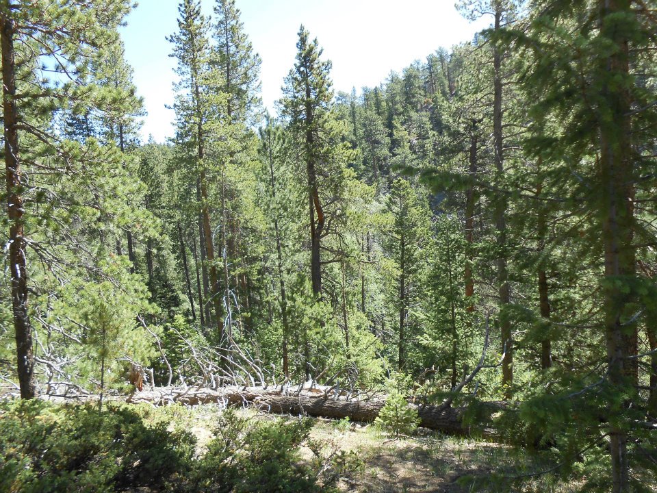
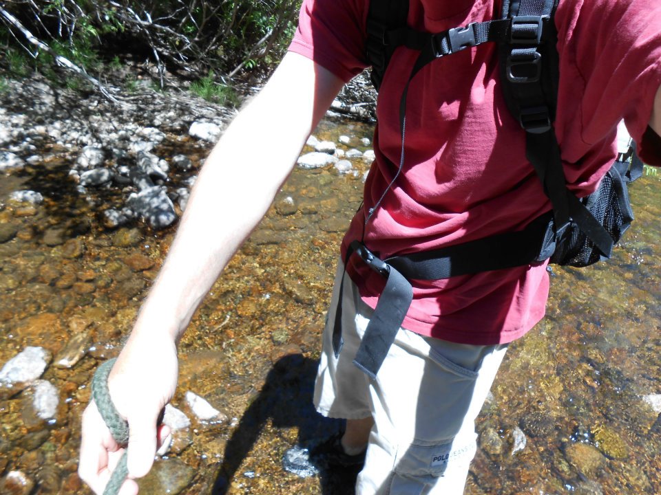
Feeling a bit under the weather – bronchitis from the recent fires – was looking for a relatively easy hike…no 3rd straight 14er weekend for me. A co-worker spoke highly of Ceran St. Vrain. Her dogs love water and this hike crosses the St. Vrain more than a few times. Named for an 1800’s fur trader, just past the trailhead in Jamestown walked through an all-pine forest. So FRESH – love the smell of pine!
Didn’t start this hike ‘til 10am so shared the trail with many many others. Easy 45-minute hike OUTDOORS, which lifted my spirits.
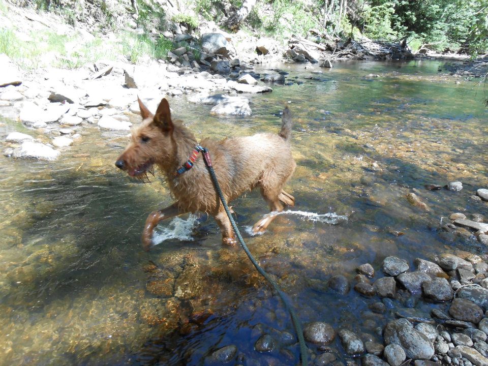
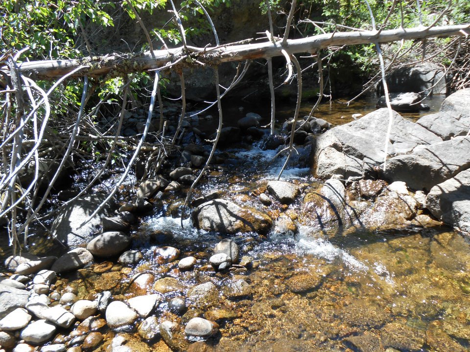
Lunch on the St. Vrain riverbank, then got inspired. Hey – why not hike back UP the river? Sole was cracked from last week’s Quandary summit…was gonna toss these shoes anyway. Weather was HOT, water cold – great combo for our first ‘river’ hike.
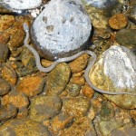
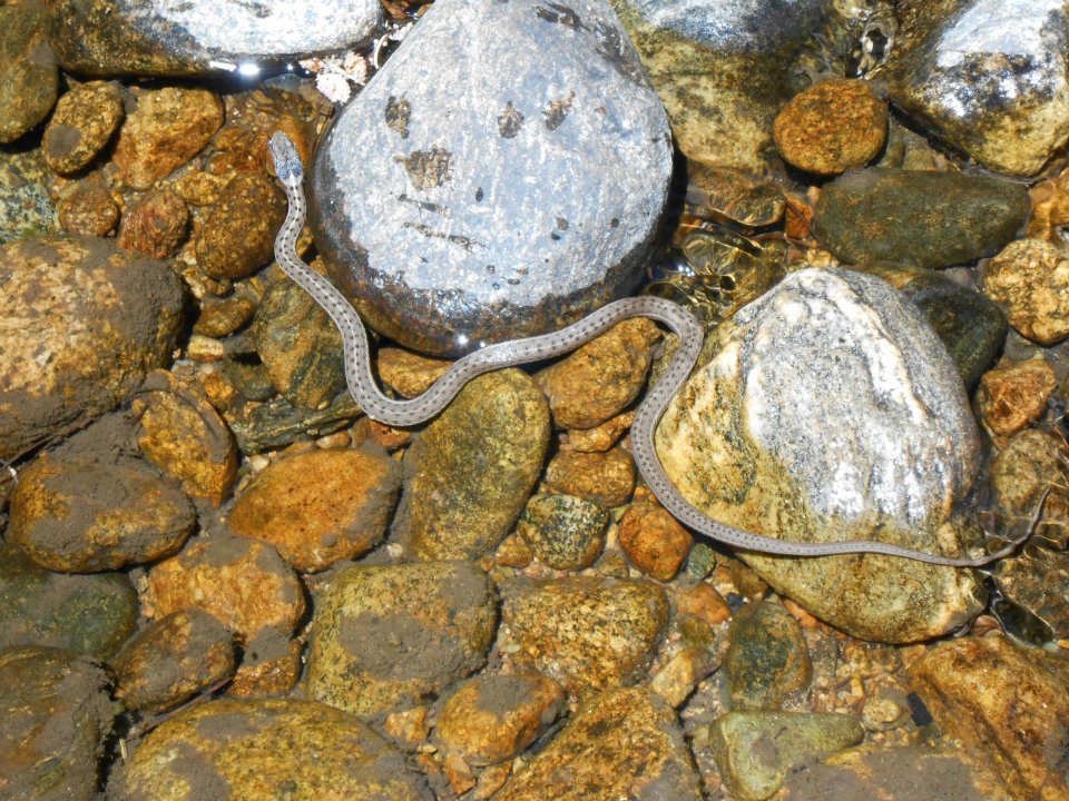
Met a few tree dilemmas – climb over or under? Surprisingly, not always so obvious. Under – you’re bending down in the water. Over – one wrong move, crunch and ouch. LOL> Then of course never expected to see snakes 🙁
Highly recommend taking the road less travelled – ROCKSTAR day!
protrails.com – Ceran St Vrain
Sounds a lot like the plot of James Michener’s Centennial – hmmm….
https://en.wikipedia.org/wiki/Ceran_St._Vrain
https://en.wikipedia.org/wiki/William_Bent
https://en.wikipedia.org/wiki/Charles_Bent (first governor of NM territory & scalped alive by Pueblo Indians – ouch)
-
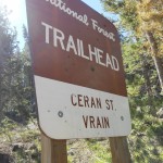
- Jamestown trail named for 1800’s fur trader
-
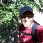
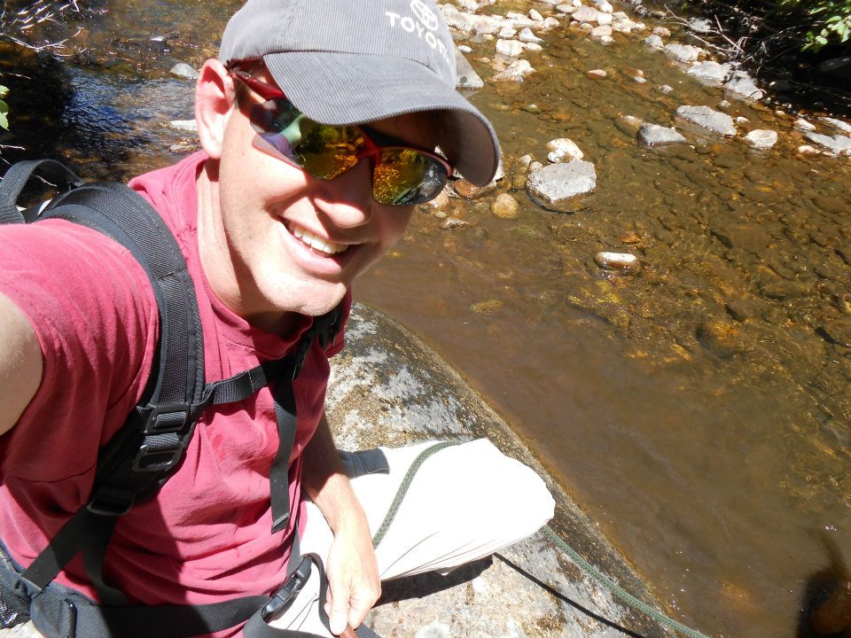
- free hat (notta product placement promo, honest)
-
- smell of pine (LOVE IT!)
-
- lunch break on St. Vrain
-
- hey, hey…can we get in?
-
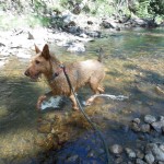
- and so our 2 mile river hike begins…
-
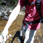
- was gonna toss these shoes anyway (cracked sole last weekend on Quandary)
-
- tree dilemma: (climb) over or under
-
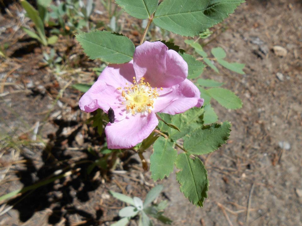
- assume this wasn’t poisonous? (don’t know, don’t wanna know)
-
- Highly recommend taking the road less travelled — ROCKSTAR day!
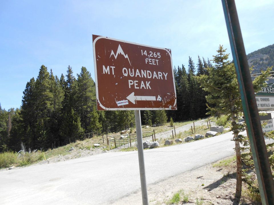
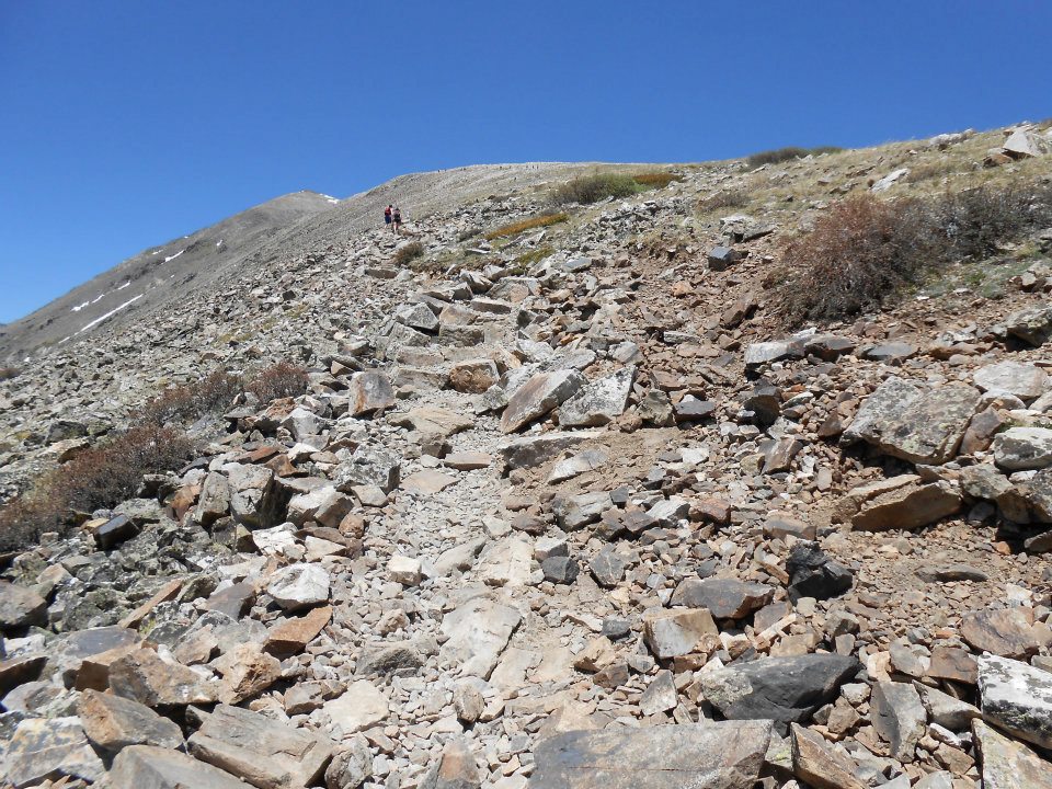
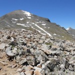
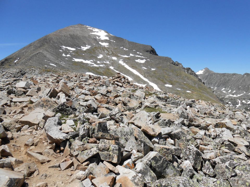
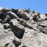
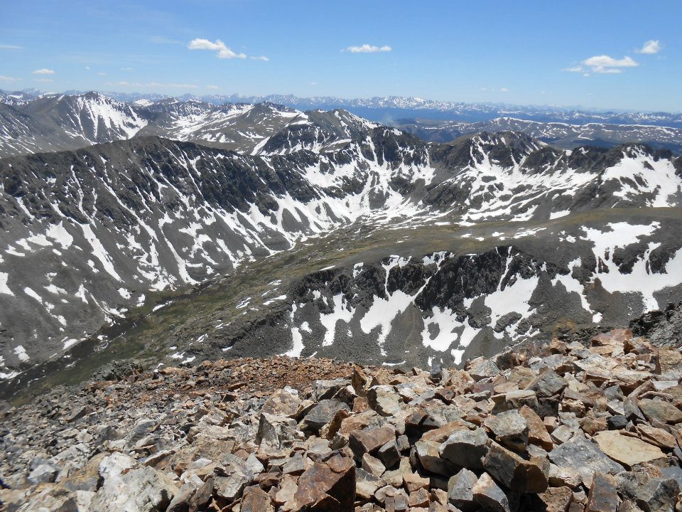
DIFFICULT climb today — our second 14er, Quandary Peak.
-
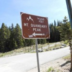
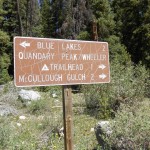
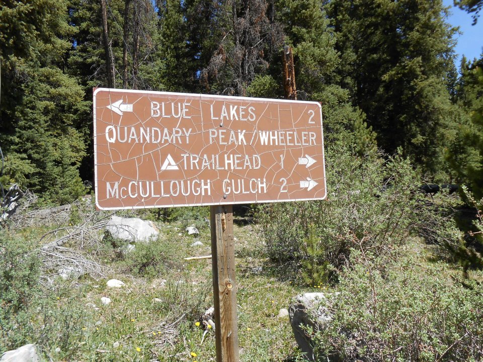
- wrong trailhead sign
-
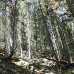
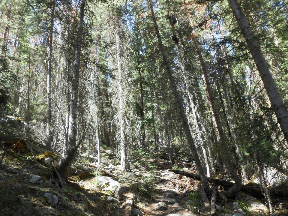
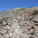
- 2 miles thru dense forest to…
-
- the ‘other’ REAL trailhead (off Blue Lakes NOT Blue River Rd, who knew?)
-
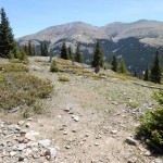
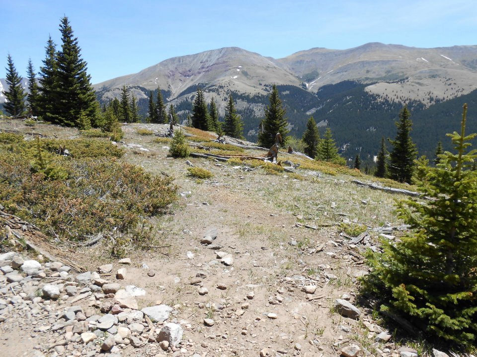
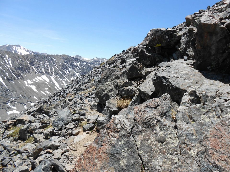
- 12,000 ft – end of the trees
-
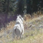
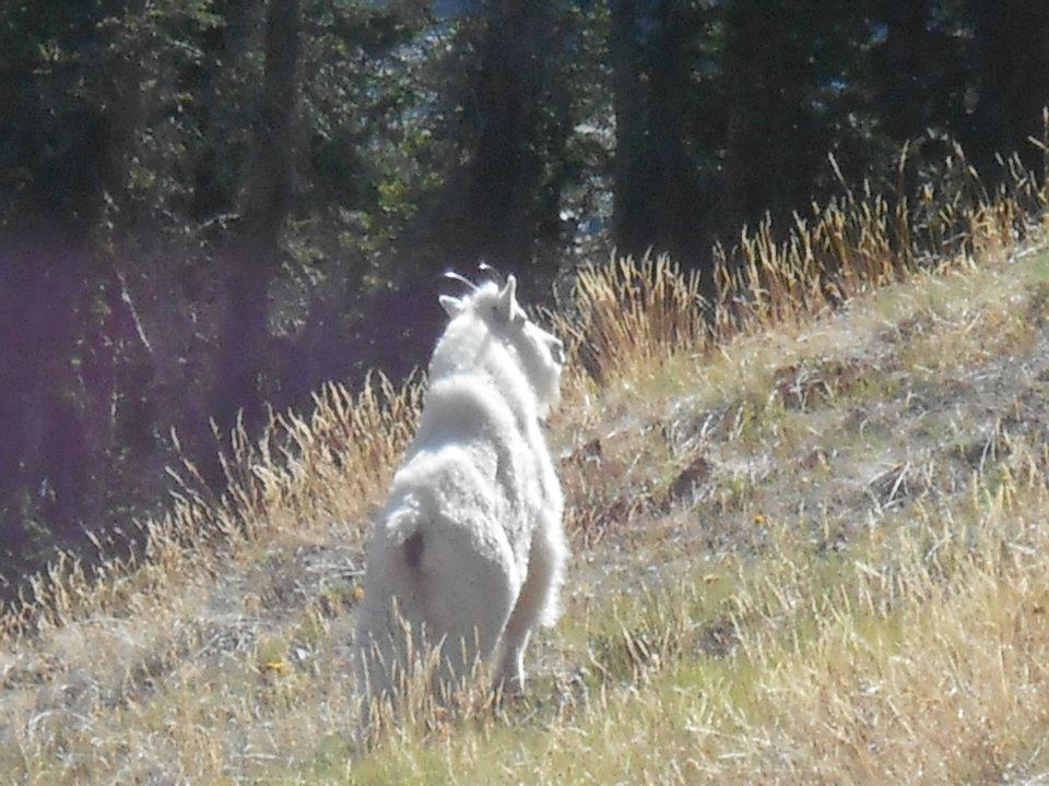
- Rocky Mountain Goat – Ro went CRAZY!
-
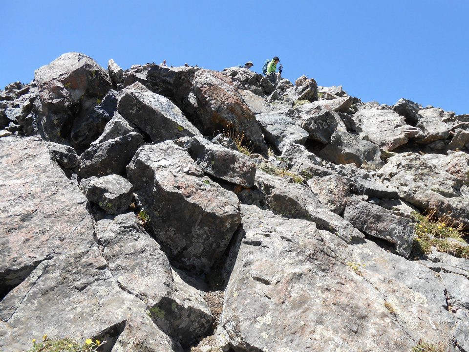
- ROCKY climb UP
-
- bigger ROCK
-
- and even bigger ROCK
-
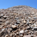
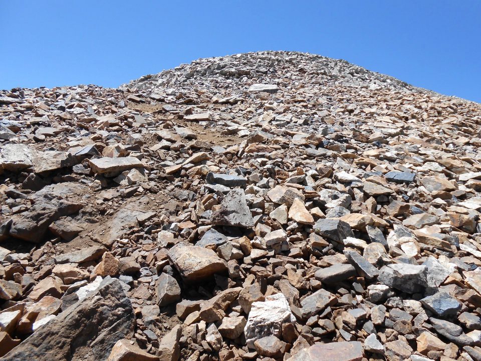
- last push to top thru loose shale (ROCK)
-
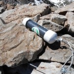
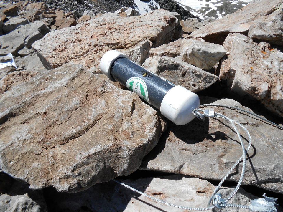
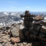
- SUMMIT log
-
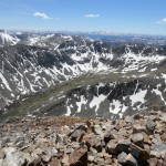
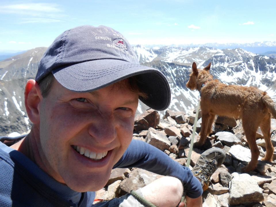
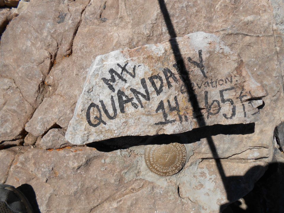
- 14,265ft view!
-
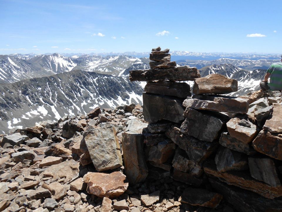
- SUMMIT Inukshuk (fell asleep here for 20 minutes)
-
- ROCKSTAR climb!