After two weeks of missing our summit targets, needed a new mountain to re-gain some ‘altitude attitude’.
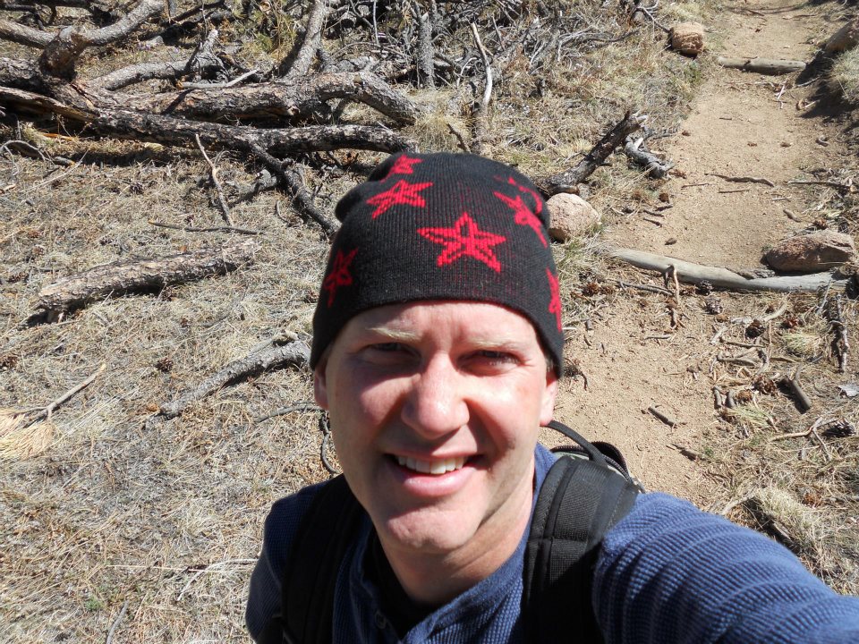
Greyrock Mountain is 20 minutes west of Fort Collins – knew it was gonna be a great hike when GPS coordinates were required to locate the trailhead. LOVE LOVE LOVE this place!
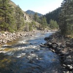
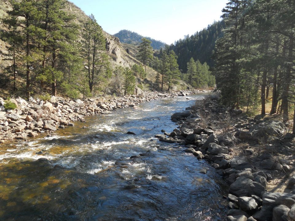
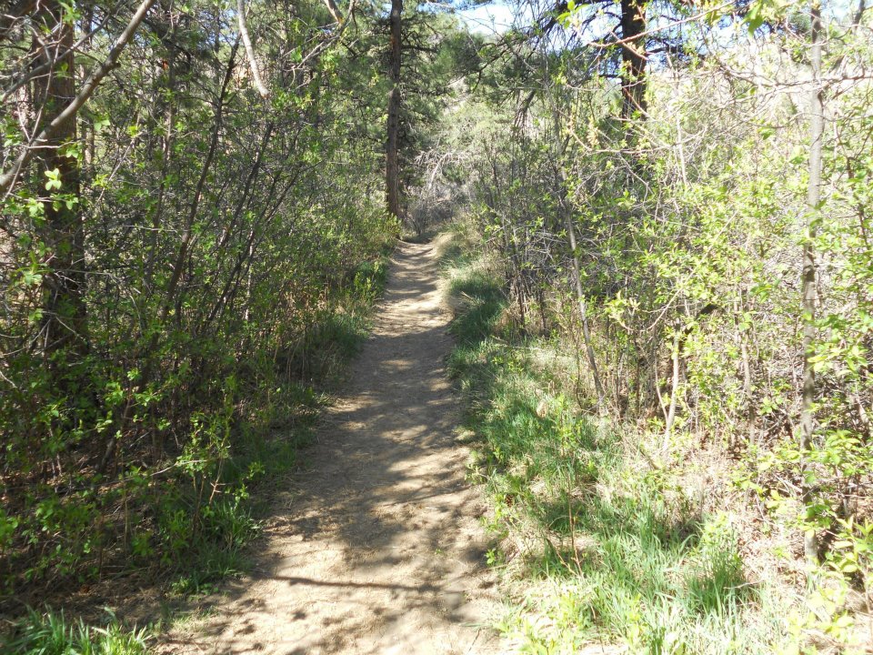
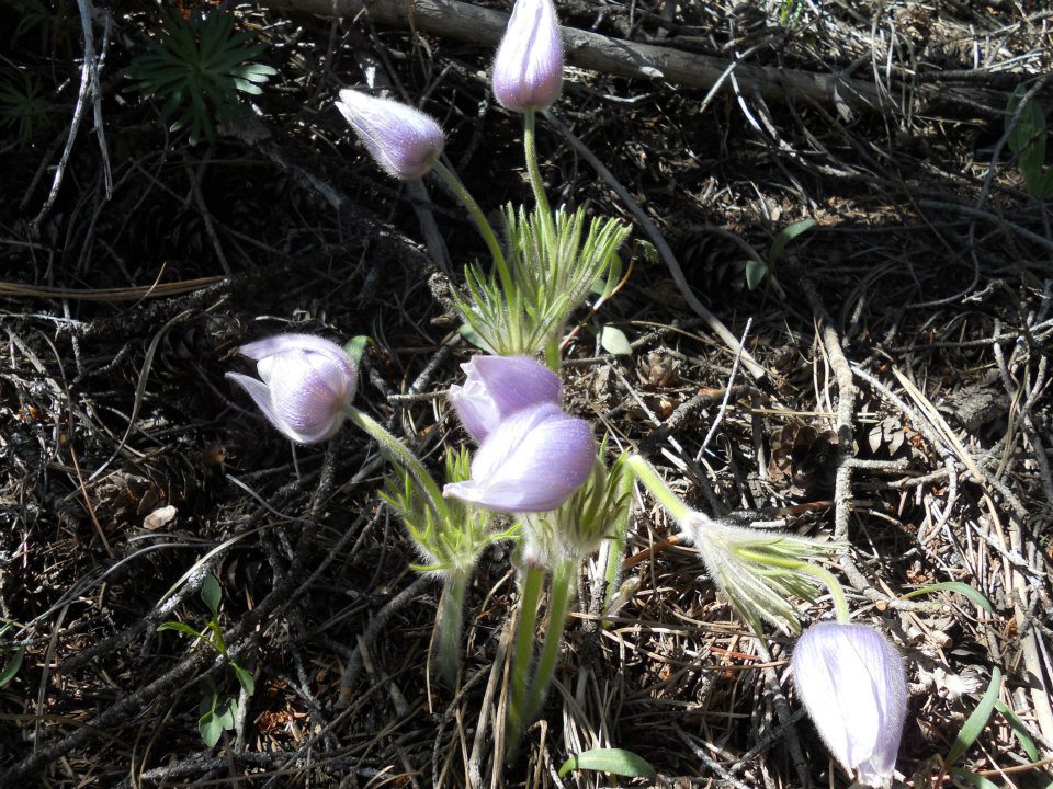
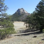
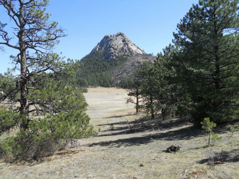
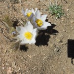
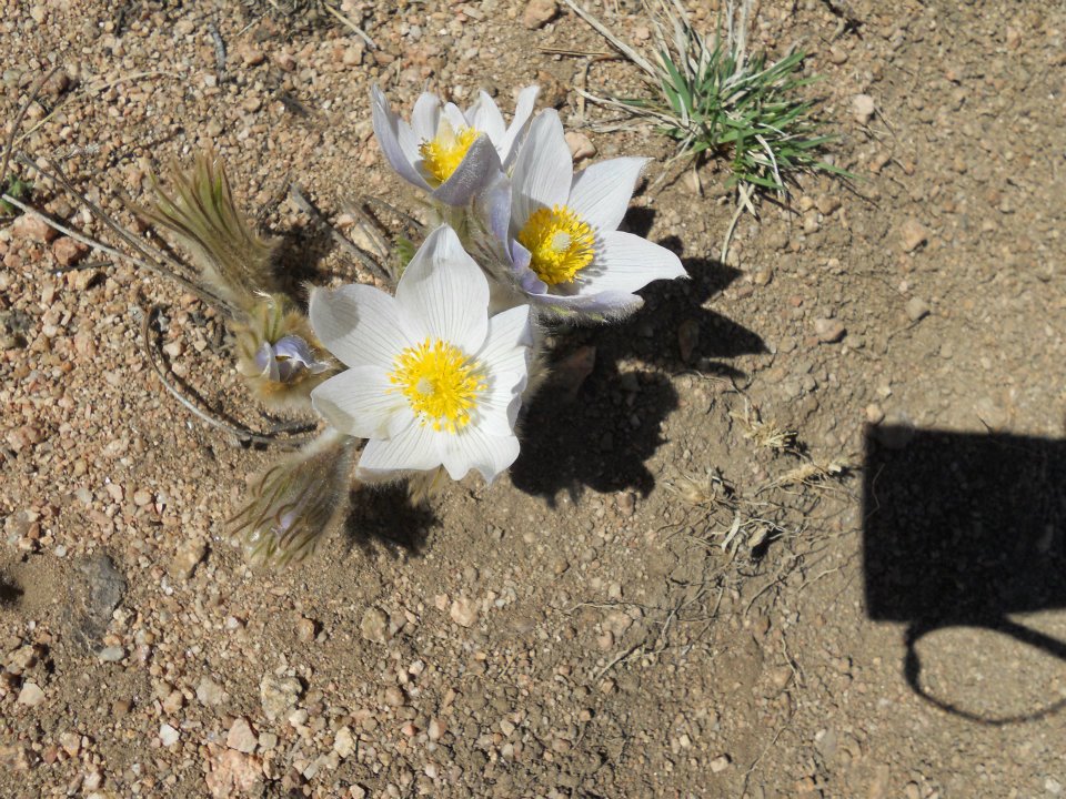
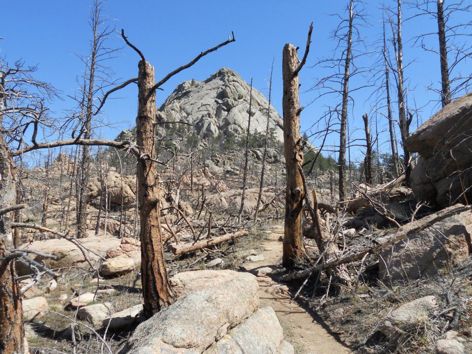
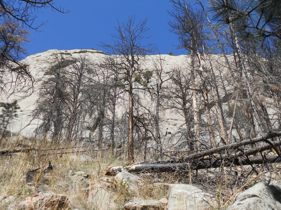
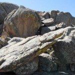
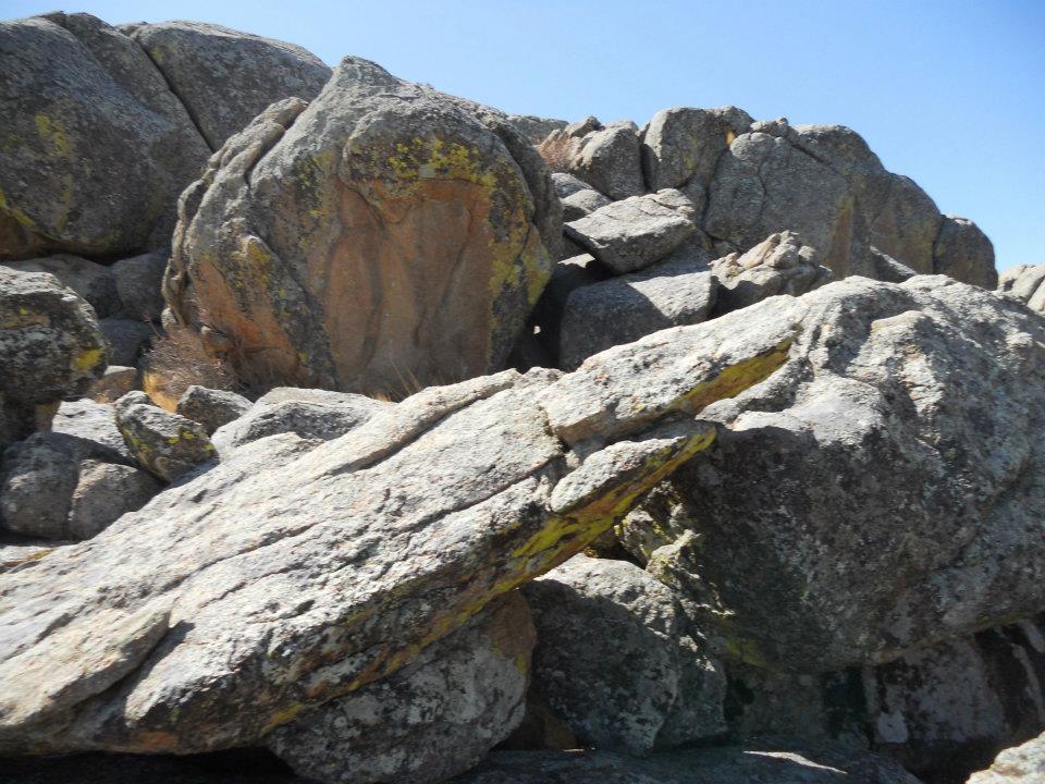
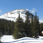
A bridge, then a lazy mountain hike spilled into Greyrock Meadow. Saw our first spring flowers poking through mountain soil, then BAM – Greyrock. Amazing how these HUGE geological wonders can stay completely hidden from view until you reach forest threshold.
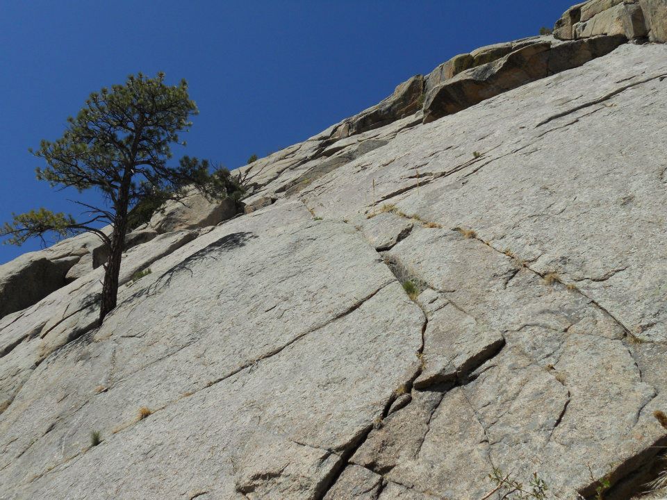
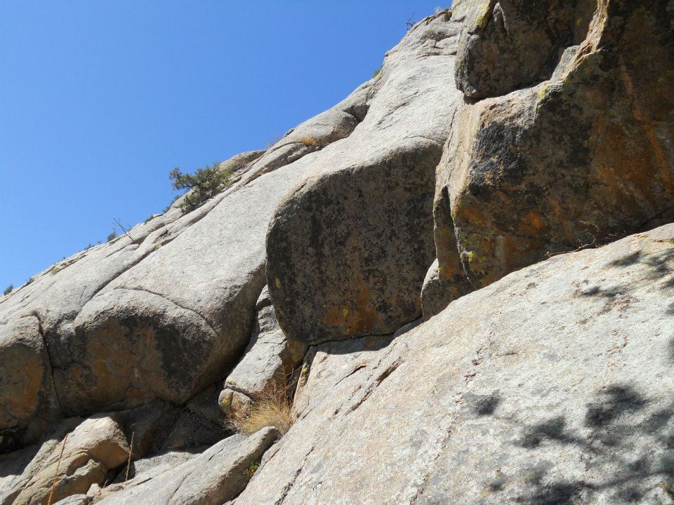
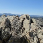
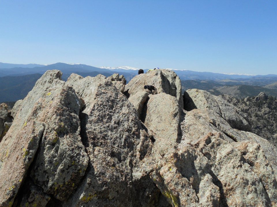
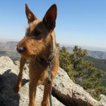
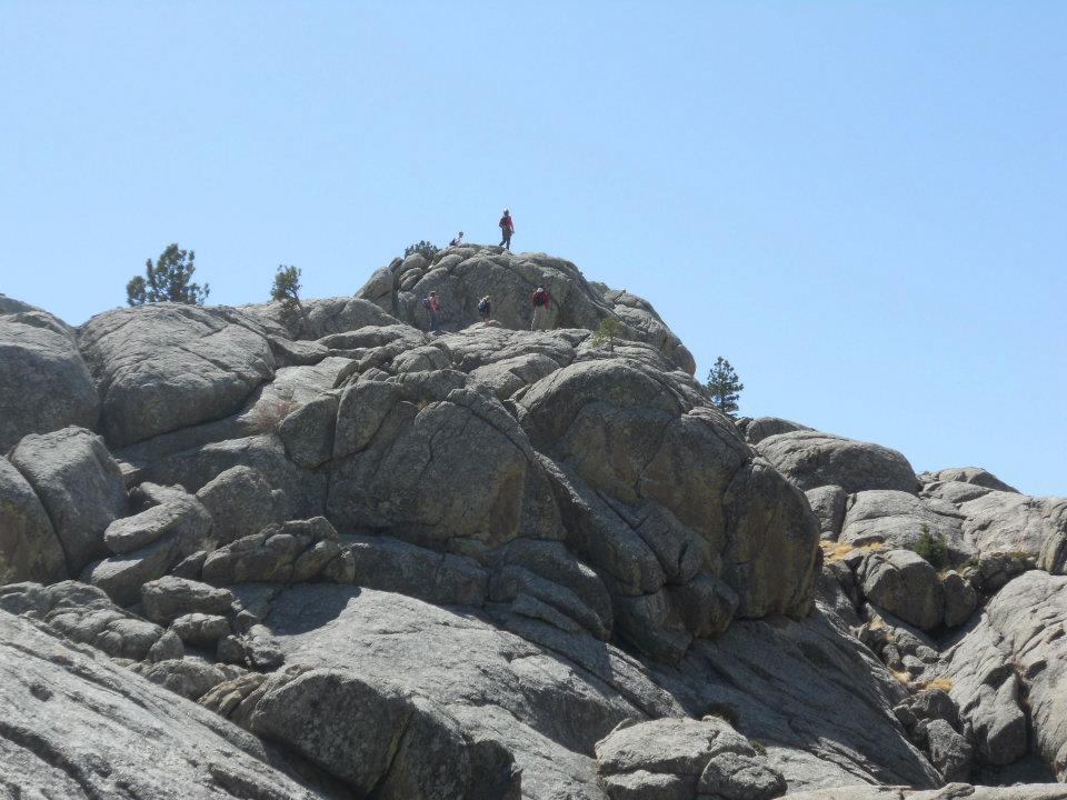
From spring meadows and ‘green’ Greyrock, we hiked to GREY-ROCK towering straight UP. Layered up, then scrambled around and created our own switchbacks – Ro was doing this climb UNassisted.
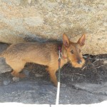
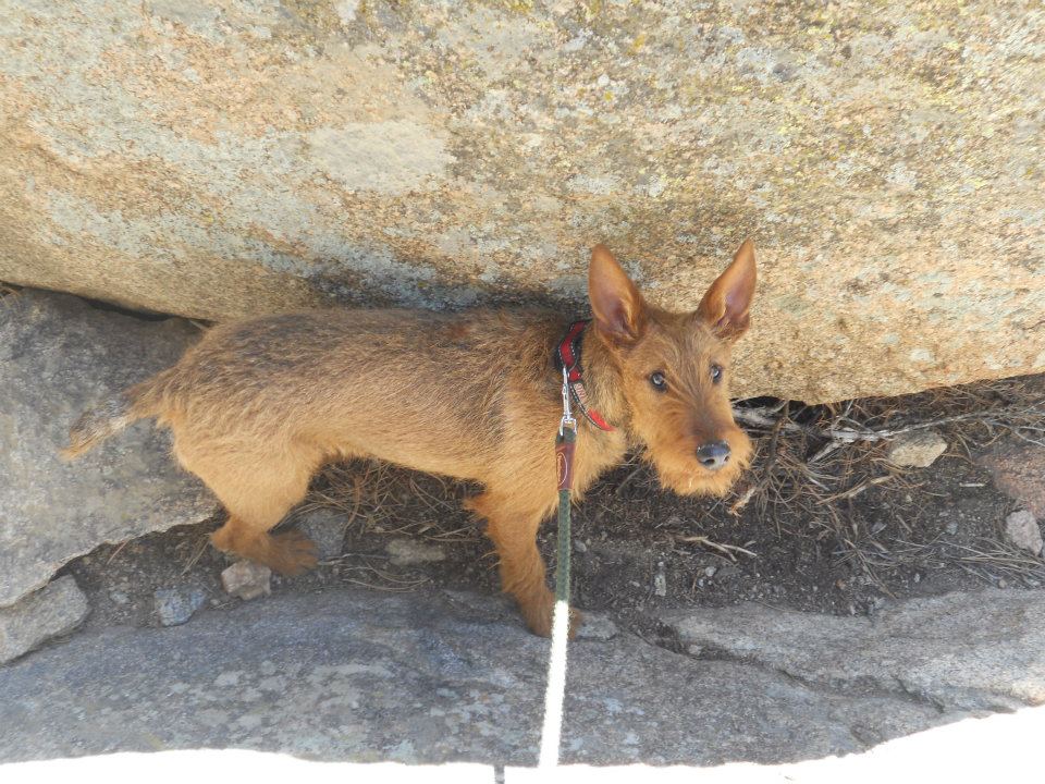
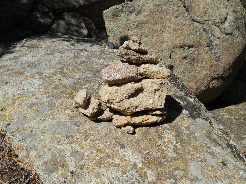
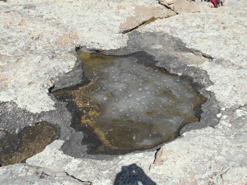
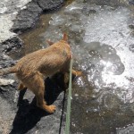
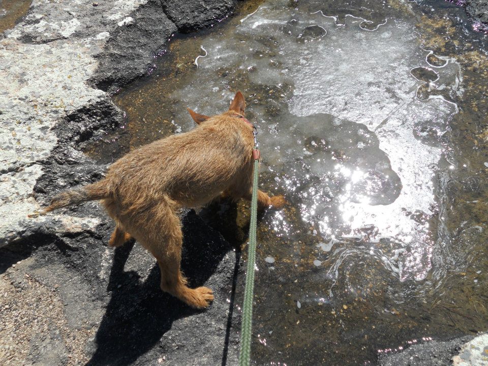
Multiple Inukshuks marked the trail UP ‘til we reached a mini-oasis of ice-water trapped on the rock basin below our summit. No more ice walks for Ro, but not quite swimming weather either — highlights our present winter/spring season break.
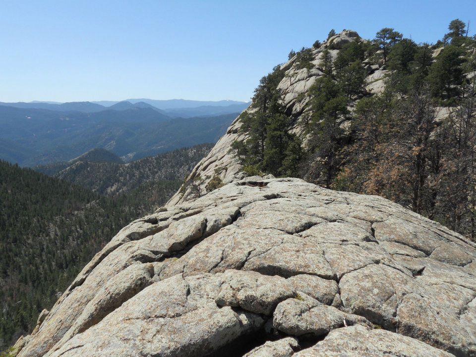
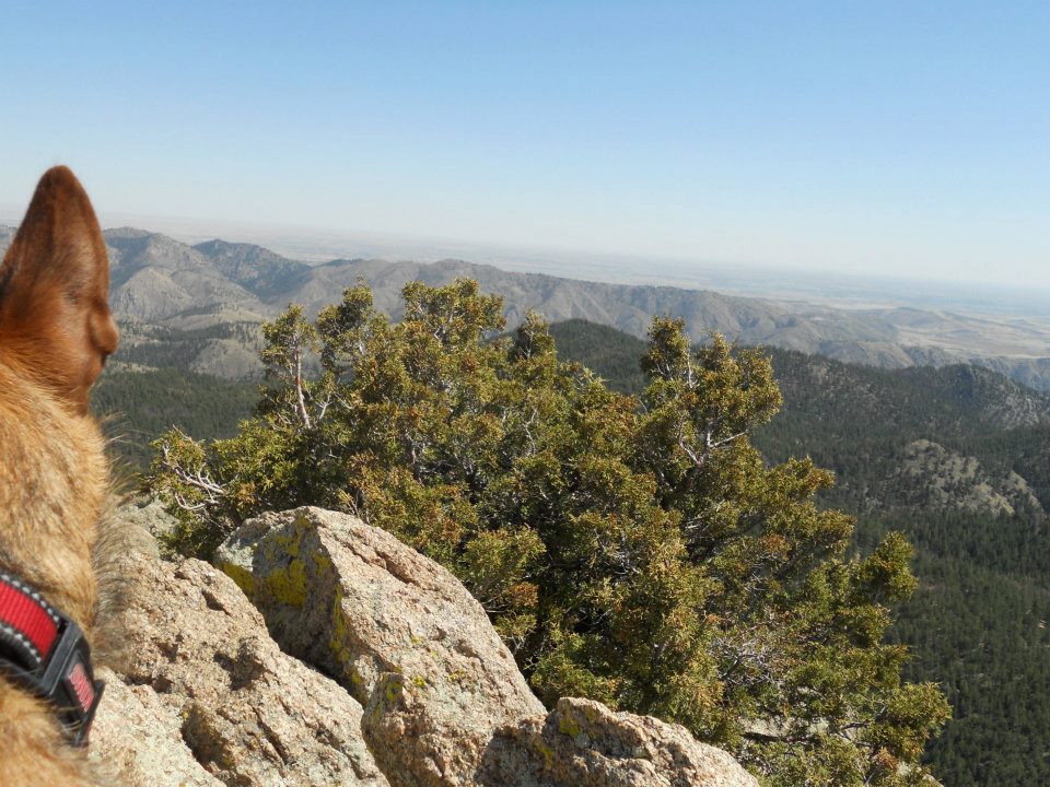
One last push to the top, then SUCCESS! Our summit drought has ended 🙂
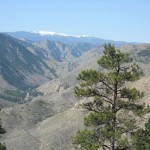
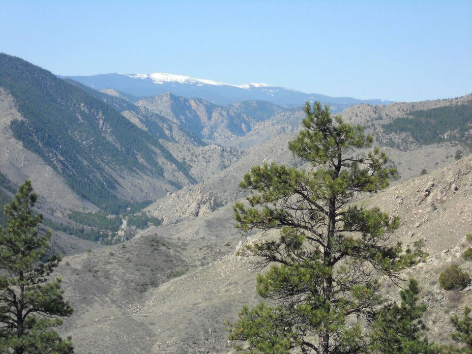
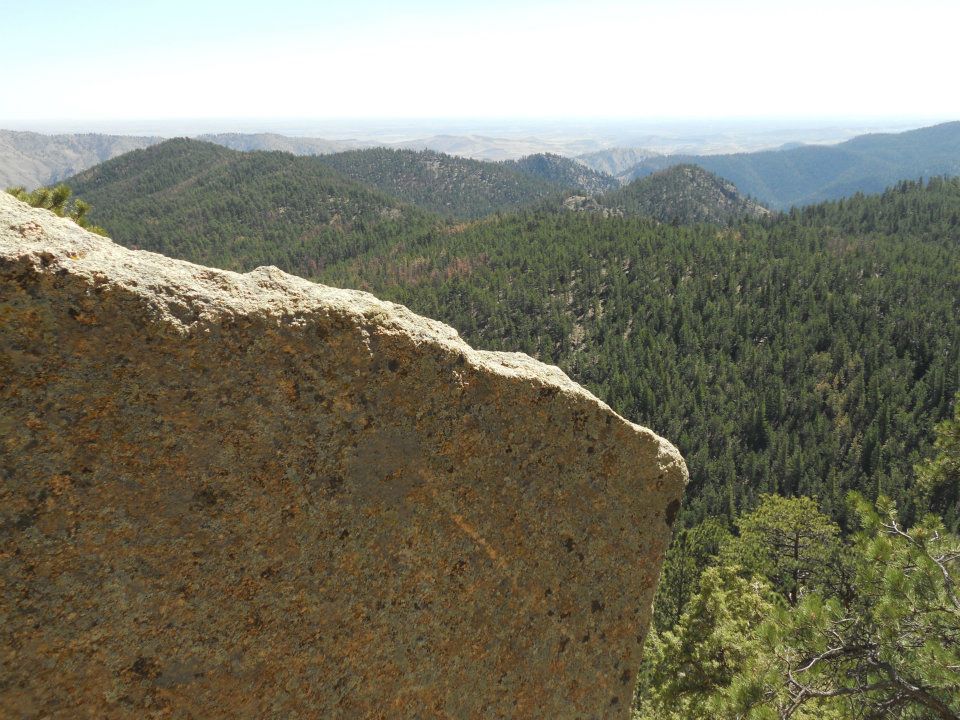
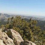
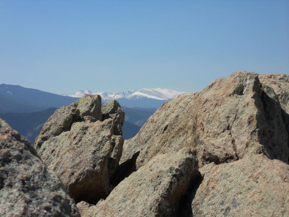
FAAANTASTIC high altitude view – why we call this HOME!
-
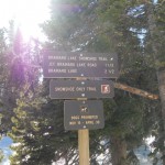
- N40 41.690 W105 17.061: Greyrock Mountain (you know it’s gonna be amazing when you plug in GPS coordinates to find trailhead)
-
- beautiful pre-Easter hike to Mountain
-
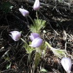
- first mountain flowers
-
- Greyrock Meadows
-
- more Easter colour
-
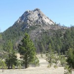
- (green) Greyrock

-
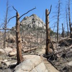
- (apocalyptic) Greyrock
-
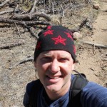
- layering up before our scramble to the top
-
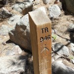
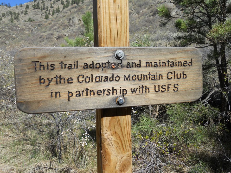
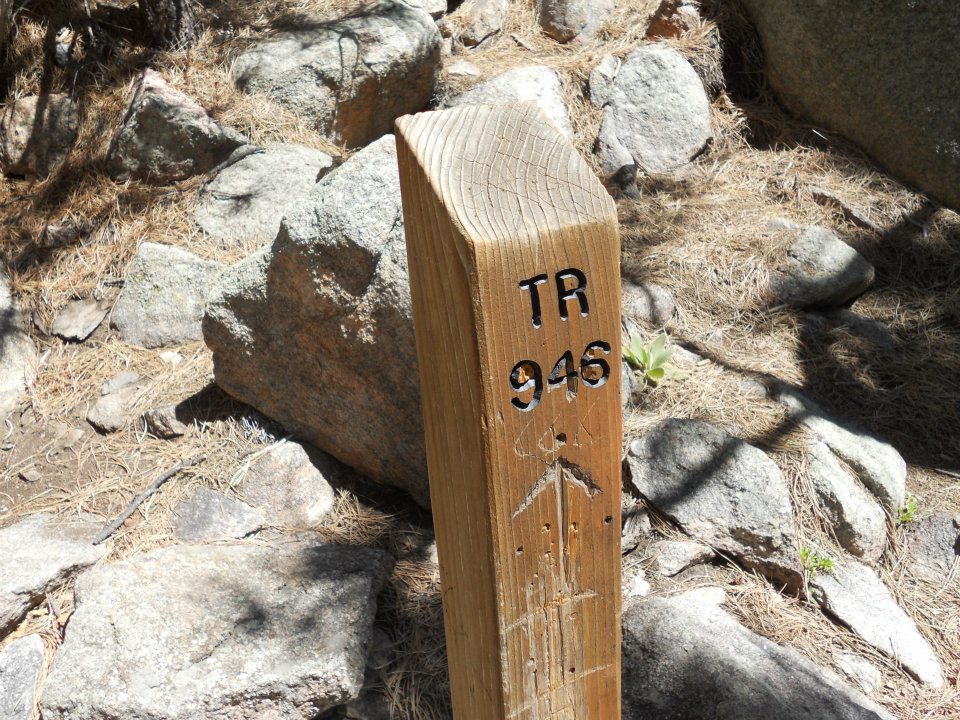
- when you drop off trail, these posts are welcome signs
-
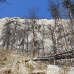
- GREY-ROCK
-
- finding his way
-
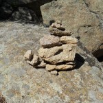
- multiple Inukshuks guide our way to Summit http://www.inukshukgallery.com/inukshuk.html
-
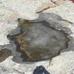
- Ro high-altitude water find
-
- mini-oasis of trapped water
-
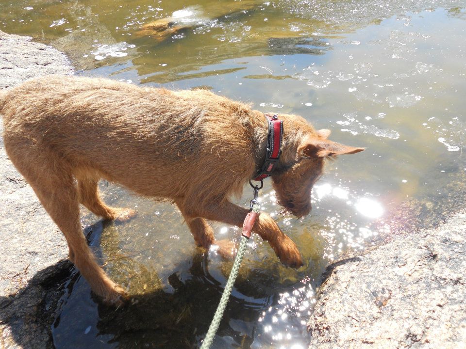
- ice water bath
-
- last push to top
-
- SUCCESS!
-
- quiet, peaceful & spectacular
-
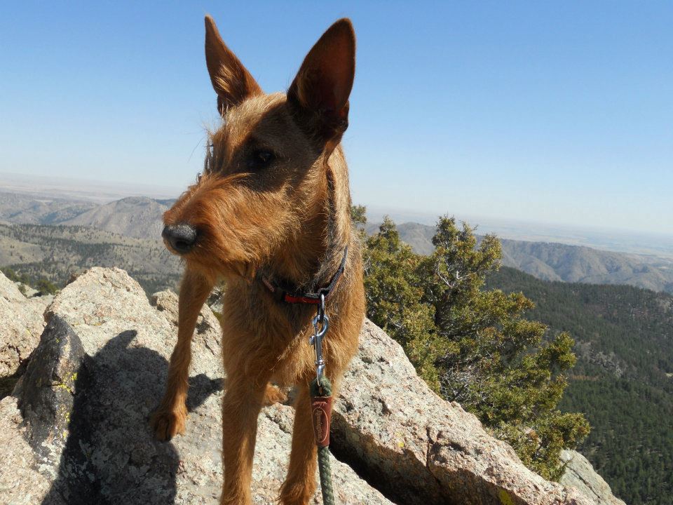
- Ro cam
-
- Summit Farewell http://www.youtube.com/watch?v=LR4j8iWu-OI
Hour and half drive to trailhead but think I have my pre-Easter hike set!
Quote Clincher: “If you chose to summit Grey Rock mountain know that the last part of the trail is fairly difficult and is more of a rock scramble than a hike but the views at the top will blow your mind!”
365 things to do in FORT COLLINS: Hike the Grey Rock Trail!
Decided it was finally time – Ro’s 1st high altitude hike!
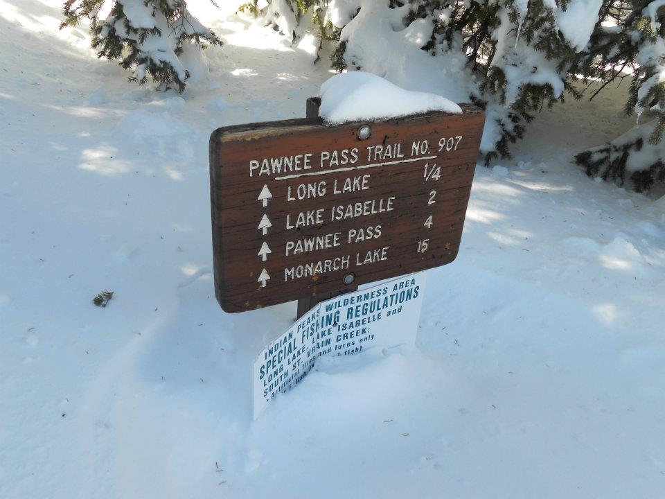
Did my online research and settled on Lake Isabelle – part of Indian Peaks Wilderness. Although our Colorado sun evaporated precip from all local roads, ice and patchy snow fast became the norm on the climb to Brainard. Elevation increased past 8,000 ft and the snow deepened. Enter ‘Ward Colorado’ – the town that time forgot…er, shanty town. One road through town – snowmobile traffic on all dirt road offshoots. Additionally, saw more abandoned (roadside) trucks and campers than could be counted on 2 hands.
All roads close shortly past Ward, who knew? 🙁
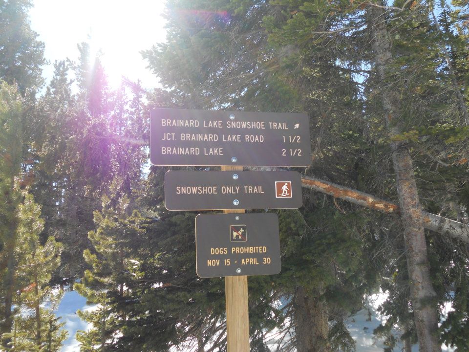
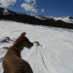
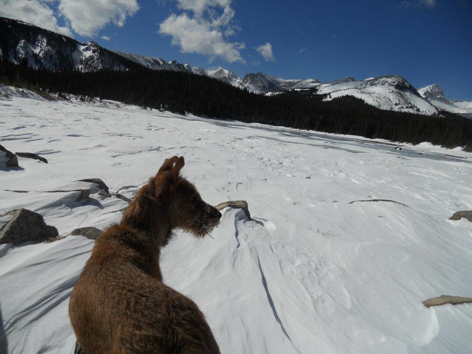
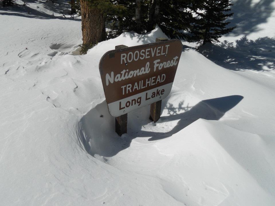
5 miles in to Brainard trailhead, we saw our first sign prohibiting dogs from Nov-April. Seriously…after a 5 mile hike? Who’s gonna patrol today? Hmmm… And lucky for me I left my snowshoes safely stored in the front hall closet. Argh! That said – what a beautiful Colorado day! Snow, sunshine and brisk low-oxygen air – can’t help but smile. LOVE LOVE LOVE this place! 🙂
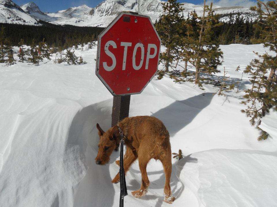
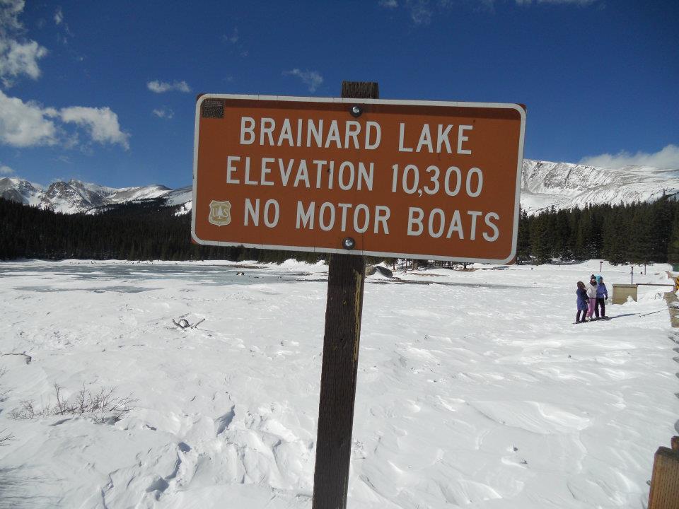
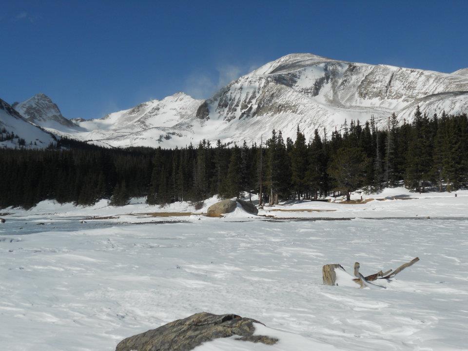
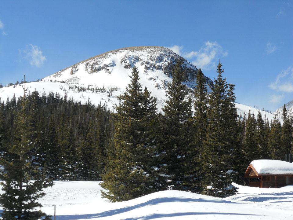
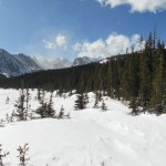
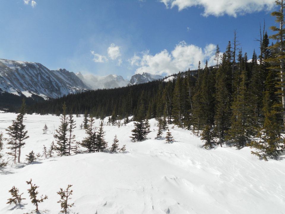
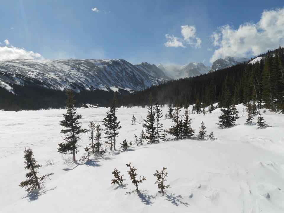
Brainard Lake, then Long Lake, then Lake Isabelle. Lake Isabelle….hmmm. The trail to Brainard was arduous but not impossible, thanks to ski tracks left by previous travelers. Brainard Lake 10,300 ft – a WOW moment!
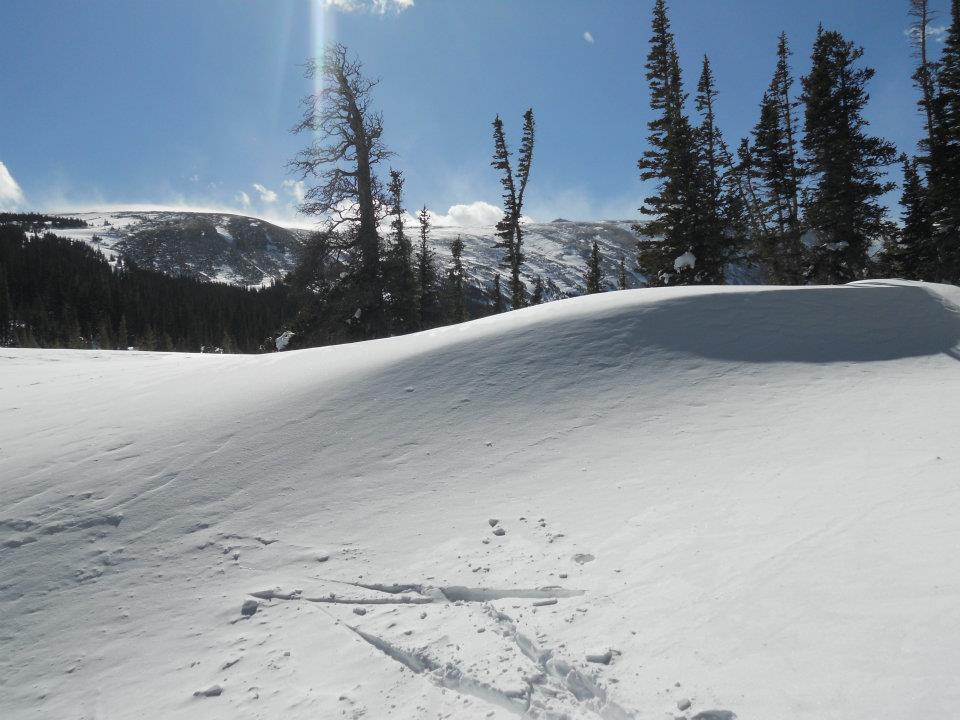
Brief lunch break, then Ro & I start the trek to Long Lake. Literally FEET of snow ahead – where are those snowshoes? Frozen pants, short breaks to clear ice-build up on puppy’s paws and snowscaped parking lots. Blue diamond markers now also snow-covered — ranger ski tracks through the woods become our only point of reference.
Wind, cold, stillness. Completely alone on this hike.
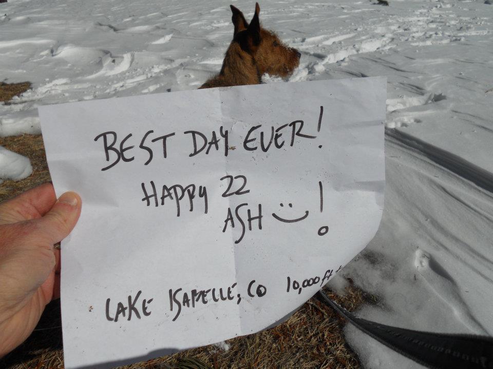
Our hike ended not far past the last ranger tracks at Long Lake. Quick pose at Brainard to commemorate Ash’s 22nd birthday – then homeward bound and 11 hours of solid sleep. Who needs a dog park?
-
- No what allowed? Argh. Wasn’t spelled out on protrails.com so…Rowan is exempt. PLUS we already hiked 5.2 miles to this point. Protrails didn’t account for closed roads in winter. Double-argh.
-
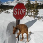
- In theory we were driving past Brainard & Long Lakes and hiking to Lake Isabelle. Roads ended just past Ward, CO.
-
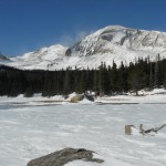
- FANNNTASTIC!
-
- Super windy up this high – check out the snowscape.

-
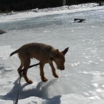
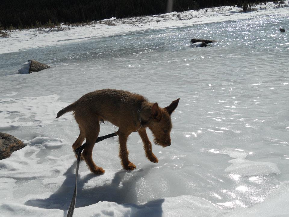
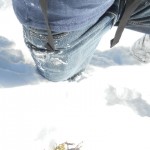
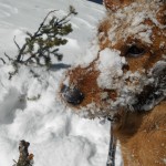
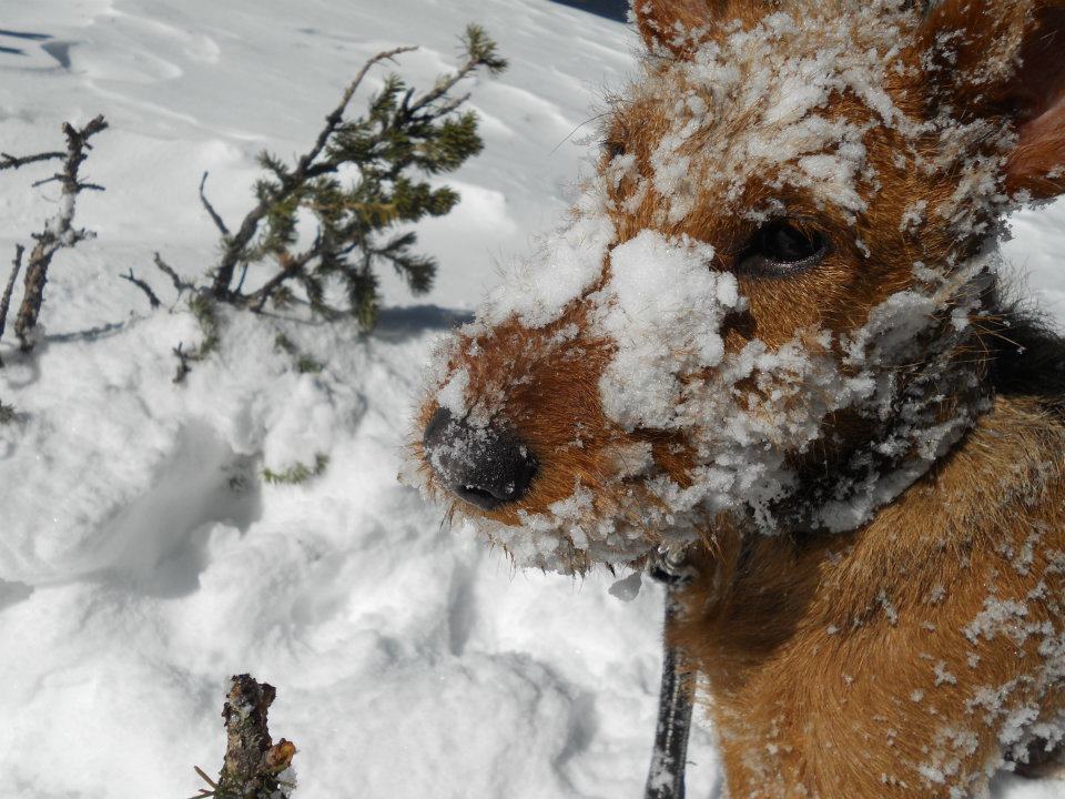
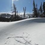
- Ro walking on ice – 8th consecutive week!
-
- MedicAlert – I’m stuck! Does the bracelet come with a beacon? I’m cell phone free now…what would MacGyver do?
-
- Lucky for me, snowshoes are safely stored in my front hall closet.
-
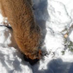
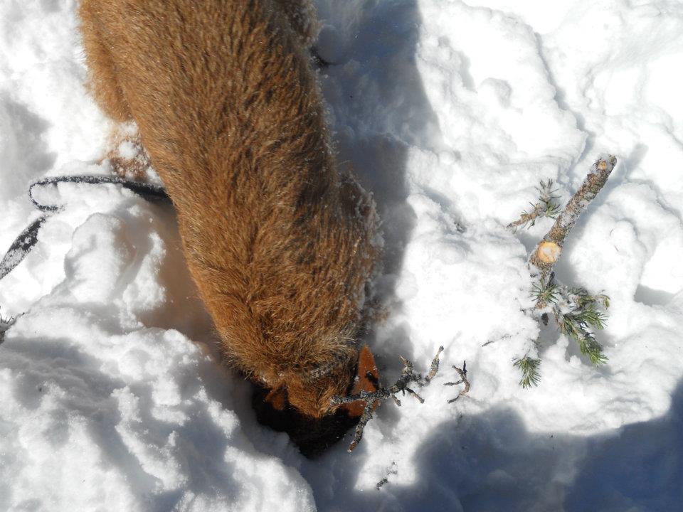
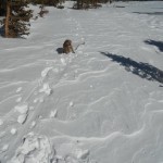
- Dig Ro, dig!
-
- Camouflage
-
- Trailhead parking lot…LOL.
-
- Ranger ski marks end here…oh no. Been following Blue Diamond trail marks but ski trail was much more visible.
-
- Long Lake under many many feet of snow: Reason #106 why we call this HOME!
-
- Yes Ro we can go home 🙂
-
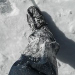
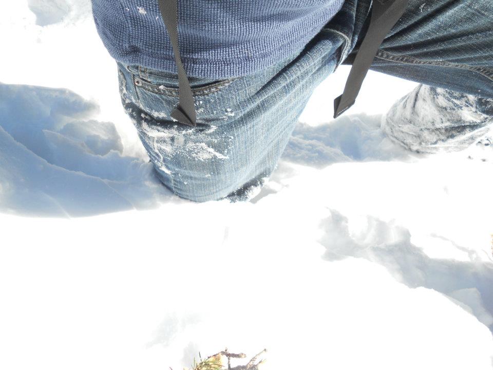
- Who knew pants freeze? Heavier travel…generally leave my ankle weights at home.
-
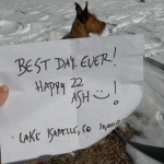
- BDay greetings from Brainard (Lake Isabelle will have to wait ’til Spring)!
-

- 11 hours of sleep later and still seeing sun & wind (in my face – LOL)