Still under the weather with (smoke-related) bronchitis and would have stayed locked indoors had it not been for my New Year’s pledge. Soooo very last minute on Sunday morning, I fast-n-furious scoured for a weekly hike. I remember a lady at my local dog park once mentioning Lake Dorothy as challenging – today’s destination Lake Dorothy, elevation 12,061 feet.
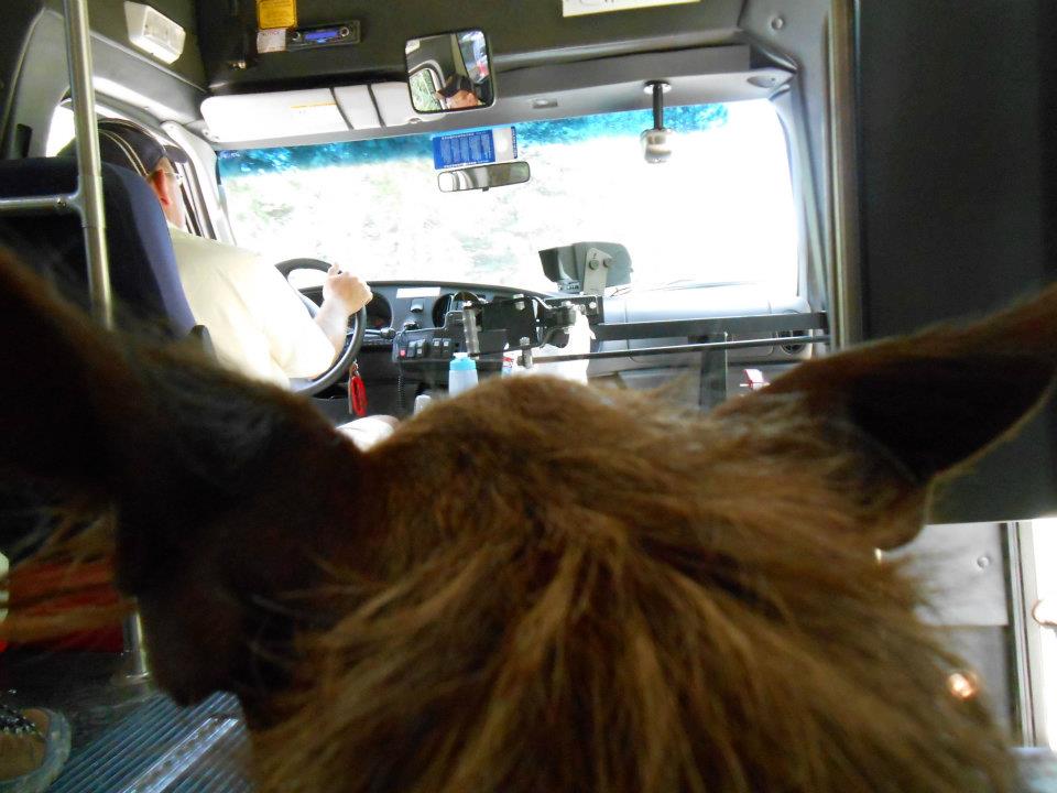
Didn’t arrive in Nederland until 10am on a sunny summer day morning – so the place was packed, no parking to be found. Parked and started the 2 mile hike to ‘4th of July’ road. Lucky for us, a bus stopped and asked if we wanted a ride. Sweet, huh? From the bus drop-off point, sign read 4 miles to ‘4th of July’ trailhead. Ugh ’cause I remember the hike being 7.3 miles roundtrip from the trailhead. Go big or go home — today’s hike was gonna cure me (with a rush of happy endorphins) or kill me.
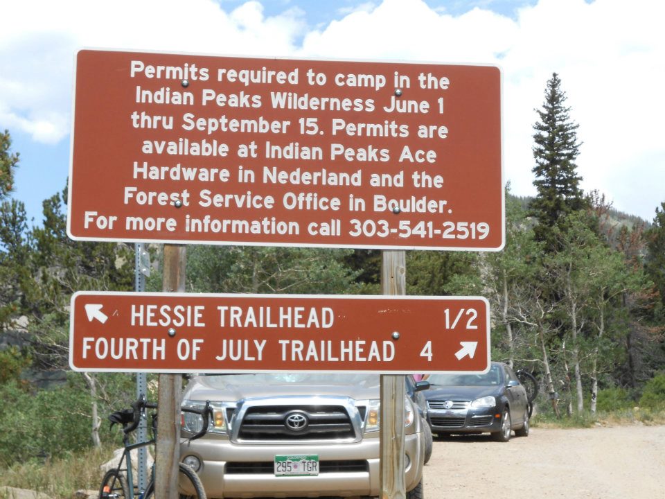
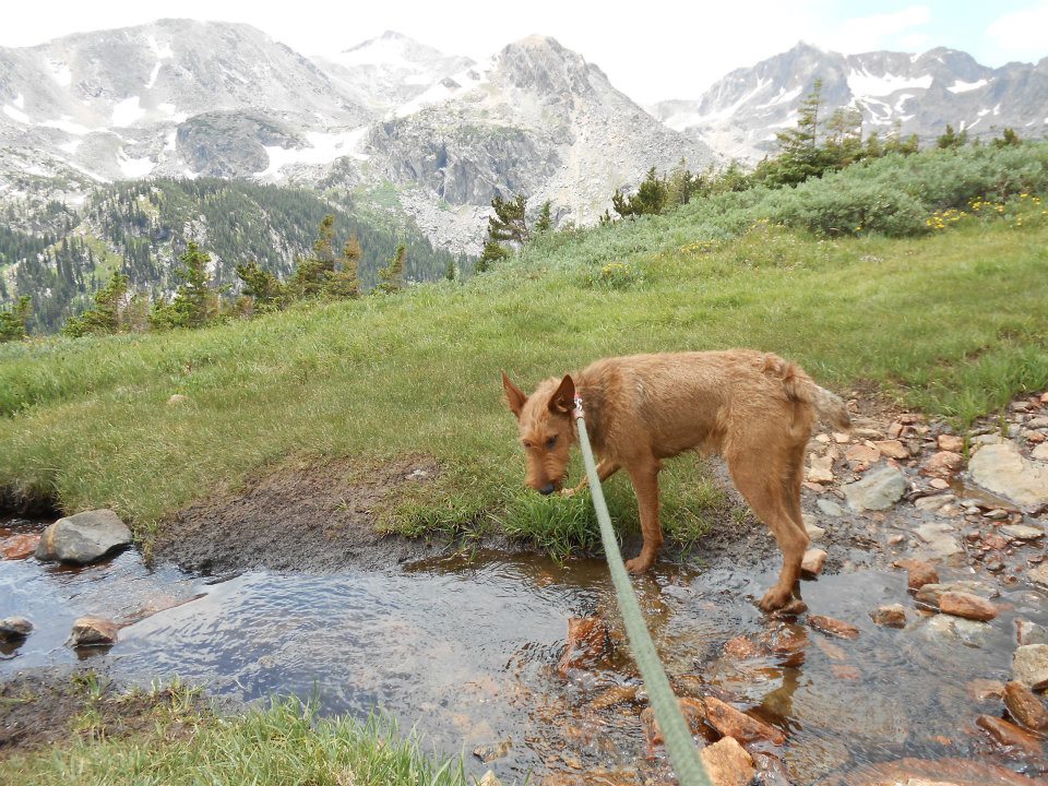
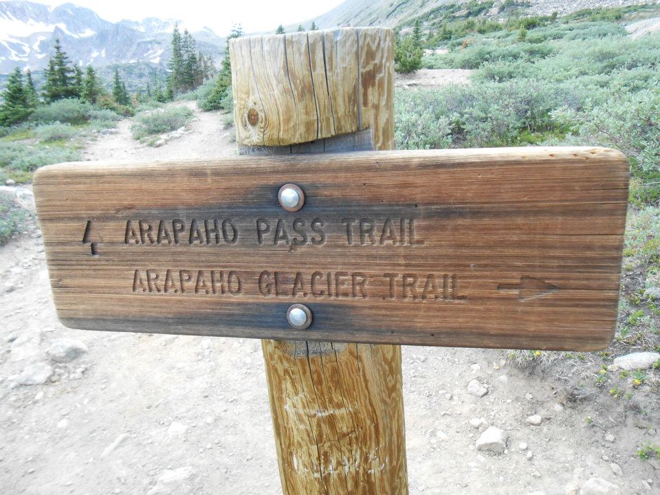
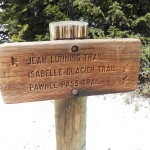
I’m ‘all in’ and focused on banging out these first 4 miles as soon as possible. The road hugged a large rushing river so Ro enjoyed two water/swim breaks – all before we ‘technically’ started today’s trail hike. Unfortunately my notes were kinda sketchy but knew Arapahoe Pass Trail was the initial trail choice to Lake Dorothy once we reached the trailhead.
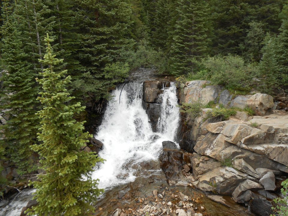
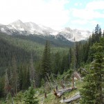
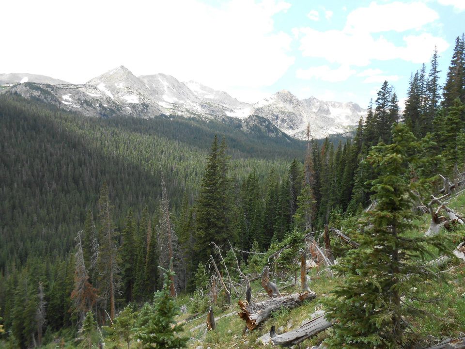
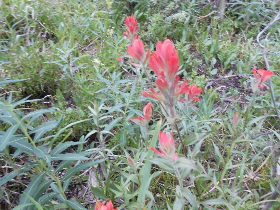
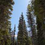
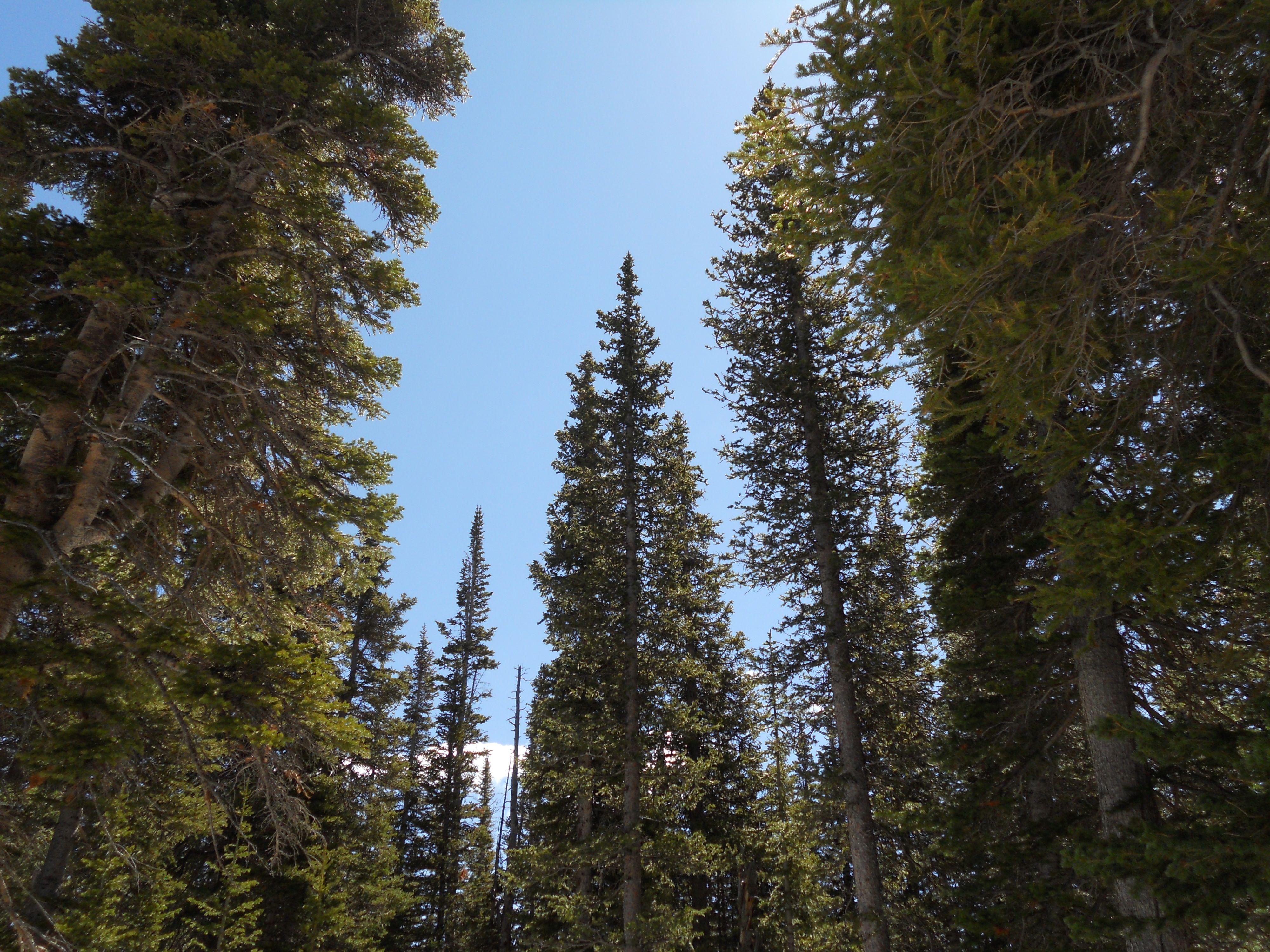
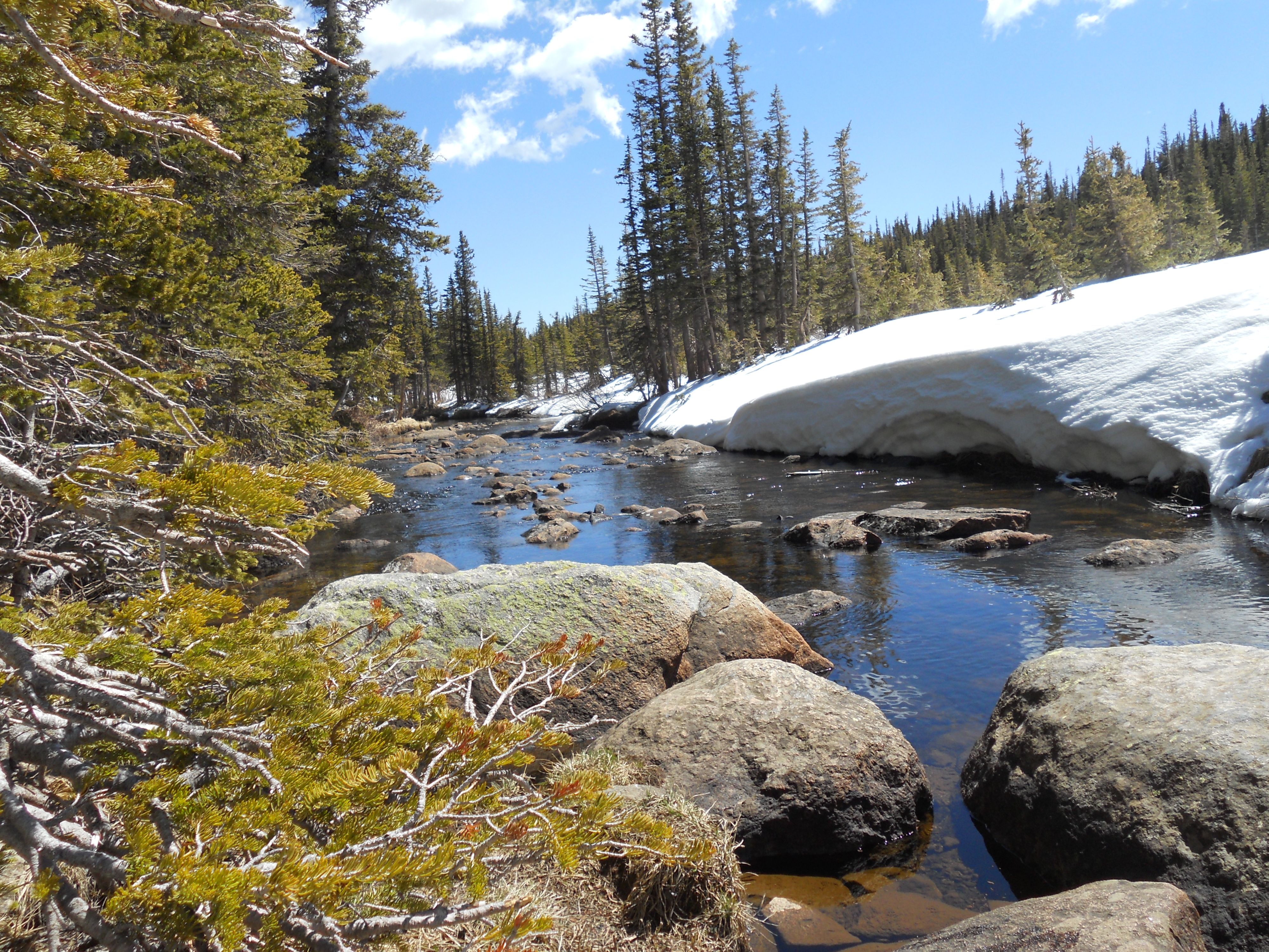
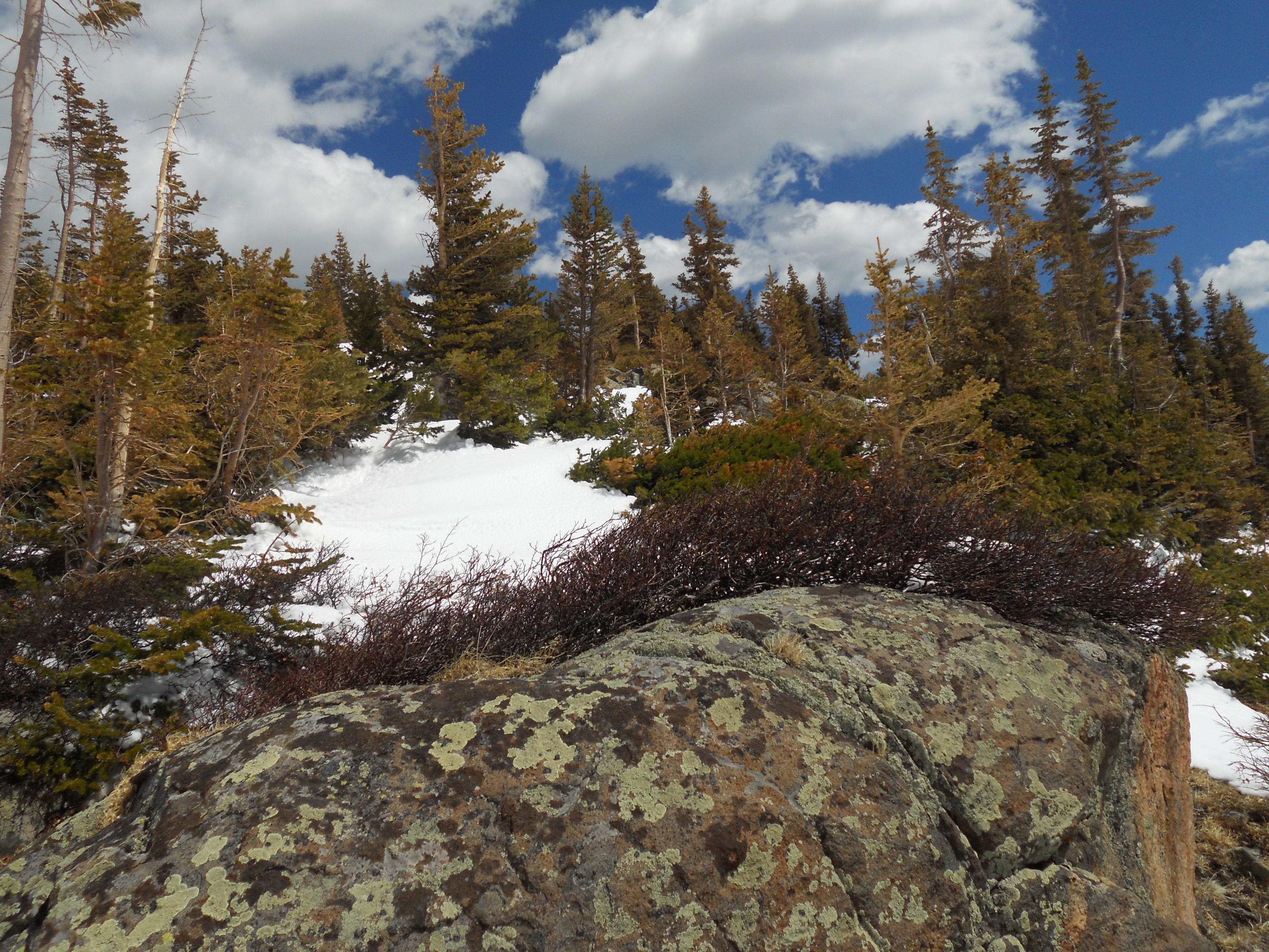
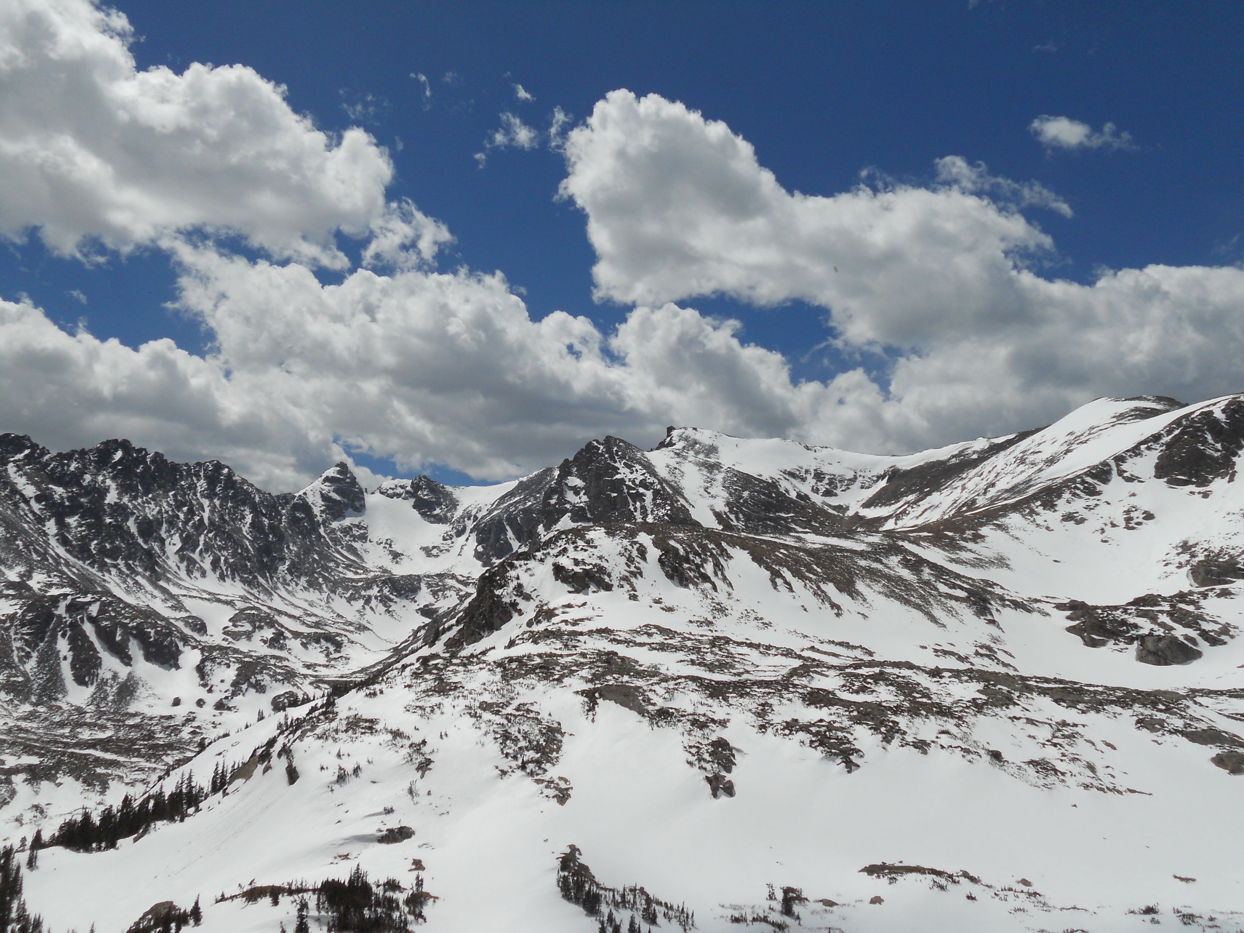
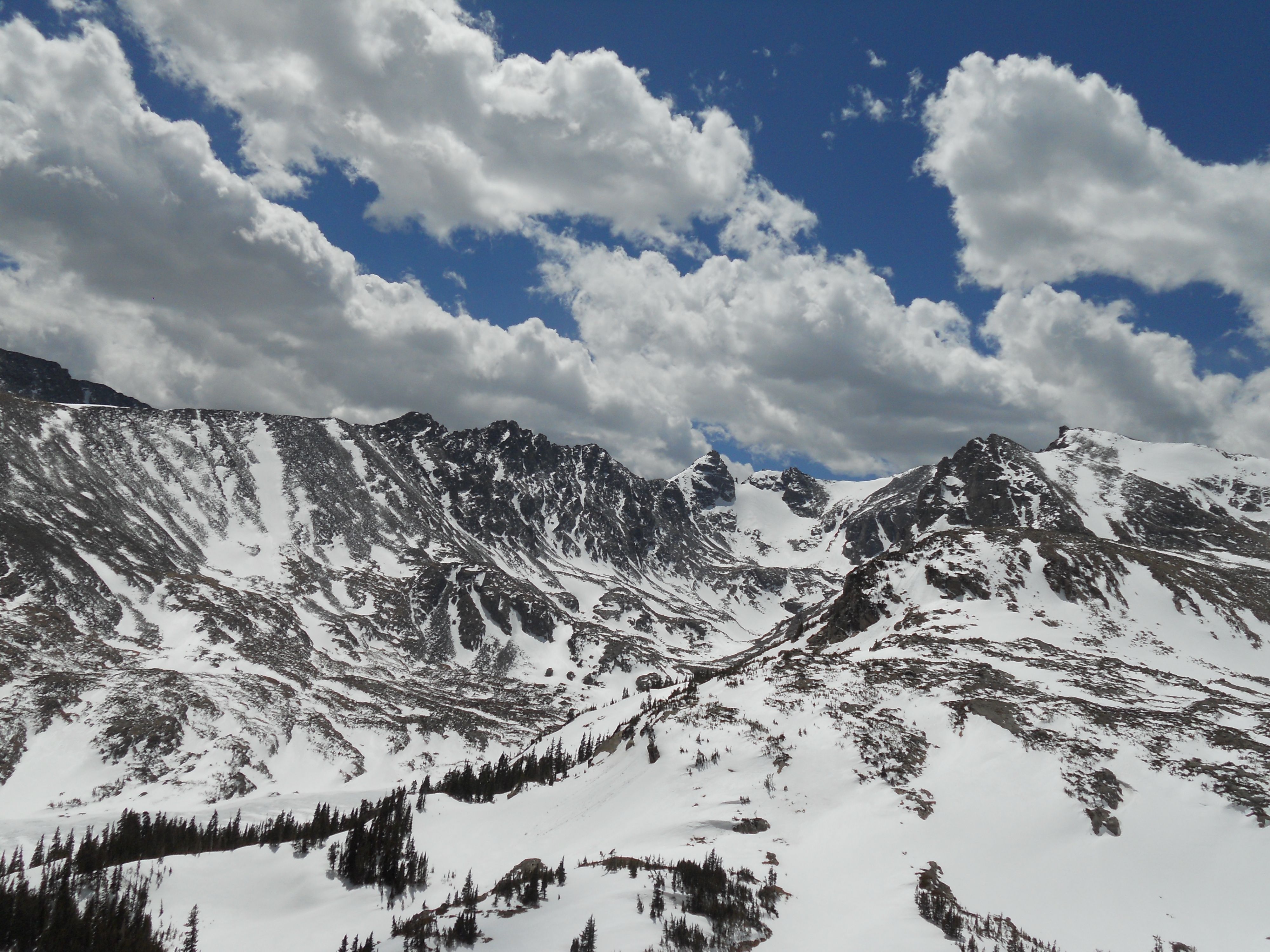
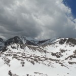
The MOST wildflowers year-to-date of any hike we’ve done. All ROYGBIV rainbow hues represented – fed by mountain streams which created 2 healthy waterfalls both intersecting our hike – beautiful! The climb ascended into a green valley surrounded by glacier-riddled mountains. Colours were all so vivid – like being interposed into a Ravenswood jigsaw puzzle of the Swiss Alps. W-O-W!
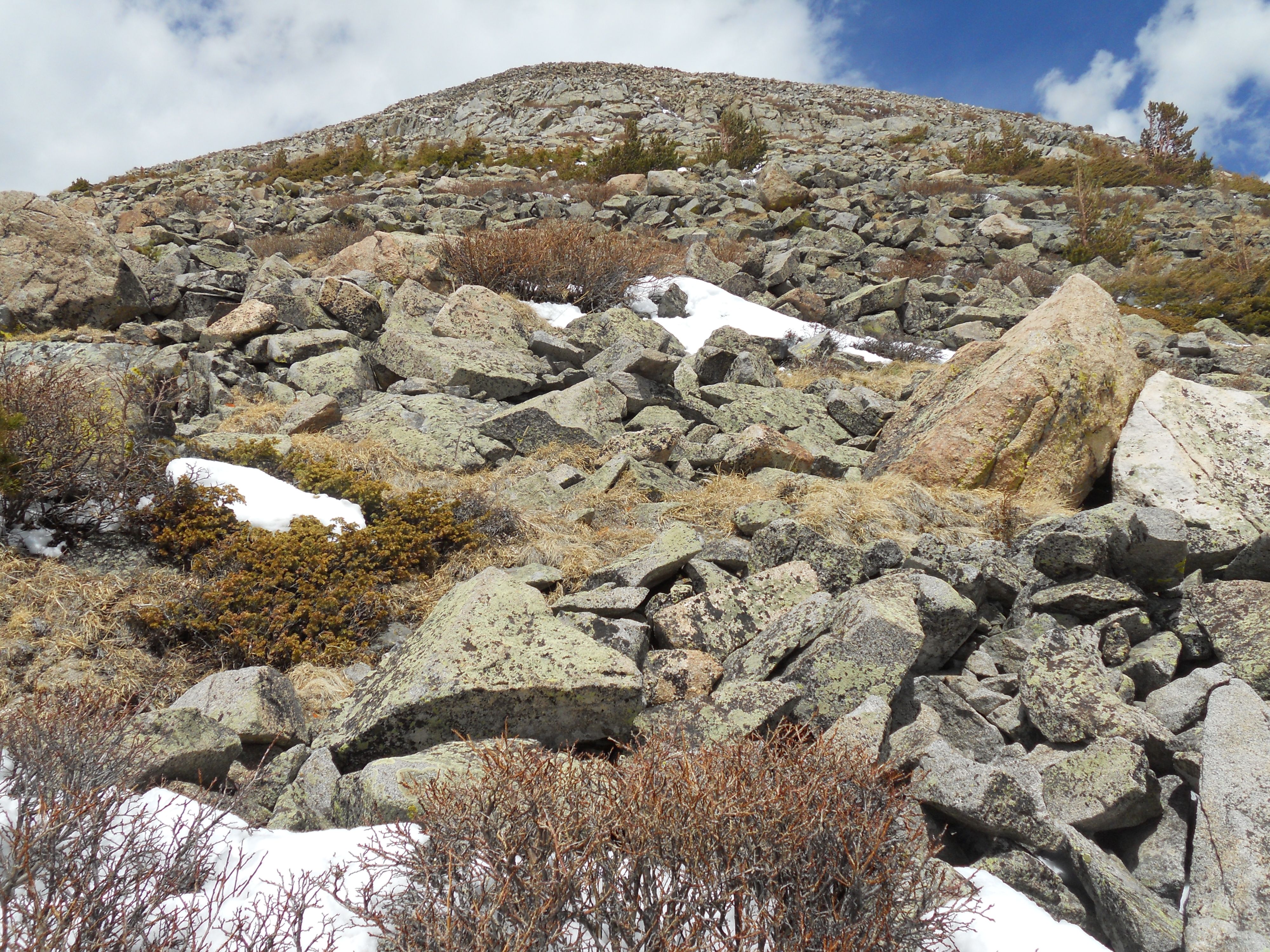
So I’m now 6 miles in after the bus ride and make a HUGE directional mistake – taking Arapahoe Glacier trail at the 2-mile junction. This trail led Ro & I across a tundra marsh and then up a series of switchbacks up the base of Mount Neva.
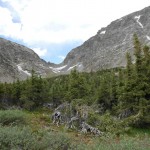
The trail moderates through a broad krummholz flat (1.65 miles : 11,110′) to the Arapaho Glacier Trail split (2.05 miles : 11,236′), and continues past the historic Fourth of July Mine into open tundra. The trail is well-defined but markedly rugged once above treeline.
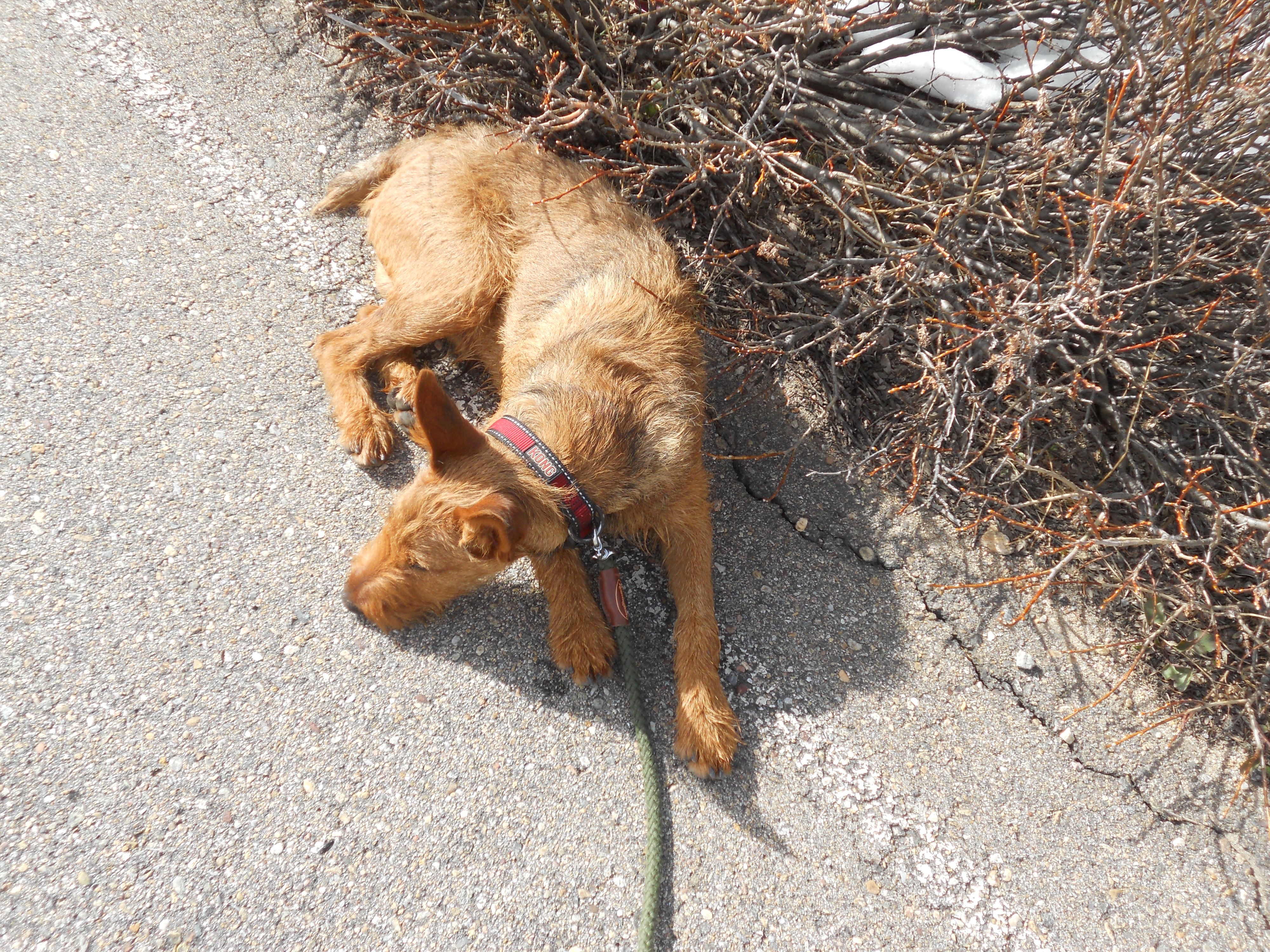
A mile and half into this trail we see our first hikers, who confirm we are on the wrong trail. Disappointing. Altitude made my lungs ache for air – bronchitis creating an asthmatic reaction. Time for a lunch break. Two bites of bean burrito and whoof – I empty my stomach like an East Coast tourist. I catch 20 minutes of zzz’s on a large rock and contemplate the meaning of life.
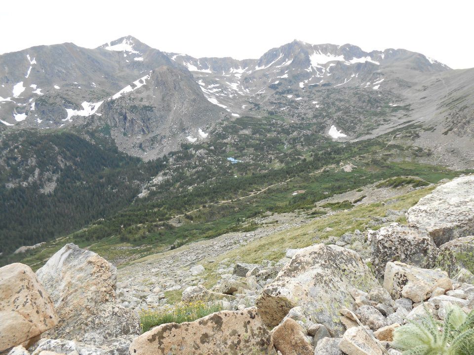
Do I hike back and then another mile and half in the other direction to see Lake Dorothy? OR (after doing the math) do I focus on just getting back: 1.5 miles + 2 miles (to trailhead) + 4 miles (to 4th of July road) + 2 miles (to Nederland)?
I take the losers’ ‘tude this day and head home 🙁 Leaves me with unfinished business for another day – maybe 4th of July week…seems appropriate [this hike] starting from 4th of July trailhead.
-
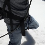
- free bus ride from Nederland
-
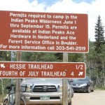
- then a 4-mile walk to trailhead
-
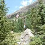
- USA!
-

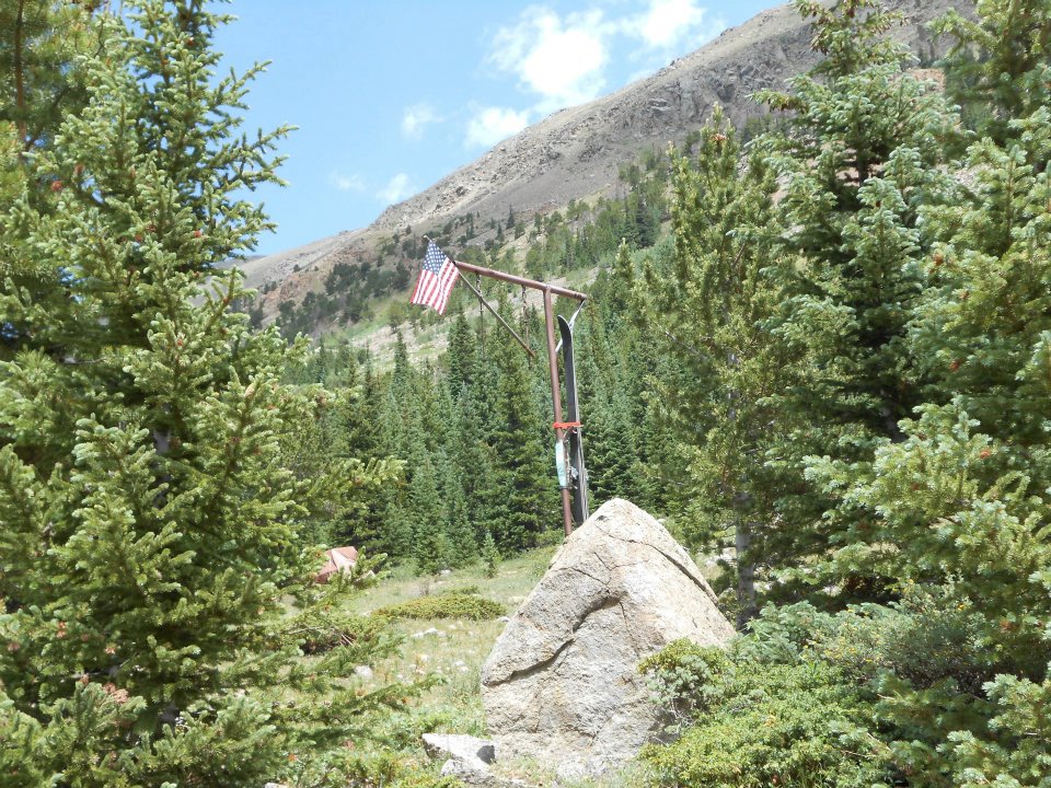
- farmer’s tan
-
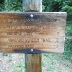
- 2 miles to Arapahoe Glacier Trail

-
- July 1st mountain snow
-
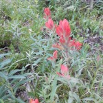
- all ROYGBIV (rainbow) hues represented today
-
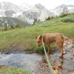
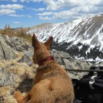
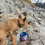
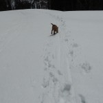
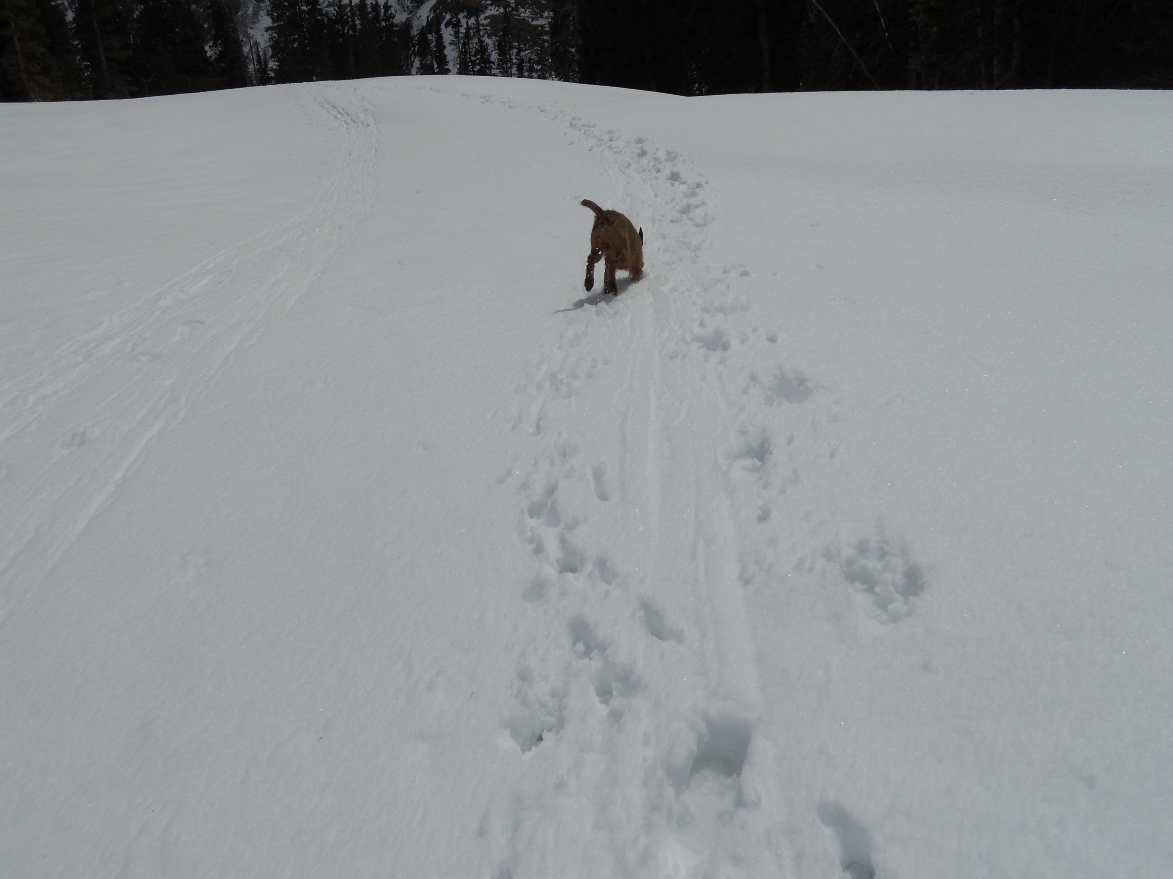
- good day to be Ro – look at that view!
-
- straight past Arapahoe Glacier junction – not, a right on Glacier trail (ugh)
-
- W-O-W moment!
-

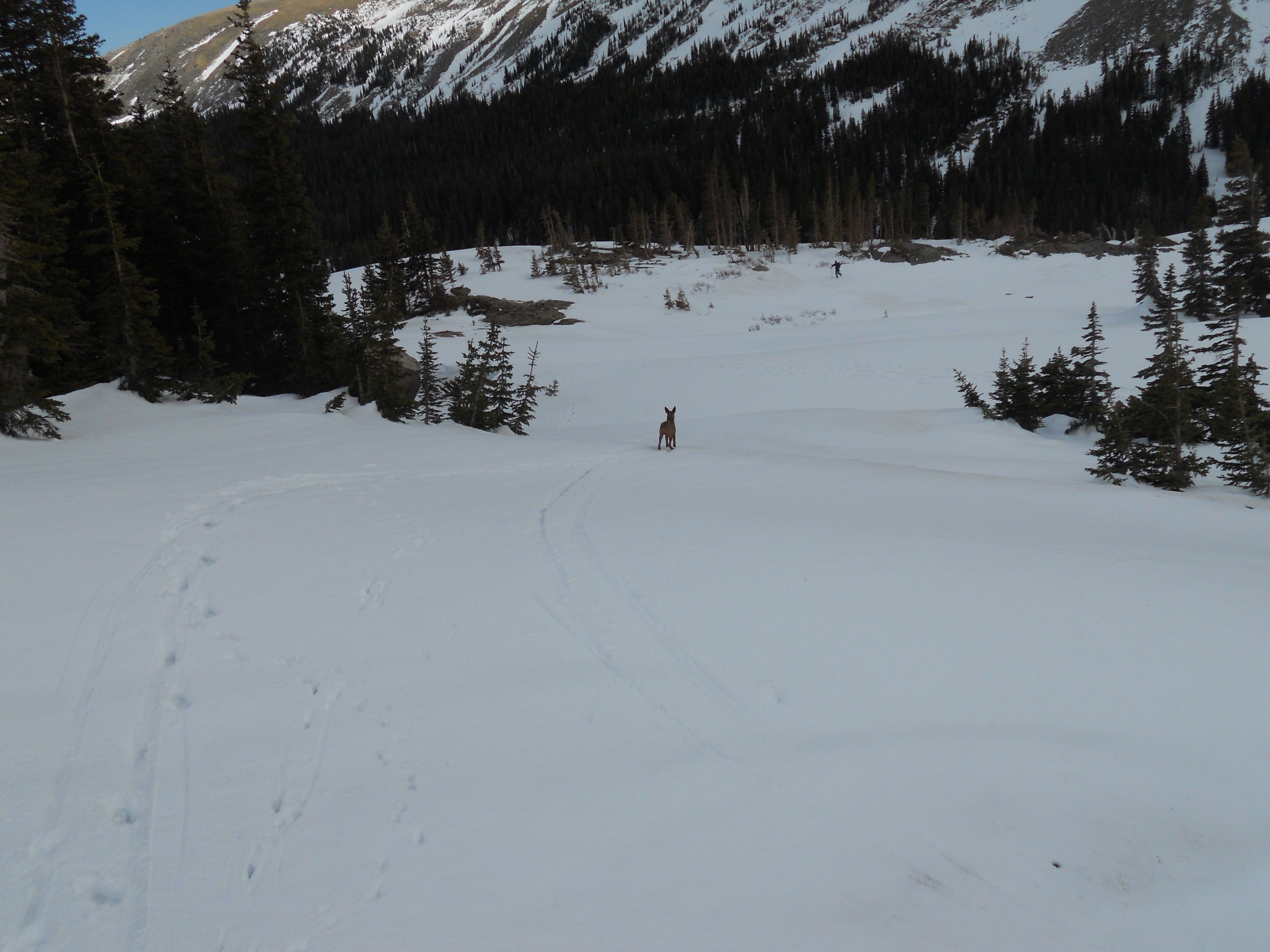
- blue speck is Lake Dorothy (1.5 miles back to junction & another 1.5 miles in opposite direction)
-
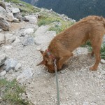
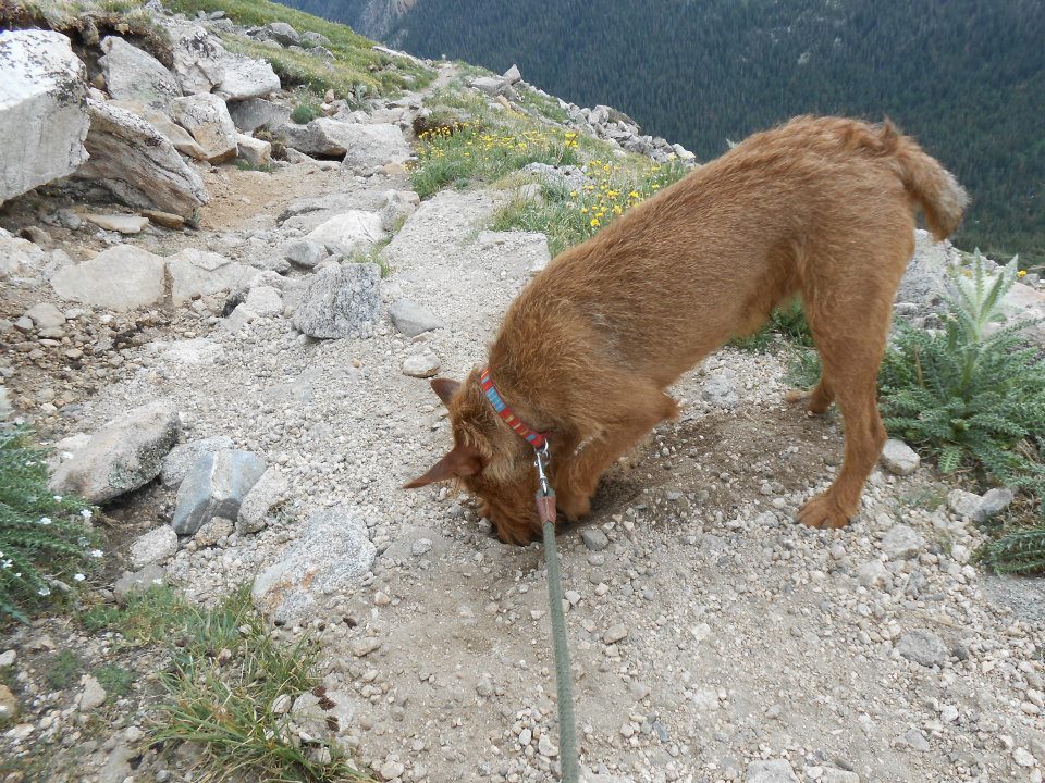
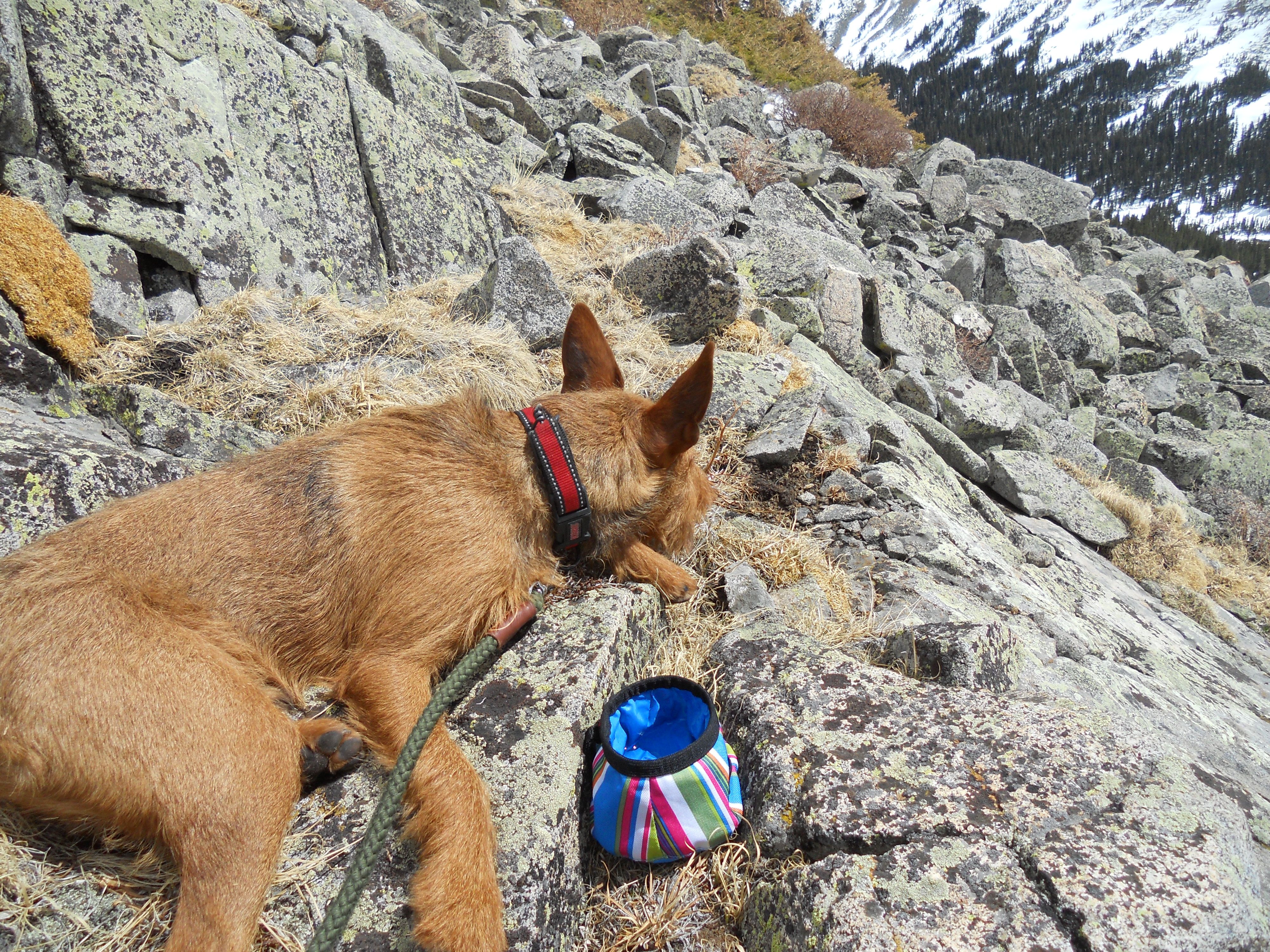
- dig, dig, digging…
-
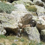
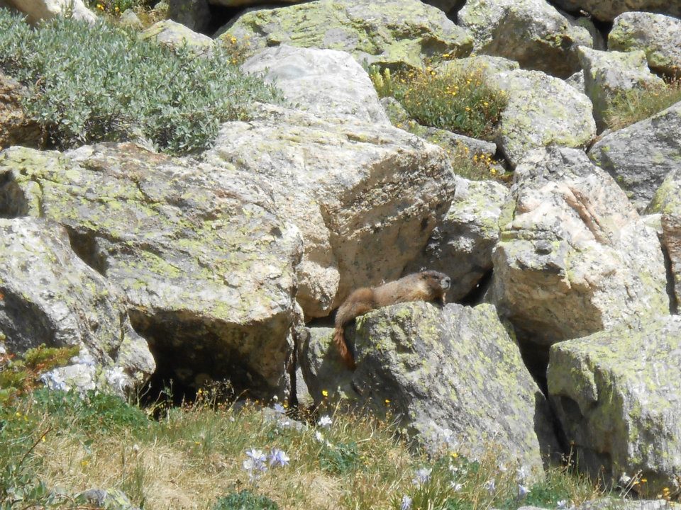
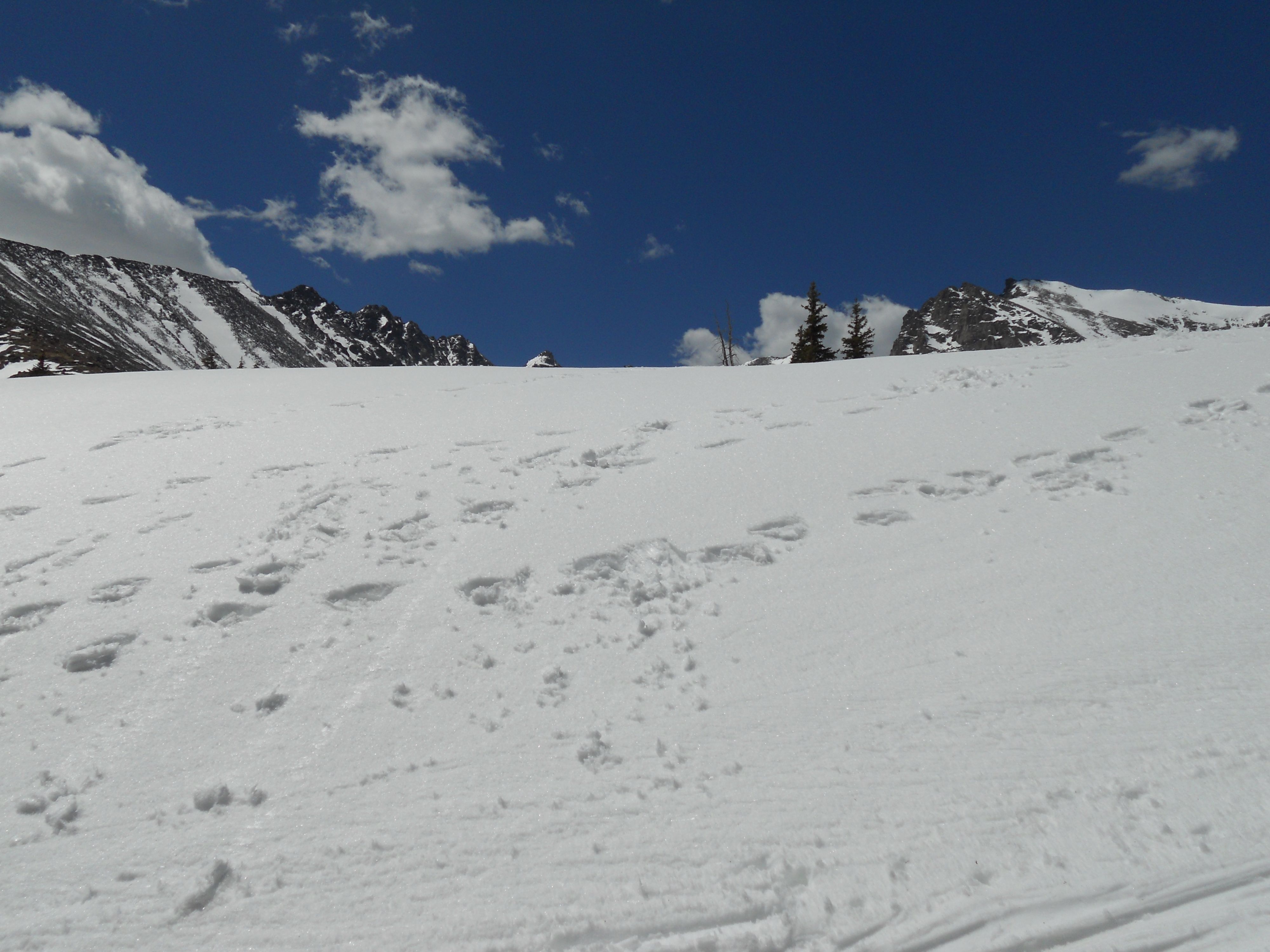
- & the one that got away (marmot)
Day 4 — can’t end Ash’s Colorado journey (and trip back to Jersey) without some high-altitude snow.
Ho, hmmm; she’s gone. But dang, it was a FUN FULL 4 days! Sand, sun & snow — LOVE LOVE LOVE my Colorado life !
-

- Ash: “where we ate our man-catching beignets”

-
- whole lotta colour going on – help!
-
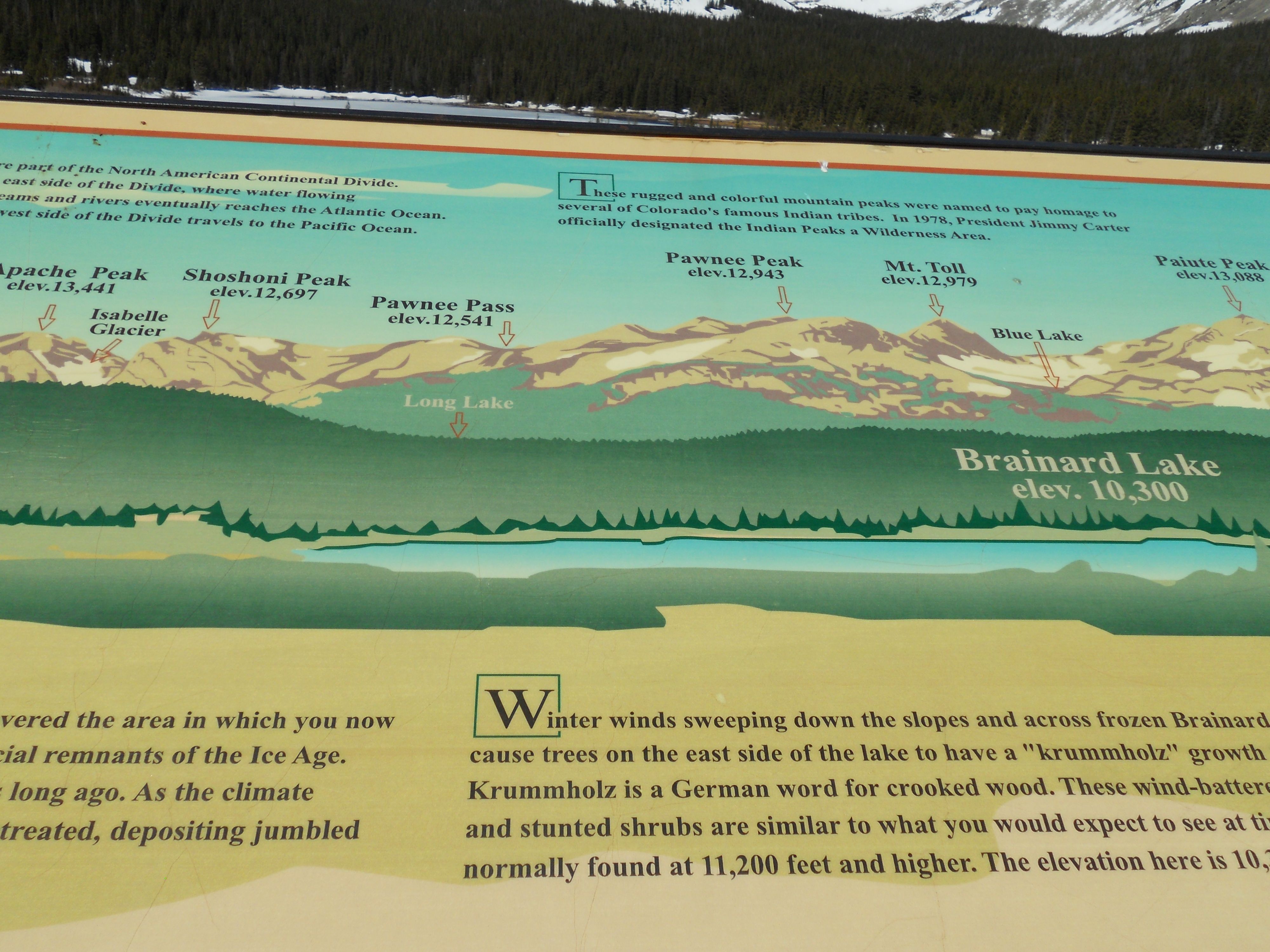
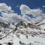
- Colorado Trip Finale: Brainard Lake (10,300 ft elevation)

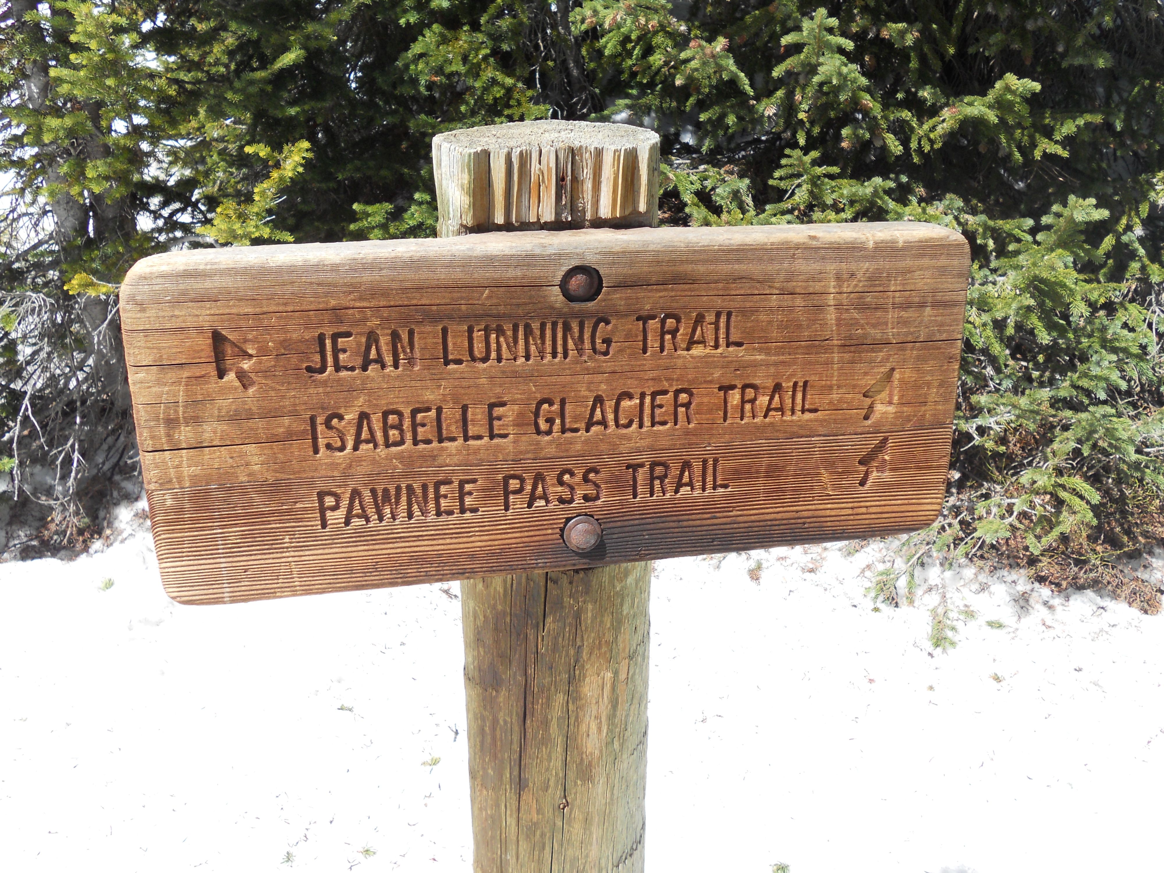
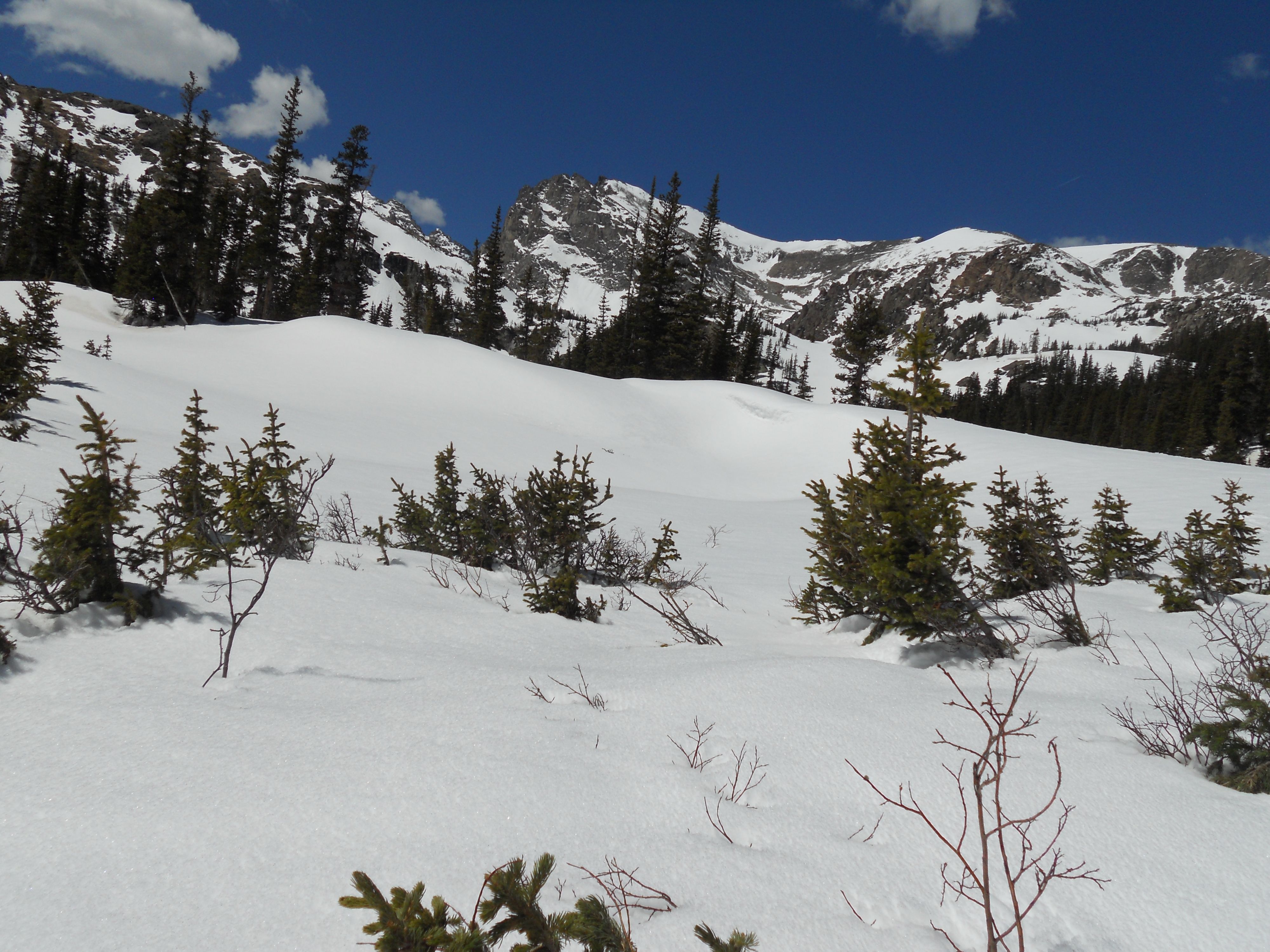
I can see Spring is everywhere (can’t be avoided) – needed one last SNOW hike before the long season wait to Fall. So…off to Indian Peaks. I remember being ‘snow challenged’ on my Feb 25th hike to Lake Isabelle – which ultimately ended at Long Lake. Today’s goal Pawnee Peak – at the very least, should be able to make it to Lake Isabelle or even Pawnee Pass.
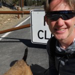
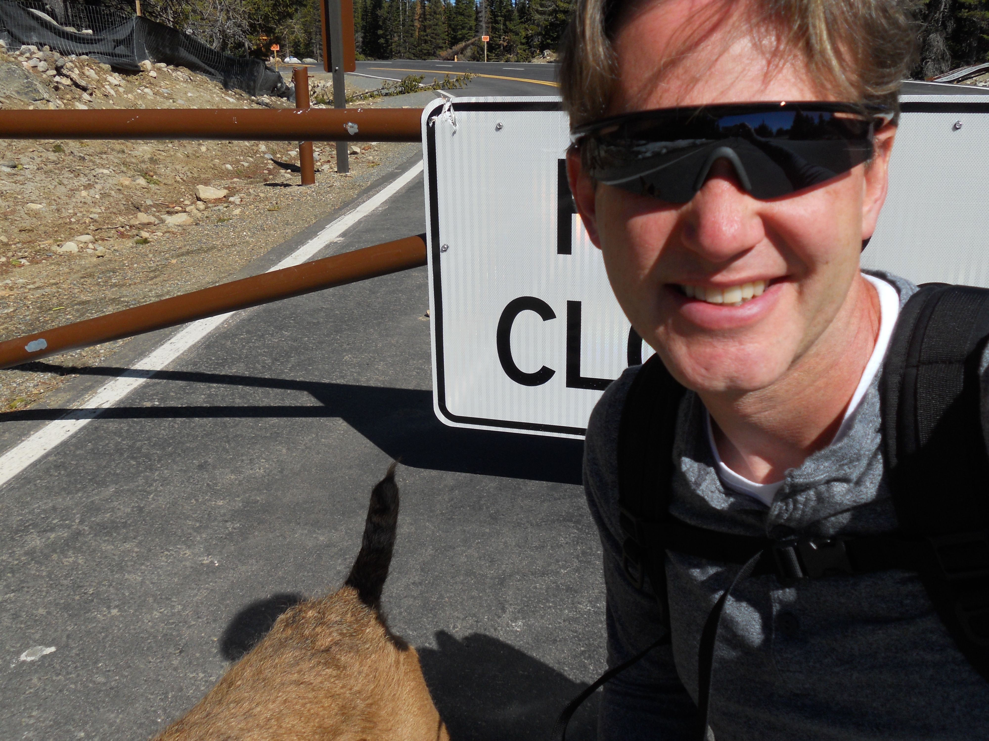
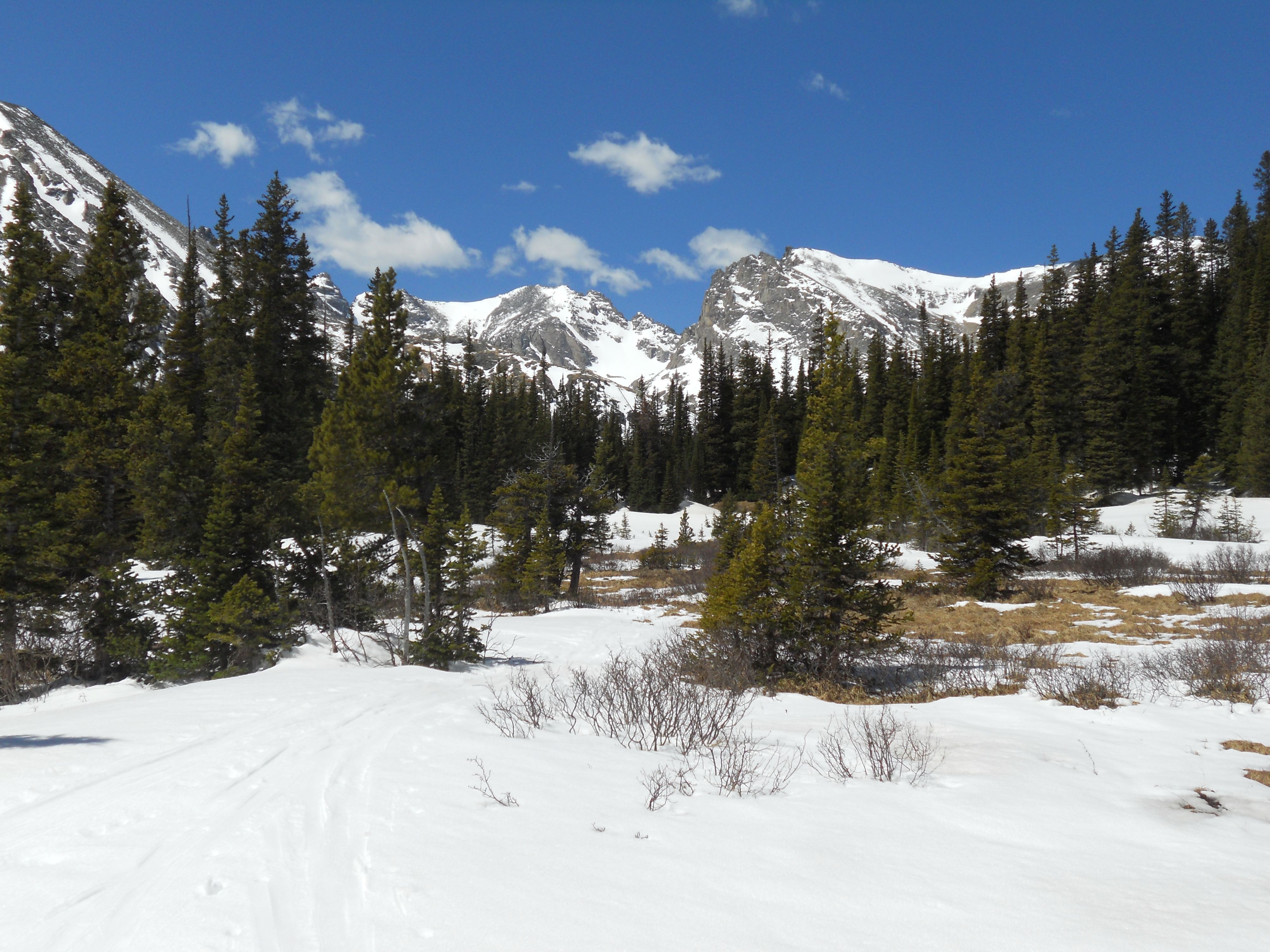
No surprise after four months into my 2012 Hike Challenge – ROAD CLOSED (again) just past Ward. New Plan: 7 miles to trailhead; let’s hit it. Lodgepole pines lined our hike to Brainard Lake – elevation 10,300 ft. Almost all water now, saw only ice in February. Remains a speactacular view against that mountain backdrop. WOW!
Viewed our first ‘Pawnee Pass’ sign — 4 miles to go. Always kinda cool to see that first sign; instantly, vision’s now tangible. From online research, mapping out the drive, to reaching our end goal target each week – it’s been mighty life fulfilling with each successive week’s hike completion. Long hike, short hike, snow or spring flowers – I’ve stuck to it, consistently hiked outdoors (all winter) and expanded my Colorado knowledge base.
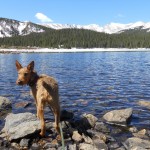
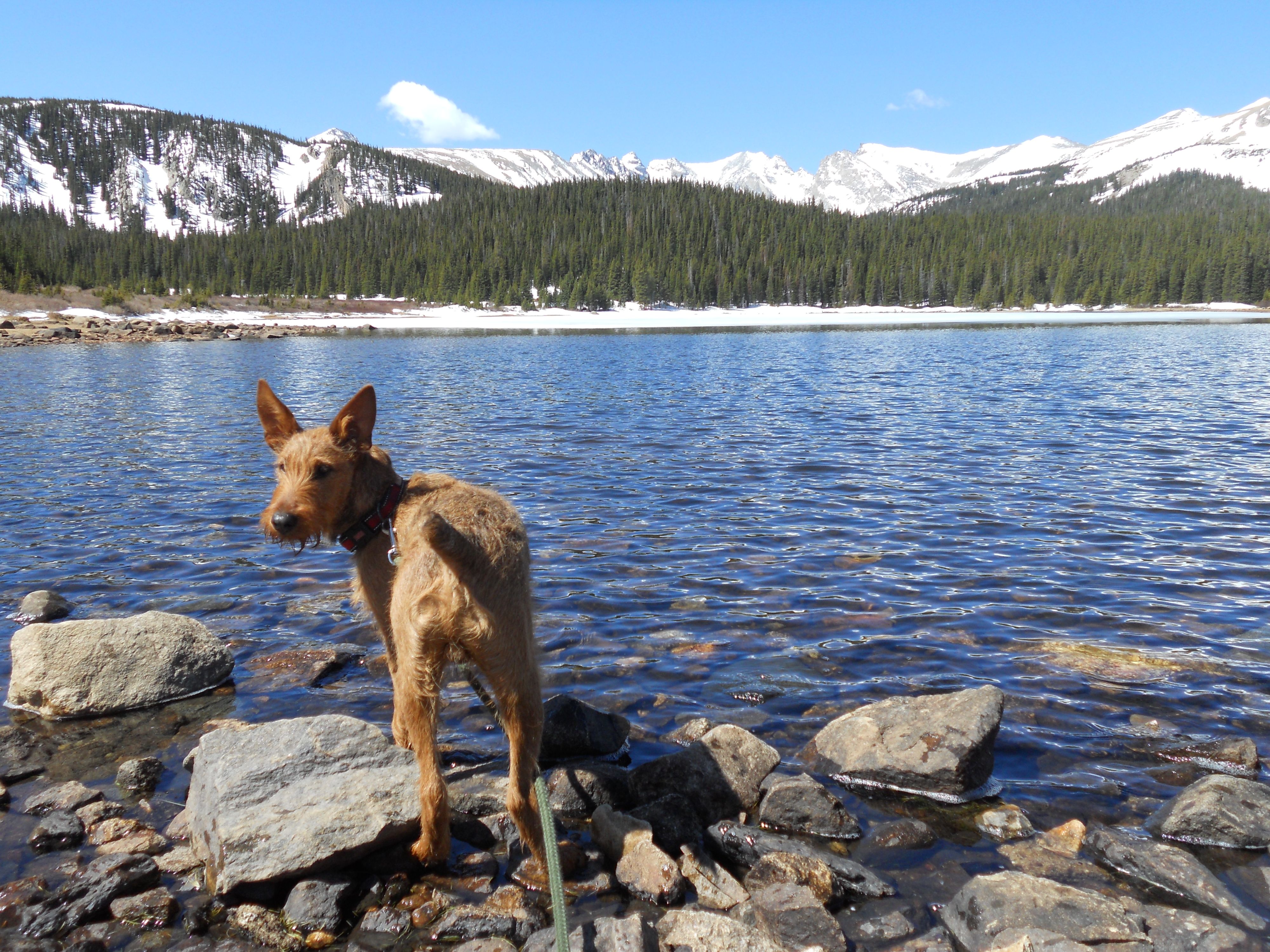
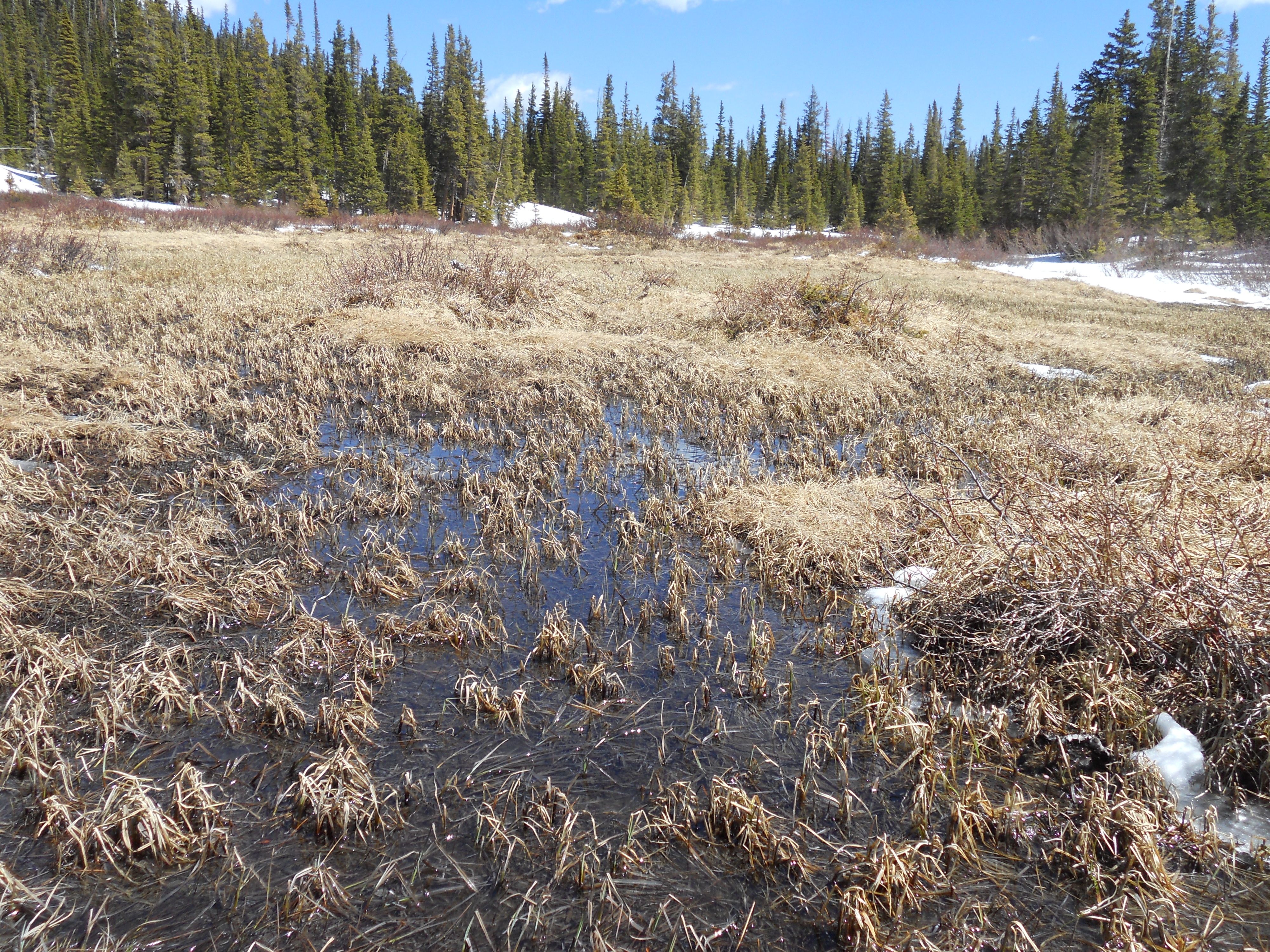
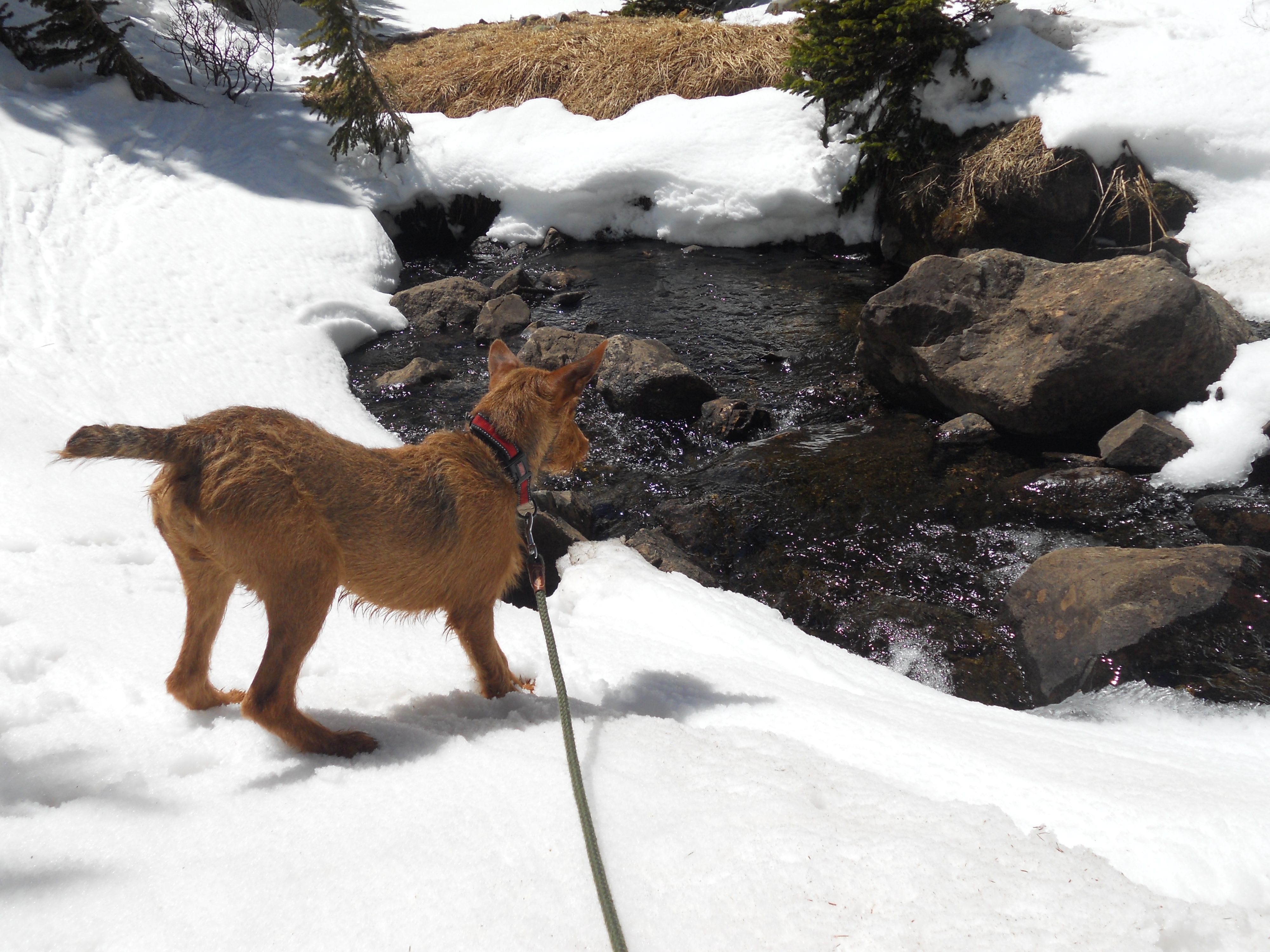
Hiked through a marshy stretch to Long Lake where I took the opportunity to shed some clothes and enjoy the sun. Even with snow all around, our high altitude sunshine is super intense. LOVE it! Long Lake was much more iced than Brainard – could only expect SNOW to deepen as we continued our climb.
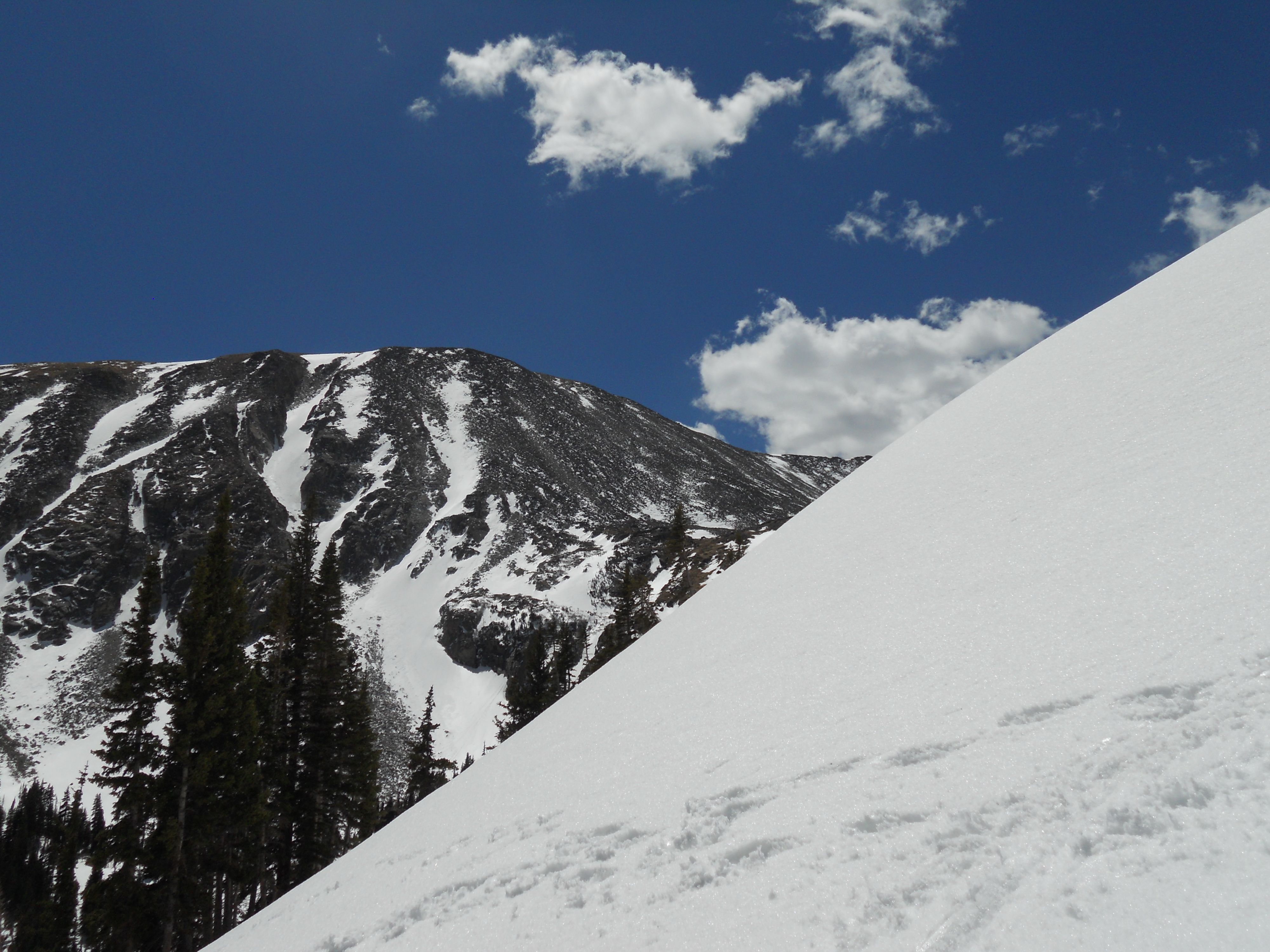
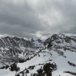
Followed ski tracks past Long Lake to Pawnee Pass. Deep snow – déjà vu to the February 25th Indian Peaks hike. Climbed a 2nd snow bank – FEET of snow – then kicked back for a minute and just soaked it all in. Snow-capped mountains, crisp mountain air, sunshine. Didn’t want to take this moment for granted — this 2nd chance gift [at life] free from concrete, clutter, busy used air.
Top of Pawnee Pass – FEET FEET FEET of snow. Hit the tundra treeline and kept hiking. No possibility reaching Pawnee Peak – looked kinda like Everest all steeped in snow & glaciers. ‘Little’ Pawnee Peak was a possibility with its increased exposure to sun…though Ro and I had to fight off large terns nesting in the rocks, protecting their family nests.
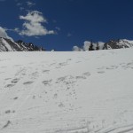
Lunch break, water, power nap…and snow clouds quickly move in. Temps dropped 20 degrees so pulled clothes out of the backpack. Ro enjoyed 4 miles of off-leash freedom, racing wildly across the snow, retracing our foot path created earlier in the day. Saw our first human in (literally) hours – a ranger — who did not reprimand me about Ro (being off-leash) but rather warned that ‘gun shots’ I heard earlier were actually shifts in the snow as this was prime avalanche season, who knew? Argh; potential deadly mistake luckily averted.
Last heavy snow hike of the season. Today I felt silly emotional & close to my Creator after logging in continued hours of panoramic arias. Too much to intake/comprehend/process in a single day span. Walk in the wilderness; highly recommended.
“Hiking in the Indian Peaks Wilderness: Long Lake”
-
- ROAD CLOSED – 7 miles to trailhead
-
- Brainard Lake
-
- Lodgepole Pine
-
- Pawnee Pass – only 4 miles to go
-
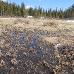
- marshy stretch before heavy snow
-
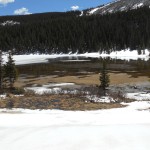
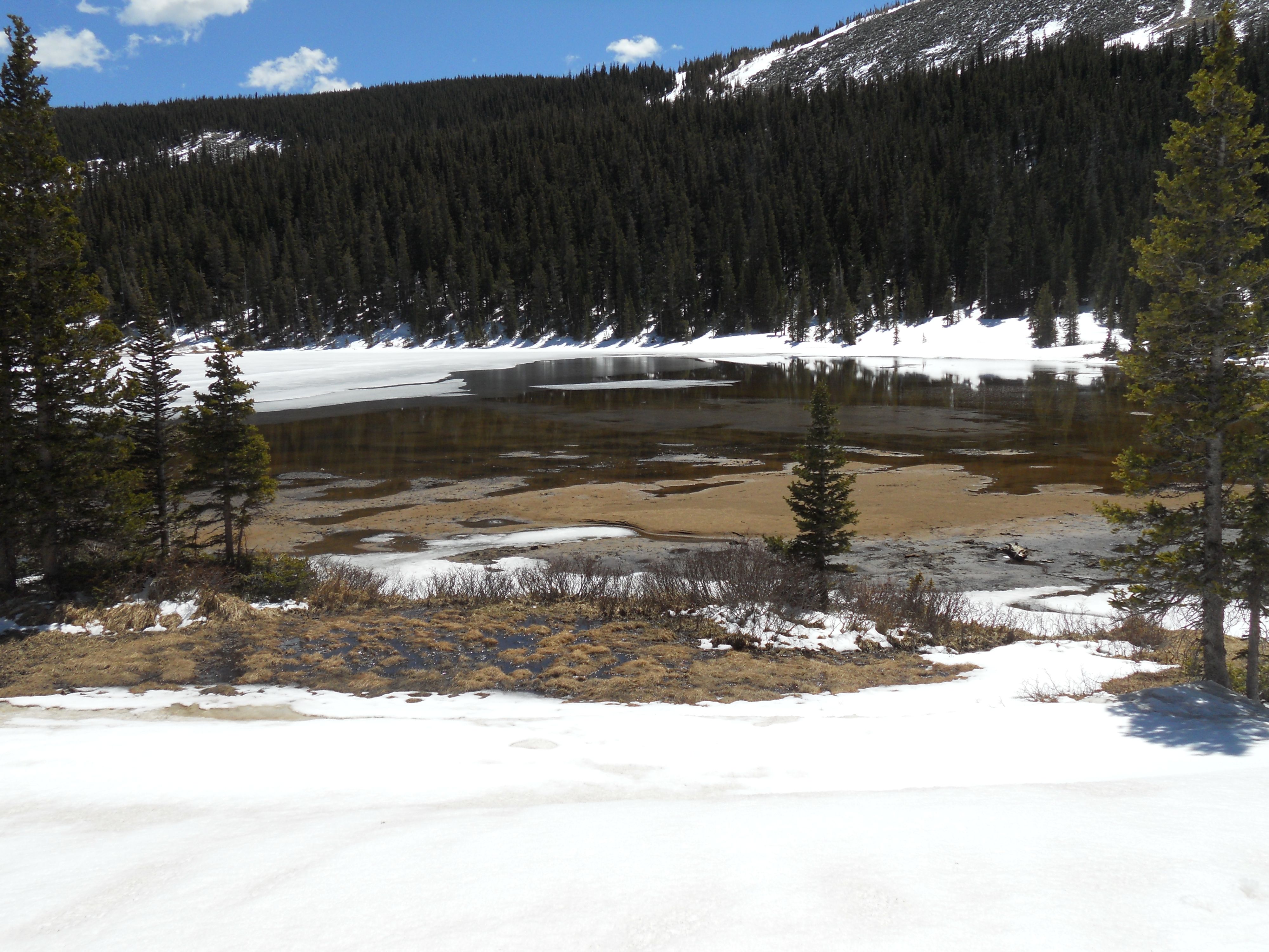
- Long Lake
-
- deja vu (February 25th hike)
-
- Pawnee Pass – to the top!
-
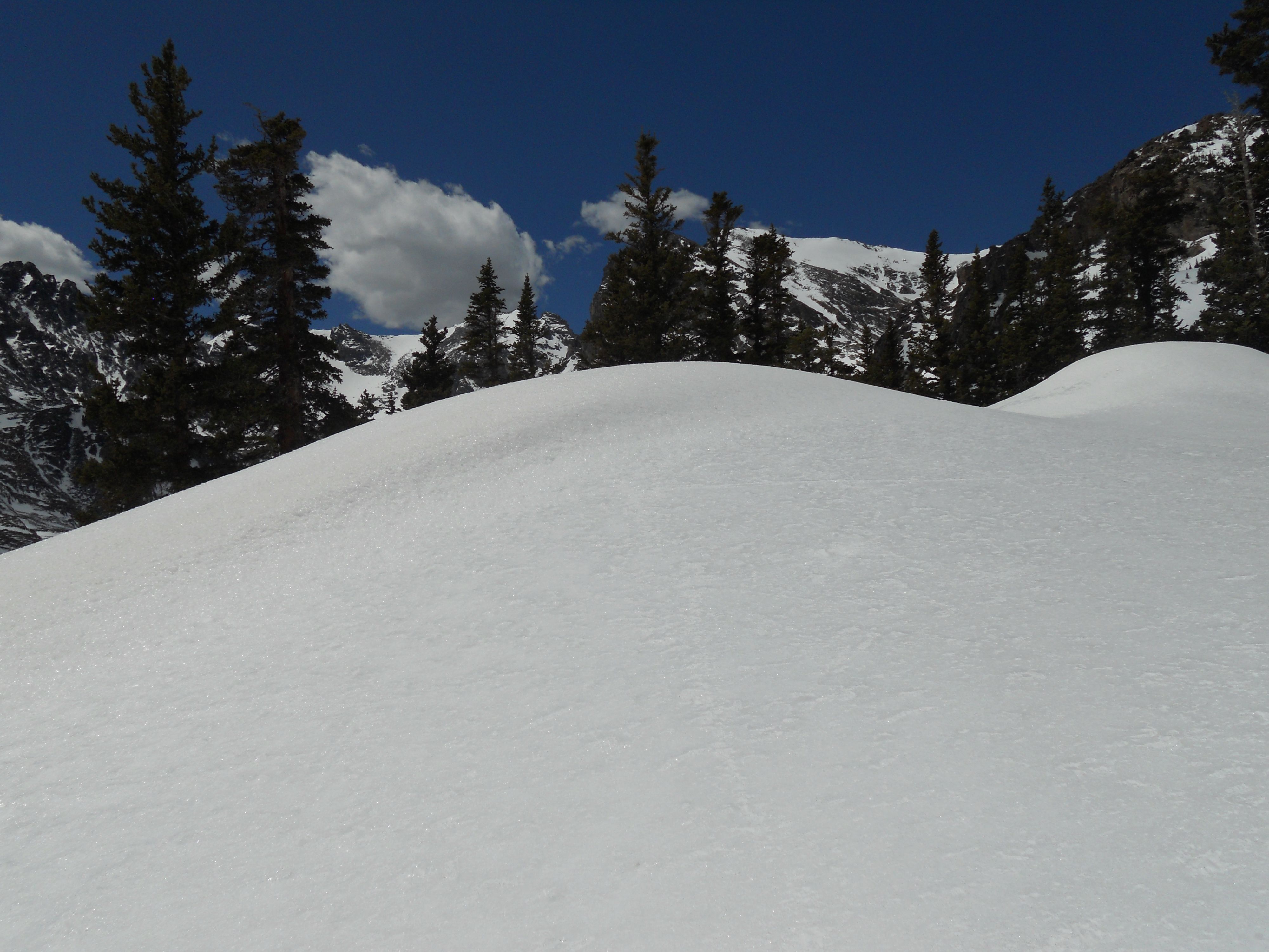
- tundra tree line
-
- climb to Little Pawnee Peak
-
- lunch break
-
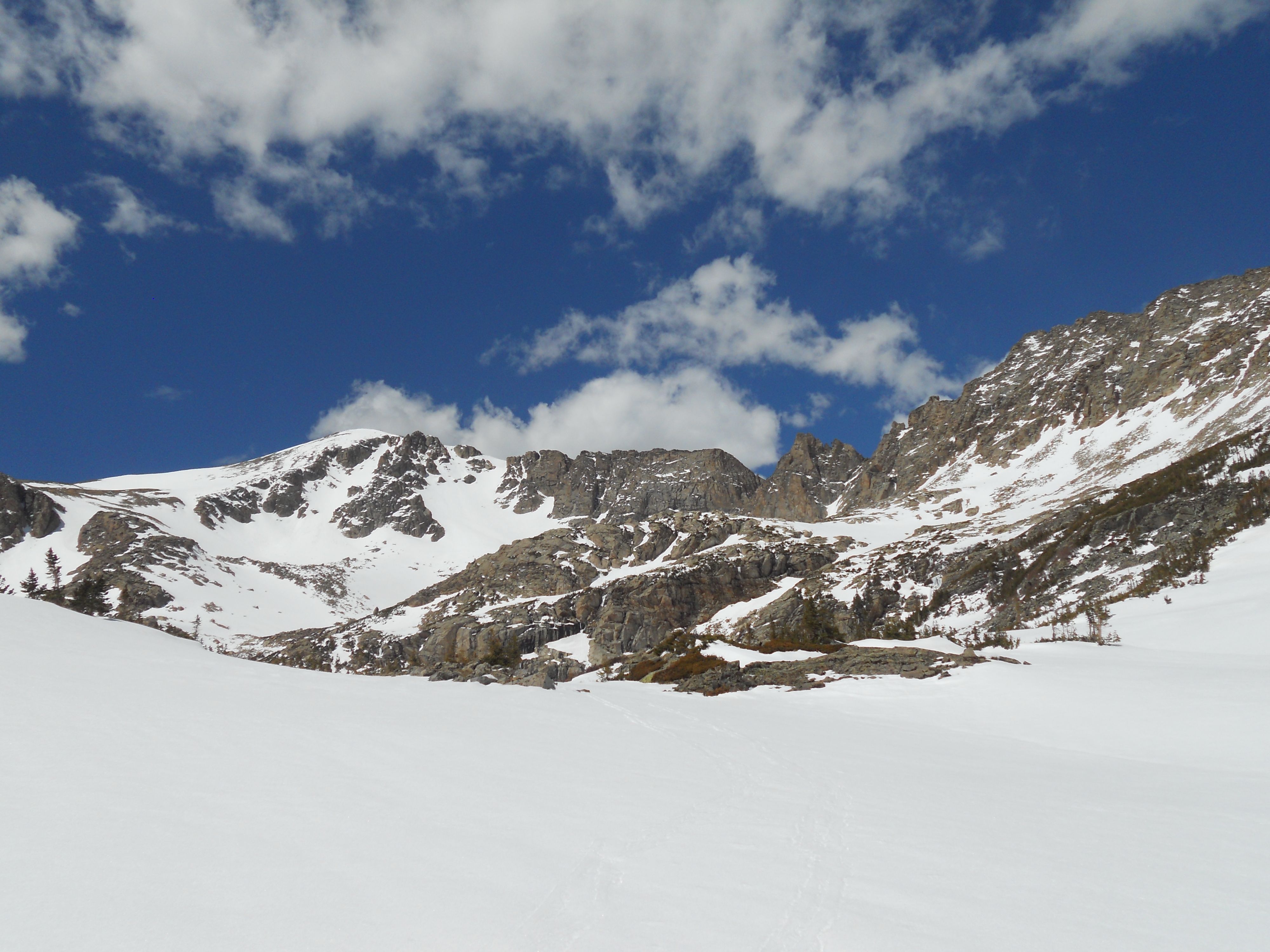
- peek of Pawnee Peak
-
- Ansel Adams-esque
-
- water & a quick nap
-
- uh oh…snow clouds moving in
-
- sun’s gone & temps drop – time to layer up again

-
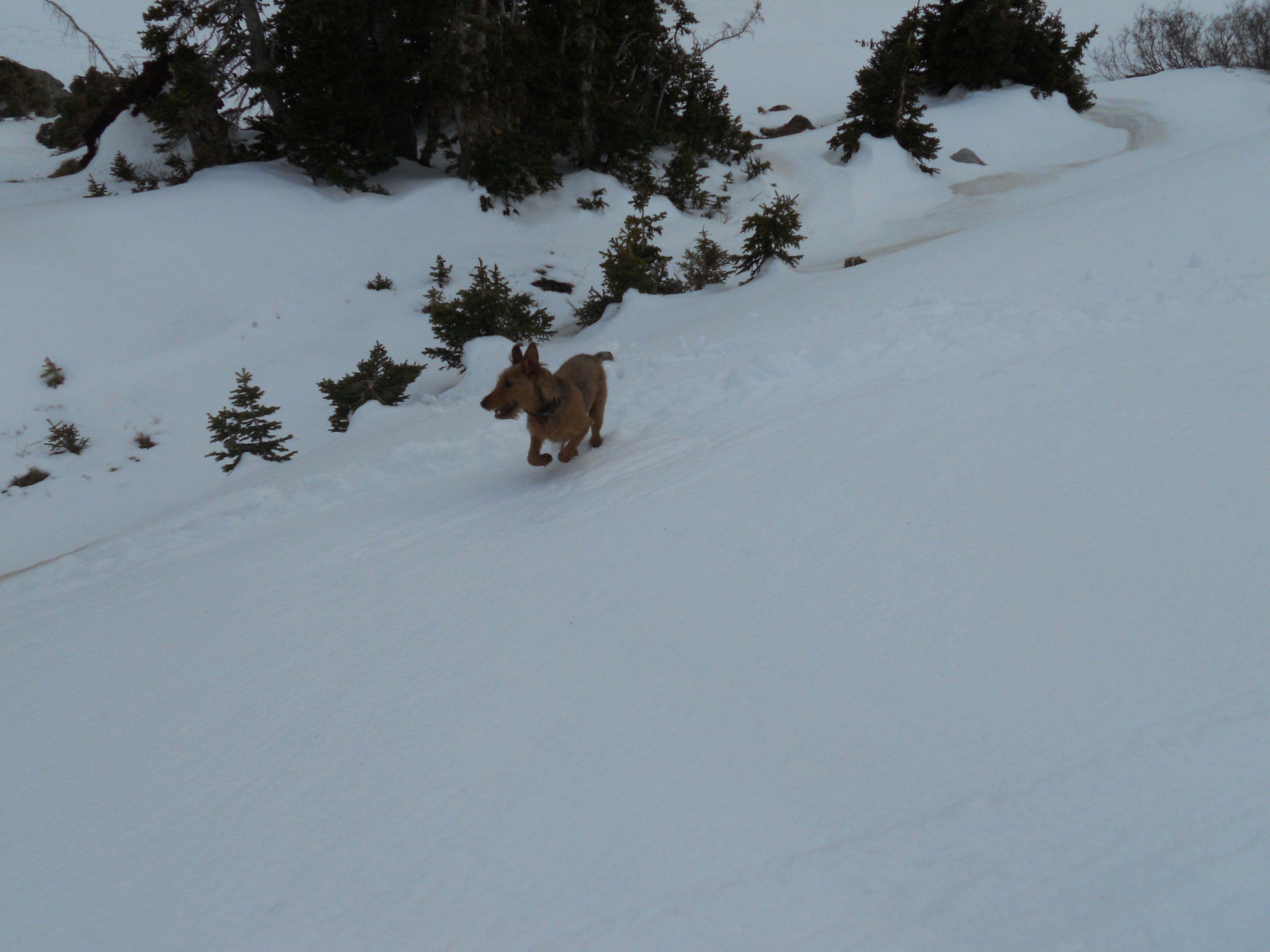
- 4 miles of off-leash freedom
-
- what a good guy – waiting for daddy
-

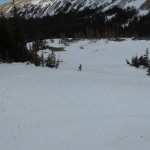
- 2 miles to go – someone expended too much energy run-run-running