 Chose my ICELAND HIKE months ago, Thórsmörk Valley. Nameworthy, the land of Thor (Norse thunder god believed to have struck down his hammer Mjölnir and formed the depression). High mountain trail, glaciers, fitness requirement (Difficulty: Challenging) & a VOLCANO.
10 years past Katla’s ‘best by’ date, town of Vík schedules regular evacuation drills. When this one blows, large glacier above (Mýrdalsjökull) expected to flood residents with end-of-day water levels & mountain debris. Tick, tick, time bomb. Sign me up! Life’s all about second chances 😊
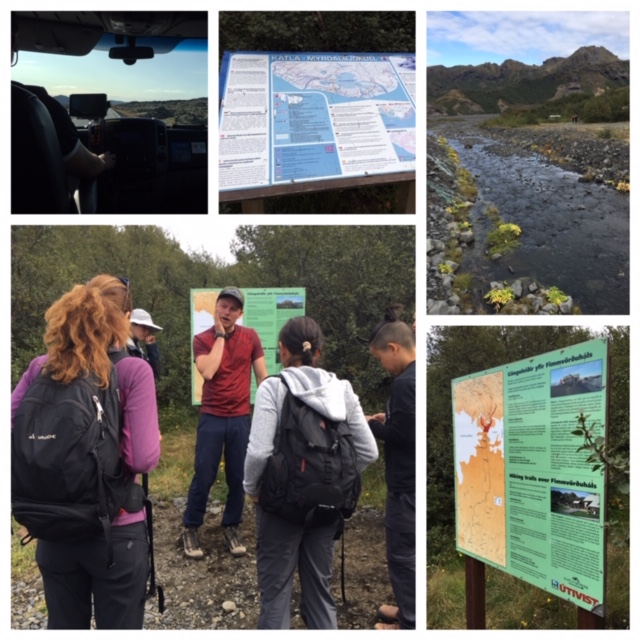
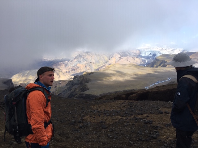
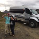
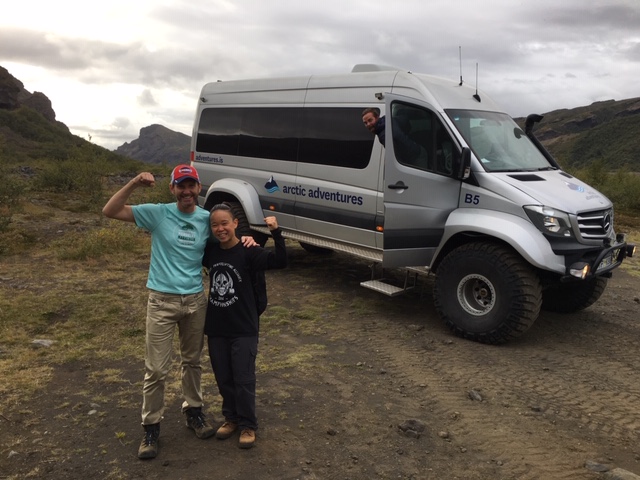
Hour-half drive to Básar Cabin in a tricked-out SUPER JEEP. Dirt road, lava field, multiple water crossings & a well-timed pit stop where I purchased some quality take-away. Reminiscent of I-70 hikes & Georgetown burritos (2 hours in a pants pocket, heats like any microwave). big GRIN.
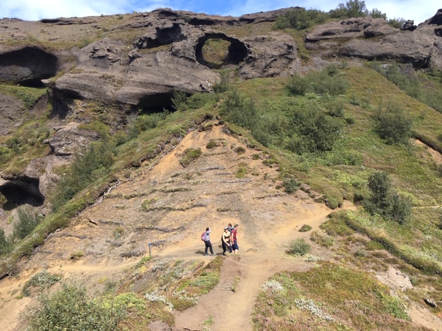
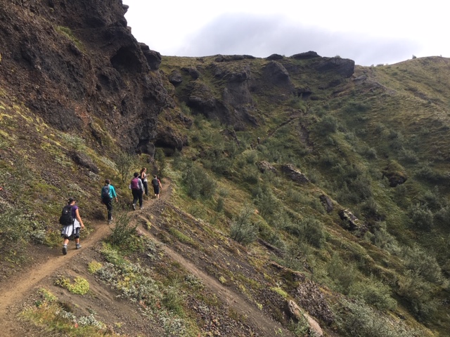
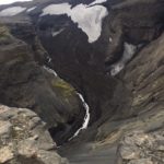
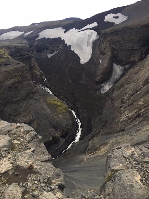
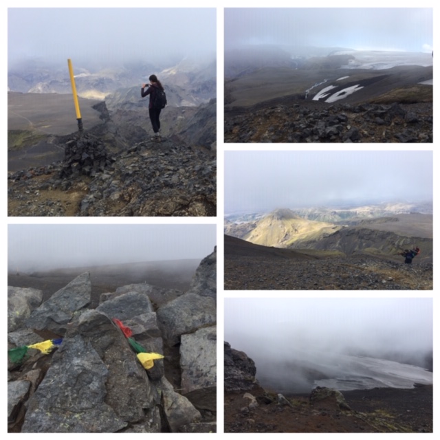
up, UP, UP. Mile climb to our first overlook. Walls stamped green. Waterfall views (just a teaser).
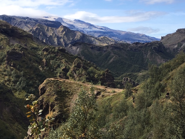
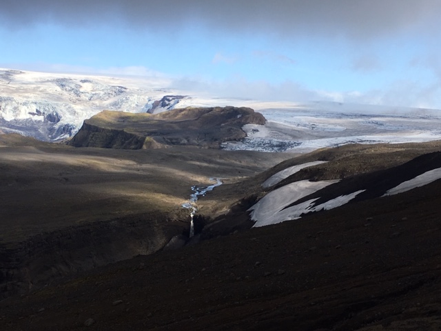
2 craters: Magni & Modi, formed by 2010’s massive Eyjafjallajökull eruption. Snow-cap peaks – all volcanos, active & brewing. Island’s tectonic plate-positioned between continents. Averages 3 eruptions a year! Mile-wide scar exposed northwest of Reykjavik (Thingvellir National Park).
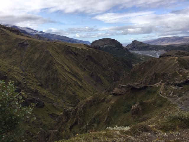
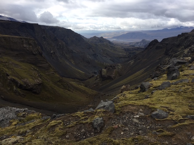
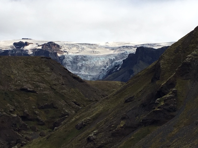
20-minute lunch break on a high table mesa. North Atlantic wind, GLACIERS, ice-melt waterfalls spraying from exposed rock walls. No words. Stop, sit, breathe. Get small. STUNNING.
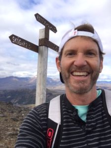
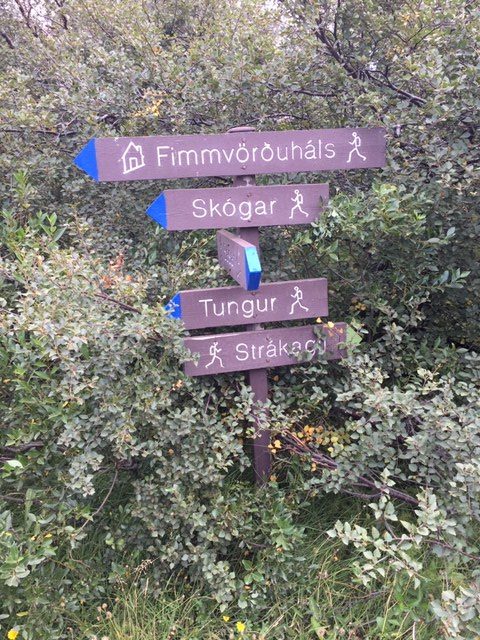
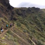
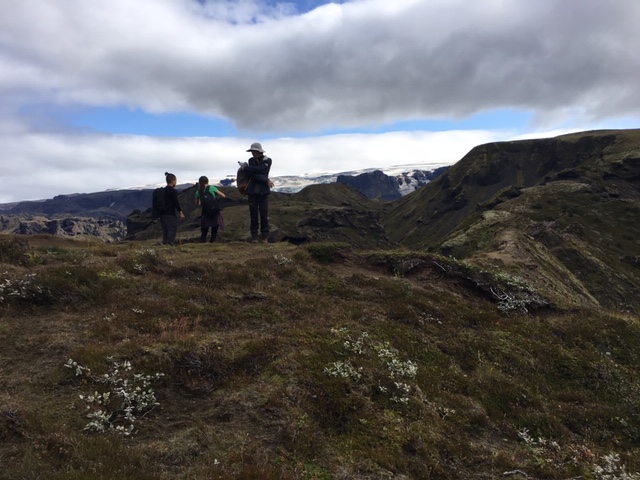
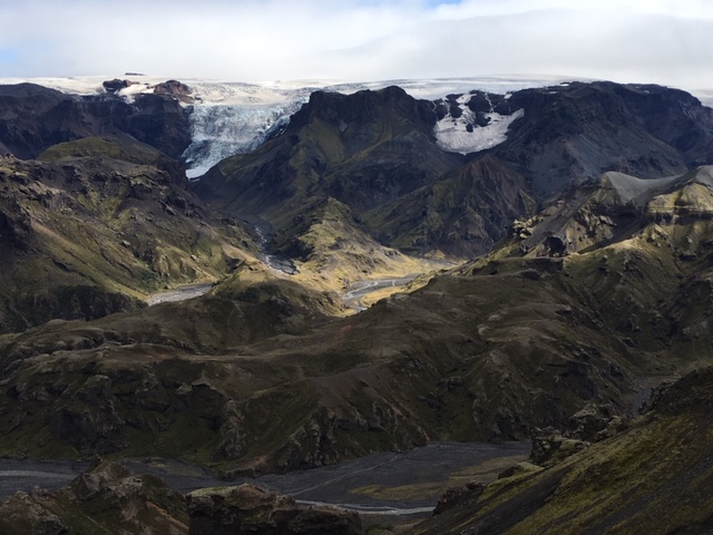
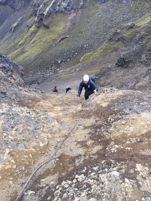
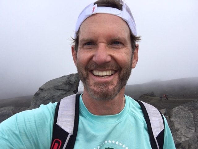
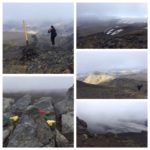
Fimmvörðuháls Pass. 2 stayed behind, rest of our group – UP. Thin trek anchored with cables kept us on trail (not far far far below). Crossed one-at-a-time. Last hour similar to a 14er hike. Lotta boulder, broken rock. Less switchbacks than Colorado but same happy UP. Thick fog greeted, blanketed soon after SUMMIT SUCCESS. Cold, windy, quiet. Sheets of old snow; stretches of new Earth (2010 lava remains). WOW!
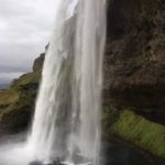
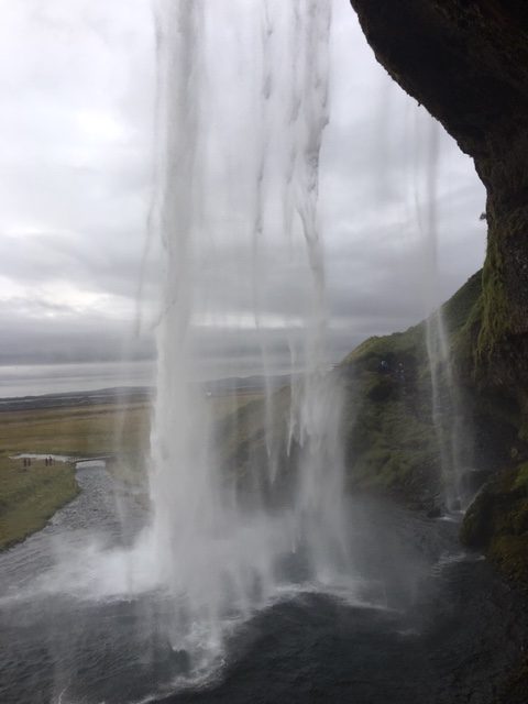
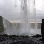
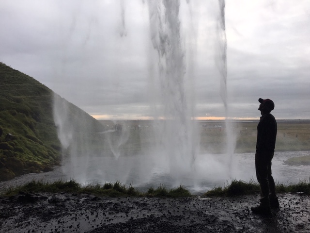
Jeep regrouped. Quick stop at Seljalandsfoss (while our driver added tire-pressure for the highway ride to Reykjavík). Ever walked BEHIND a waterfall? 16km hike, 14-hour day. Volcanos, glaciers, waterfalls. Gotta/hafta/MUST. Highly recommended ✔️
Tomorrow’s adventure: Icelandic ponies 🐎
-
- valley of THOR
-
- up, UP, UP ⬆️
-
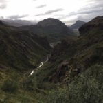
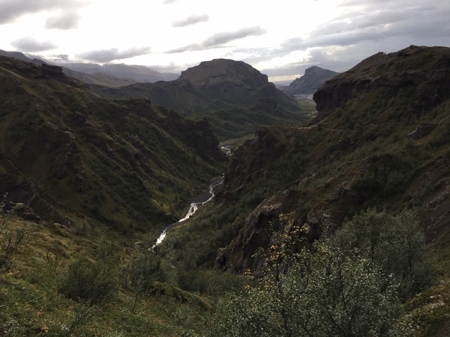
- Thórsmörk Valley
-
- LUNCH break
-
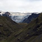
- Mýrdalsjökull Glacier
-
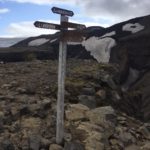
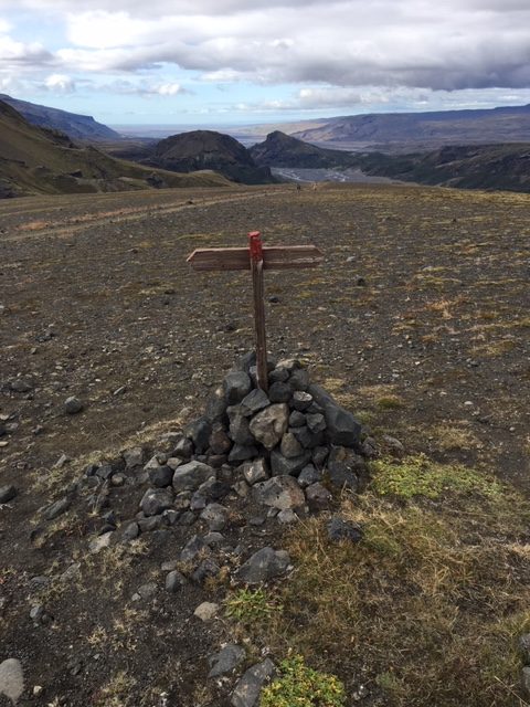
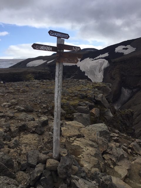
- Fimmvörðuháls Pass
-
- far, far, far below
-
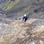
- cable-anchored, one-at-a-time
-

- top-of-world SUMMIT
-
- SUCCESS!
-
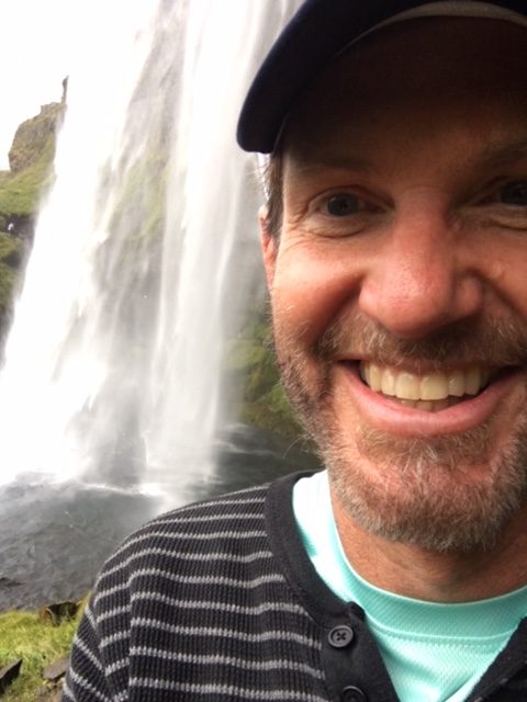
- LIFE shared 🙂
-
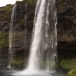
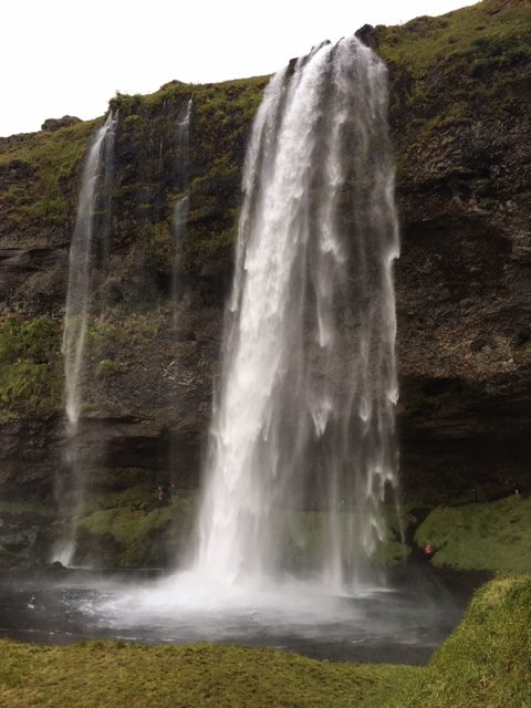
- Seljalandsfoss
-
- 60-meter DROP
-
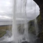
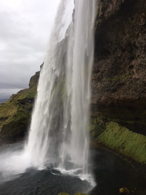
- BEHIND the waterfall ❤️
-
- heart SMILE
Thórsmörk Volcano Hike
Vík lies directly south of the Mýrdalsjökull glacier, which itself is on top of the Katla volcano. Katla has not erupted since 1918, and this longer than typical dormant period has led to speculation that an eruption may occur soon. An eruption of Katla could melt enough ice to trigger an enormous flash flood, large enough to obliterate the entire town. The town’s church, located high on a hill, is believed to be the only building that would survive such a flood. Thus, the people of Vík practice periodic drills and are trained to rush to the church at the first sign of an eruption.

Leave a Reply