
morning SUNSHINE 🌞
Halloween’s a week away.
Wee early for a SECOND Colorado snowfall.
Even my running friends in Yellowknife aren’t posting snow pics yet.
Trees heavy, mountains socked in.
SUN reappears; pops bright against the new blanket of WHITE.
Colorado MAGIC ❄️
Trick-or-treat Halloweeners. Christmas come early.
Absolute NO PLACE I’d rather be ❤️
-
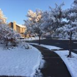
- neighborhood blanket

-

- October 24th ❄️

-

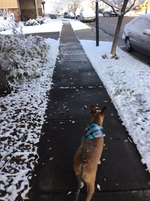
- happy Pup 🐾
-

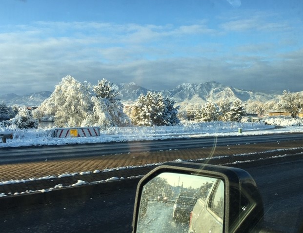
- my Colorado commute
2nd snowfall, Oct 2019
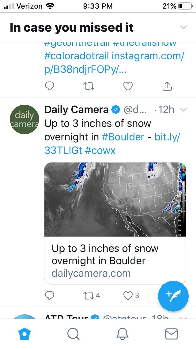
Colorado’s Front Range Will Get Snow Tonight. Some Places Will See Up To A Foot
By Taylor Allen
October 23, 2019
The I-25/Denver metro commute was slow Thursday morning Oct. 10 as the season’s first snow fell on the north and central Rockies and the Front Range.
October’s second snowstorm is coming to Metro Denver Wednesday afternoon and evening. Throughout the day Wednesday, the mountains west of the divide will see snow.
In Denver, a rain and snow mix will likely begin in the afternoon, according to Russell Danielson, a meteorologist with the National Weather Service in Boulder. Around 7 p.m., he said, it will likely all turn to snow.
The foothills southwest of Denver and the Palmer Divide are expected to be hit hardest. Those places could see up to a foot of snow before it’s all over, Danielson said.
Temperatures in Denver will hover in the 50s for most of Wednesday before dropping to the low 30s in the evening. Overnight lows will be around 25 degrees before it begins to warm up Thursday into the low-40s.
Take some solace, however; the snow will likely be short-lived. Danielson said it will likely be done falling by the morning rush hour. Still drivers could face a tough commute.


Leave a Reply