Captain James Cook (7 November 1728 – 14 February 1779) was a British explorer, navigator, cartographer, and captain in the Royal Navy. Cook made detailed maps of Newfoundland prior to making three voyages to the Pacific Ocean, during which he achieved the first recorded European contact with the eastern coastline of Australia and the Hawaiian Islands, and the first recorded circumnavigation of New Zealand.
Two ways to Captain Cook Monument – by foot or by sea. No road will take you there, no view from afar.
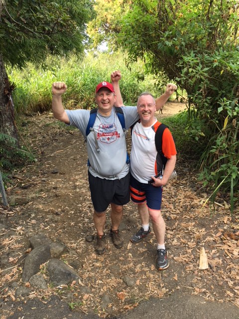
Hitched a ride with Sis & hubby in their SUV rental. Drove south past Kona, took the Mamalahoa Bypass ’til it dead-ended on State Highway 11. 2 miles from Kealakekua, one mile from Captain Cook – Ka’awaloa Trail tucked away on the right.
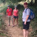
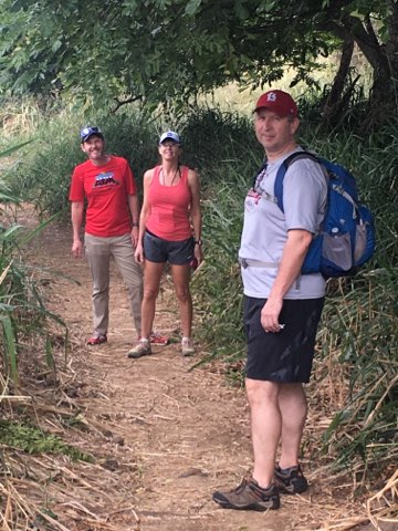
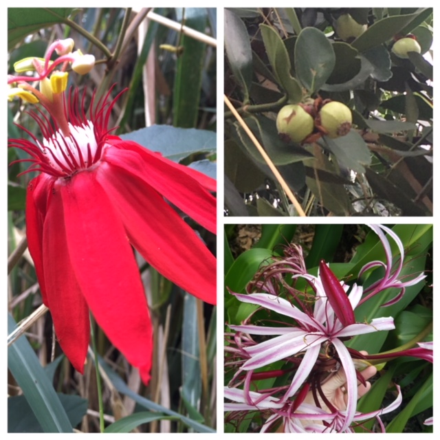
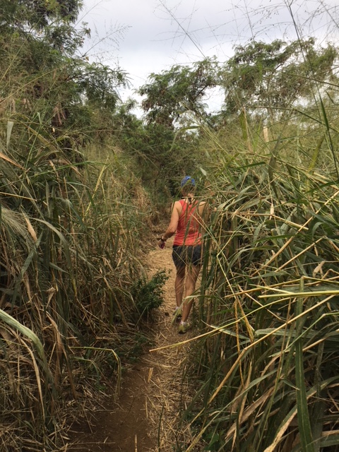
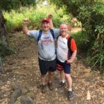
2 mile/2000ft scramble thru tropical fern, Palm & tall grasses. Not lush like the Island’s Hilo shore, but plenty of variety from Colorado winter. Flowers, nuts & fruit gave way to volcanic rock. Kealakekua Bay still a mile away, sharp descent to the salt water inlet. Pic-snapped Cook’s elusive Monument, then shed some clothes. Hiking pants & shirt on a nearby log. Swimming in January!
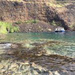
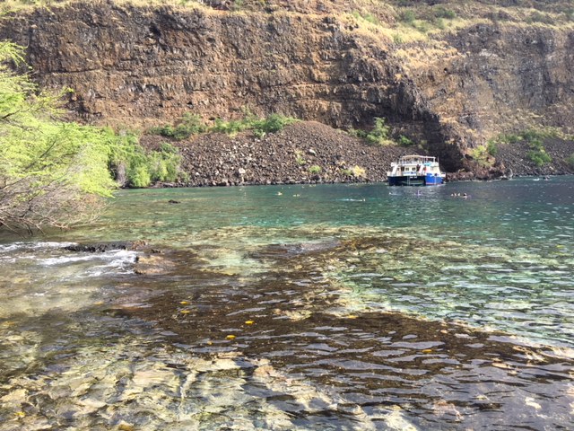
BEST SNORKELING on the Big Island. Yesterday was fun – this site, truly a hidden gem. Schools of yellow tang visible to the eye, hanging near shore. Everything amplified. Bigger fish, larger numbers. WOW!
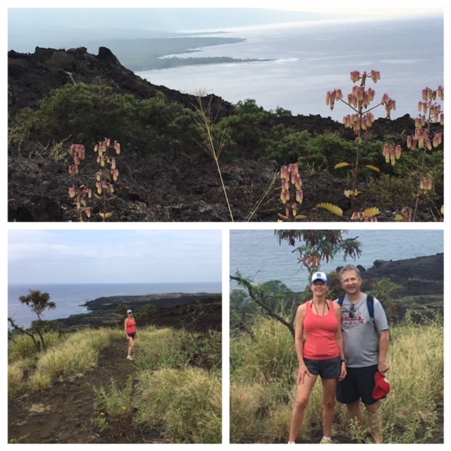
2 mile/2000ft hike return. UP,UP, UP – 2000ft UP. Hit it hard, paced strong. ALL IN this day – killed it!
Farm-to-table lunch, luau dinner tonite. Livin’ B-I-G, absolutely no regrets 🙂
-
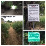
- Ka’awaloa Trail

-
- 2 miles/2000ft down
-
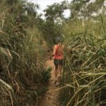
- tall tropical grasses
-
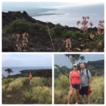
- stunning volcanic coastline
-
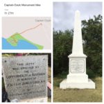
- British explorer & cartographer commanded three Pacific voyages

-
- best snorkeling on the Island
-
- another Big Island Day 🌺
Kealakekua Bay


Leave a Reply