Recommended highly by a co-worker, was looking forward to our hike in Lyons — was not disappointed.
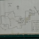
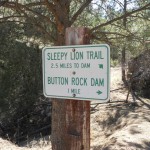
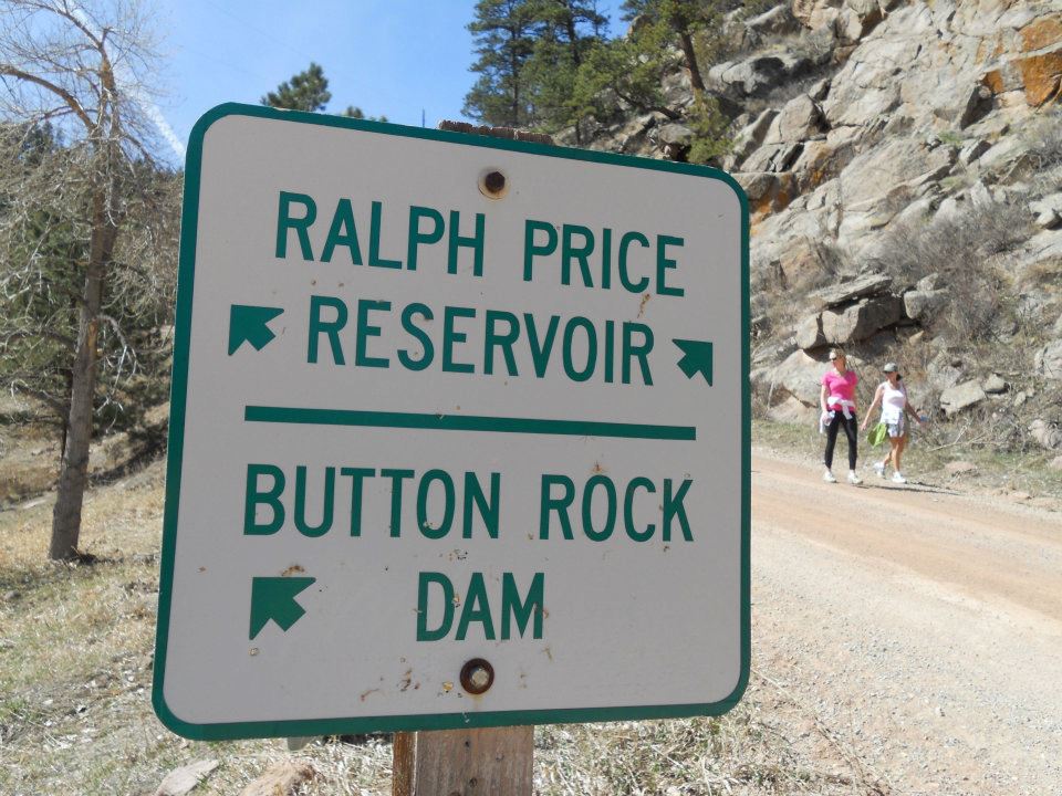
Lyons is north of Boulder on the road to Estes Park & Rocky Mountain Nat’l Park. Two trails at Button Rock — friendly pedestrian walk to Dam release or Sleepy Lion which traverses UP. Yep, Sleepy Lion for us!
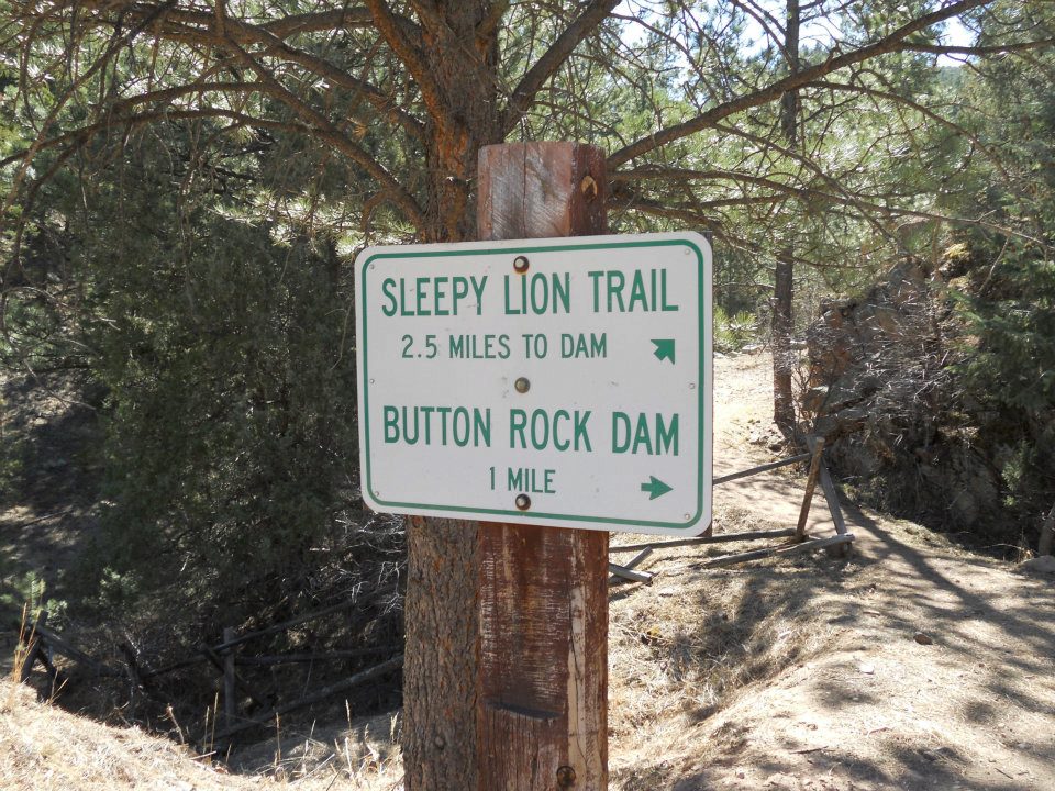
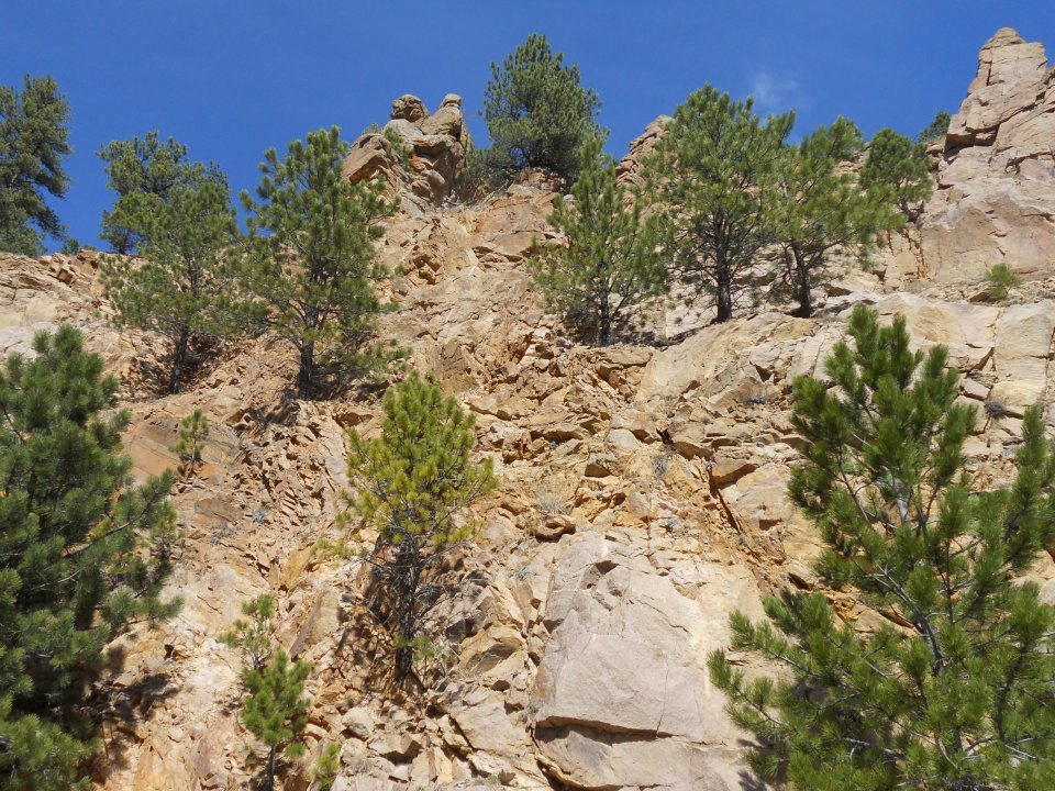
No real snow to speak of (except residual snowdrift monoliths) but being early March, still found it difficult locating/staying on trail because of winter season underbrush. Hiking alone and early in season (ALONE – no other humans), I focus on staying safe, staying on trail — at least it crosses my mind 🙂 Unfortunately. this time we lost the scent so traveled UP for a better look OVER the forest.
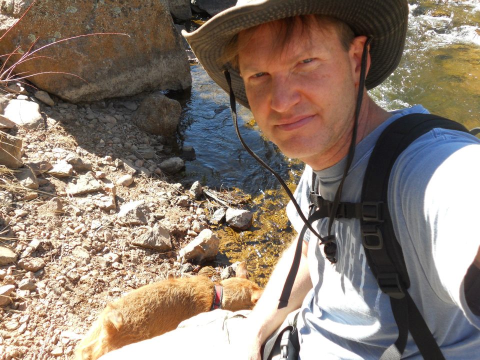
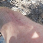
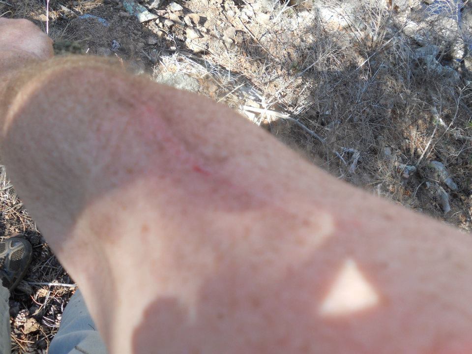
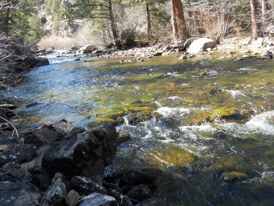
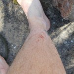
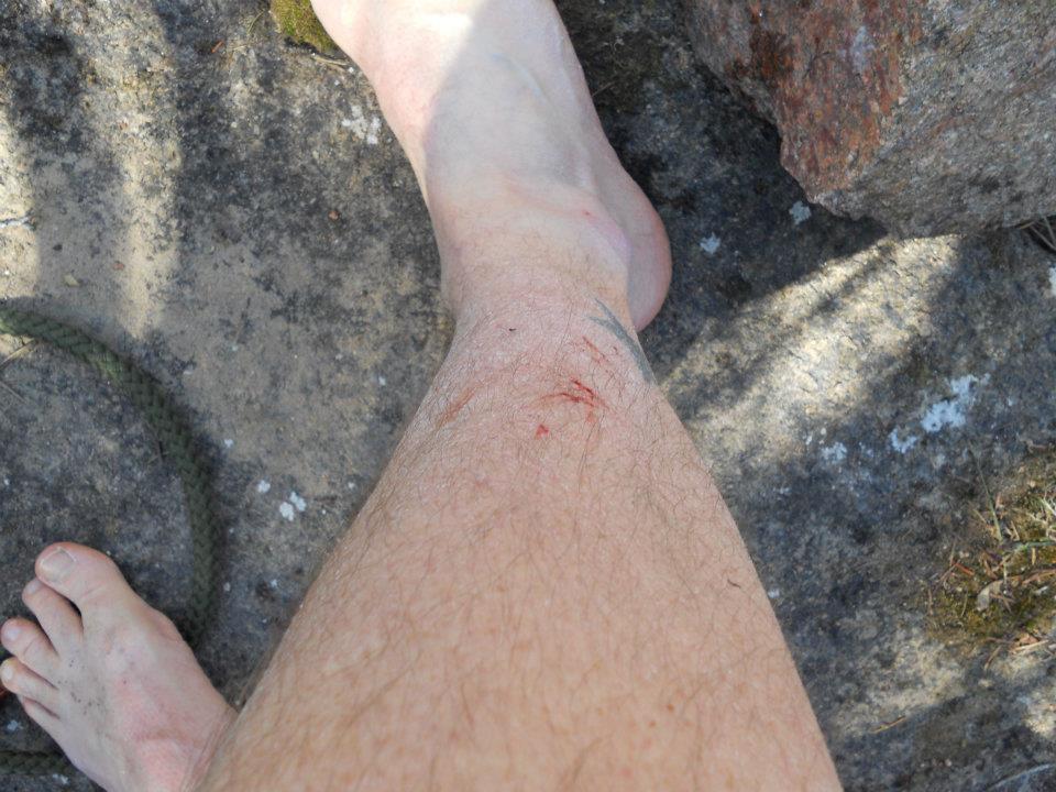
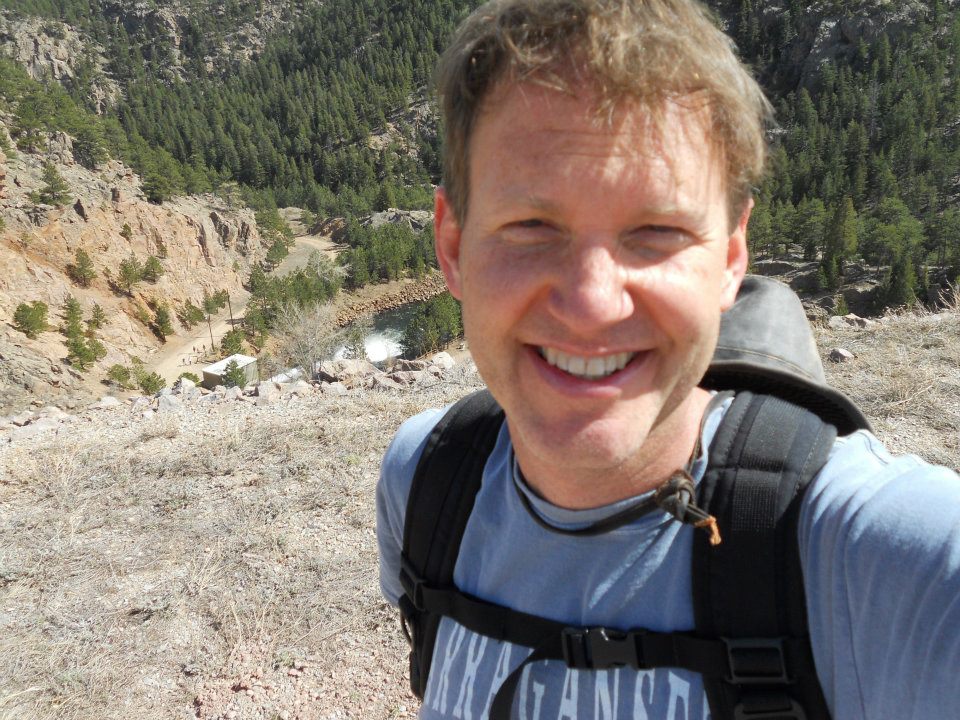
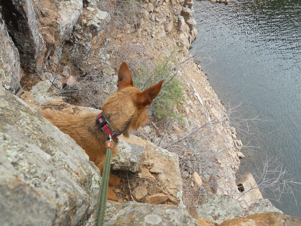
Located a river and road far below — but would mean free-climbing with Ro on my back down a steep rock wall. Took a last self-pic on my camera and began the climb down. Ten feet or so near success, Ro squirms causing us to tumble the remaining distance (carry the scar of truth on my arm today :)).
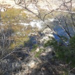
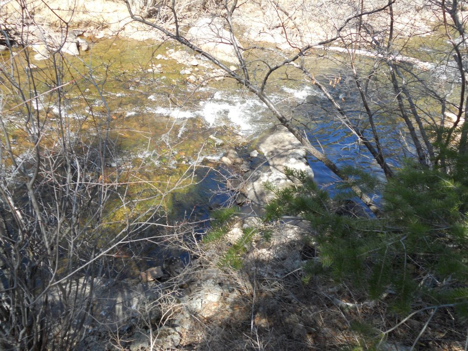
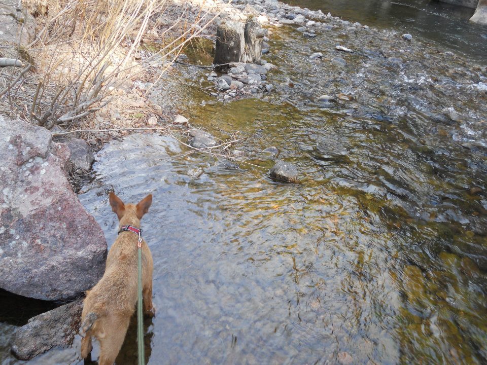
Whew, so we’re down — now a river crossing in March. C-O-L-D! Used a dead pine to steady my crossing carrying Ro underarm. Scurry up a ditch through more underbrush and pop up on a road of suburbanites — looking disheveled, bloody arm, no shoes — yeah, rocking a new look 🙂 I calmly ask — WHERE ARE WE? Luckily less than half a mile from the Dam release (which was a super cool visual).
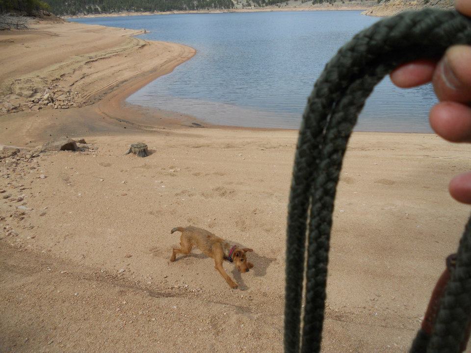
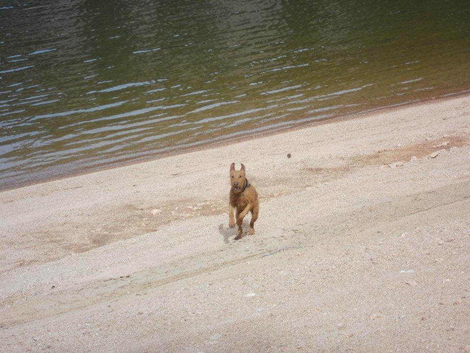
Climb the reservoir wall, hike halfway around Ralph Price [Reservoir] and start up another rock wall (Cook Mountain) with Ro on my back. What a crazy FUN day! Allowed Rowan 20 minutes of off-leash play time where he learned to swim. Step, step, PLUNGE, doggy paddle back to shore. Ok, good enough for today! LOL>
Except for the bloody arm, favourite hike to date — ok, top 3! CRAZY FUN DAY!
protrails.com – Sleepy Lion Trail/Button Rock
-
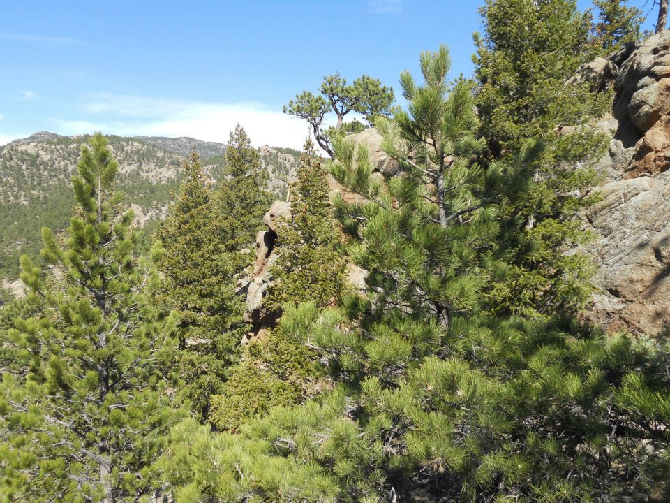
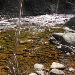
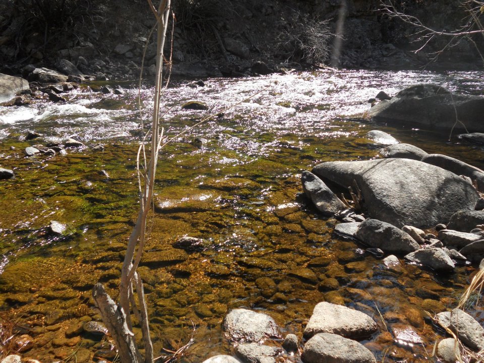
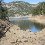
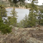
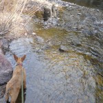
- Water, rock and trees ahead
-

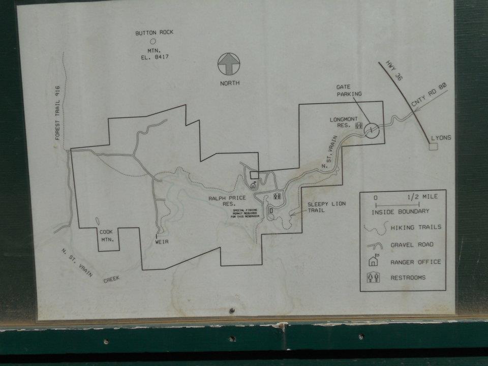
- Horses, seriously?
-

- all the comforts of home

-

- North St Vrain river
-
- named by Ranger who saw a mountain lion sleeping on trail
-
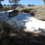
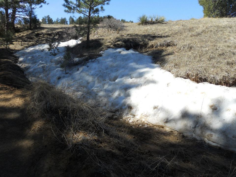
- only snow we’re gonna see this hike
-
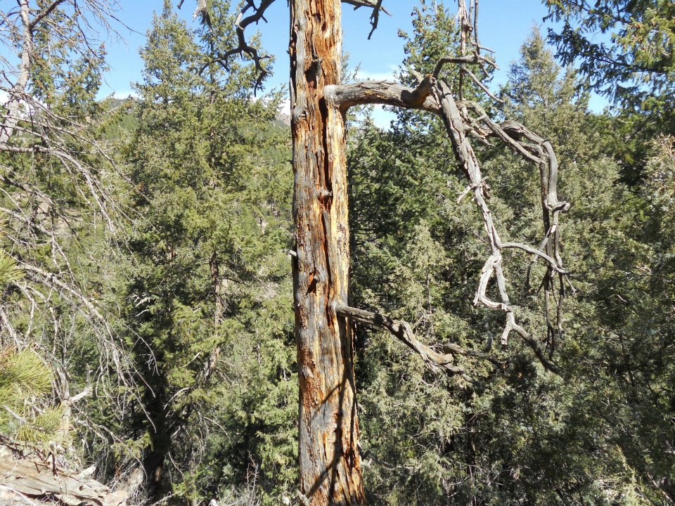
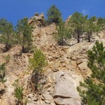
- dropped off the trail; so hiked UP – who wouldn’t?
-
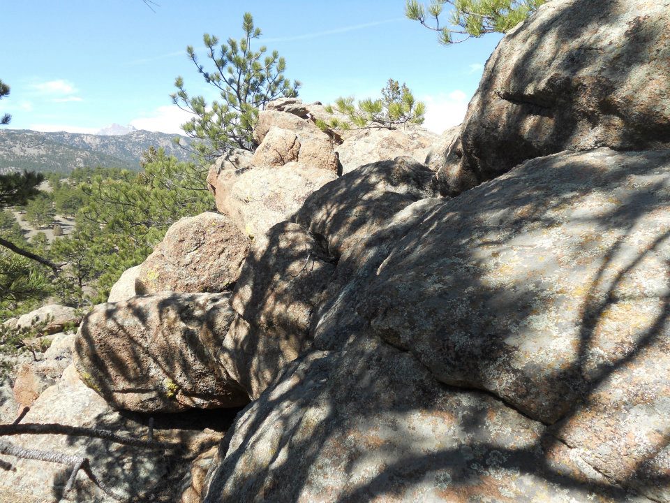
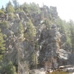
- trees to East
-
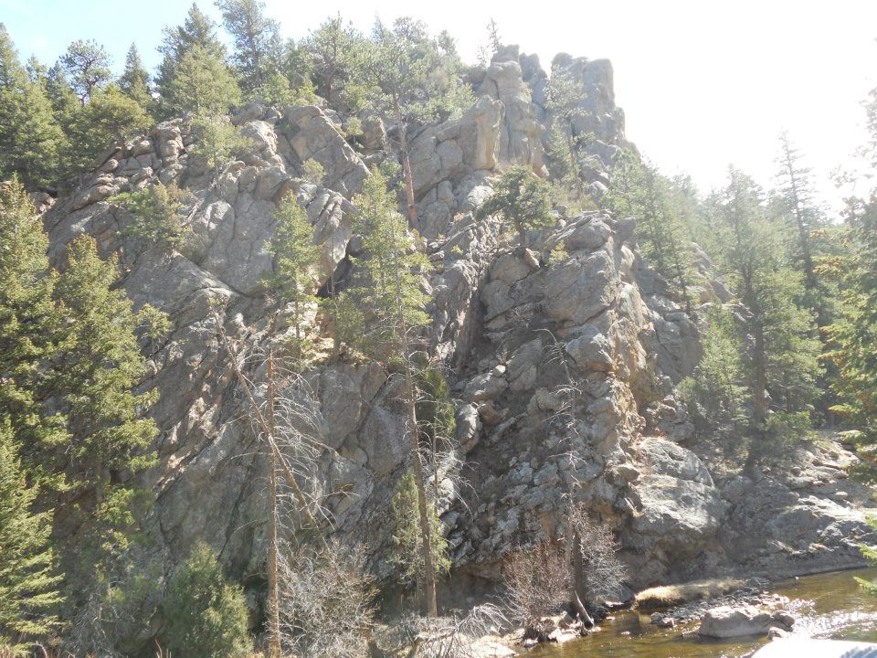
- trees to North
-
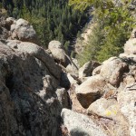
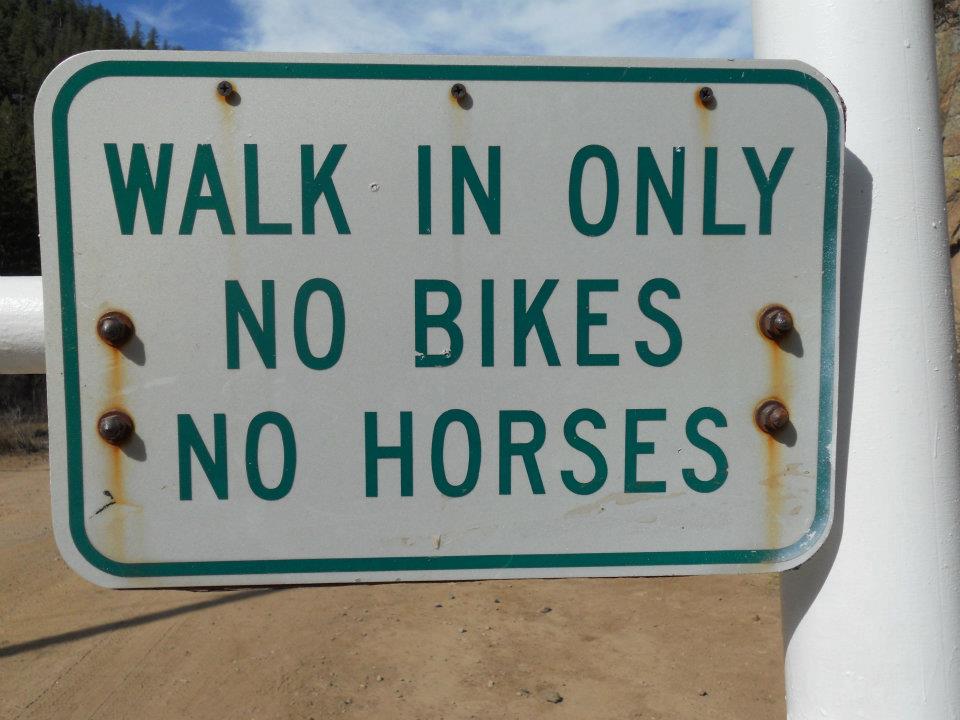
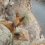
- gonna be a steep traverse down – aiming for river and road below
-

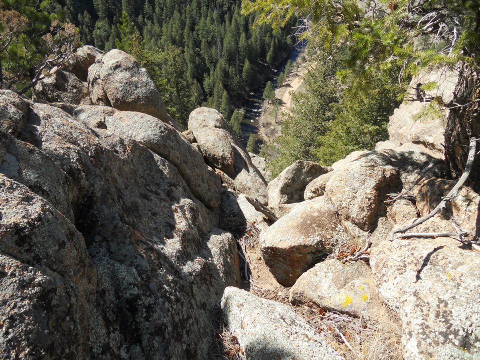
- last pic – always good to have one on your camera
-
- free climbing with squirming dog = slightly banged up body
-
- free climb down, river crossing, then road
-

- crossing in March – chilly waters
-
- off come the shoes & used a dead pine tree to steady our river crossing (portaging dog)
-
- everything looks better from the other side
-
- what was I thinking?
-
- river, then a road
-
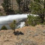
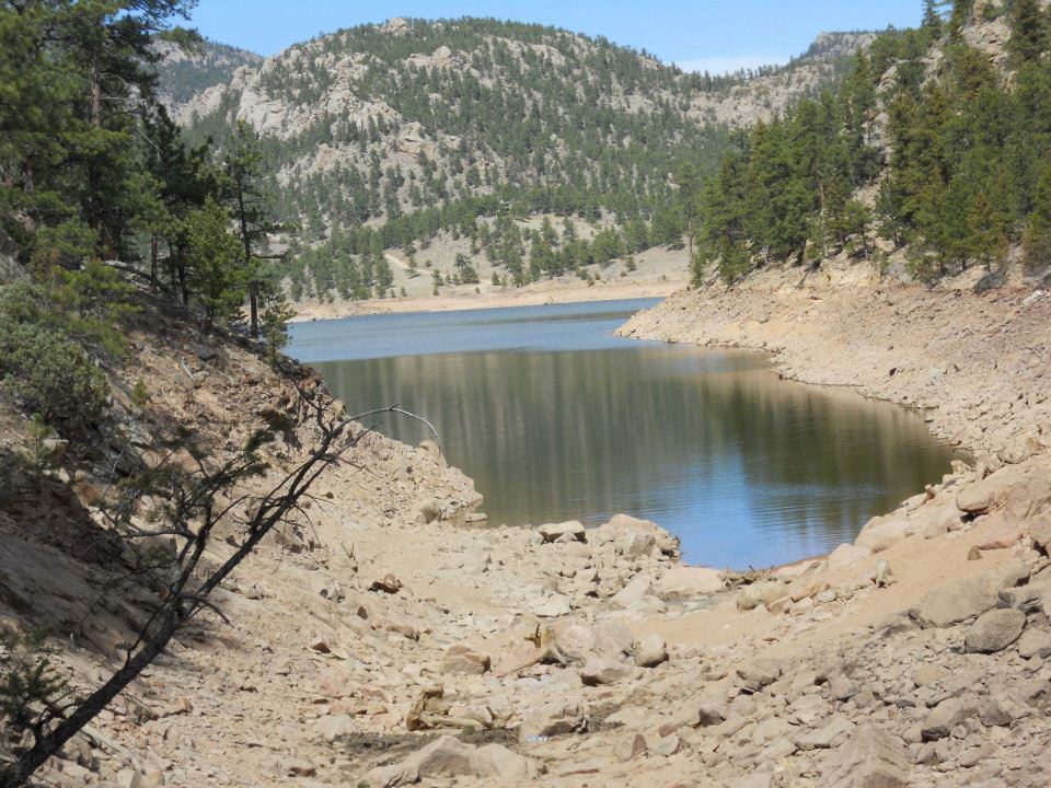
- crazy water blast; reservoir release due to early snow melt

-
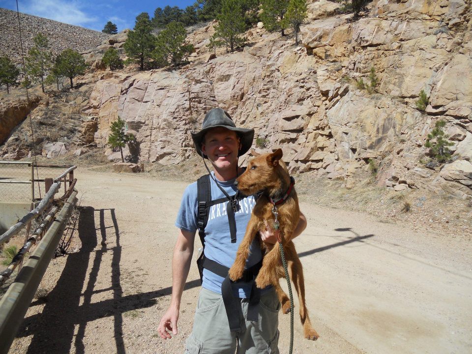
- hat got smushed on the climb
-
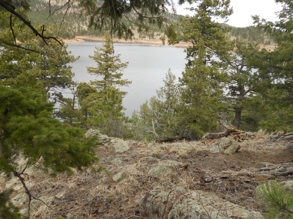
- so what’s it look like from the top?
-

- dam release less impressive from a distance
-
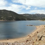
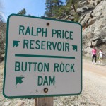
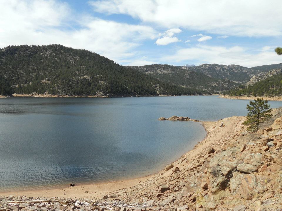
- Ralph Price Reservoir
-
- inlet near Cook Mountain
-

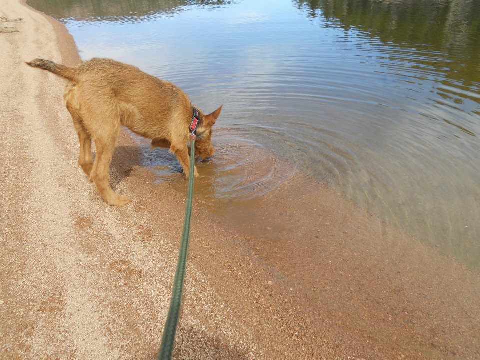
- drink before the climb
-
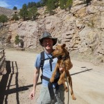
- dude that’s a long way down; carry me
-
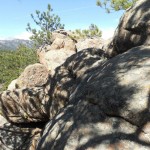
- near summit
-
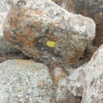
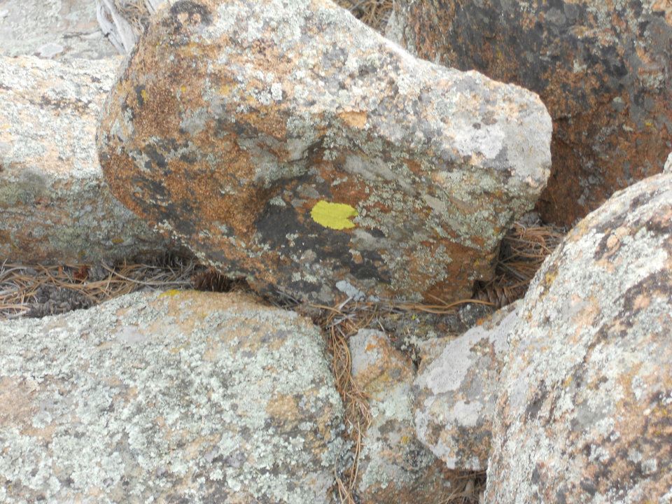
- SUCCESS – ‘yellow’ marks the spot
-

- REWARD – 20 minutes off-leash play, run, swim
-

- happy dog
-
- last river crossing – FISH!
-
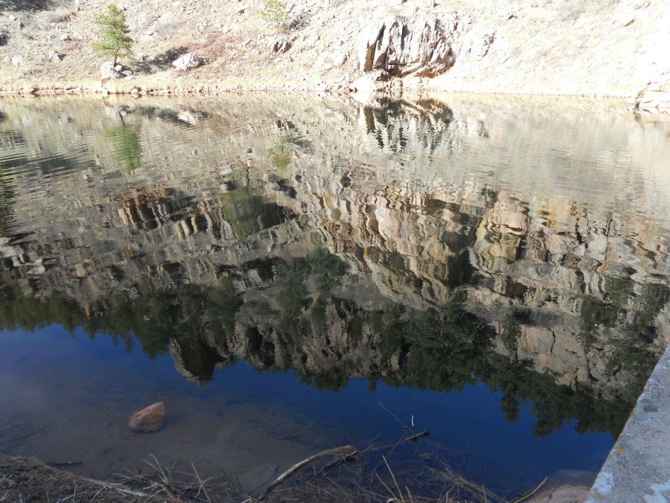
- reflection of our day
-
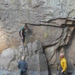
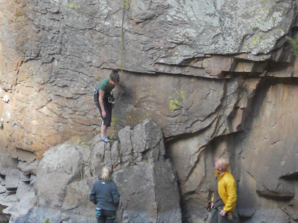
- Beginner Class: use of ropes, no dog
-
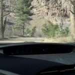
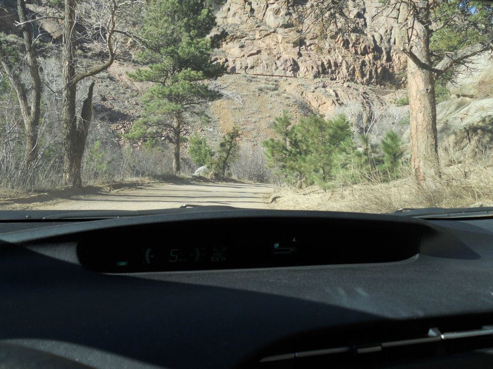
- next car will be a truck; protrails.com never noted County Road 80 was all dirt
-

- …and it’s nap time
-

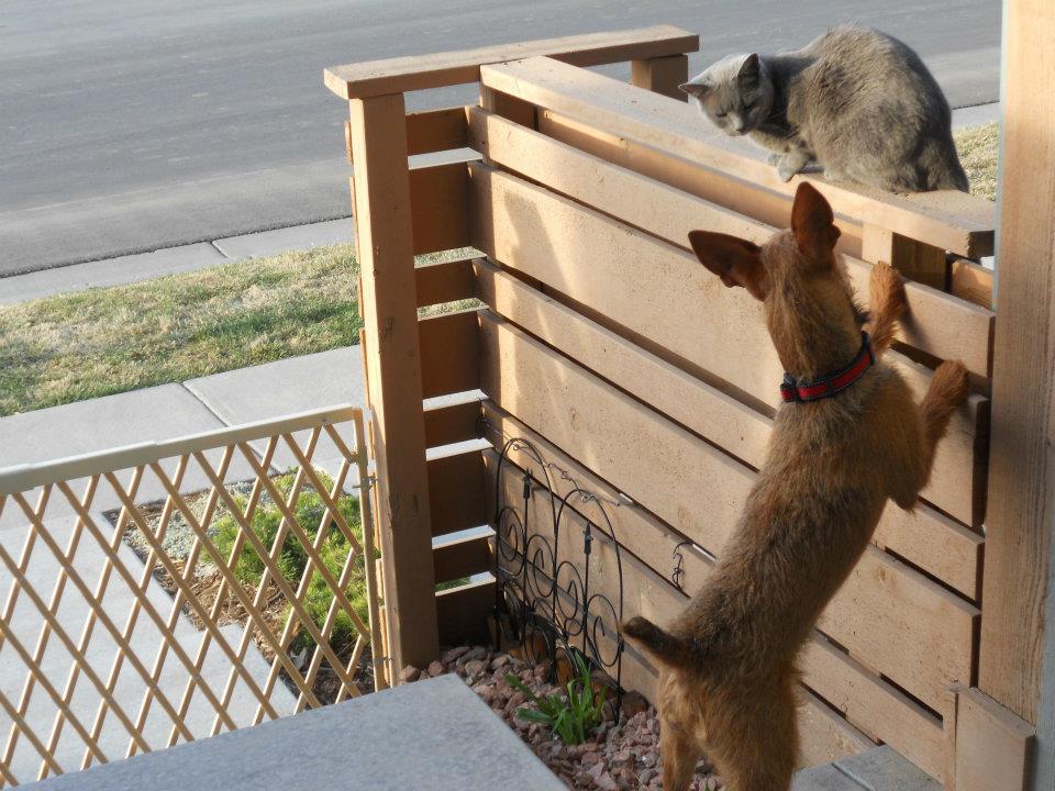
- Sunday morning coffee – no cats allowed!


Leave a Reply